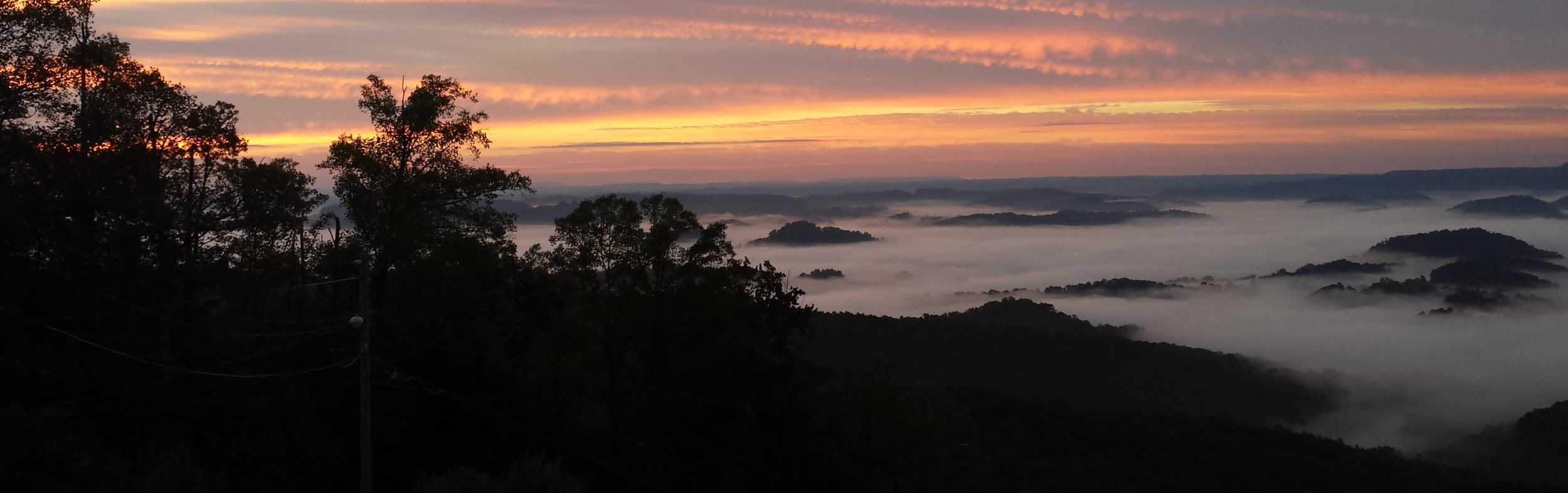
I knocked out 2 more sections Saturday of the Mason-Dixon Trail leaving me with the just the 2 most western maps left to complete the entire trail. The temperatures were up into the mid to high 80s, but I had a great time.
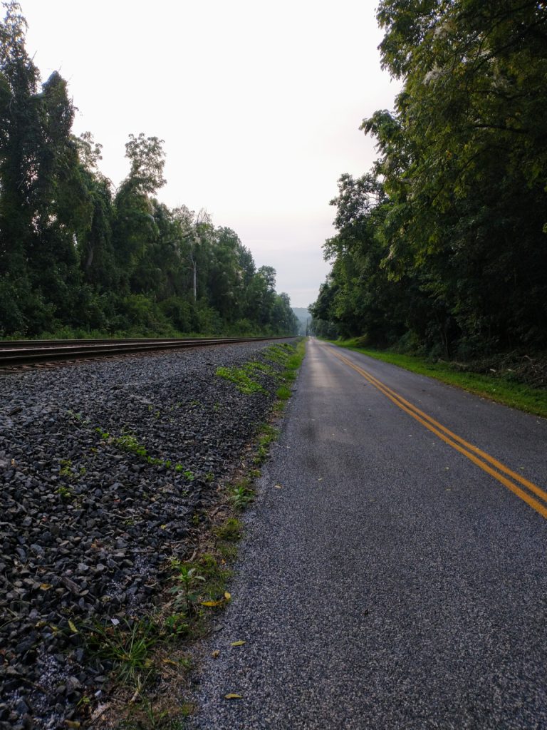
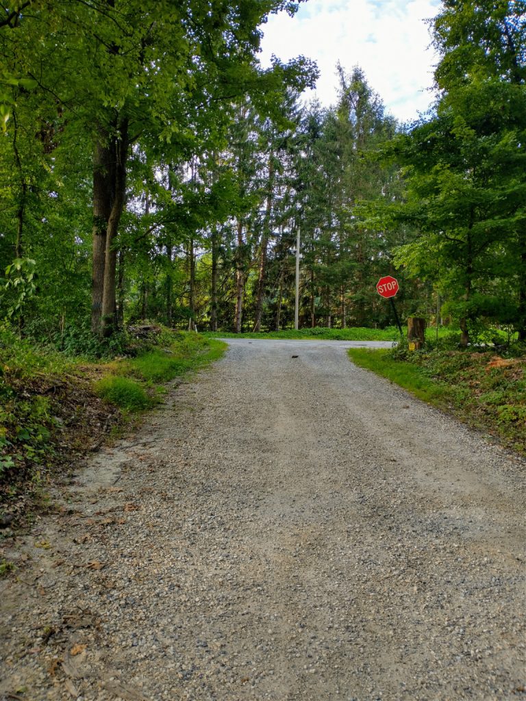
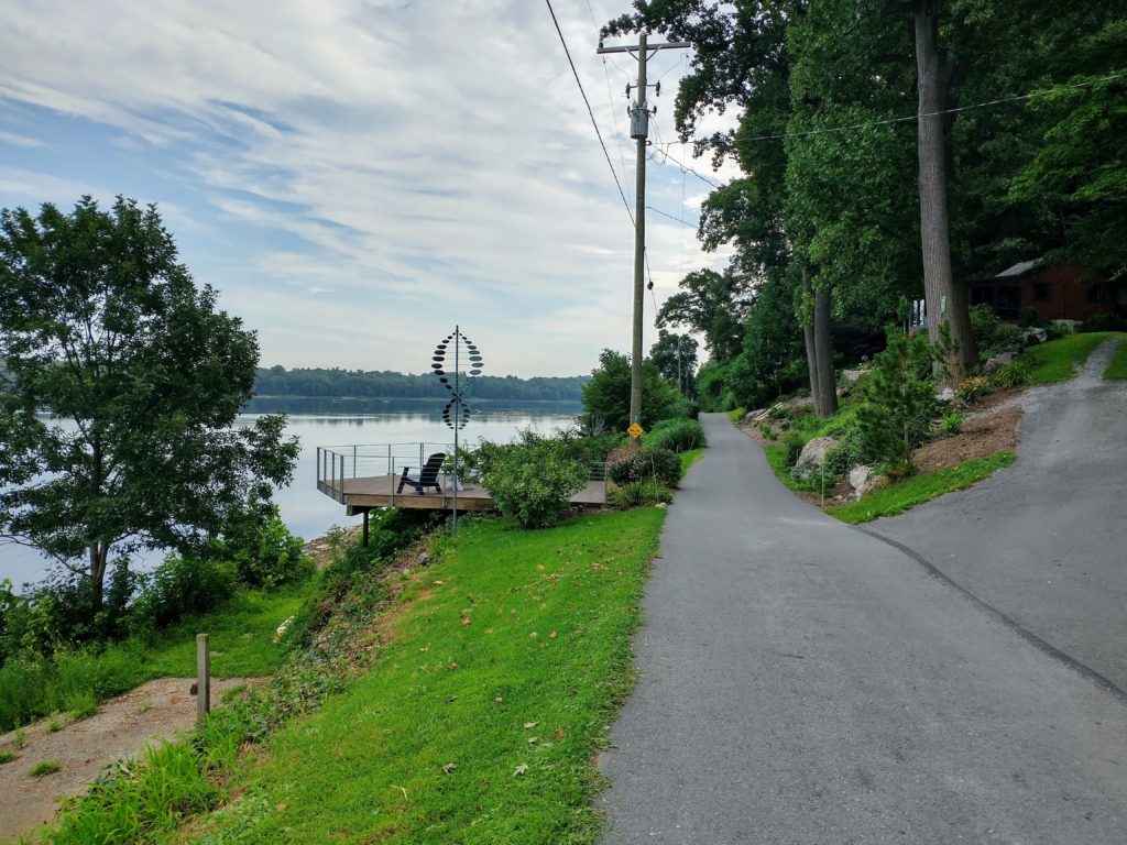
Map 3
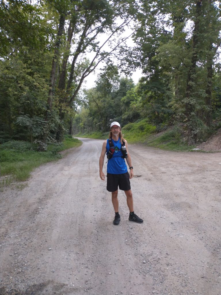
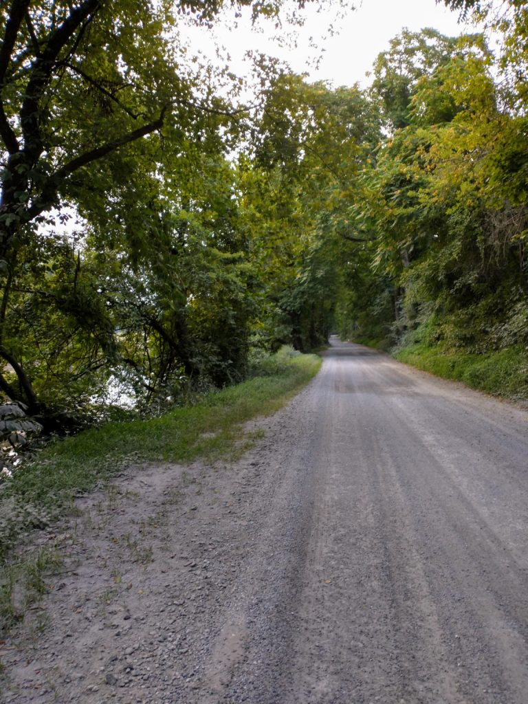
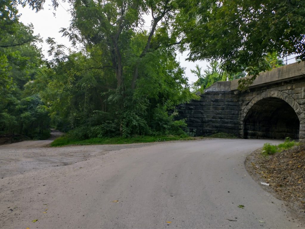
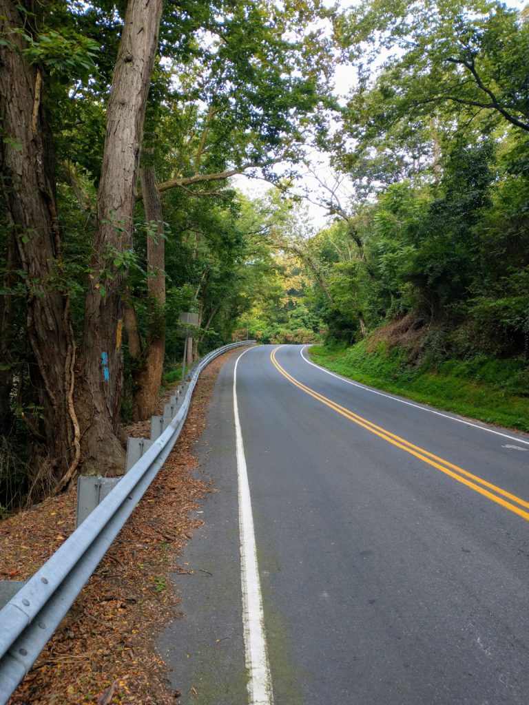
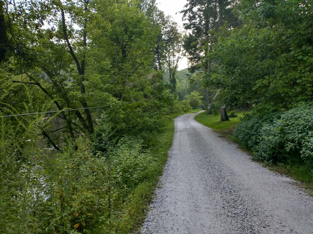
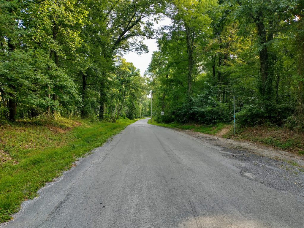
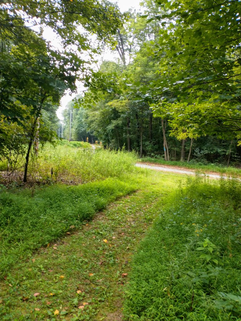
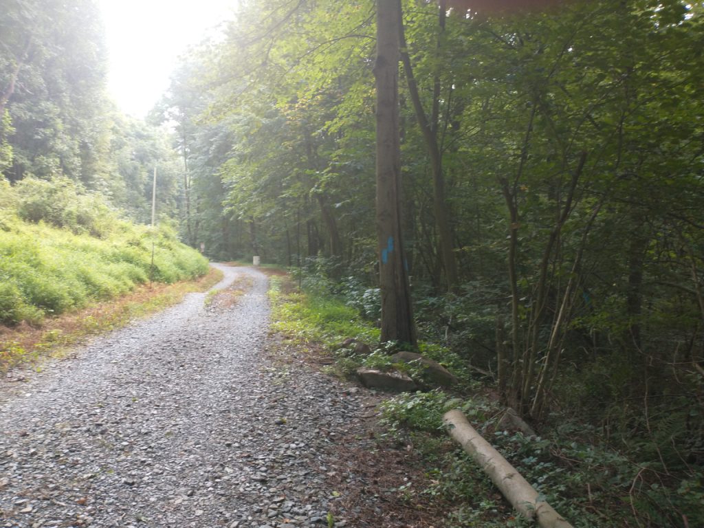
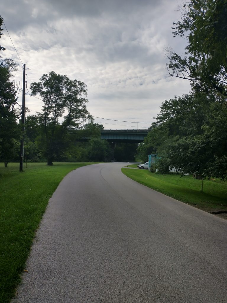
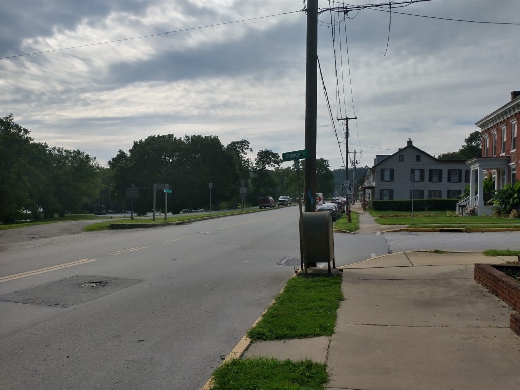
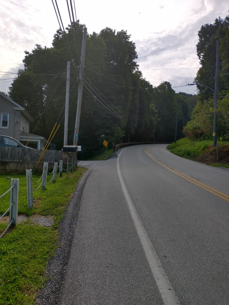
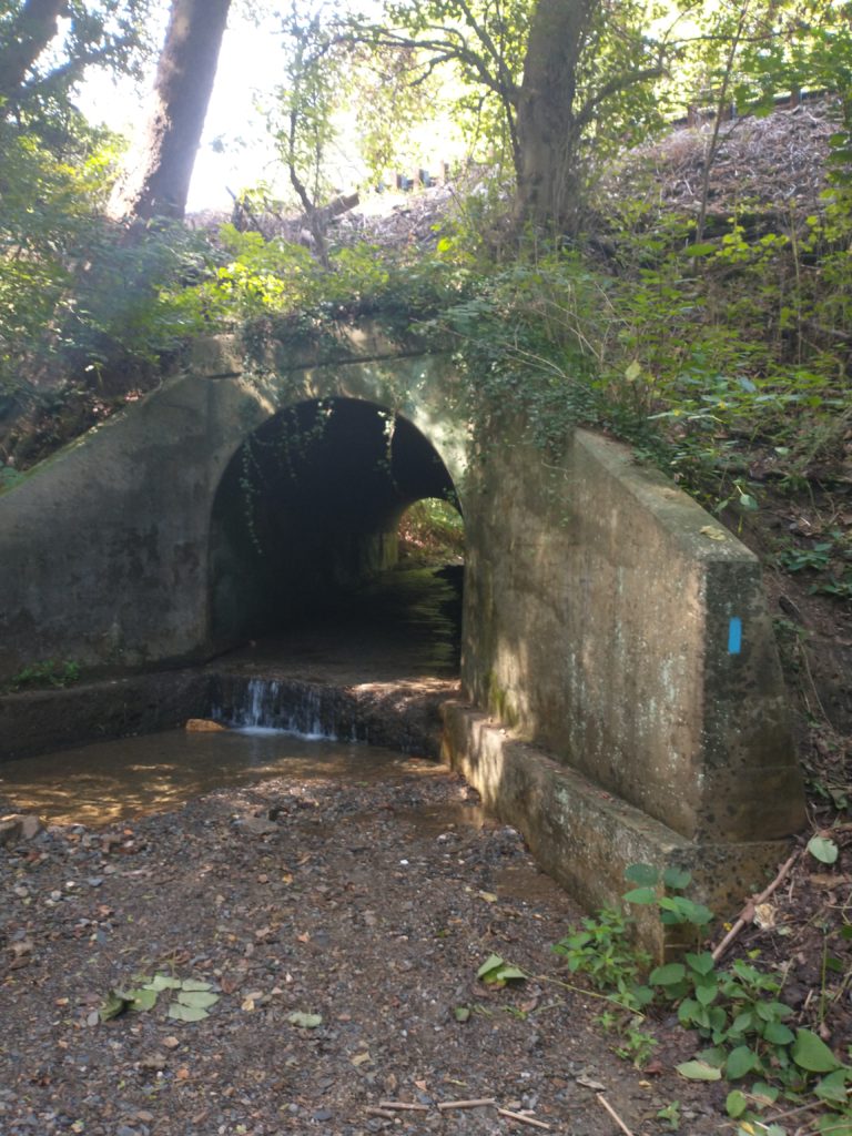
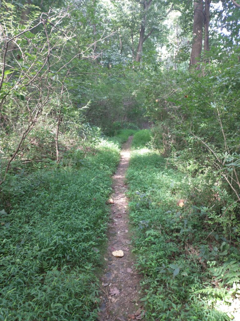
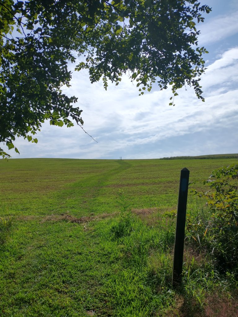
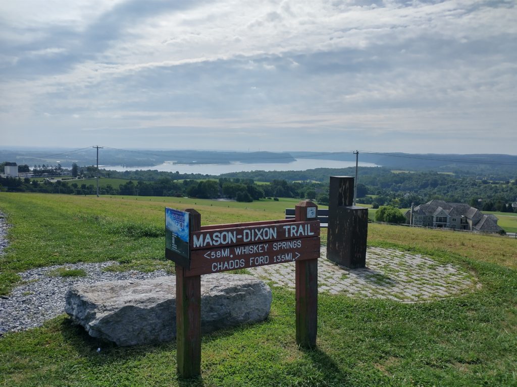
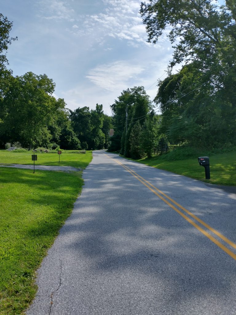
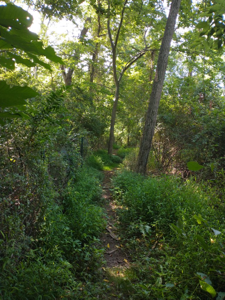
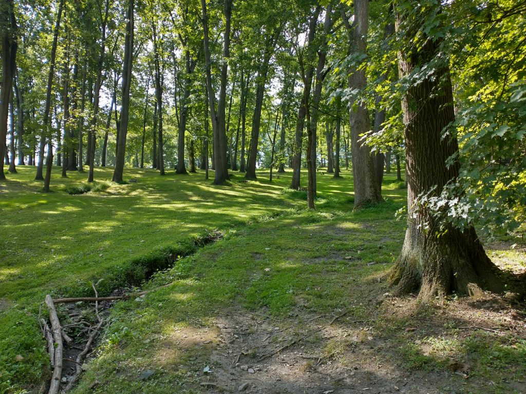
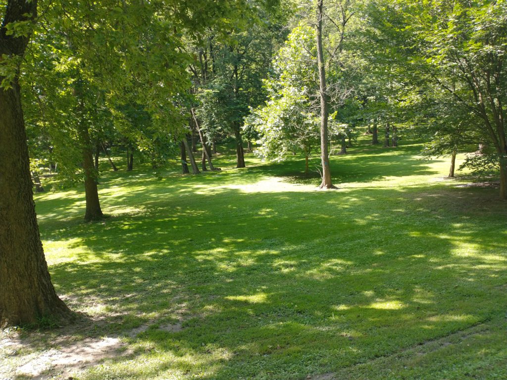
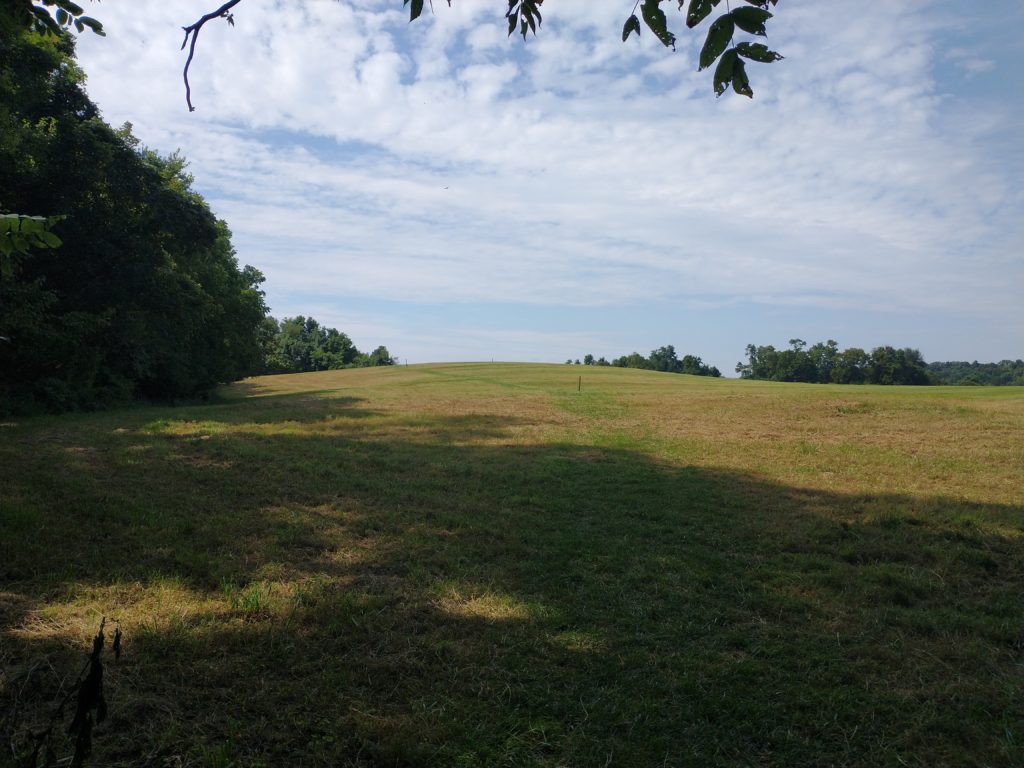
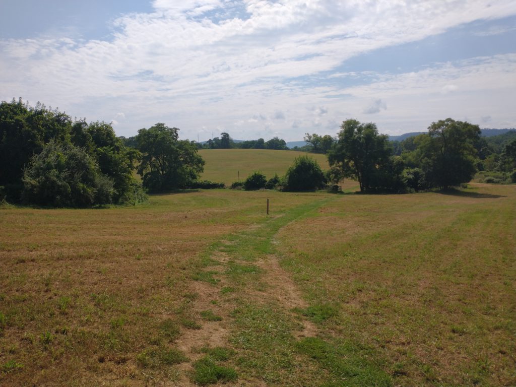
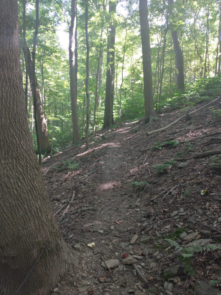
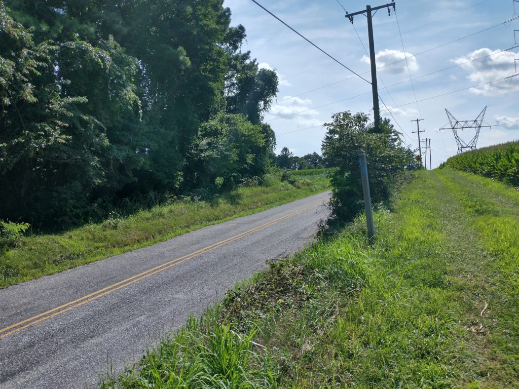
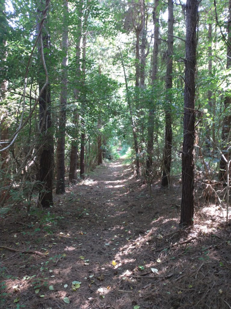
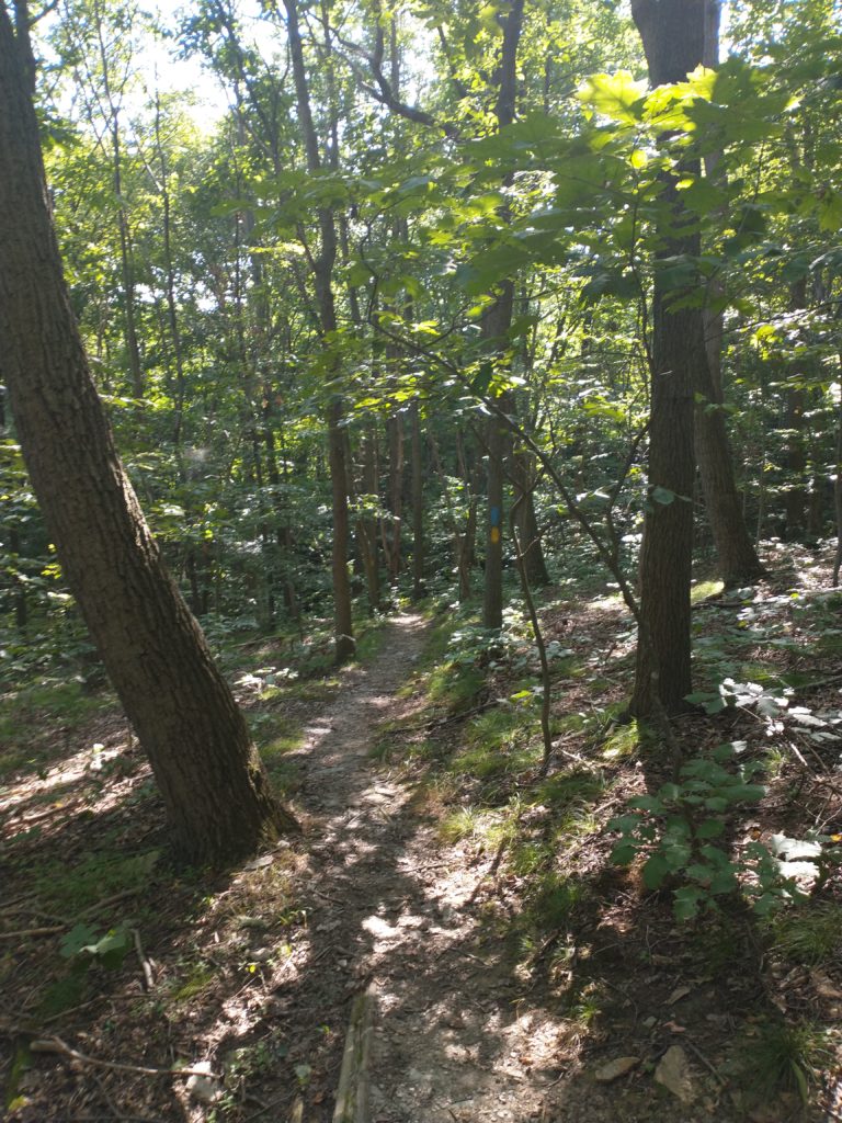
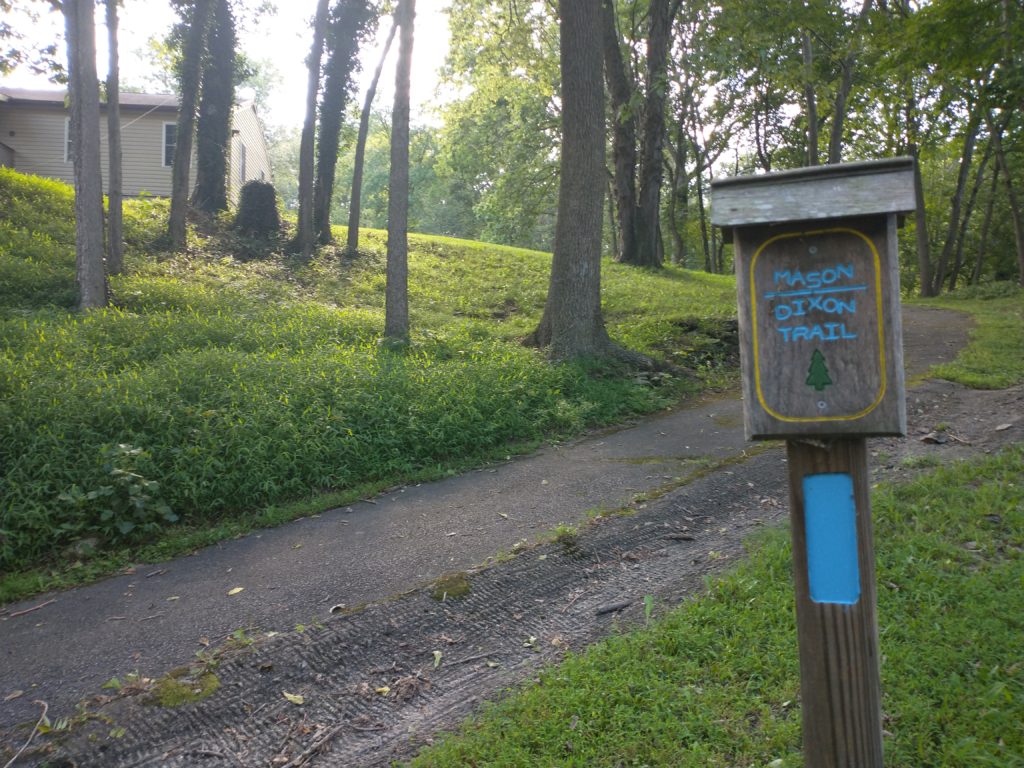
The start of Map 3 with Gut Rd stretching out behind me. Suns out, guns out.Gut Rd is 1.9 miles of pancake flat gravel road. Nice chill way to start out the day.Right turn through the underpass and then an immediate left onto 2nd St.Another long straight road after leaving Saginaw.Just over the hill there is the left turn onto Codorus Furnace Rd.After crossing Codorus Creek (just visible on the left) you head down another flat gravel road. Gee, this is pretty easy. Through a yellow gate takes you up River Farm Rd. And when I say up, I’m talking 400 feet in a little over a mile.Left turn here onto Codorus Furnace Rd, which had some fast moving traffic on it.Thankfully, the left onto North River Dr. isn’t too far away.And you make an immediate right into the woods, which is a new section since the 2016 maps were printed.Trails! Finally some beautiful single track trails, which were very well maintained.Left turn onto this fire road.A half mile or so of steady downhill running almost lulled me to sleep and I just barely noticed the right turn into the woods. Trail’s pretty obvious, right?Footing in this next section is pretty technical.Then you pop out and make a right on North River Rd. Don’t mind the 35 large, obvious “private road” signs. This will eventually take you to a short trail section then it’s back onto the road.Trail passes under Rt 30 as you enter Wrightsville. I was still doing well on fluids so didn’t need to stop off at a store here.Short detour to the left along the river as you get to Rt 624.Left turn off Rt. 624 onto Lockwood Rd.Then an immediate right into the woods. Hey, only 20 miles to an overlook!Through the culvert under Rt 624. Water level was only about an inch so didn’t get too wet. Then it’s an immediate right up the hill on the other side.Leading to some more gorgeous trails.Which dumps you out onto a private road where you turn left, go past this large gate, and then cross this road.Short trail section brings you to this huge field. Just follow the posts in the distance.The views definitely don’t suck here. This sign’s a little old as I think the M-DT is up to about 200 miles long now.And then it’s a short drop off the top of the hill to the end of Map 3. Map 4 start at Trinity Church Rd. there on the left.
Map 4
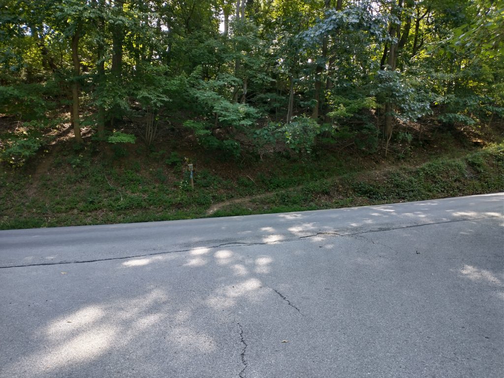
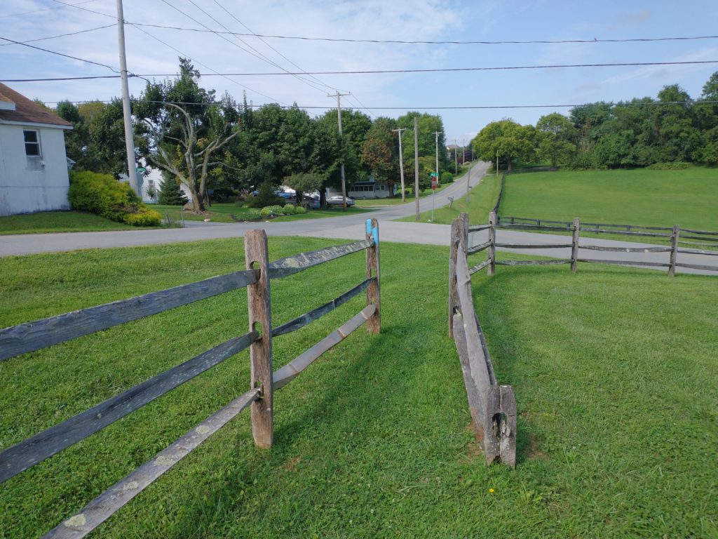
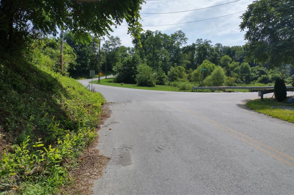
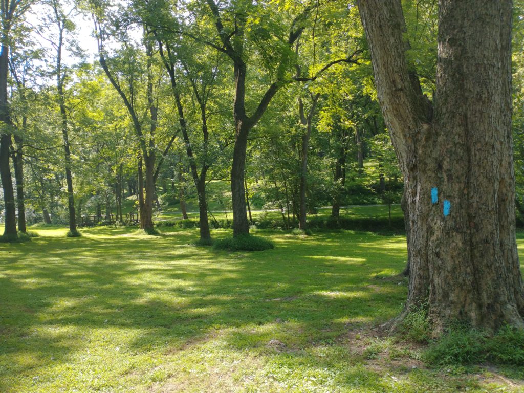
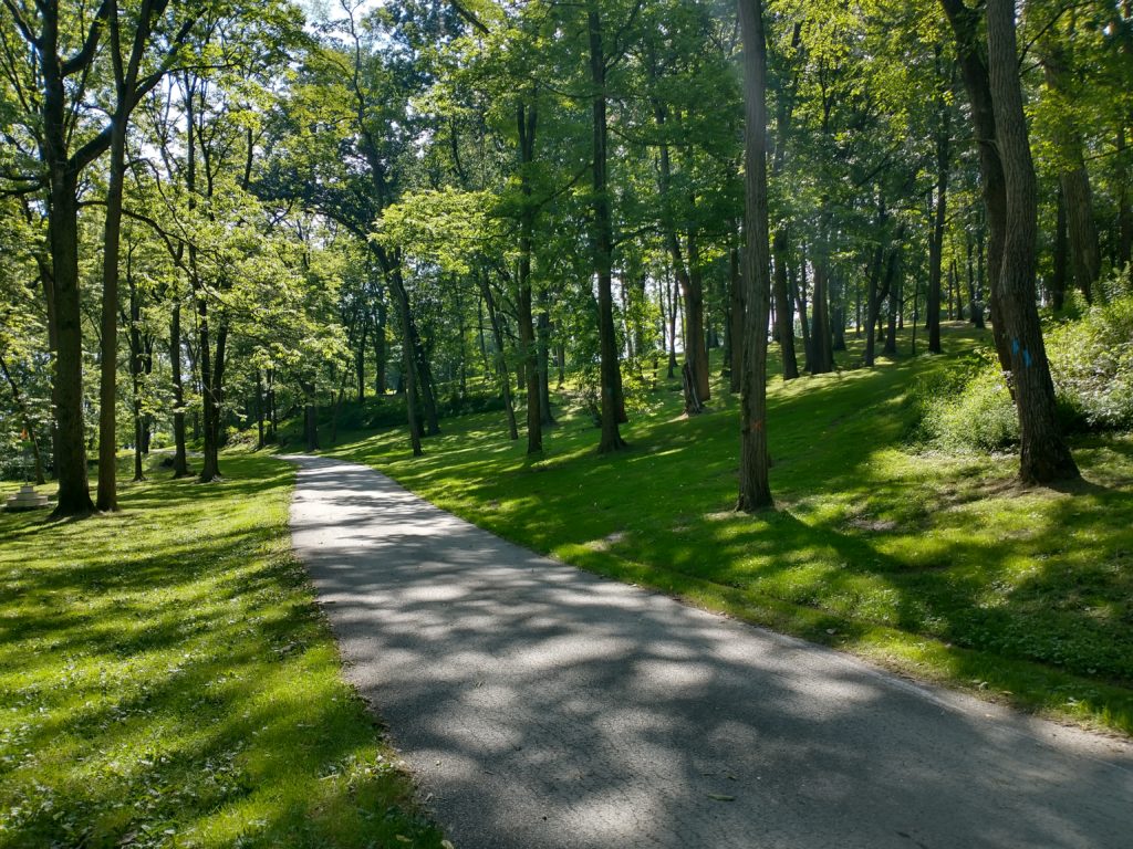
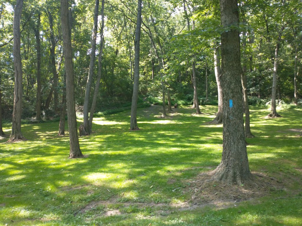
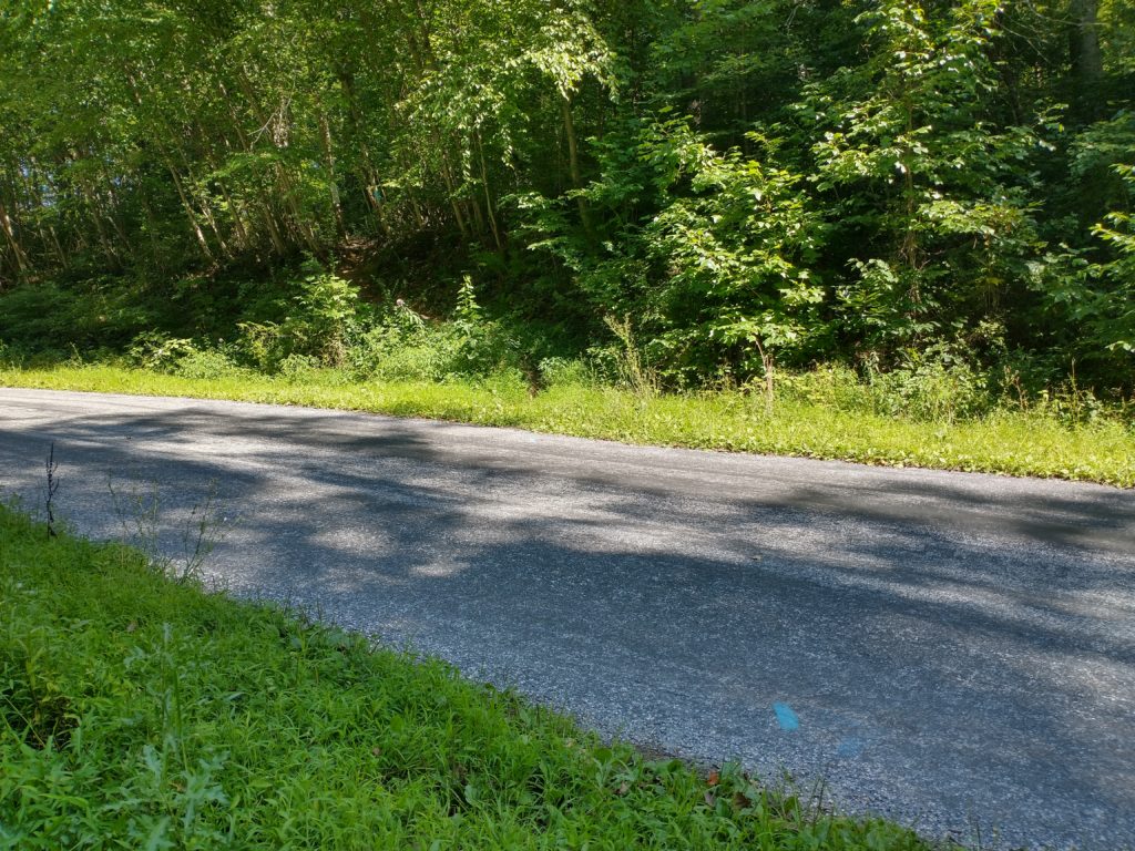
Map 4 begins with a mile of easy downhill running to where you go straight on Klines Run Rd.Another point where I almost missed a turn. Turn right here just before you get to that fence.Then it’s a short run along here between the fence and a driveway.Which takes you to Kline Run park. There’s no obvious trail through the park so you’re running blaze to blaze. They’re spaced quite a bit apart causing you to play Where’s Waldo with the faint blue marks. Here you head across the small bridge in the background to the park road.You don’t turn left here on the road. Instead you head more up the hill at about 1 o’clock.Heading up the hill. You see the blaze there in the center, right?At the top of the hill, you head back down the other side at about 1 o’clock.And then exit the park straight ahead.Another short trail section takes you to this huge field where you’re running post to post again. It would have been nicer if the temps weren’t pushing 90 and my fluids weren’t rapidly dwindling. Where’s the shade?!?!?!Short trail and road sections take you to Rt 624 again. Here’s the right after crossing Cabin Creek onto this gravel road.When the gravel road turns left, you stay straight onto this path.
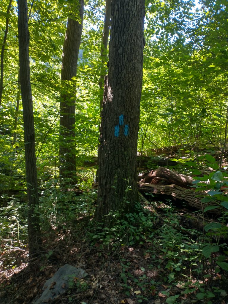
The next section of trail could have been marked better as several blazes where very faded. If you don’t see a blaze within a hundred yards of an intersection, just try the other way. I got a little lucky and seemed to guess right when I was in doubt. Eventually, you get dumped down to Rt 624 again and the trail was clearly marked to turn left even though you want to go right. I milled around a bit before finally heading right where the first blaze was a couple hundred yards down the road.
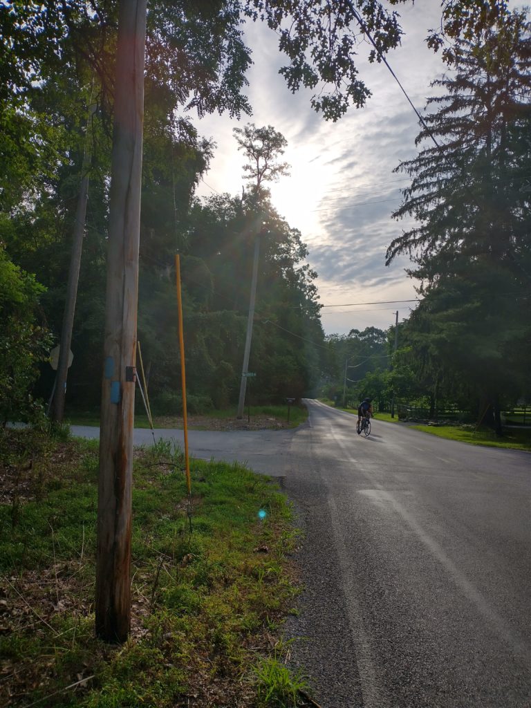
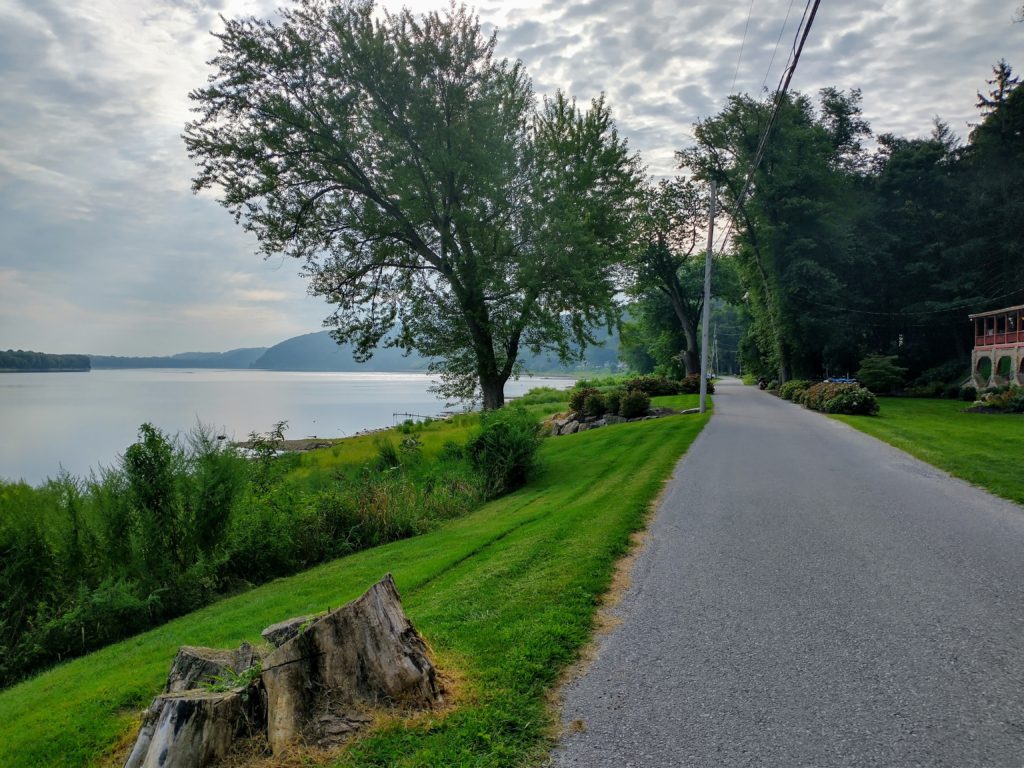
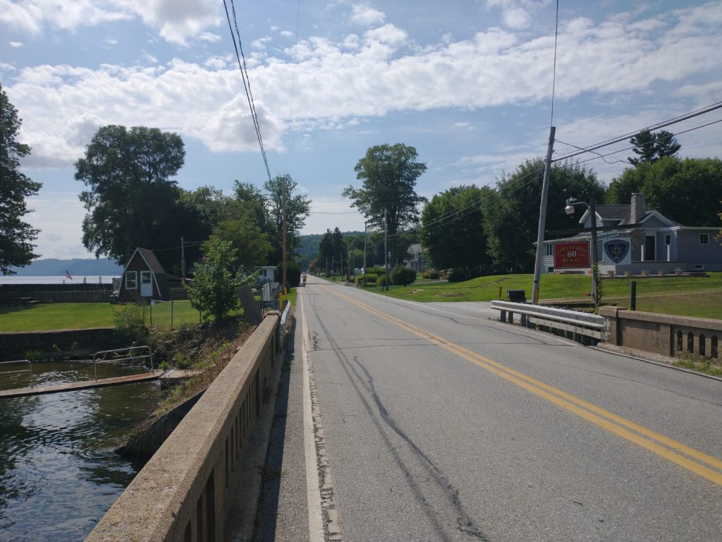
Yay, I’m going the right way! Shanks Mare in the background.
Shanks Mare was a godsend for me as I ran out of fluids about 20 minutes earlier. The store didn’t have much in the way of choices (water, Gatorade), but it was enough to keep me going.
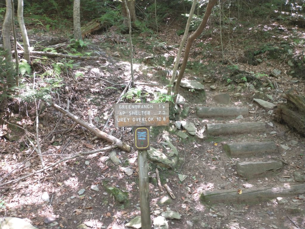
Only 11 more miles to the overlook. And now the fun begins.
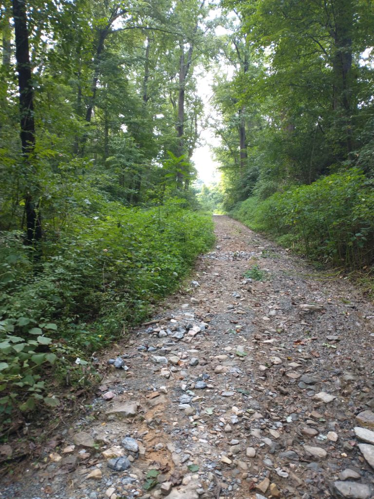
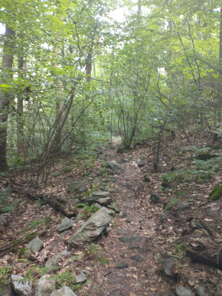
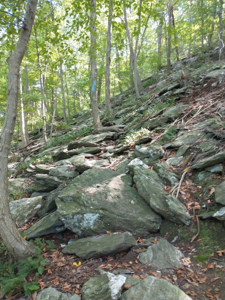
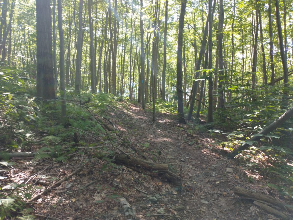
The final 14 miles of map 4 are far and away the hardest section I’ve done on the M-DT. The trails go straight up, then straight back down highly technical terrain. My watch measured 3400 feet of elevation gain and loss or 239 feet per mile along through here. Very, very slow going. Be forewarned.
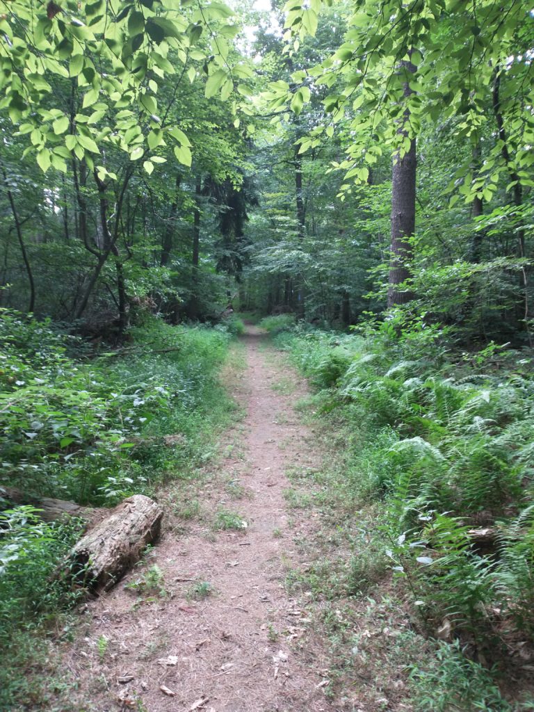
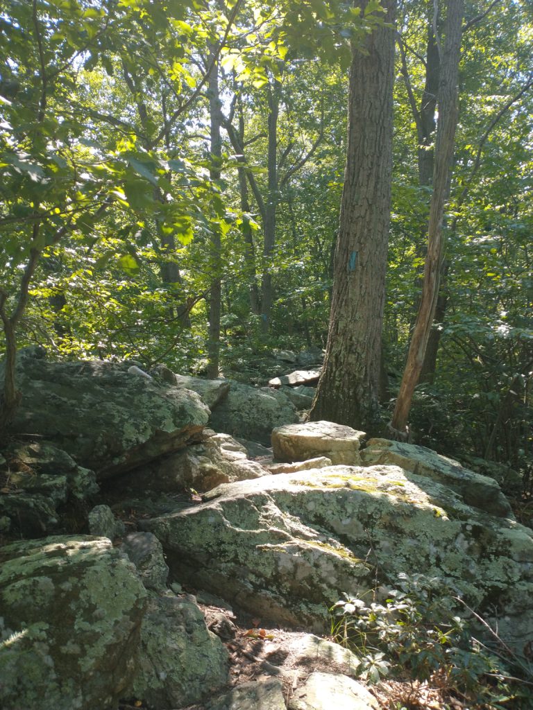
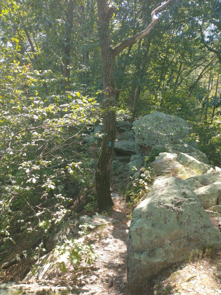
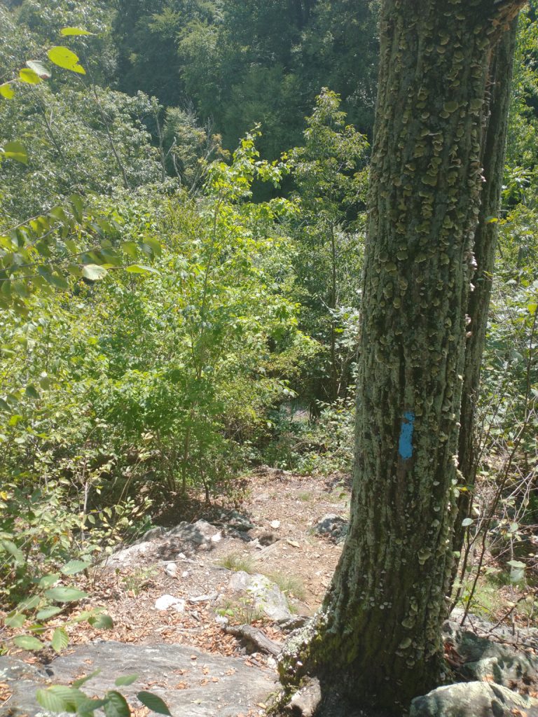
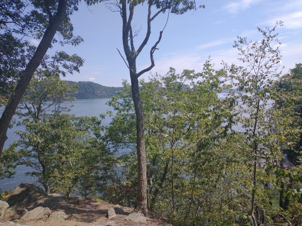
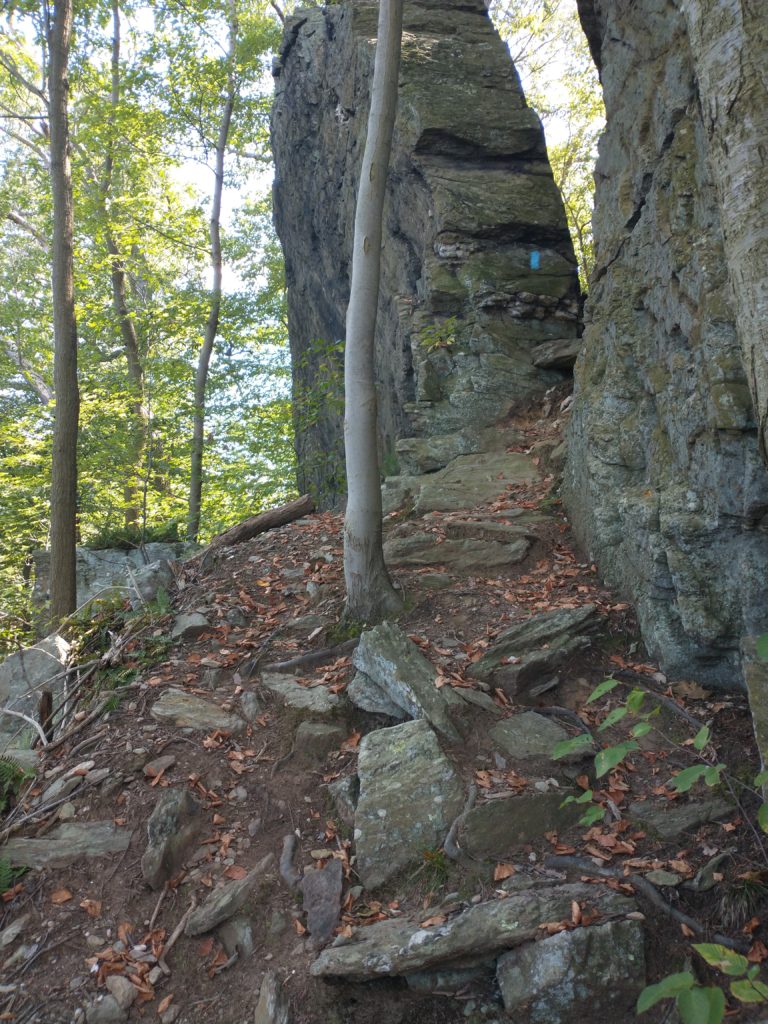
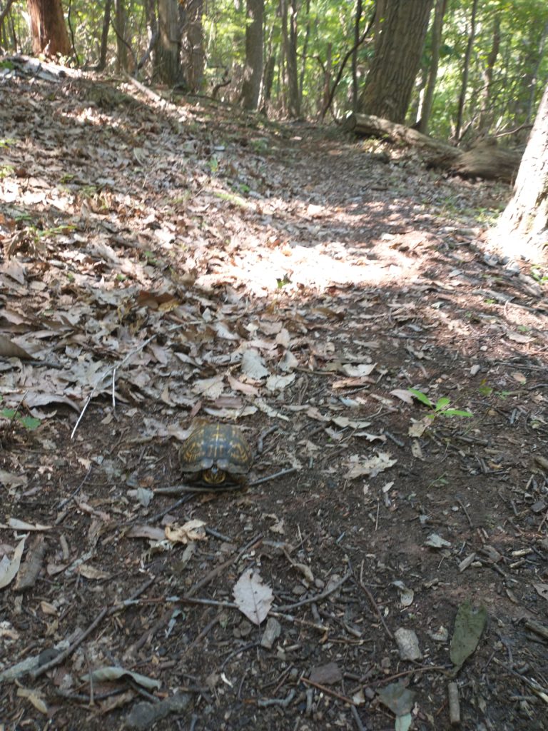
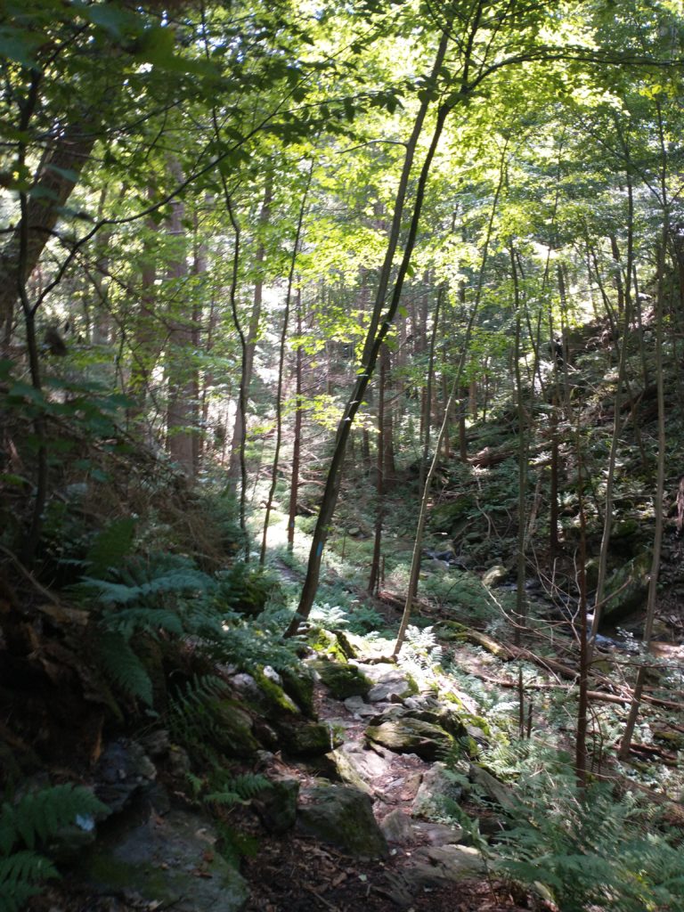
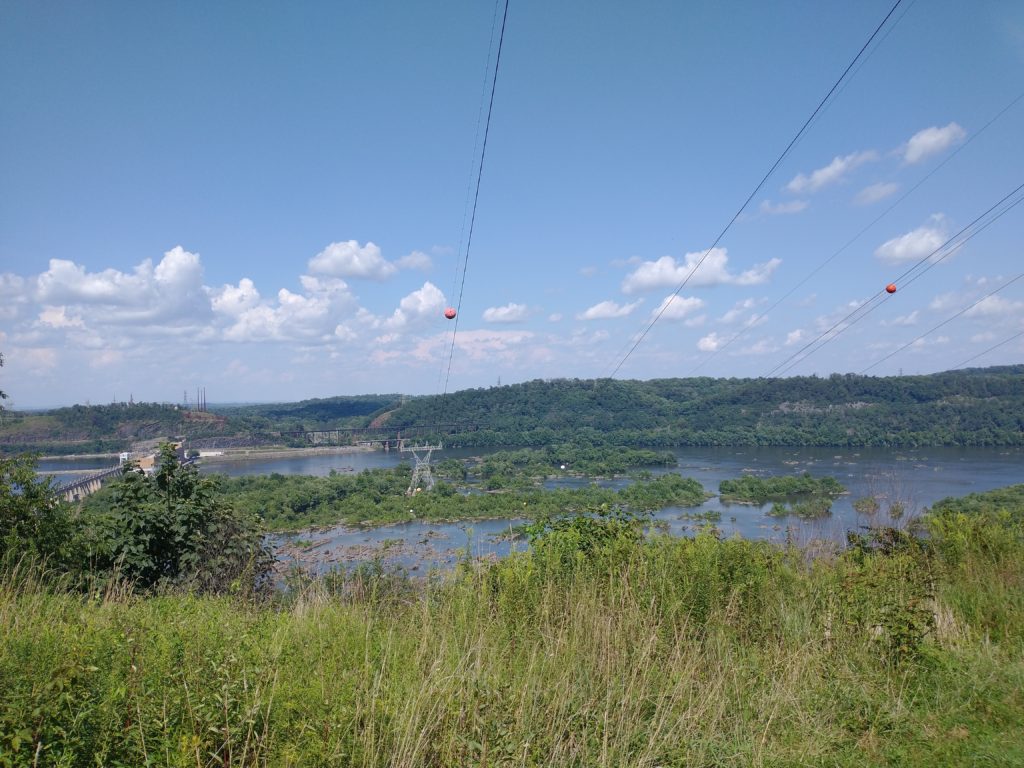
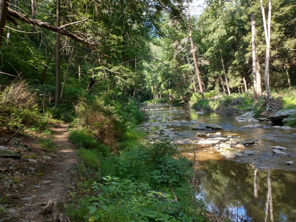
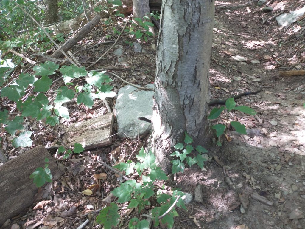
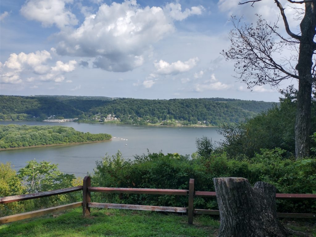
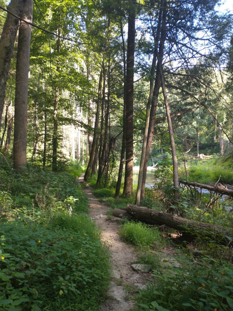
It’s almost more bouldering than running/hiking in spots. And things get kind of narrow.Good luck trying to run down these hills.The views helped distract you from all your huffing and puffing.There’s some short sections that tease you into thinking the hard part is behind you. It’s not.Tight squeeze here between these huge rocks.Found this guy on the trail several hundred feet (and probably like 2 weeks of crawling) away from the river.Trail heads up next to a run here for a short distance.Some nice views from the power lines.Saw these triple blazes today for the first time. Took me a while to realize they were at V intersections basically combing left and right turns into one marking.Almost done with the hard stuff.Crossing Shenks Ferry Road at mile 14.Really pretty trails through this next section.Took me a while to figure this one out. The diagonal blaze on the road shows the direction you need to go. There’s another one on the opposite side of the road where the trail enters the woods again.Trail follows Otter Creek for about half a mile.Gee, that’s an odd looking stick. . . snake!Finally, Urey Overlook.Next section of trail is blazed blue and yellow.Back along Otter Creek for over a mile. What’s that I smell? I think it’s the barn!And then finally the driveway up to Otter Creek Campground.
Overall, another great day out on the M-DT. I can’t recommend this trail enough. While there was a decent amount of road running on Map 3, these were mostly back country roads or private lanes along the river with minimal traffic. Map 4 may be very challenging, but it was well worth the effort. And now on to the final 2 maps!

One thought on “M-DT Trip Report – Maps 3&4”
Comments are closed.