
With the cancellation of Hat 50K, I decided on running maps 7 and 8 of the Mason-Dixon Trail as plan B. I am in the middle of section hiking/running the M-DT as prep for a fastest known time attempt at some point in the distant future. My son and I did the last 2 sections last summer so this would put me 40% towards my interim goal.
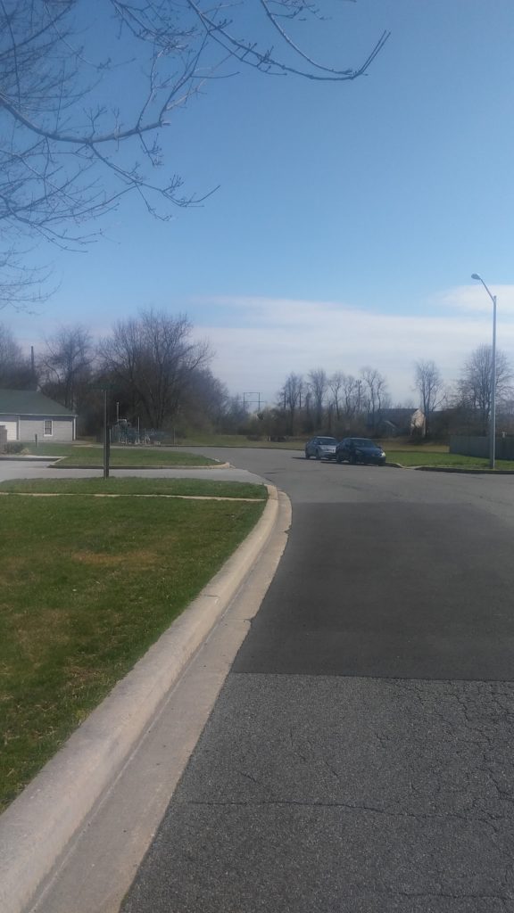
Map 7 technically starts with 1.8 miles in Havre de Grace, however the Route 40 bridge across the Susquehanna River is closed to foot traffic so I had my wife drop me off at Lindy’s Market on the corner of 40 and Aiken Ave a little after 8am.
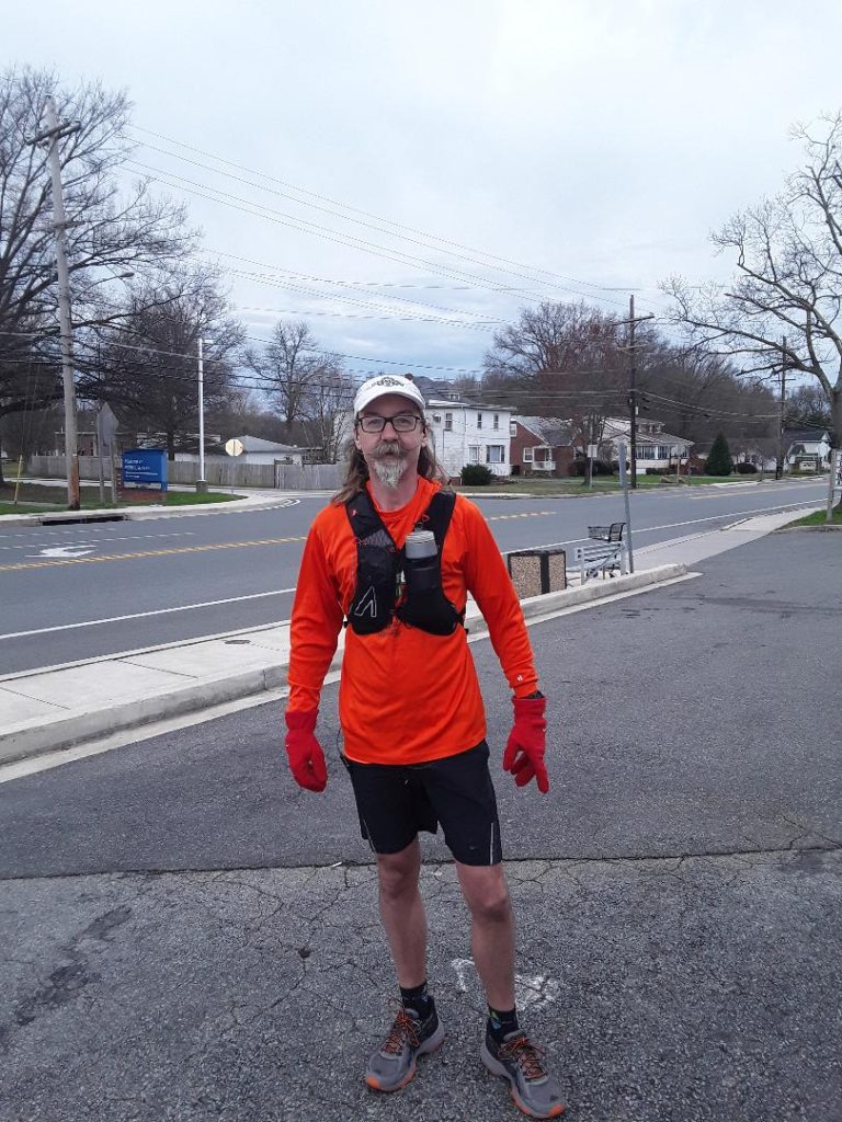
After a quick kiss good-bye (social distancing be damned), off I went. My goal for the day was to move at a nice, comfortable 13-14 minute pace right from the start. Not even a half block down the street, I notice my pack sliding all over the place. I can’t remember the last time I wore it, but I must have been wearing much bulkier clothes. It took another hundred yards for me to decide I had to stop and tighten it up or my back would be rubbed raw before I even finished 5 miles.
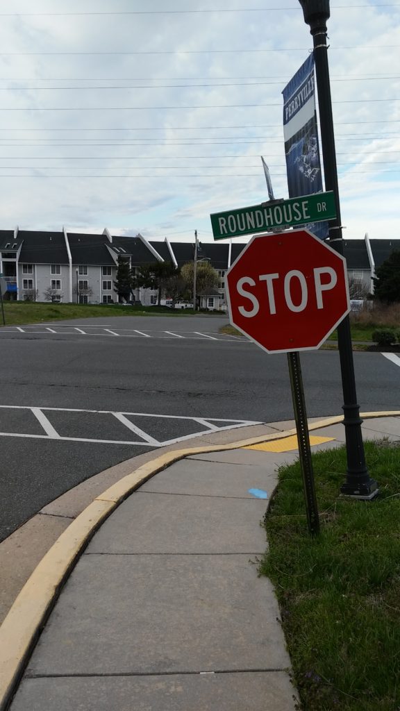
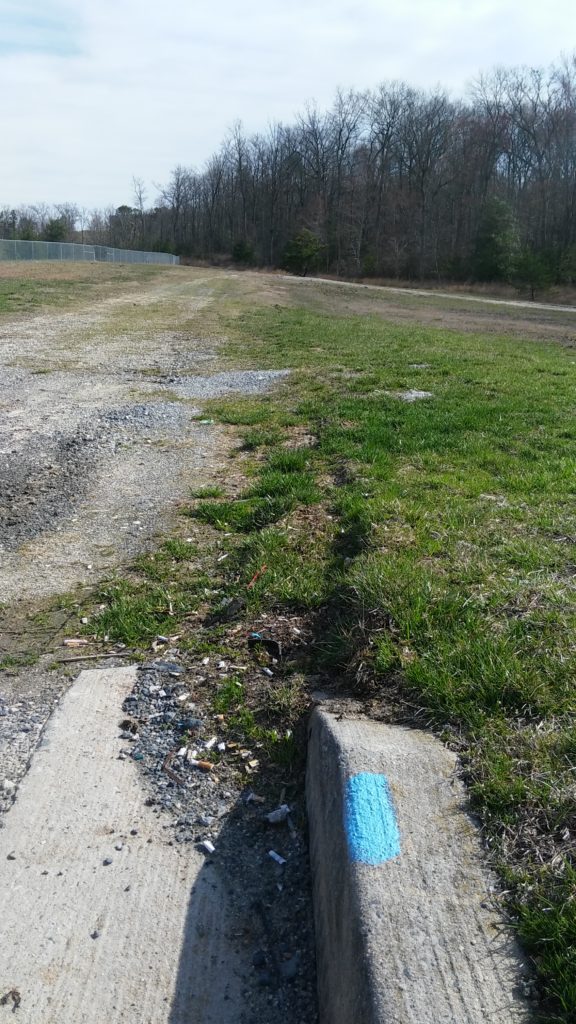
About a mile in, I lose the trail for the first time. This happened early on the last time I was out on the M-DT and I start thinking, oh no – here we go again. This time I was a little smarter. Instead of blindly picking a direction and going where I thought I should head, I backtracked to the last marker, turned around, and retraced my steps. After about a minute of reading the map and looking around, I realized the trail continued to the left across Roundhouse Dr on a paved path.
It’s in here that the trail has taken on a permanent detour down and around Stump Point. This is the dotted lines on the 2016 version of the maps that I have.
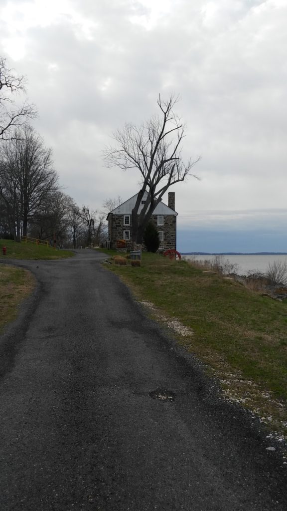
It was around here that I realized my pack was still moving around too much. Unfortunately, the wind was pretty brutal on the point so I pressed on a little while longer before stopping and cinching things up a bit tighter. I was also paying close attention to the blazes, which was lucky because without any warning (well, besides the status updates on the trail website) the trail just moseys off to the right.
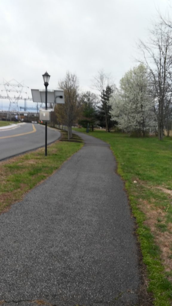
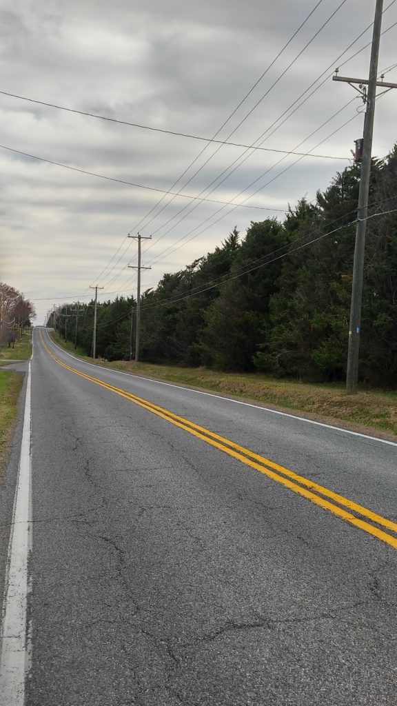
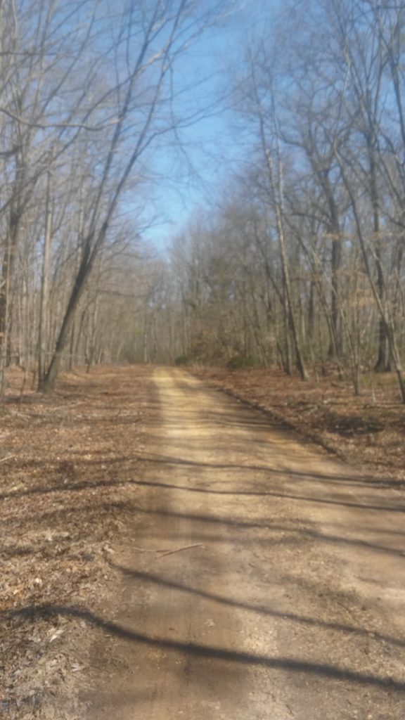
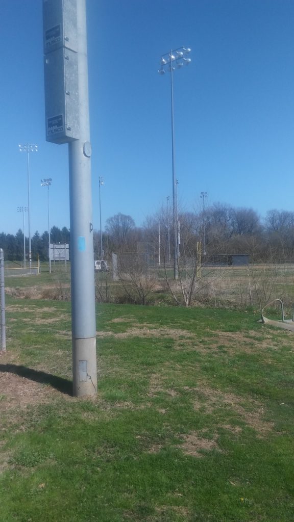
After this short section through the woods, you pop out onto roads for the next 3-4 miles. Most of this is on Route 7, which wasn’t too busy when I was out Saturday morning.
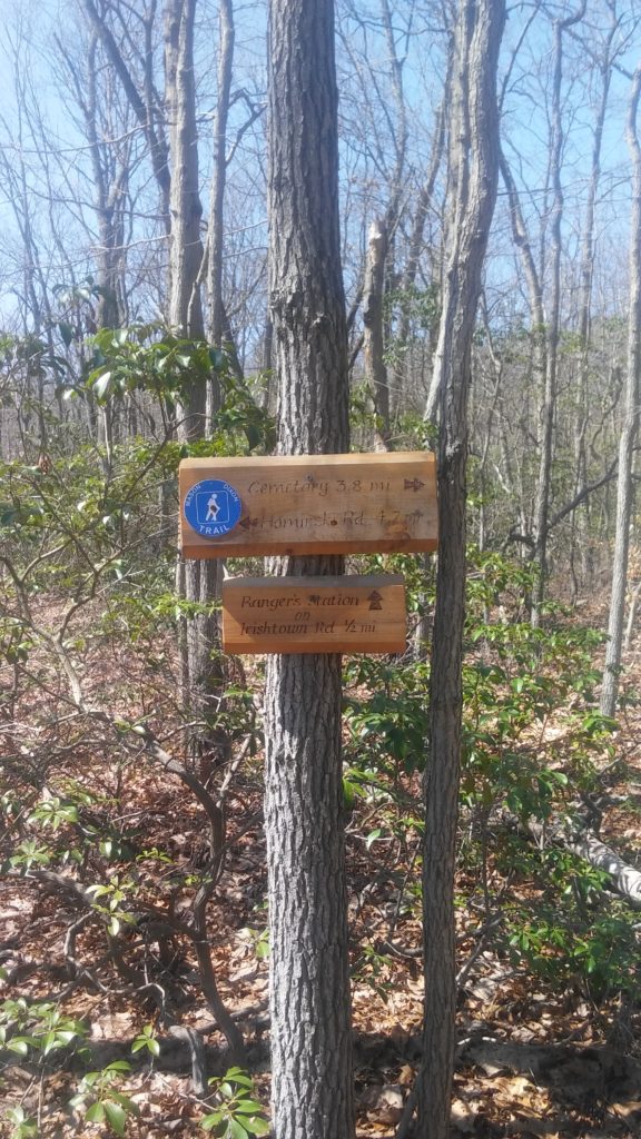
After crossing Route 40, the maps have it as a tenth of a mile to Logistics Way, however I measured it as almost half a mile. The section is well marked though so there’s not a a big risk of missing the turn.
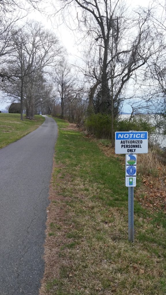
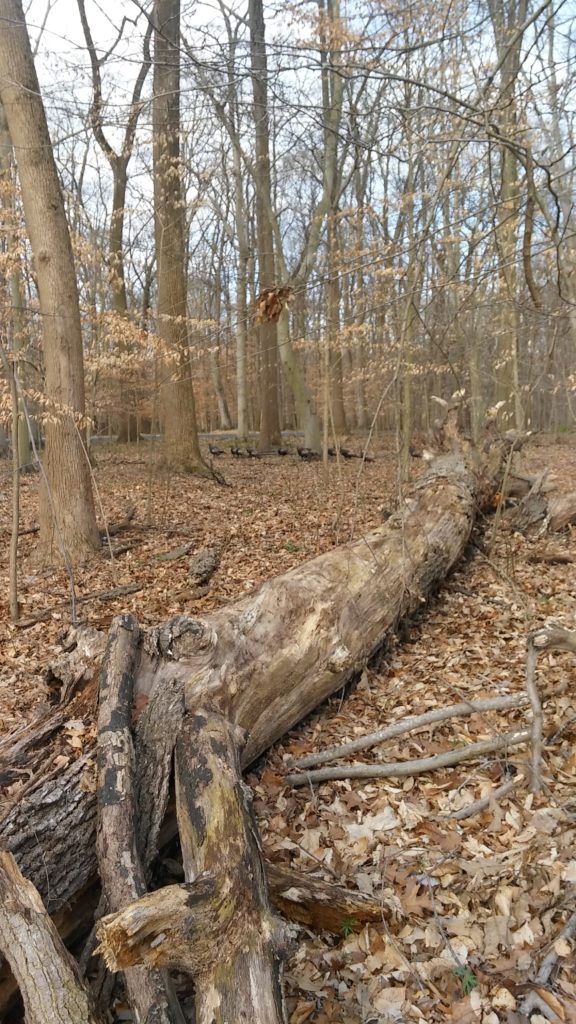
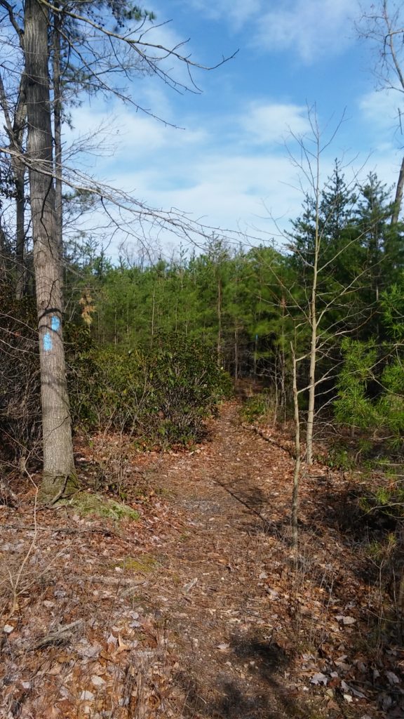
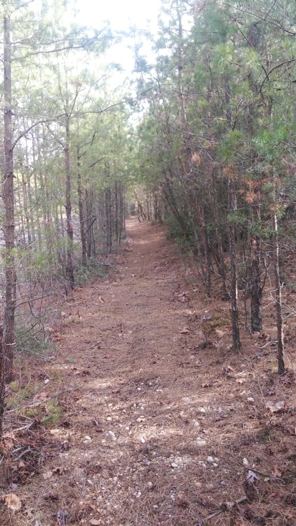
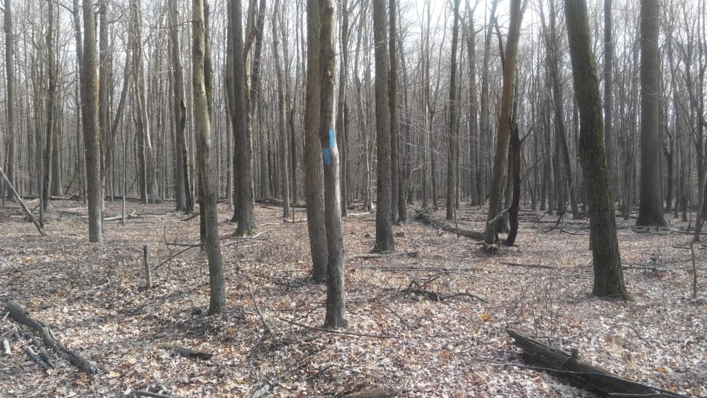
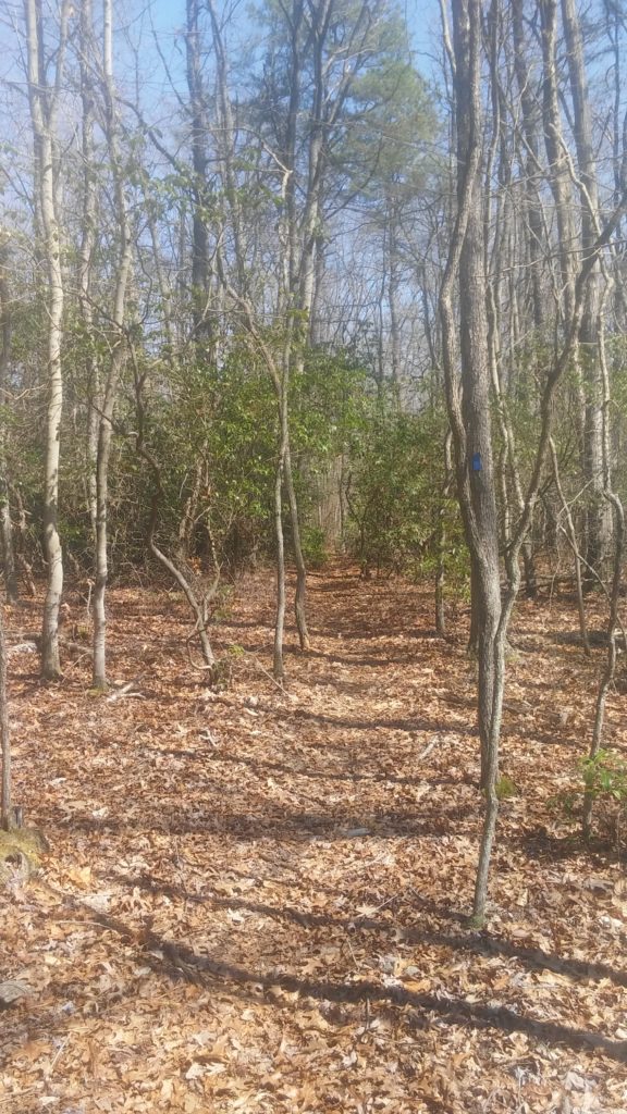
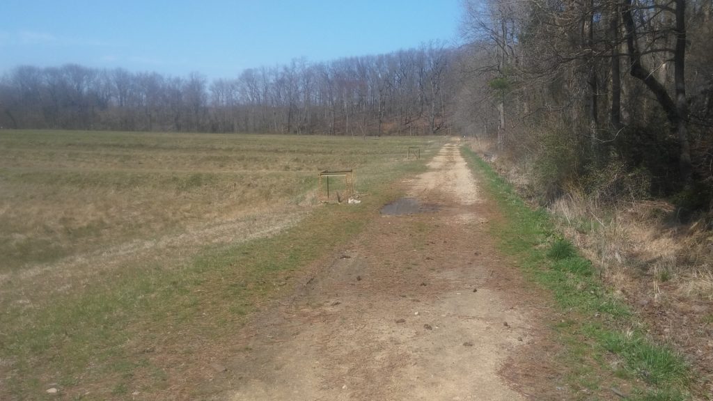
The next couple miles were my favorite of the day. I love running through pine trees and there were tons of that. The trails were exceptionally well maintained and marked. They looked relatively new and it was obvious that a lot of time and effort went into creating them.
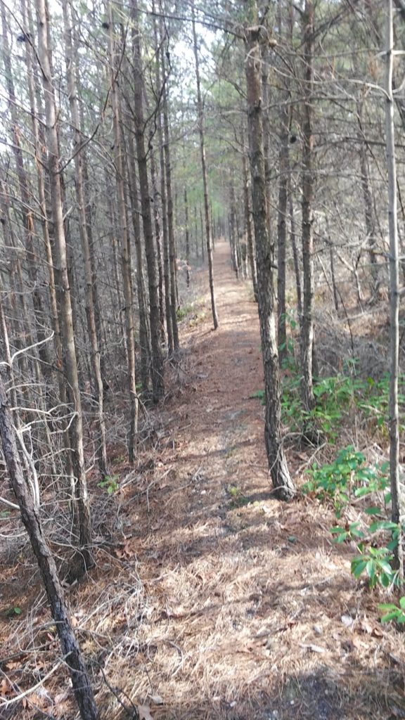
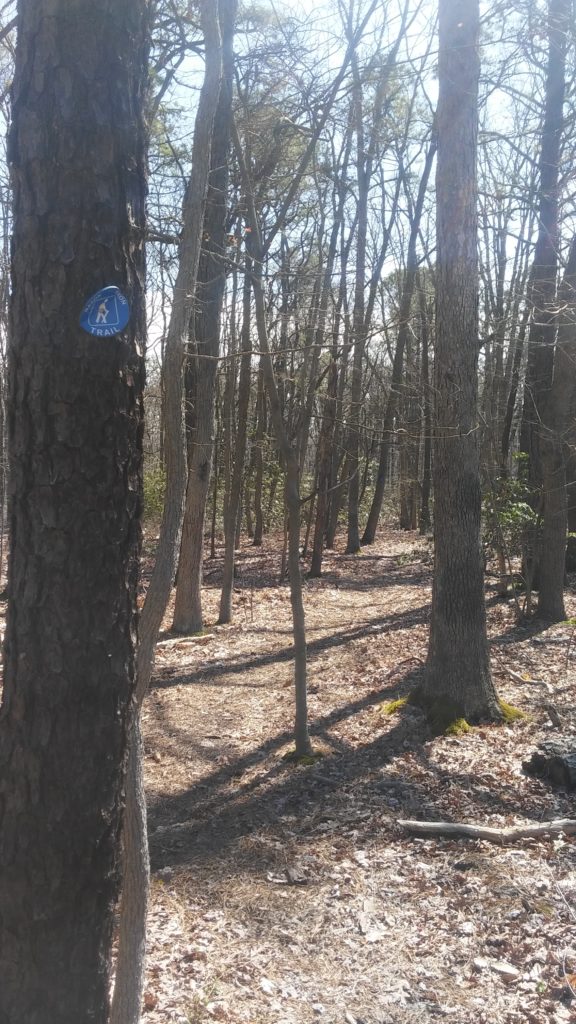
After about 1.5 miles, the M-DT turns right off the relatively wide well established trail that you’re following. The turn is well marked. The problem is there doesn’t seem to be a trail to follow. There are sections like this every now and again, however they’re typically not too difficult to navigate as they are over-blazed. You can usually see 3 if not 4 blazes showing you which way to go. After a couple seconds, I picked up the trail and off I went.
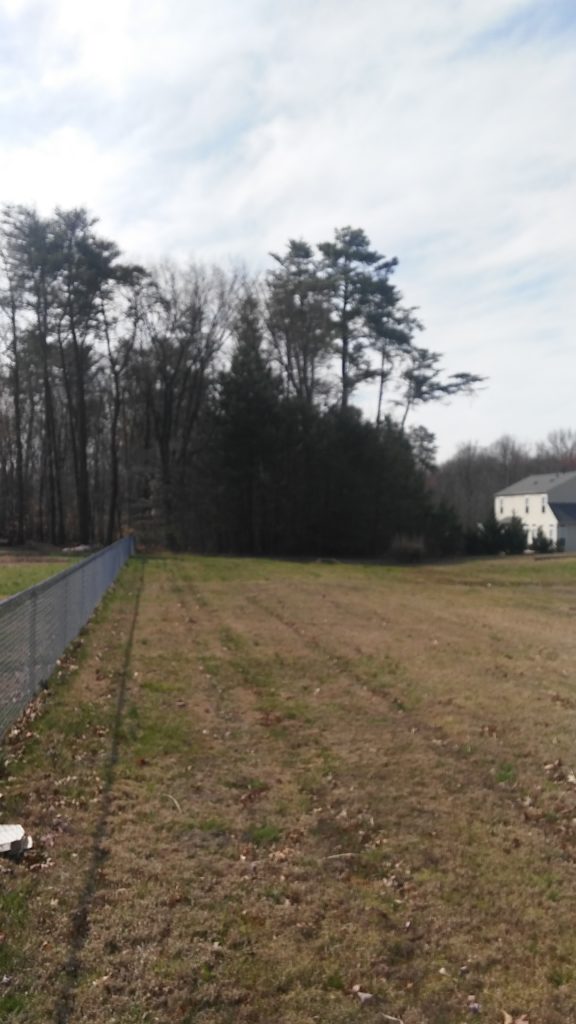
The trail ends at a sub-division. I was walking behind it wondering which of the houses I was supposed to walk between when I thought I had missed my turn as I hadn’t seen a blaze in a while. I turned around and saw a very faded blaze about 15 feet behind me. I turned around and ended up seeing the left turn no more than 10 feet farther on. Sigh.
You walk between 2 houses (always a very odd feeling on the M-DT) and turn right on Forge Court. At the end of this road is a cul-de-sac, where you once again walk between 2 houses hoping their owners don’t come flying outside yelling at you to get off their lawns. At the rear of their properties is a chain link fence which housed 3 very loud dogs, one of which had a muzzle on and was able to gets paws up on top of the fence. I got to the road and made a right on Red Toad Rd. (who names these streets?)
This is where the other reroute is located on this map. Instead of going across into the woods you continue down the road and make a left on Razor Strap Rd (seriously, who comes up with these?). I saw a couple blazes as I passed Northwoods Blvd (where the old route came out) and then completely missed the right turn onto Wells Camp Rd. I knew it was only about half a mile down, but somehow never noticed it. Luckily, Razor Strap runs into Route 40 so all I did was save myself from walking down a very busy road for half a mile.
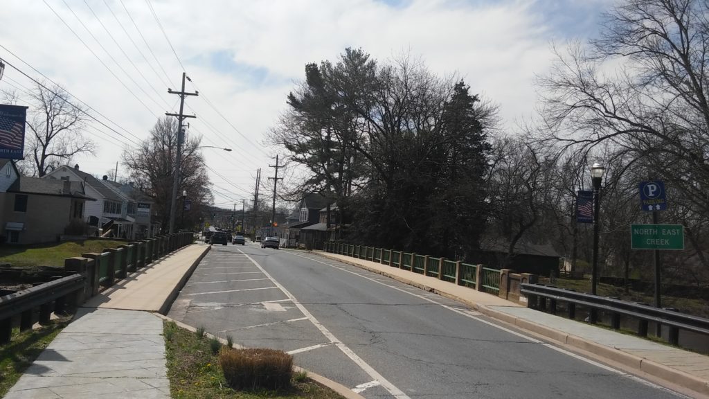
I made the right on Rt 272, crossed a bridge under construction over the railroad, then made the right onto Main Street. I noticed a blaze on the bridge right after I got onto Main St, however didn’t see any after that. I figured they were just on the other side from where I was walking and I wouldn’t have any problems making the left on Route 7. Um, wrong. Instead of turning after only 2 blocks, I went all the way through North East until it merged again with Rt 272. I knew I was off course, but went up Rt 272 as I knew the trail crossed over it. I’ve got my phone out searching for Cemetery and Rt 7 and eventually stumble my way up to Route 7. I make the right and immediately see like 15 blazes ahead of me. OK, maybe it was only three, but it seemed like a bazillion after not seeing any for a while.
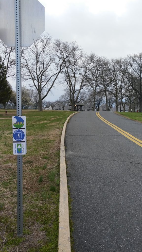
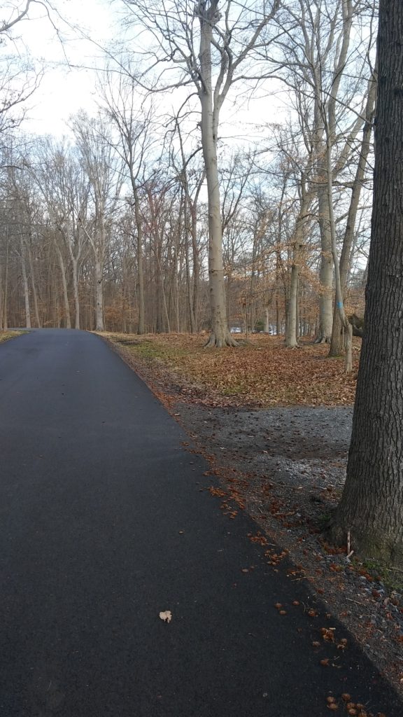
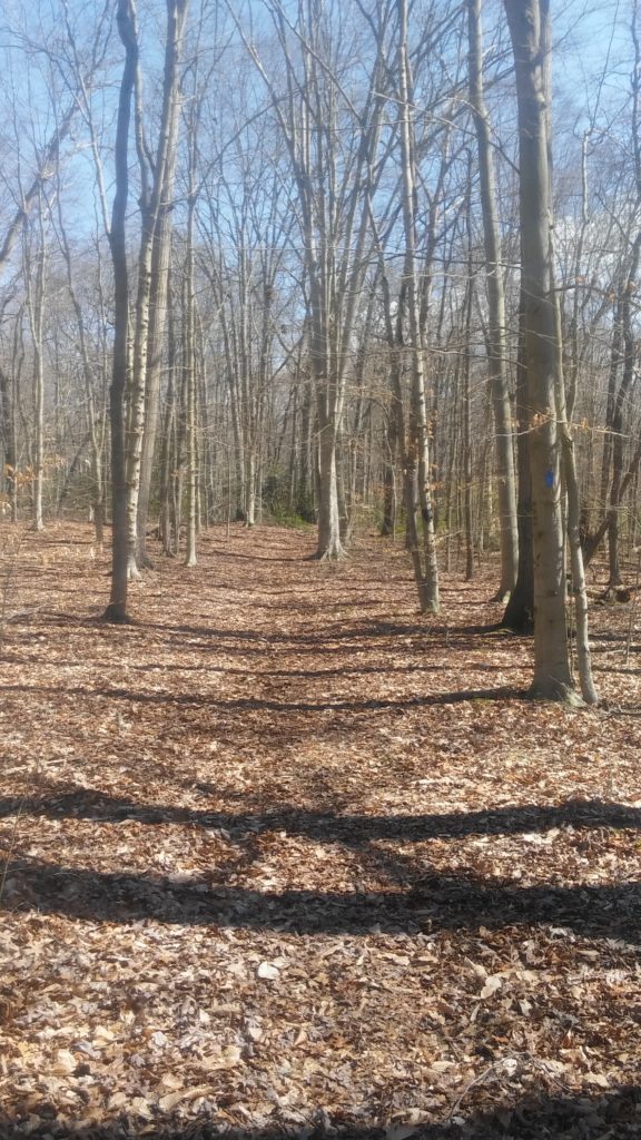
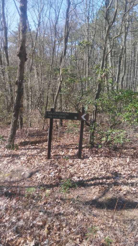
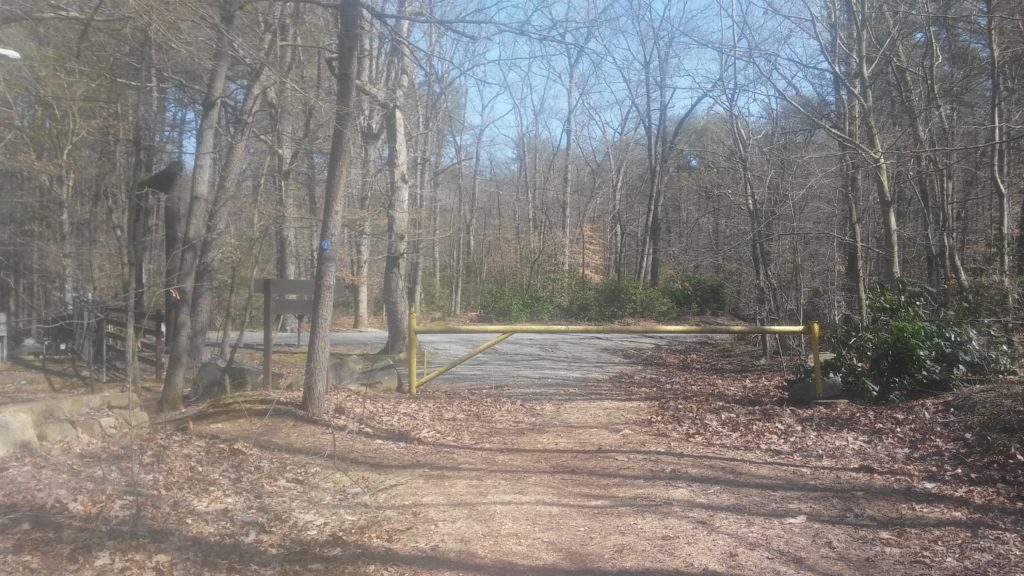
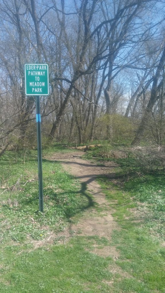
Overall, my detour only added about a mile to my trip. The right turn on Cemetery road ends map 7 heading east. I grabbed map 8 out of my pack along with an Ensure shake. I typically go with liquids for most of my calories during these runs (Coke, Ensure) and supplemented with a couple Clif Bars earlier on. Just up the road you make a left into the woods at the cemetery (obviously) and are on trails for the next 8 miles.
One of the things I like about the trail sections is that I can keep the maps in my pocket and just run blaze to blaze. It seems like when I get onto roads and the more suburban areas, I take the maps out more to follow the directions instead of just trusting the blazes. Probably an unconscious holdover from when we needed them to drive from one place to another.
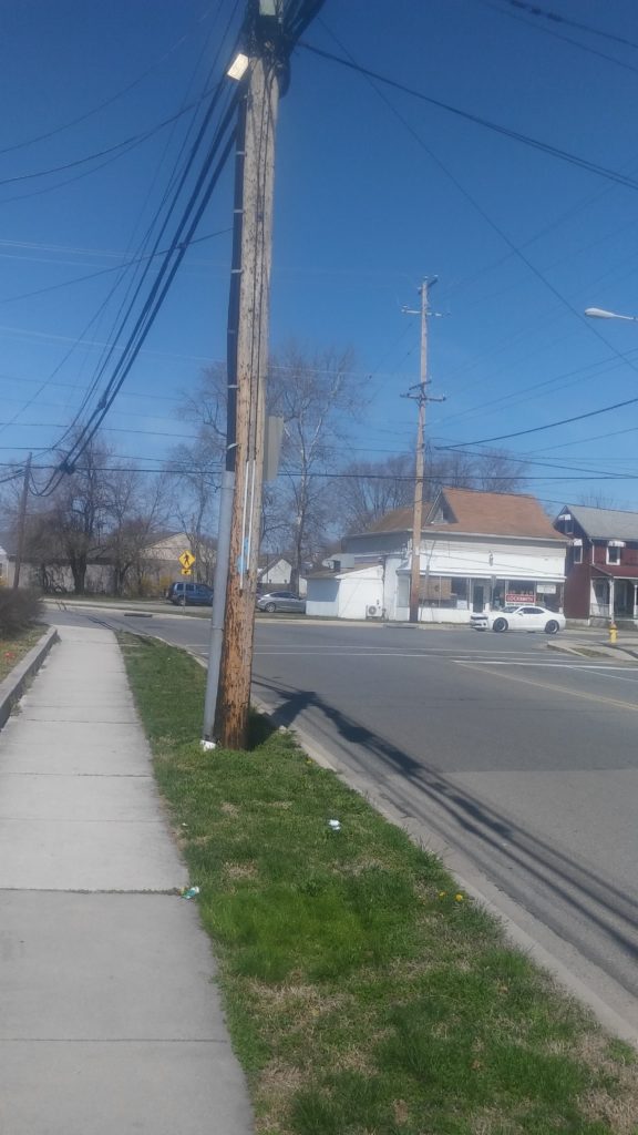
After leaving the parks, you’re on roads for next three miles until you get through Elkton. There’s a Wawa at the corner of Landing Lane and Route 40 in town if you need some snacks.
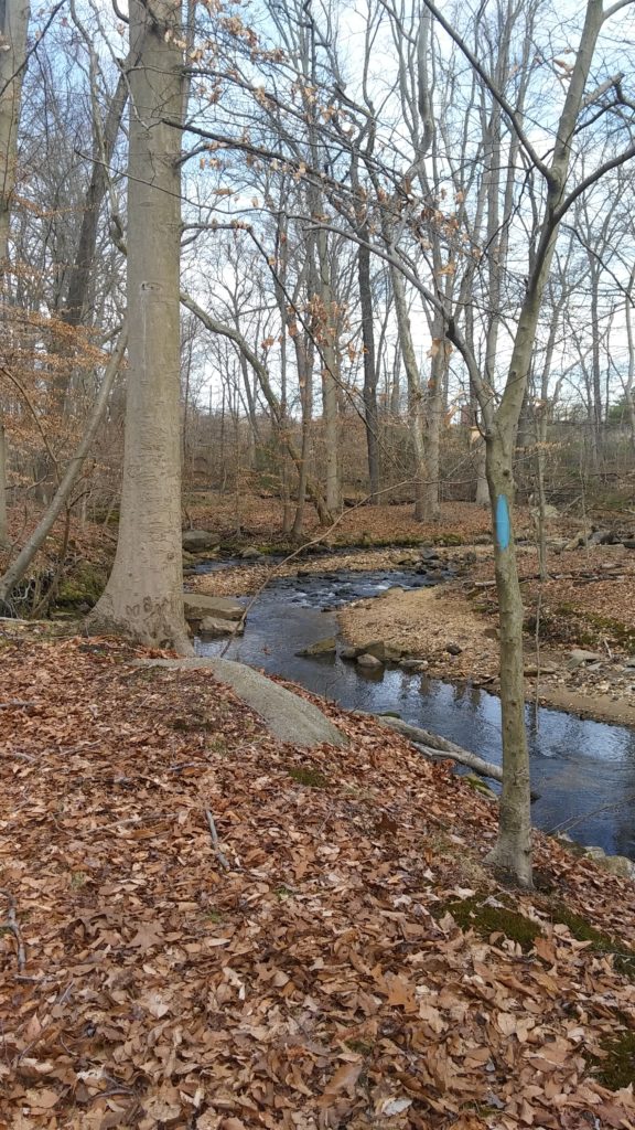
The map says you can take the paved path through the park, but since I had already gotten lost I stayed with the blazes next to the creek. I had some trouble finding my way once I got to Route 7 though as there weren’t any blazes on the other side of the road. I consulted the directions and made my way through the meadow to the park road off to the right where I picked the trail back up again.

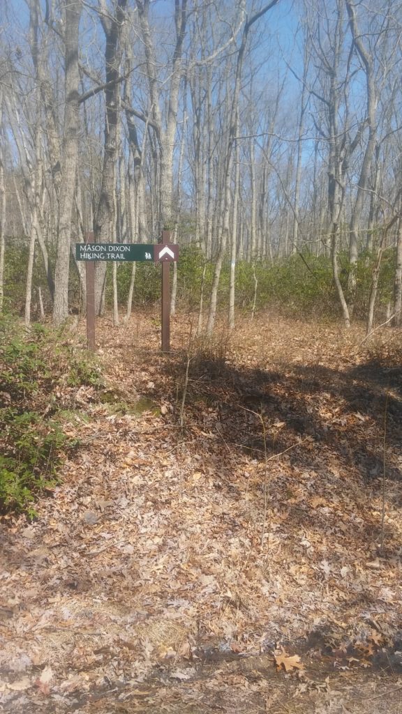
Just up ahead, you turn right into the woods. I got a little turned around right up the trail there as it looks like they’re rerouted it recently. And a tree with turn blazes had fallen over. Sigh. Eventually, I reached the housing development and made a left onto Melbourne Blvd (not right as listed in the maps).
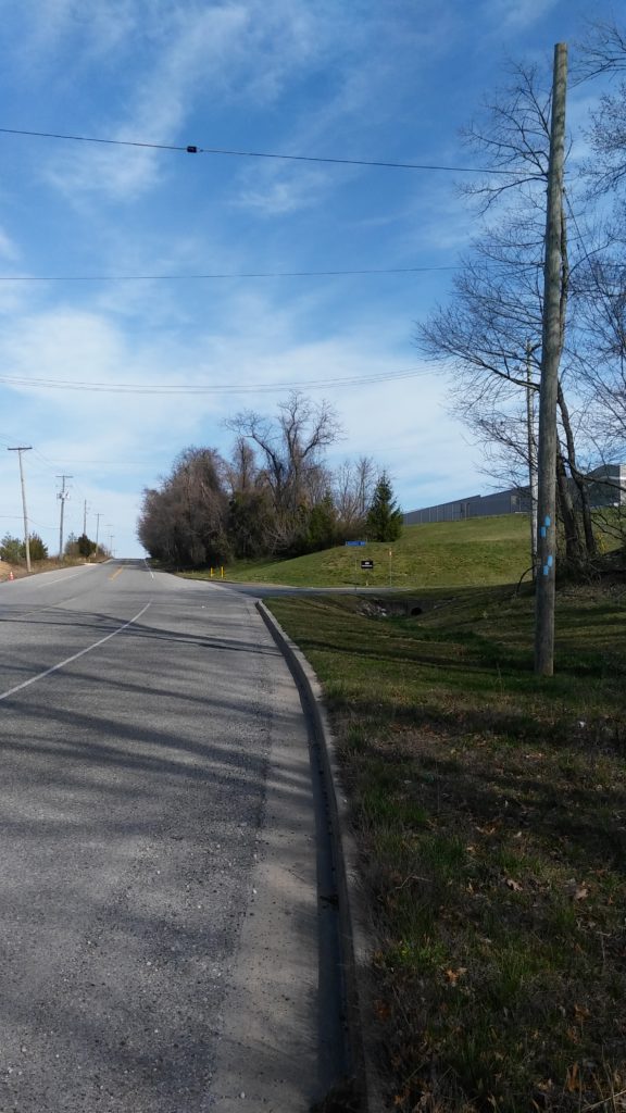
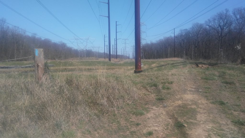
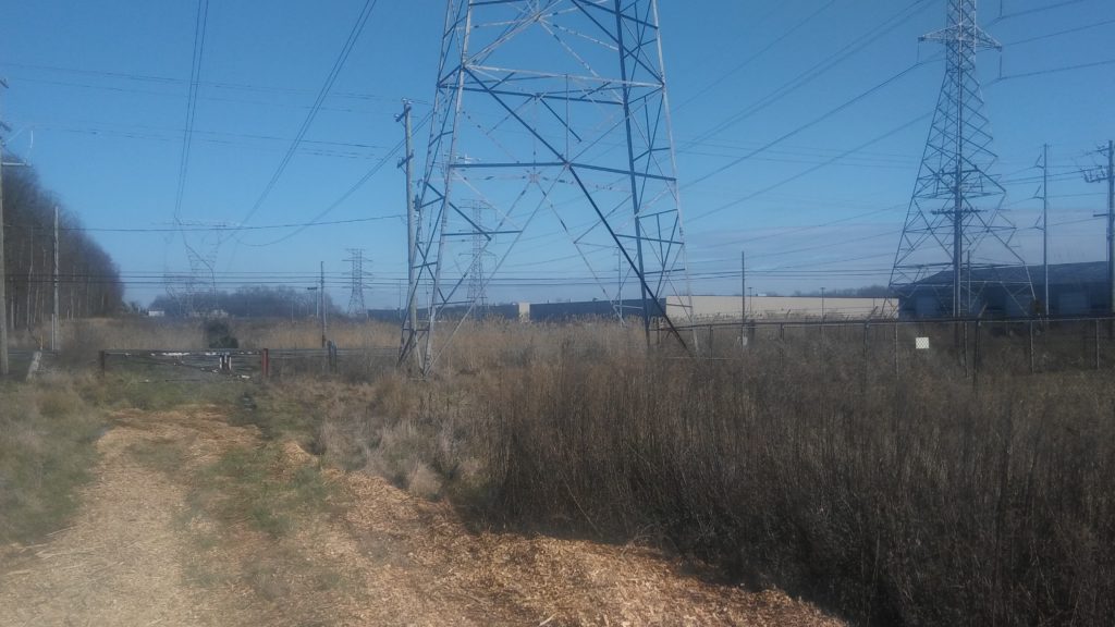
You make a left on Village and follow it down to Delancy. Then a quick right onto Wheelhouse Dr. Most of the way through this neighborhood you turn right on Tembray Ln (not Thatch Ct), which takes to you a substation.
I reached the road, turned right and my watch beeped 31 miles just as I walked up to the spot where I started Map 9 last summer. I found a nice spot to sit down and waited for my wife to come pick me up.
Overall, I had a wonderful time out on the trails last weekend. The more I get out and explore the M-DT, the more it fits with what I love about running long distances. The variety of terrain (roads, trails, parks, neighborhoods) always keeps things interesting. Next up – Map 6!