Seven years of dreaming. Five years of planning. Three failed attempts. One epic journey.
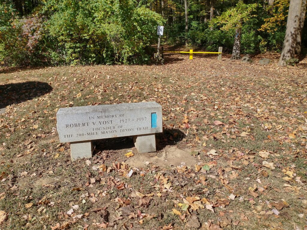
The Mason Dixon Trail (MDT) is a 207(ish) mile trail from Whiskey Spring on the Appalachian Trail to Chadds Ford, PA. I always think of it as 10 sections based on the trail maps (2016 version), which is how I’m structuring this trip report. If ten is too large a number for you, another good way to think about is in thirds: first 65 miles to Shanks Mare (easy), next 65 miles to Havre de Grace (very, very hard), and the final 65 miles to Chadds Ford (very easy). Quick disclaimer: the distances and elevation gains listed below are what I actually covered rather than the official distances. Not to give away a spoiler, but there were some bonus miles thrown in.
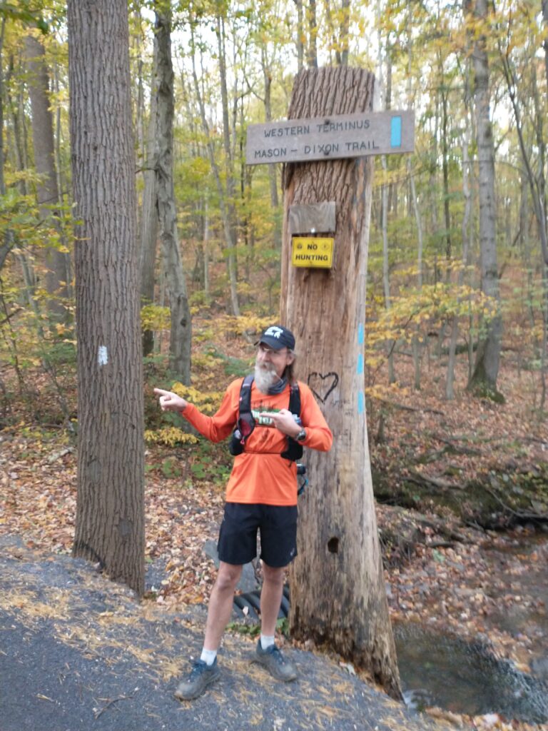
Map 1 – Whiskey Spring to Gifford Pinchot (17.1 miles, 3hr46min, 1,581ft, 13:12 section pace)
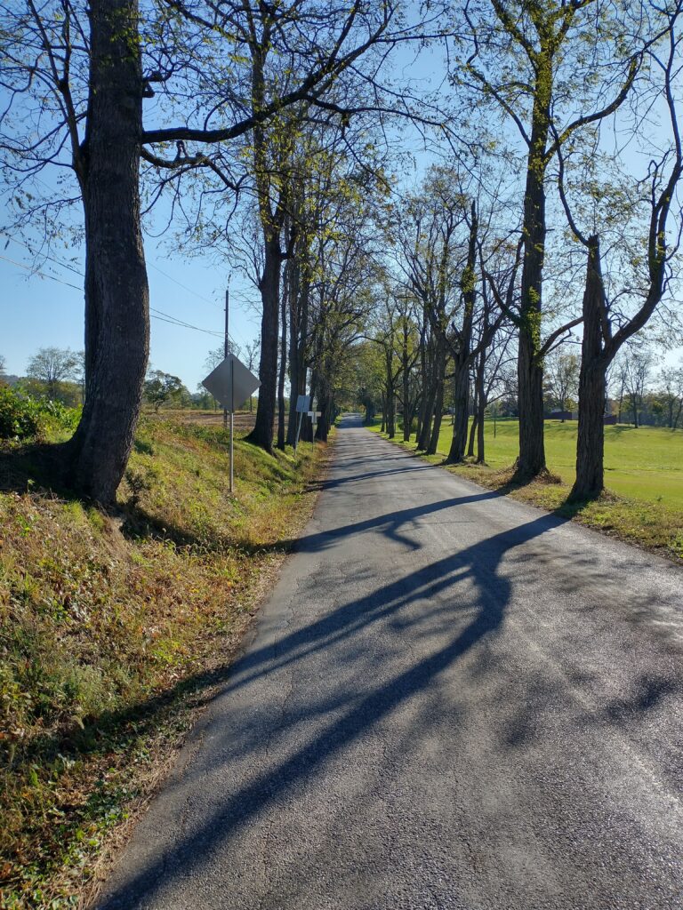
My goal with the first section was to not go out too fast. I had a pace target of 13 minutes/mile through 10 miles and after that the plan was to just go by feel. I was able to accomplish that, however the roads were a bit hillier than I remembered. You then hit a four mile stretch of trail with the sounds of a shooting range following you throughout most of it. Then there’s a couple more road miles before finishing up the first leg. At this point, I’m feeling really solid and excited as all of my unrealistic goals are still possible.
Map 2 – Gifford Pinchot to Wago Junction (23.0 miles, 5hr22min, 1,932ft, 14:00 section pace)
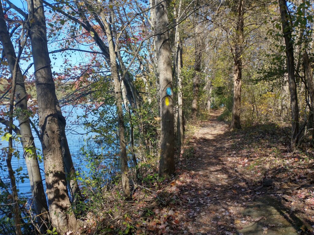
This map starts with a nice 7 mile section of trails around the lake at Gifford Pinchot State Park. They have a little up and down to them and are at worst very mildly technical. Not too bad, however enough to slow you down a bit. I topped up my fluids in the bathrooms a couple miles in. Overall, this is where things started to get real as my mind naturally started to drift forwards to the 90%+ left to cover. I was still mentally in a good place and moving from one landmark to the next.
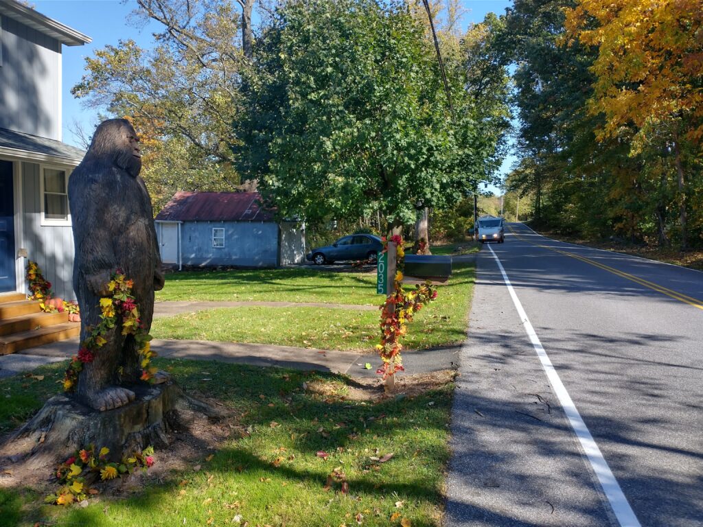
I was attempting this in a self supported fashion, which means I was able to pick up supplies (food, fluids, etc.) along the way, but only at publicly available spots. My first stop was the Rutters right before crossing over I-83 thirty-three miles in. I had 25 miles till my next store so checked the calorie cheat sheet taped to the back of my phone (1,300), spent about 5 minutes in the store getting a variety of flavors, and then was on my way again. Outside the opening miles in the park, the rest of this section is on roads. While I didn’t need it this time, there’s a pro shop at the Royal Manchester Golf Club right before the end if you need some emergency supplies during daylight hours.
Map 3 – Wago Junction to Trinity Church Rd (21.0 miles, 5hr26min, 2,393ft, 15:33 section pace)
This section starts out with four miles of very flat roads before climbing up to and through Susquehanna Riverlands SP. Every prior attempt at the MDT, I’ve had to turn on my headlamp here, however I still had a decent amount of light available so I kept cruising along. Hellam Hills Nature Preserve is just past here and the MDT added 3.5 miles of new trails earlier this year. While I can’t say I was 100% excited for the extra mileage (and climb), the new route is a nice improvement on the prior one. This was where I mentally decided to tap out on my last attempt so made sure to grab my MP3 player just in case I needed some motivation. I called my wife when I got down to River Rd to let her know I most definitely did not need a ride and then spent the next several miles into Wrightsville deciding what supplies I needed for the following 76 miles.
Yes, 76 miles.
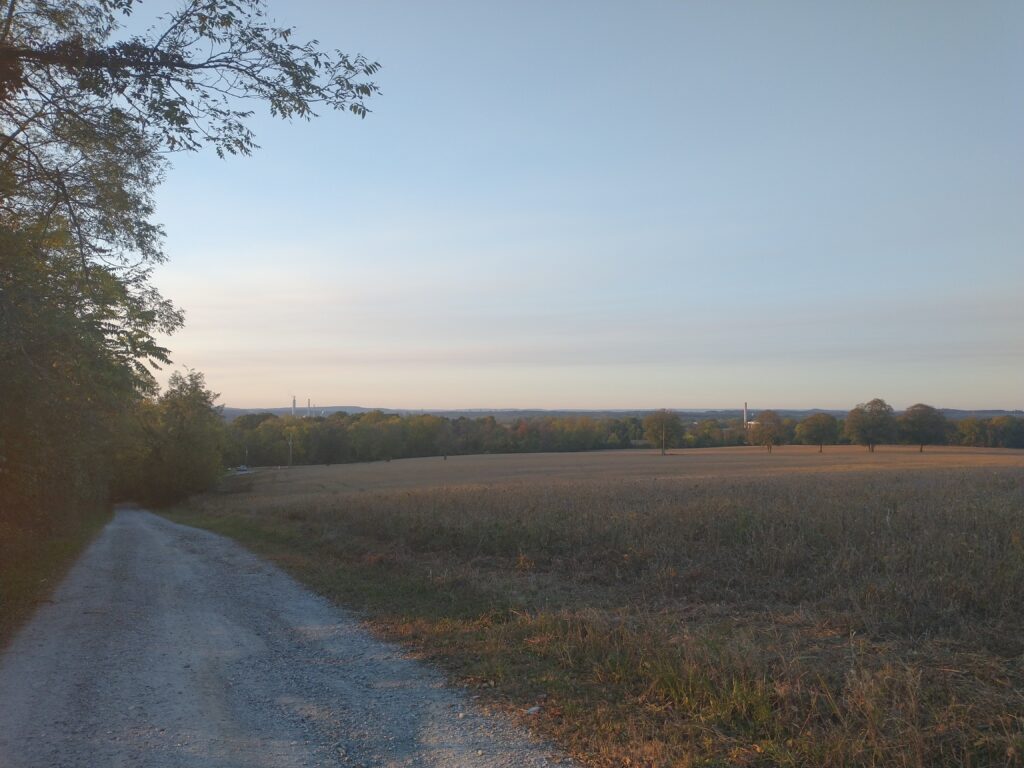
So the biggest challenge with a self supported MDT run is the dearth of stores on the western two-thirds of the course. Your options are I-83 (mile 33), Wrightsville (mile 58), and then nothing until Havre de Grace, MD (mile 134) unless you want to count a soda machine at Glen Cove (mile 118). The lack options means you not only have to carry more food and fluids, but that you also need to be smart about what you’re picking up. It’s bad when you run out of calories, however it’s equally bad when you can’t stomach (literally) the calories that you’re carrying. I spent a good 10 minutes in the Royal Farms about 5 blocks off course making sure I had what I needed. And then was off.
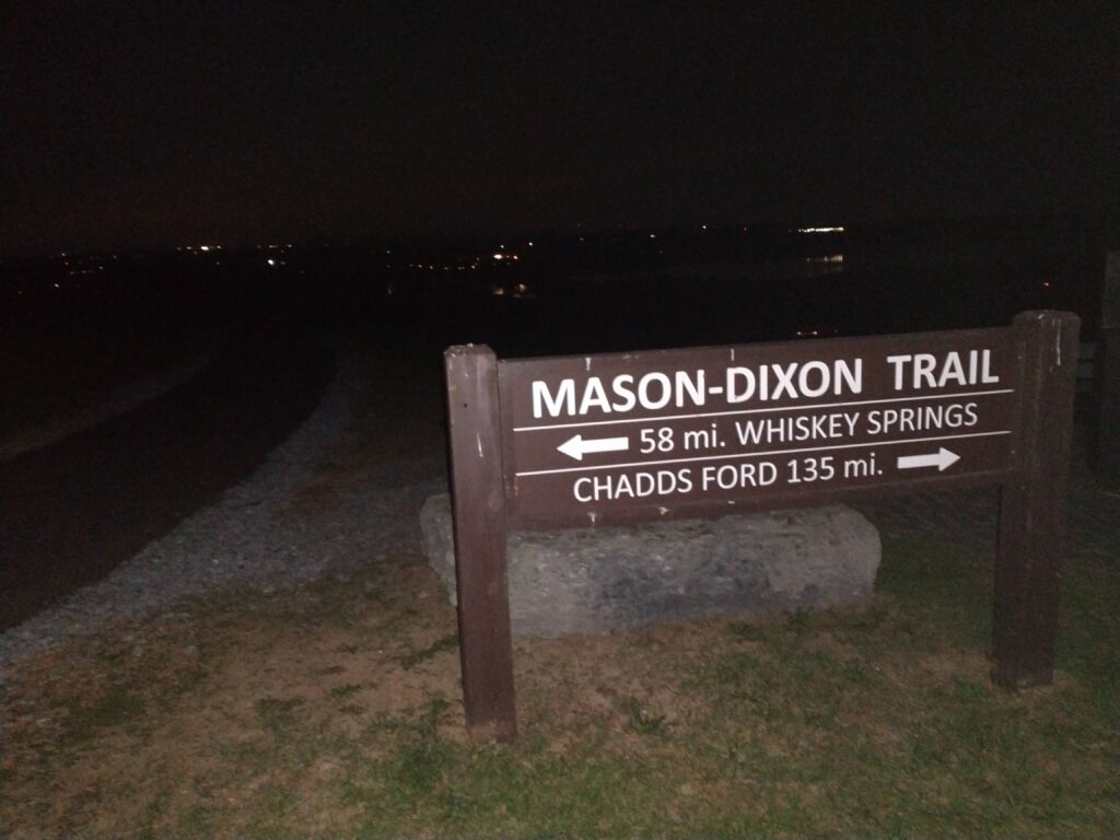
Just outside of town is a little nature preserve. I was climbing up the hill when I heard voices and saw a bunch of lights ahead of me. It was after 9pm by this point and I thought it just a bunch of liquored up teenagers out in the woods. Turns out it was Roxanne and Dave Strine leading a night KTA hike. It was nice to spend a minute chatting with them and their encouragement was great to receive heading into my first night. A couple miles later I topped out at “High Point” where the views are amazing during the day. Less so at night.
Map 4 – Trinity Church Rd to Otter Creek Campground (20.3 miles, 6hr58min, 4,410ft, 20:34 section pace)
A short road mile then short trail section next to some guy’s driveway takes you to Kline’s Run Park. I’ve run this three times before (once in daylight) and had never been able to find the exact route as the trees are fairly well spaced apart. I was completely shocked to actually nail it this time. The trick is that at the top of the hill there’s a jog left before the trail cuts back to the right to exit the park in the far corner. This gave me a nice little boost as I dropped down to the road and moved past Shank’s Mare Outfitters finishing up the easy portion of the MDT.
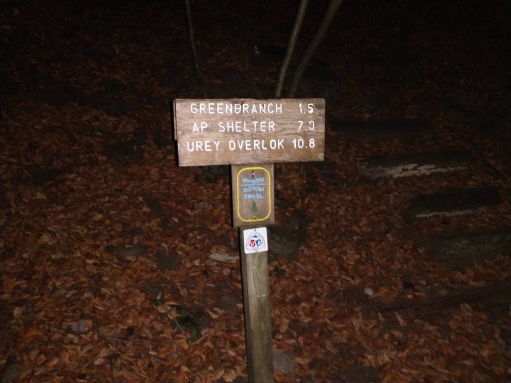
This section goes by a couple different names (some of them not printable), however I’m partial to the Four Sisters as it describes the number of climbs over the next seven miles. I’ve run a lot of trails up and down the east coast over the years and I believe this to be the hardest, most technical section of them all. It’s rock scramble up, followed by technical descents down. I quickly came up with the motto of Safety Over Speed for this section. I’ll never know whether my effort through here during my first two attempts contributed to my failures, however I wasn’t going to take any chances. I took an extra second or two to find good footing and tried to relax as much as possible. I had my newly created MDT playlist blasting on my MP3 player and my spirits were high.
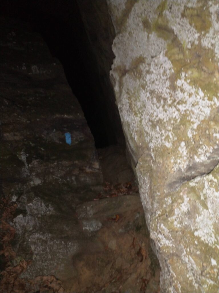
After the Four Sisters, there’s still a bunch of climbing, however the trails get a lot less technical. You even start to get back towards civilization. I reached Urey Overlook several hours before sunrise, which put me well ahead of my prior attempts (yay!). At some point, I realized I wasn’t drinking much despite carrying plenty of fluids. I was drinking to thirst and while the temperatures were cool, it didn’t account for only consuming about 50oz over seven hours. I noticed it was happening though and focused on upping my hydration going forward, which I was mostly successful with. I hit the restrooms at Otter Creek Campground to top up my bottles and then was finished with map 4.
Map 5 – Otter Creek to PA/MD State Line (33.3 miles, 9hr56min, 4,825ft, 17:54 section pace)
During hunting season (i.e. now), there’s a detour off the trails just past Otter Creek onto roads. I was looking forward to this reroute as I assumed that roads = flat. Yeah, not so much. After a flat mile, Indian Steps Rd made a right turn and then went up (317ft mile 2) and up (257ft mile 3) and up some more (161ft). A couple more road miles takes you to SGL 181 where there were already a couple vehicles in the lot before the sun had even risen (crazy hunters = crazy ultrarunners). There’s a nice downhill here and then a bunch of flattish trails until you reach the river.
It got light enough to turn my headlamp off and I’m climbing this large hill that I don’t remember when I reach a yellow gate. Just beyond the gate is a truck that looks familiar. Oh, no. Nonononononono. . . . I flip over to the map on my Garmin and sure enough I had gotten turned around and was heading the wrong direction. [expletives deleted] I couldn’t believe it. I was so mad at myself I started flying down the trail back the way I had come. What I needed was a little Bill Murray on my shoulder saying “Don’t run angry.” I passed the spot where I got turned around 1.4 miles later (so +2.8 total) and eventually reached the river. I had already scheduled a check-in call with my wife and tried not to unload on her too much as I didn’t want her worrying more than I knew she already was. Luckily, I was able to get my head squared away before I spiraled out of control.
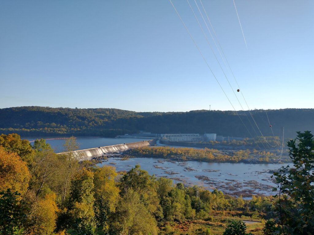
Map 5 is the longest at just over 30 miles. The highlights include:
- Holtwood Dam great views from above, but a massive climb that completely sucks,
- Peavine Island which I’ve found annoying on prior trips, but enjoyed this time,
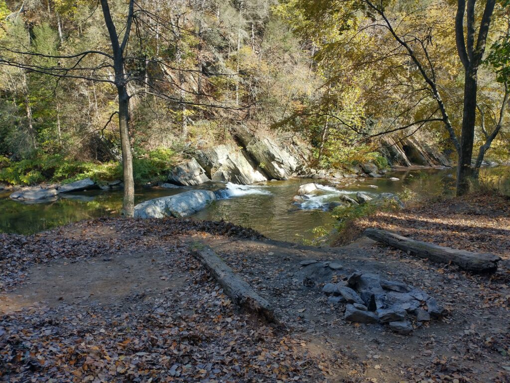
- Muddy Creek has perhaps my favorite section of trails on the entire MDT,
- Cold Cabin Rd – halfway point!
- Peach Bottom Power Plant (call 717-456-4212 ahead of time)
There are a couple small streams above Muddy Creek, which is where I refilled my bottles with the water filter I was carrying. Amazingly enough, this was the only time along the entire route that I had to filter water.
Map 6 – PA/MD State Line to Quarry Rd (23.6 miles, 7hr48min, 3,337ft, 19:49 section pace)
It took 114 miles, but I finally left PA! The first couple miles are on roads and then through a scout camp before reaching some trails that takes you back over to within site of the river. You then spend a number of miles alternating between trails and short road sections before you get to Glen Cove Marina. I was grabbing a couple sodas from the vending machine there when a guy (Ryan?) and his family pulls up asking if I’m Phil. Why yes, yes I am. I had sent out a link to track my progress to the Mason Dixon Longest Day email group as I thought some of them might enjoy following my progress. He was close so stopped out to offer some encouragement. While I was still rolling along pretty good, this boosted my spirits even higher.
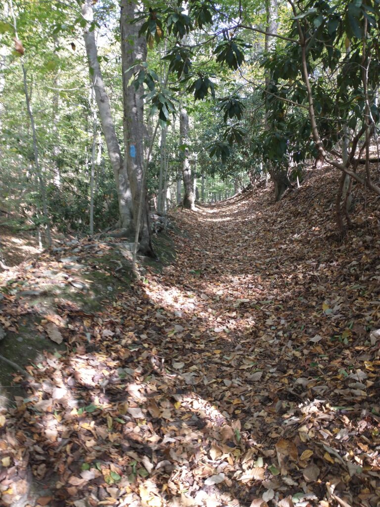
In the next couple miles, it started getting dark and a little cooler so I found a place to stop for a couple minutes to get ready for the night. I needed to grab my headlamp, swap batteries, get my jacket and gloves, and rearrange some food. Every twelve hours I was performing similar actions although in reverse during the mornings. Soon I was playing Frogger across Route 1 and navigating a short trail section before dropping down into Fisherman’s Park. It’s then a two mile pancake flat trail next to the river before you reach Susquehanna State Park.
Once I reached the park, my navigation issues started rearing their ugly head again. You pop out onto a road for a short stretch and then make a left into the woods, however I kept misjudging 0.2 miles so went forwards and backwards a couple times until I finally found the well marked entrance. This section also seemed to last longer than when I ran it during the MDLD, which should be obvious considering that was the very beginning of the race where I’m now quite deep into things. Eventually, I got down to the road which takes you to the second and last trail section in the park.
This is where frustration mounted on frustration. The trail map directions were to go up, make a right, and then a left. I went up, made the right, and. . . there was no left. I turned around and went left, however couldn’t see any markers so ended up turning around. I went farther the other direction, but still no left presented itself. Maybe I’m on the wrong section completely. I went all the way back to the road, however it was very clearly marked that this is the direction the MDT went. As I’m slowly hiking back up the hill, I’m trying to figure out what to do. Thankfully, my problem solving skills where still mildly functional so I pulled out my phone, fired up the AllTrails app, found the trail I was on and determined that staying to the left would eventually get me down to Lapidum Rd. And sure enough, about ten minutes later I saw an MDT marker confirming I was indeed heading the right direction.
Just after you pass over I-95 on Lapidum, you make a left into the Vulcan Quarry property. This is a cool addition to the MDT over the past couple years as it replaces a couple road miles with trails. There’s another new reroute around an ambulance property and then you’re done with this map.
Map 7 – Quarry Rd to Northeast MD (22.2 miles, 7hr19min, 1,156ft, 19:45 section pace)
I think part of my frustration with getting turned round and around (and around) in the prior map was that my wife had been waiting several hours for me already at the Royal Farms on Rt 40 two miles miles into this map. The bridge across the Susquehanna River to Perryville is not pedestrian accessible so you need to get a ride across somehow. Reaching this store and seeing a friendly face was one of the highlights of the trip for me. While it seemed like I spent 30 minutes restocking and getting ready for the final third, in reality I was only in there for about 10 minutes. I walked across the street to where the MDT ends in Havre de Grace, hopped into the car, and enjoyed a quick couple bonus miles.
At this point, it’s about midnight on my second night running. I had expected to start napping once it got dark, but I had been rolling pretty well up to this point. I was thinking of starting to take periodic 10-20 minute naps, however Perry Point is right by the water and it was a bit brisk out. I thought it’d be a little warmer once I got over to the 2.5 mile stretch on Rt 7. Yeah, not so much. Rt 7 was like a wind tunnel and while I had a space blanket available to keep me warm if necessary, the cool temperatures were doing a good job keeping me awake. I thought the stretch of trail the other side of Rt 40 would be a better place anyways since it’s through a bunch of pine trees and very secluded. Well, I had a hard time finding the entrance to the trail behind the industrial complex and my frustration with staying on course fired me up enough to keep me moving once I finally found it.
About 4am, the combination of a relatively warmer section and me getting a little drowsy had me sit down next to a tree for a nap. Ten minutes later I woke up and felt a little cold so decided to press onwards. Several more miles brought me out of the woods and into North East, MD. I walked into the Sunoco at the corner of Rts 40 and 272, made a beeline for the restroom, locked the door and zonked out for 20 minutes. I woke up feeling quite refreshed, grabbed some snacks, hot chocolate (hot bottle trick for the win), and headed back out for day #3. Of course, I missed the left turn off Rt 272 (again!) as I was fiddling with recharging my Garmin but realized my mistake after a couple extra blocks.
Map 8 – Northeast MD to Pleasant Valley Rd, DE (17.3 miles, 5hr27min, 1,078ft, 18:54 section pace)
Just past the cemetery you make a left and turn into the woods and spend the next 8+ miles traversing Elk Neck State Forest. I had been periodically maxing out my headlamp brightness during the night to stay on course and by now my light was starting to dim. It only had to last another hour or so and I finally hit some navigation luck. The trails through Elk Neck were completely cleared. And by completely cleared, I mean someone within the past day had come through with a leaf blower and removed every leaf, twig, and pebble from the trail. It was impossible to get lost as I moved through the definition of buff singletrack.
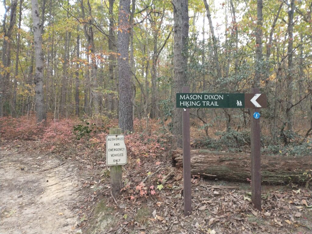
Not too long after the sun came up, I tripped on a rock, pitched forward in my best Superman pose, windmilled my arms a bit, yet somehow didn’t fall down. Shockingly, I had managed to make it this far without hitting the dirt (which I have a history of doing) and patted myself on the back for still having some coordination left. So of course, not even 30 minutes later the same thing occurred with the only difference being I wasn’t able to record the save. Sigh.
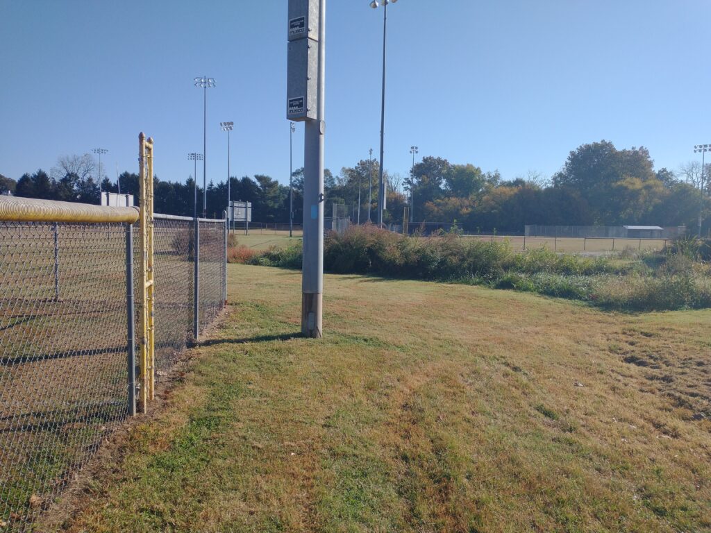
Eventually, you pop out of the woods where you have a couple road miles till you get to Elkton, MD. I topped up my hydration and foods at the Wawa on the corner of Landing Lane and Rt 40. It’s then a short stretch through town followed by a couple miles through neighborhoods before you reach the end of this map. The very end now has a detour off the power line trail due to a homeowner dispute, but what’s a couple extra miles has now become my motto.
Map 9 – Pleasant Valley Rd, DE to London Tract Rd (24.0 miles, 7hr36min, 1,048ft, 18:56 section pace)
I reached this point about 11:30am Sunday or 52 hours and 178 miles into my journey. I walked up along the industrial park, started down the power line trail, made a right turn, and then completely lost my mind. I really have no other explanation for what happened next. I had a problem finding the path through the woods when I reconned the route initially so just assumed I wouldn’t be able to find it again. I turned into the woods too soon, spent some time stumbling around looking for blue blazes (didn’t find them), pulled up Google Maps on my phone and bushwhacked my way through to the neighborhood. Once there, I made my way to the playground on Four Seasons Pkwy, found the trail, then followed it back to the power line where I got off trail. So frustrating. Thankfully, my exhaustion level was high enough that I didn’t need a mini-Bill Murray on my shoulder this time as running was pretty much out of the question.
A couple miles later as I’m crossing over I-95, a guy standing on the sidewalk asked me where I was coming from. I just shook my head and said “back that way” as I really didn’t feel like having that conversation right then.
This map has a little over 5 miles along the Christiana River. It’s flat, it’s picturesque, and it felt like it lasted forever. It’s a shame because while I was able to enjoy the scenery, I was quickly reaching the point where I just wanted to get this done. Fine. I had reached that point earlier, but had been trying to stay in the moment and not think too far ahead.
I stopped into the Rite Aid at 896 and Freemont for more supplies. The store must have been going out of business because the coolers and candy aisles where sparsely populated. I was also forced to buy 8 AA batteries instead of only the four I needed. I didn’t feel like crossing the street to the Food Lion so made due the best I could.
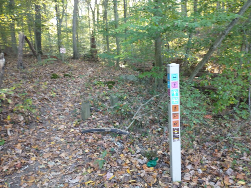
Then there’s a short trail and road section that takes you to White Clay Creek State Park where you have 10 uninterrupted miles of tails to close out this map. Given my navigational challenges, I was mildly concerned about how many bonus miles I was going to add in here. The trails are very well marked, however only at trail intersections. There are zero confidence blazes as you go along. Needless to say, I was hyper vigilant every time I made a turn. I would look at the post, make the turn, and then look back at the post to make sure the turn was the direction I had just come from. Many times I would take 30 seconds and repeat this process. I was a couple miles out from the end when it got dark enough that I needed to break out my headlamp and gear up for night.
Map 10 – London Tract Rd to Chadds Ford, PA (17.5 miles, 5hr56min, 1,572ft, 20:24 section pace)
One map left. One short map entirely populated by roads except the last 2.7 miles. I was looking forward to a bunch of flat road miles, however I forgot my Indian Steps lesson that not all roads are flat. The first couple miles are a steady grind up. It’s only 100-150 feet per mile, but it felt like a mountain. Steve pulled up and offered some much needed encouragement as I made my way through a housing development. I had misjudged the distances a bit and ran out of fluids a couple miles before the Wawa on Rt 41. Nothing too major, more a minor annoyance than anything else at this point.
There’s a detour about 7 miles in. It was well marked, however I couldn’t find the Lower Snuff Mill road sign as I exited the small local park so fired up Google Maps again to help me out. There’s a big climb up Nine Gates Rd next to some monstrous mansions. I’m finally starting to get a little drowsy, but there’s no way I’m stopping short of the end now. I remember grinding up Fairville straining my ears listening for traffic on Rt 52 when I paused and put my head down on my hiking poles (so tired). Just for a couple seconds. I could feel my energy just slowly bleeding away into the night, but I was close. So, so close. Only a little further now.
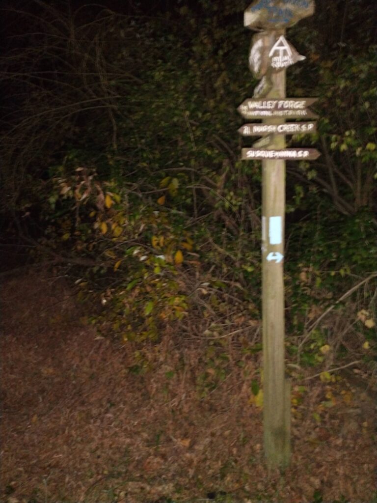
I called my wife after crossing Rt 52, which is four miles from the finish or about 90 minutes with the speed I was moving. I made the right on Cossart and the 1.2 miles down the last section of road seemed to last forever. The property on the left has this fence and it just went on and on and on. I heaved a deep sigh of relief as I found the turn and began navigating my way through the trails. I only got off track once when I turned left instead of going straight, but realized my mistake within a couple hundred yards when I dropped down into someone’s backyard. The small gate right before the RR crossing on Fairville was a blessed sight as there’s less than a half mile of meadows till the finish. I reached the terminus just after 1am with a total time of sixty five hours, 36 minutes, and 36 seconds (65:36:36).
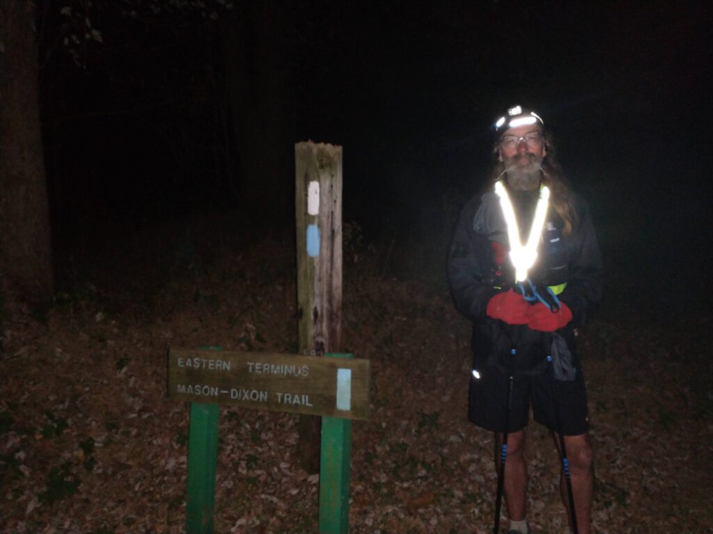
I had my wife bring a chair so I could hang out at the end for a spell. I had given a lot of thought as to what this moment would be like, and it was nothing like I had imagined. There was no celebration. I wasn’t pumped. Wasn’t happy. Nor proud. Or satisfied. Heck, I was barely verbal at this point. Now all those feelings and emotions would come in time, but right then and there I was an empty husk. Completely and utterly drained.
And it was glorious.

When you are ready we will celebrate with you
I’ll take you up on that!
Loved reading this! Congratulations! It’s nice to have the section from Shanks Mare to Susquehanna Park confirmed as being “rugged”.
Thanks! It’s far beyond rugged. Haha.
Nice work Philip! Glad to catch you on my way home from work
Thanks. Really appreciated the encouragement!
Nice work! Thanks for the detailed write up!!
Thanks!
Philip,
Great report. I was with you and feeling exhausted through the descriptions of the course that I have been on from the MDLD, which I have yet to finish in one day. It’s a tricky course to navigate, but you never get bored. The scenery and trail surfaces are constantly evolving as you move along. Congratulations.
Ben Wickham
Ben, exactly. The variety of the route is what really drew me to the MDT.
So cool Phil. There’s nothing like that “empty husk” feeling.. particularly attached to self directed adventures. This was definitely a special one- congrats!
Congratulations Phil! What an awesome accomplishment! Great write-up. Must have been so pretty to run there this time of the year. You made excellent time running the most challenging section at night. Impressive. Again congratulations!
Thanks! Absolutely gorgeous time of year to be out on the MDT. Perfect weather was an added bonus. I’d highly recommend October as the best month to be out on the trail.