My family spent a week in Gatlinburg, TN and we ended up hitting most of the trails closest to town. If you missed it, here’s Part 1 of our trip.
Day 4, Wednesday
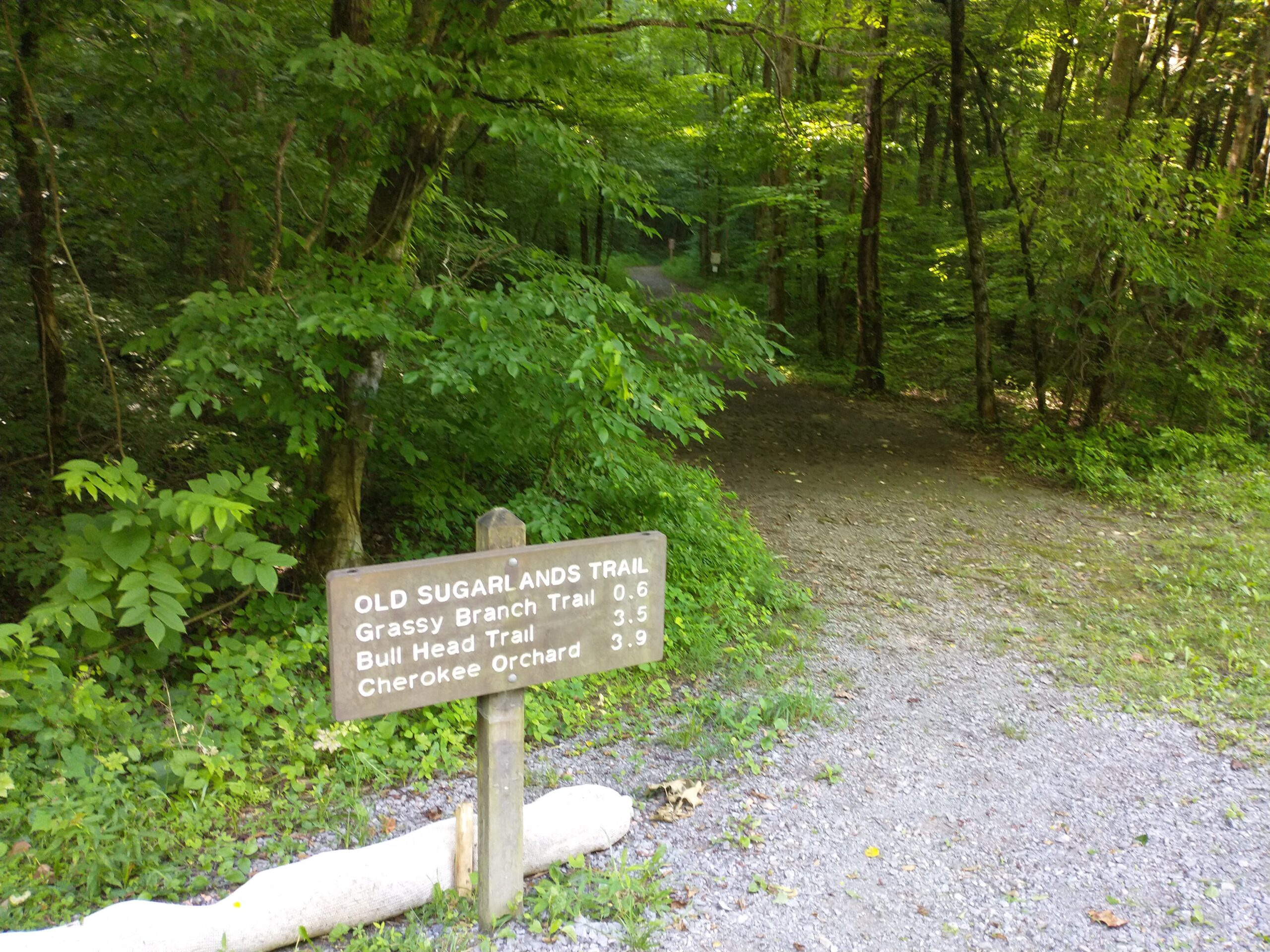
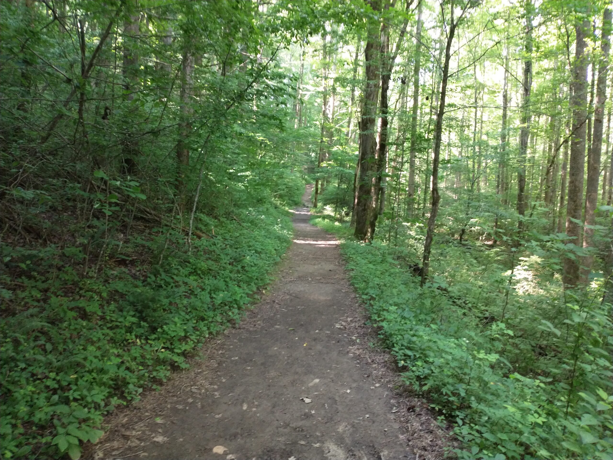
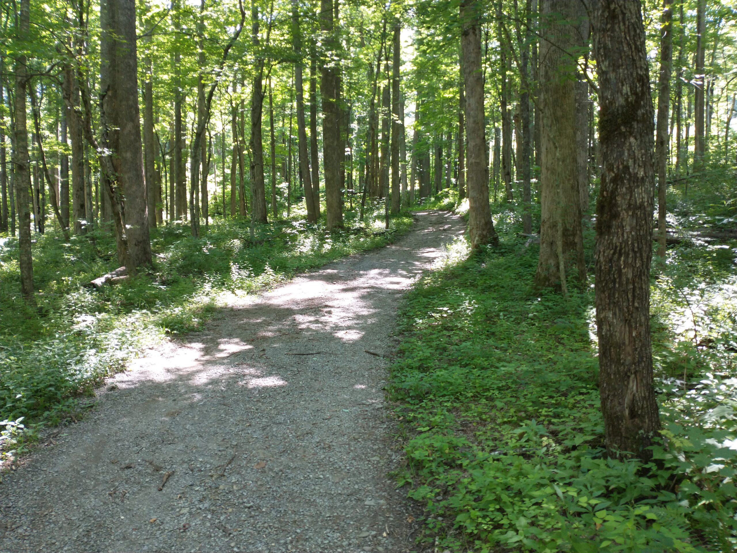
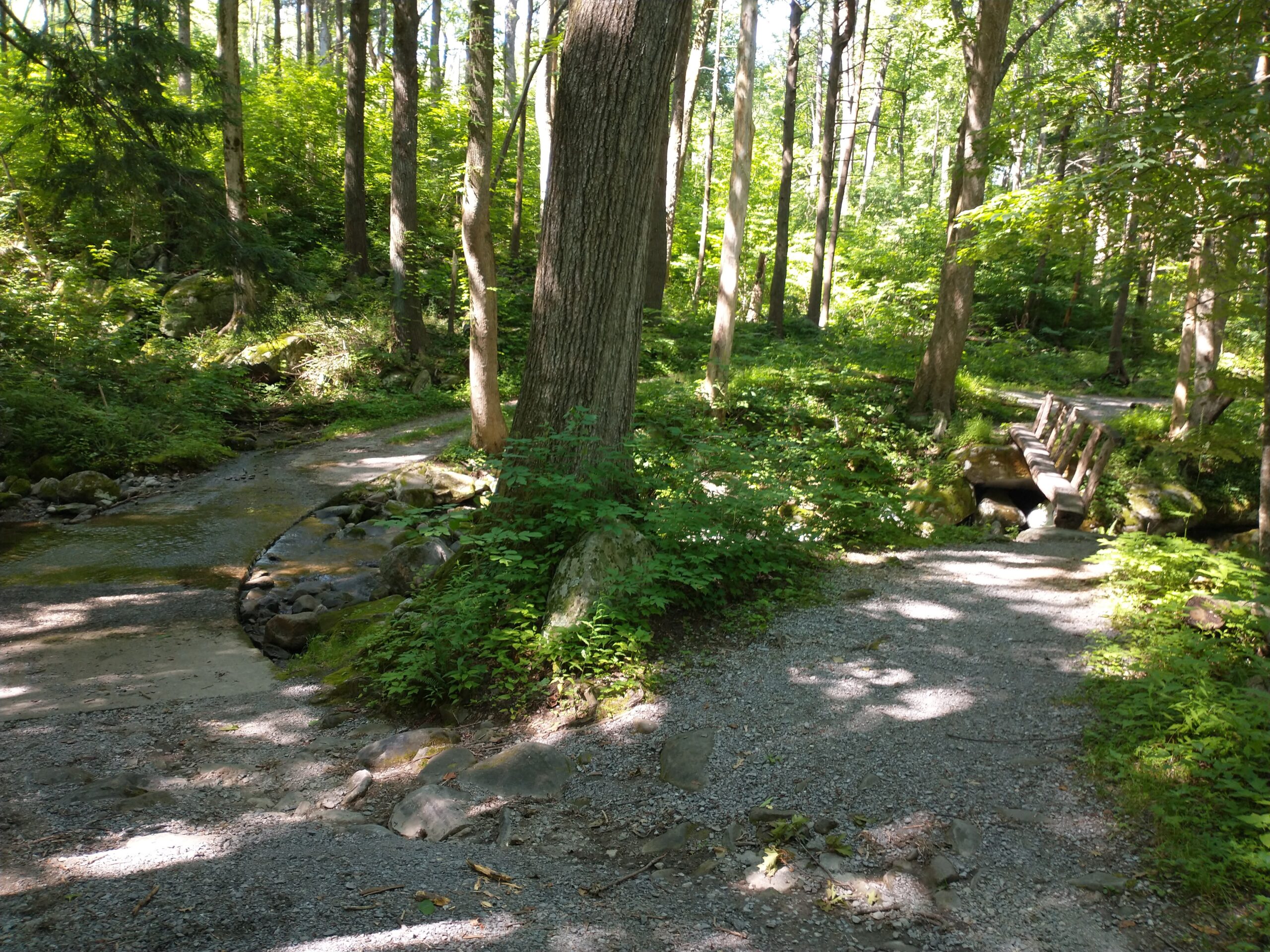
Old Sugarlands Trail (Running) – 7.7 miles
Day 5, Thursday
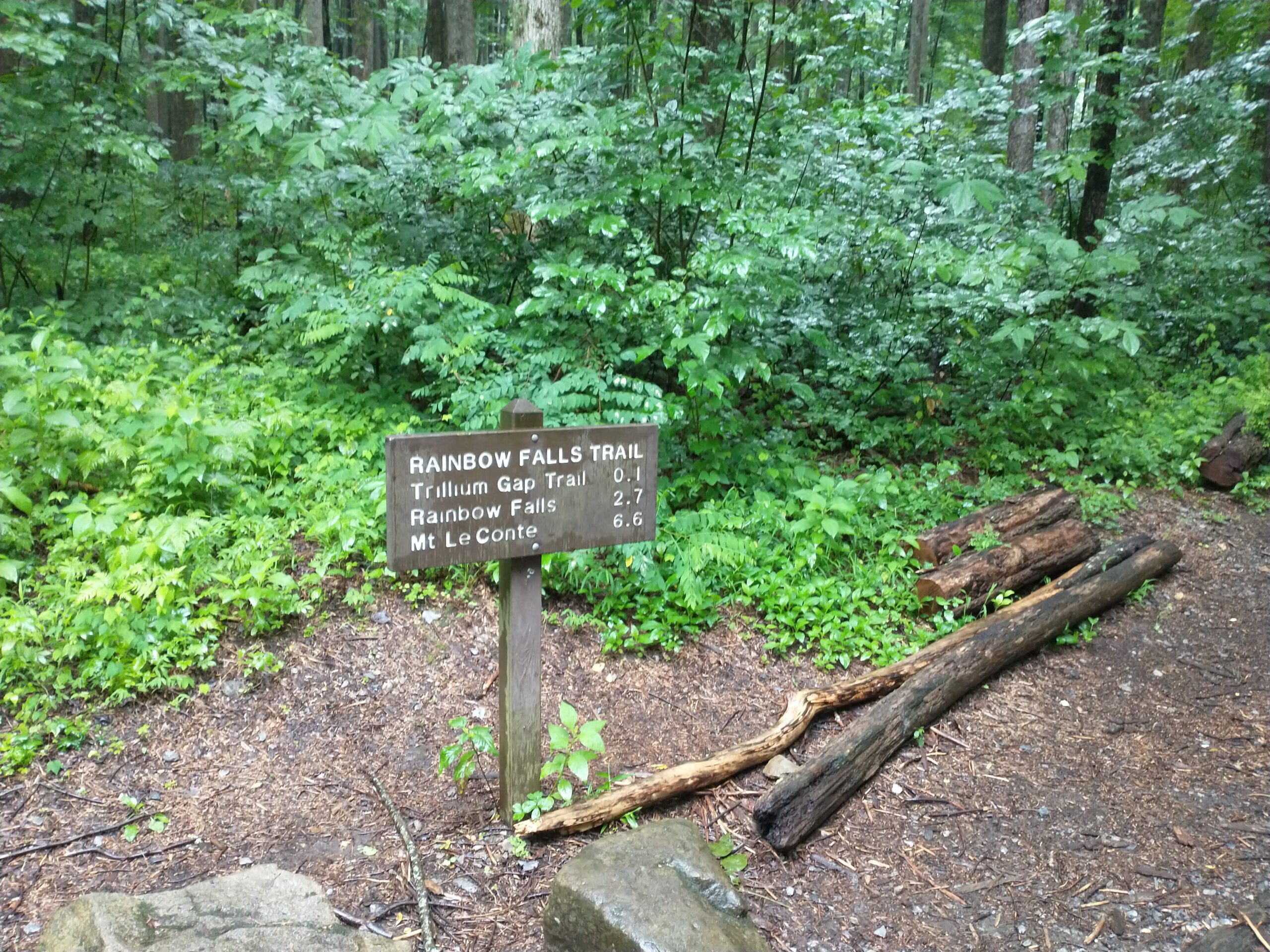
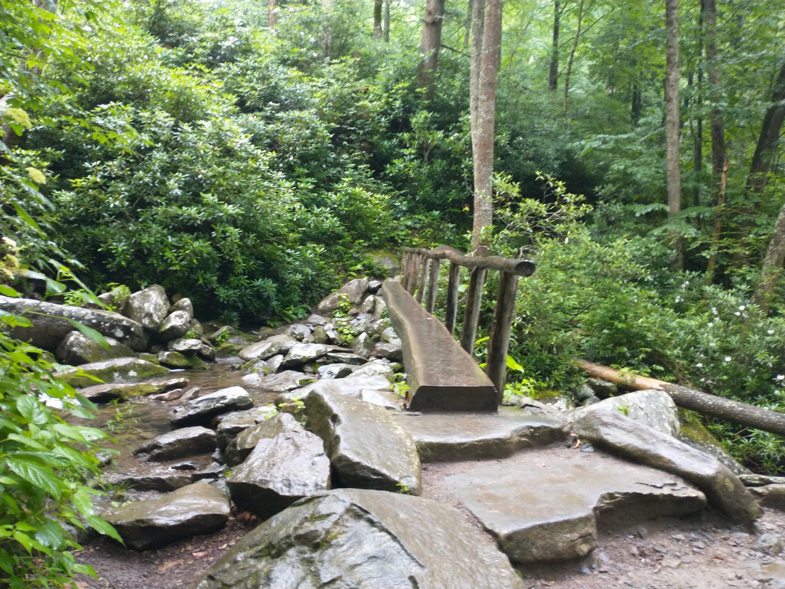
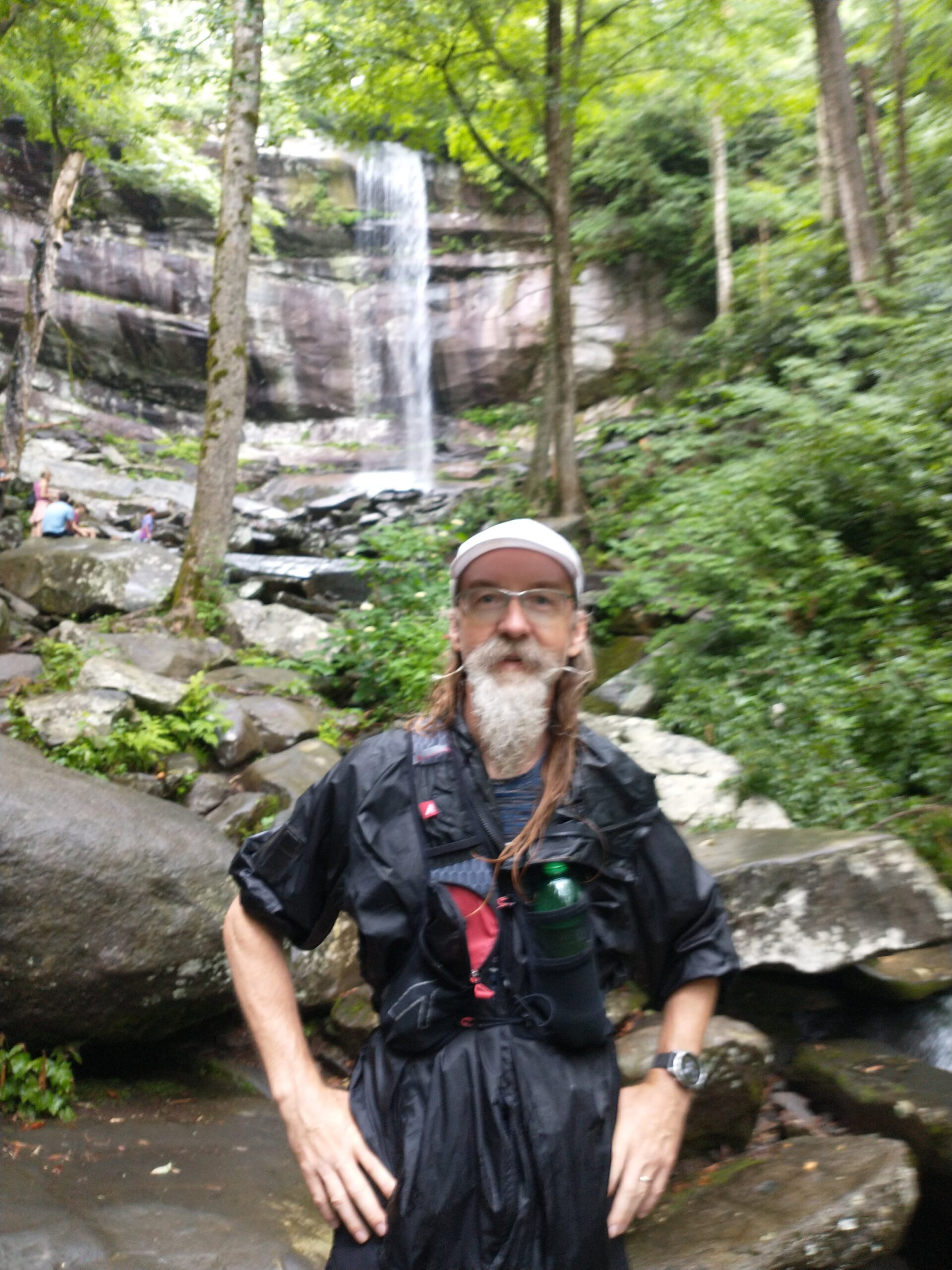
Rainbow Falls Trail (Hiking) – 5.5 miles
Any trail name with the word “falls” in it is going to be crowded so you better arrive at or before 8am to get a choice parking spot.
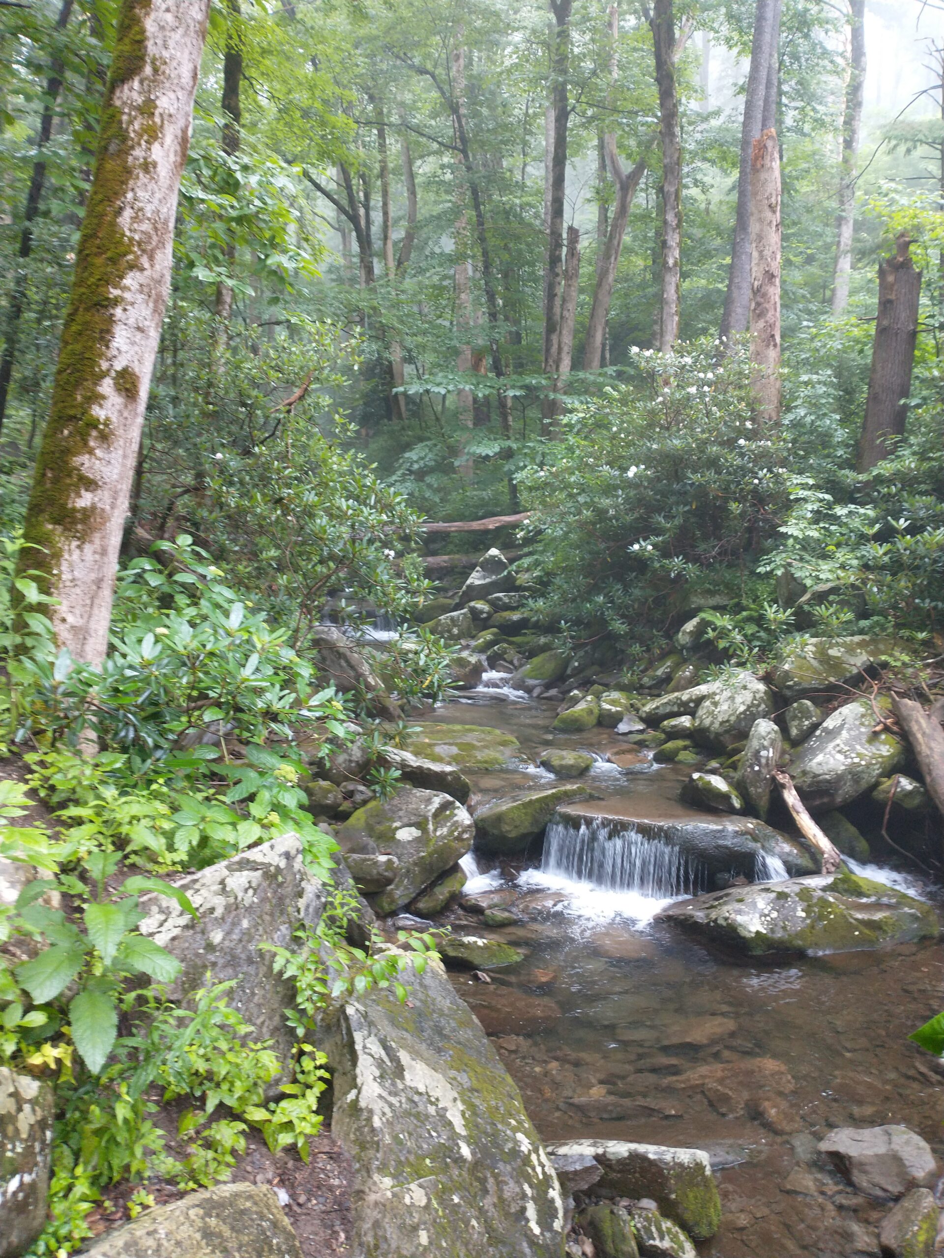
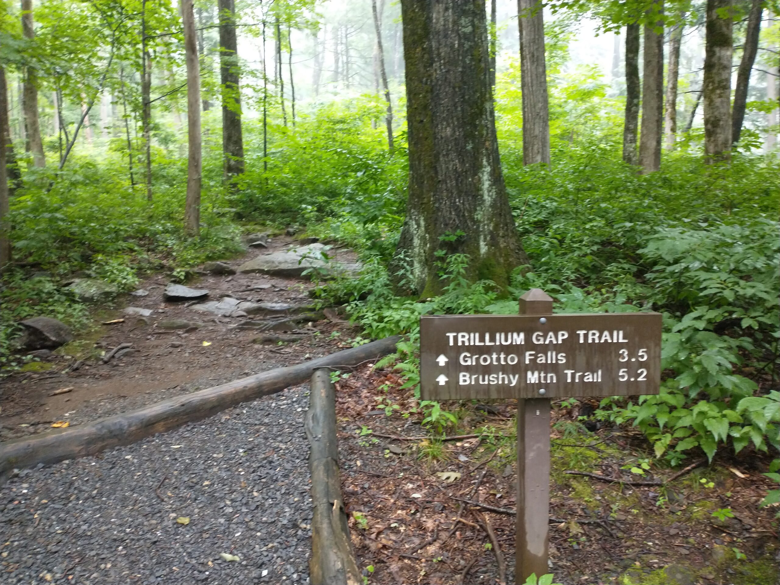
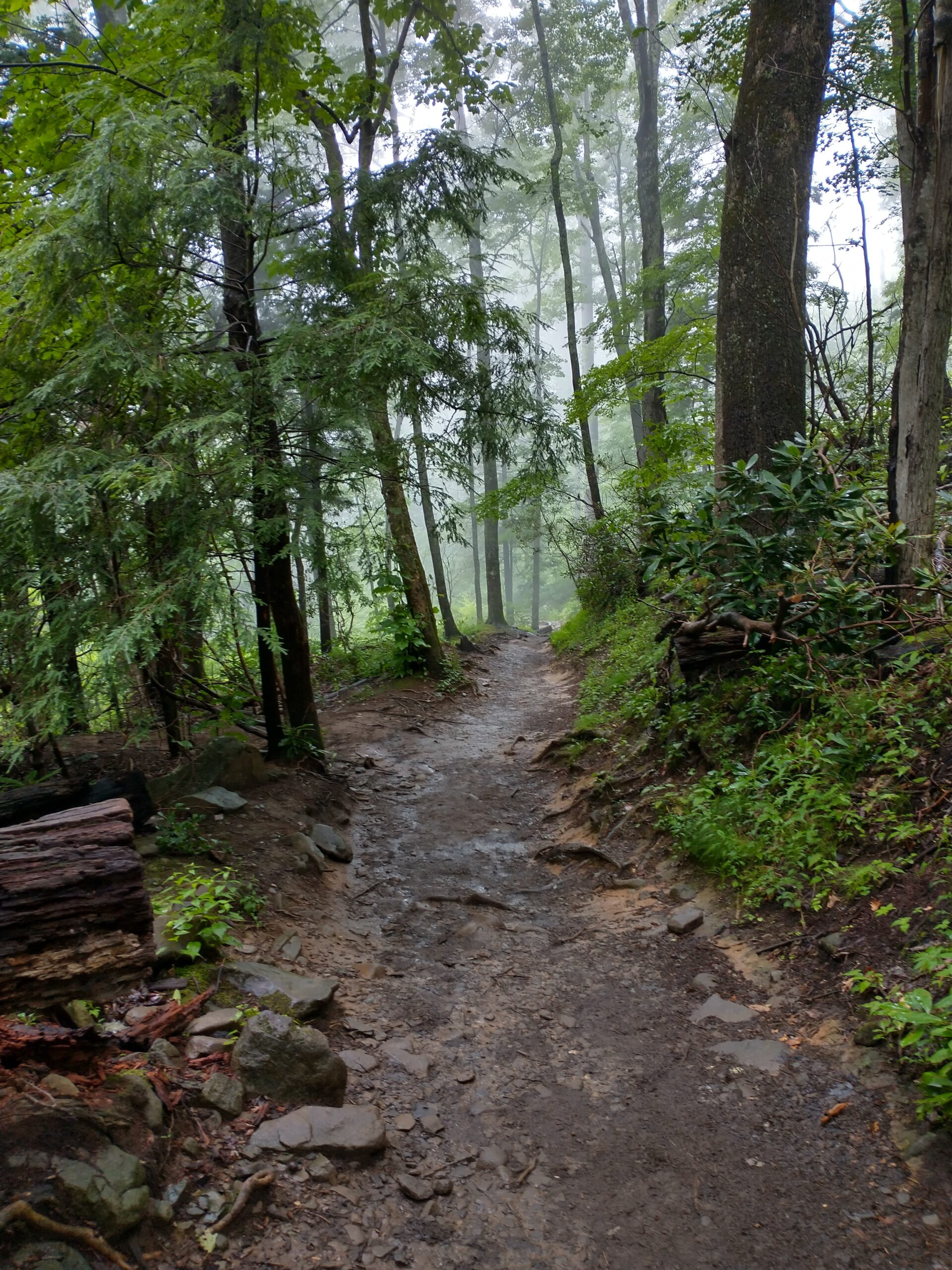
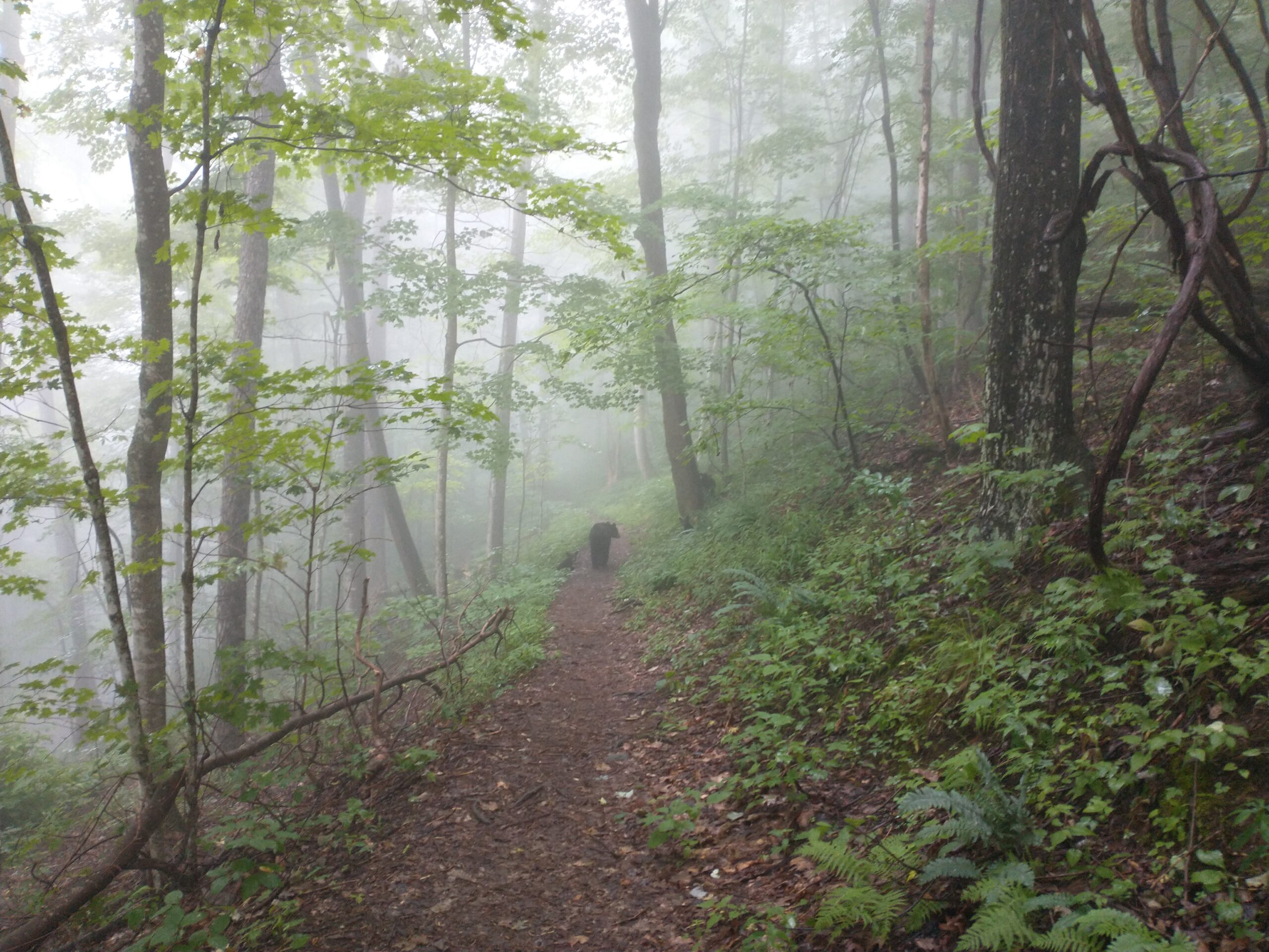
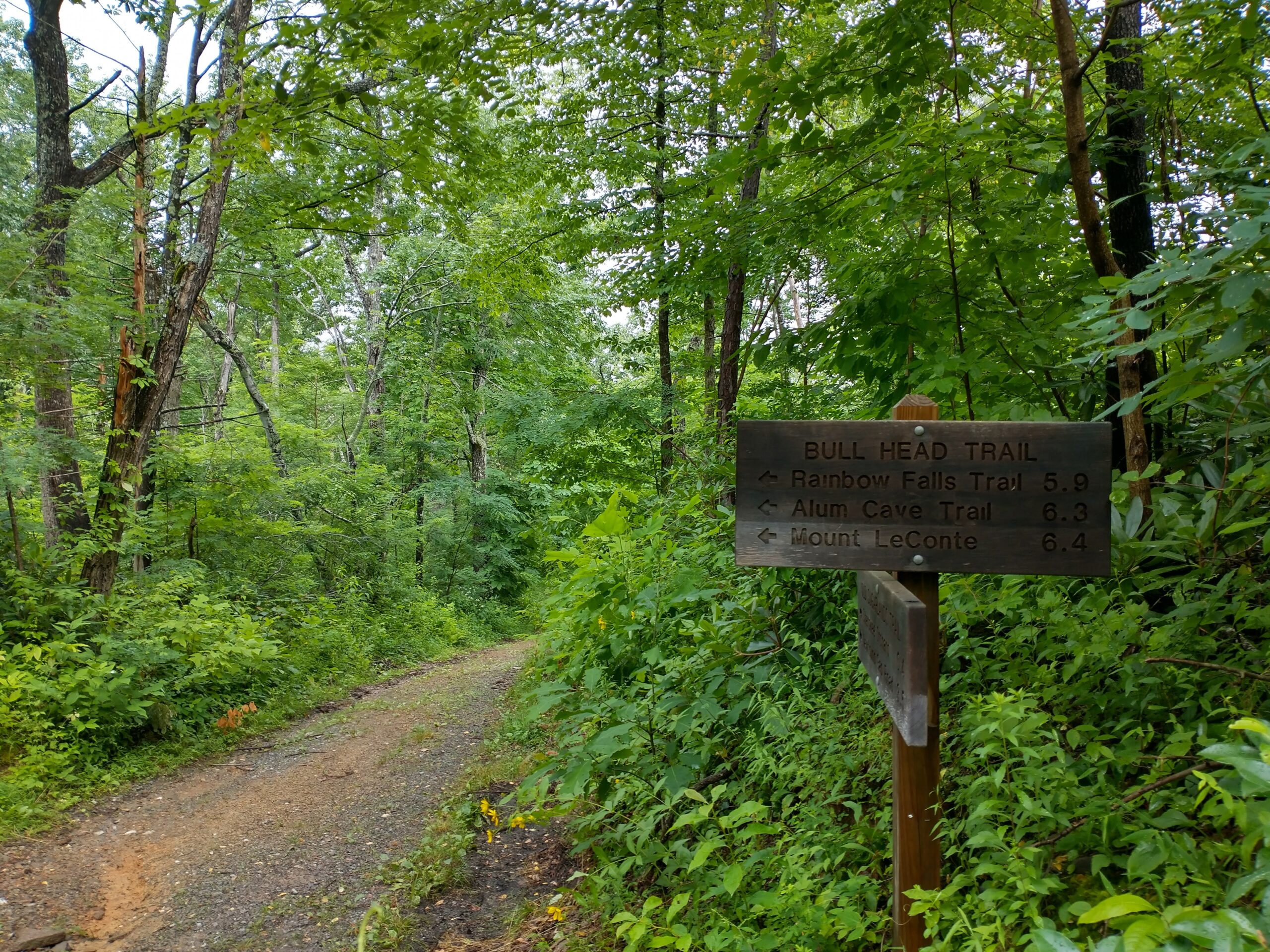
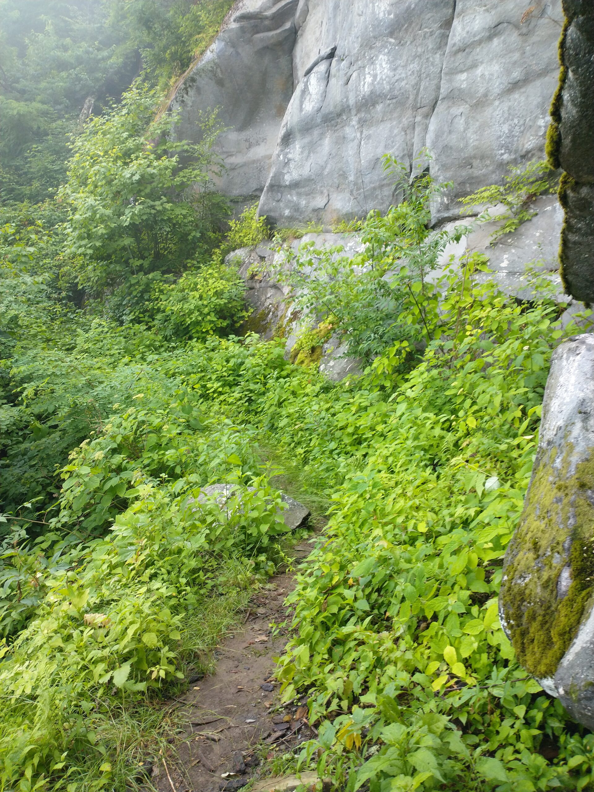
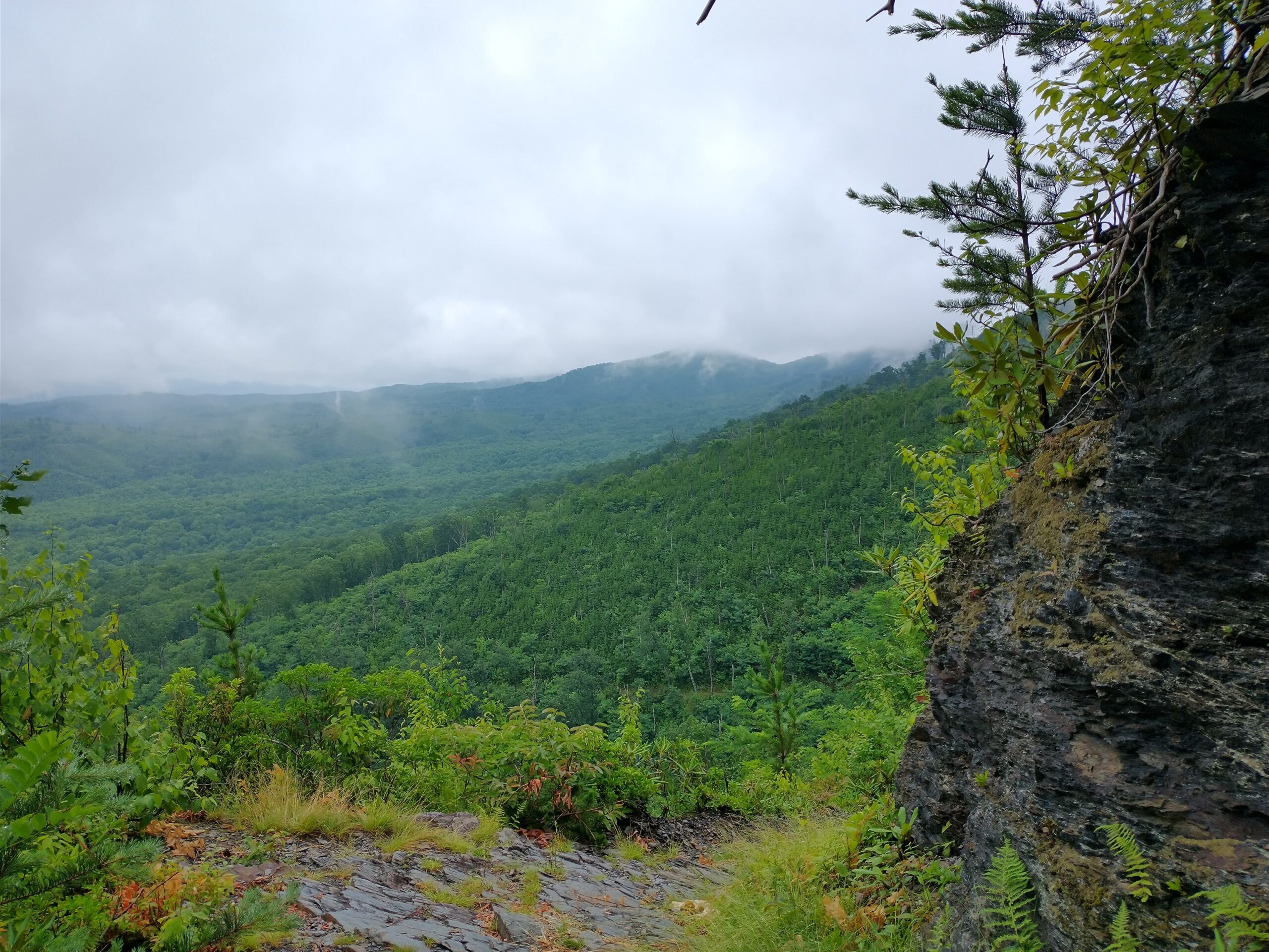
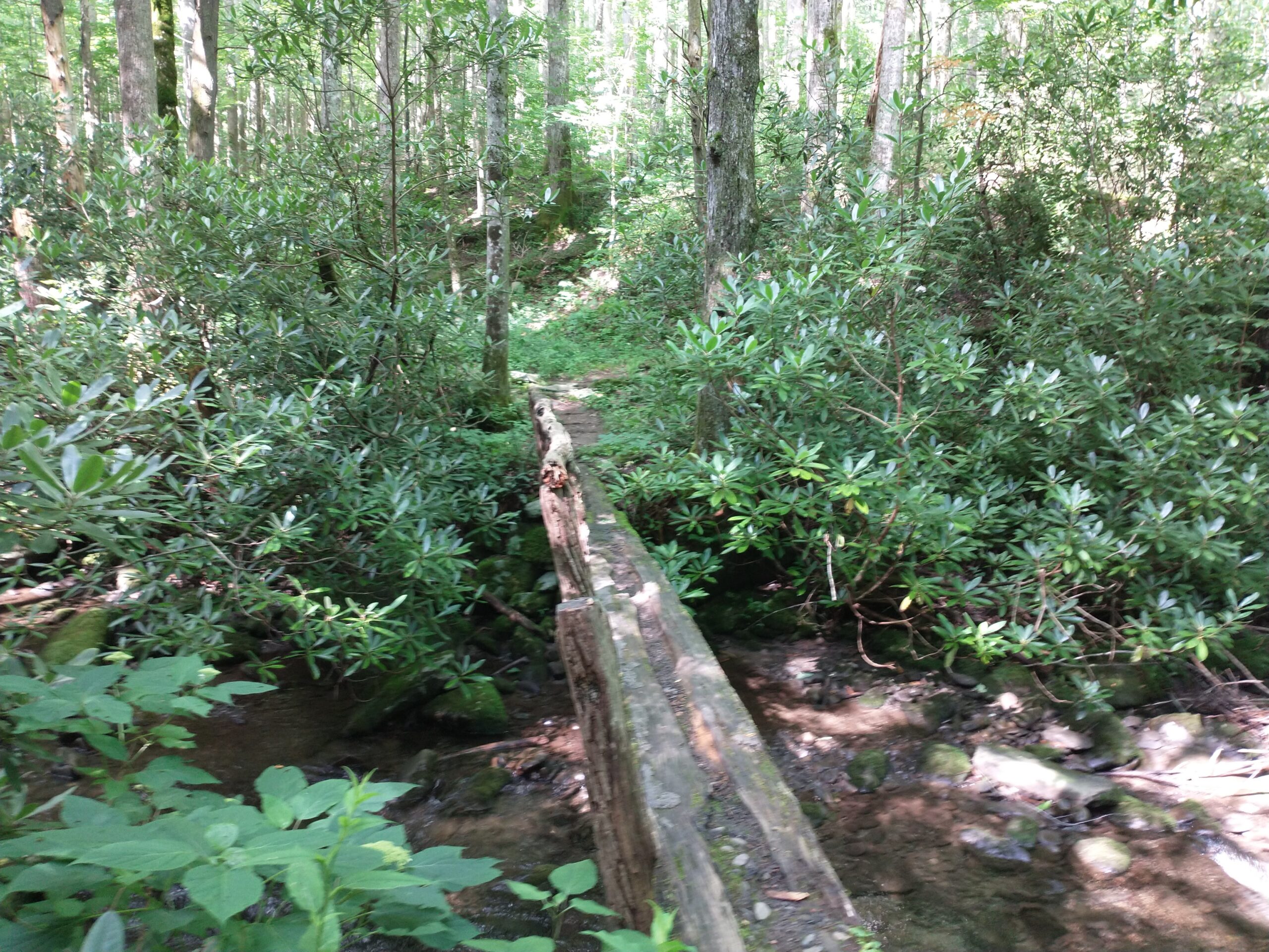
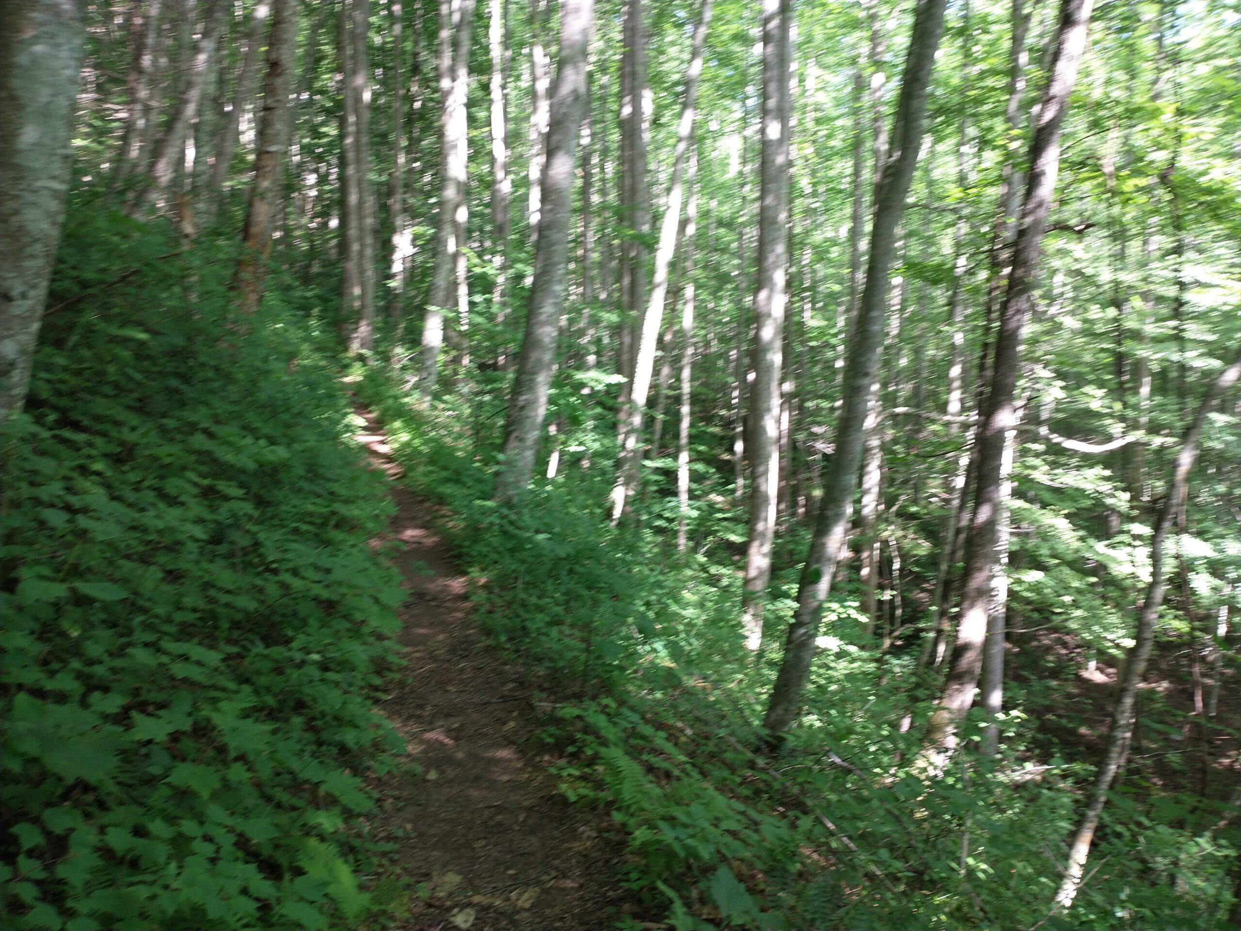
Trillium Gap Trail / Bull Head Trail (Running) – 6.7 miles
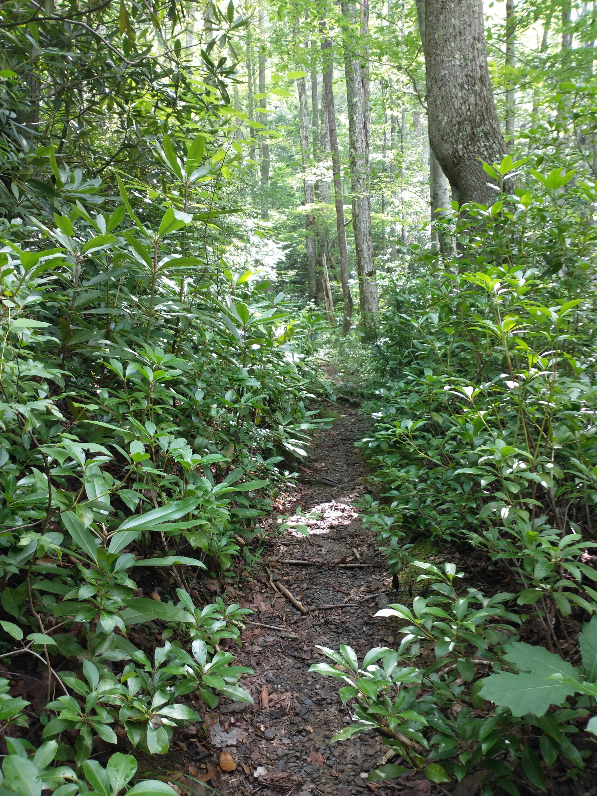
I started off on Trillium Gap Trail, which runs next to the Fork Motor Nature Trail.
Day 6, Friday
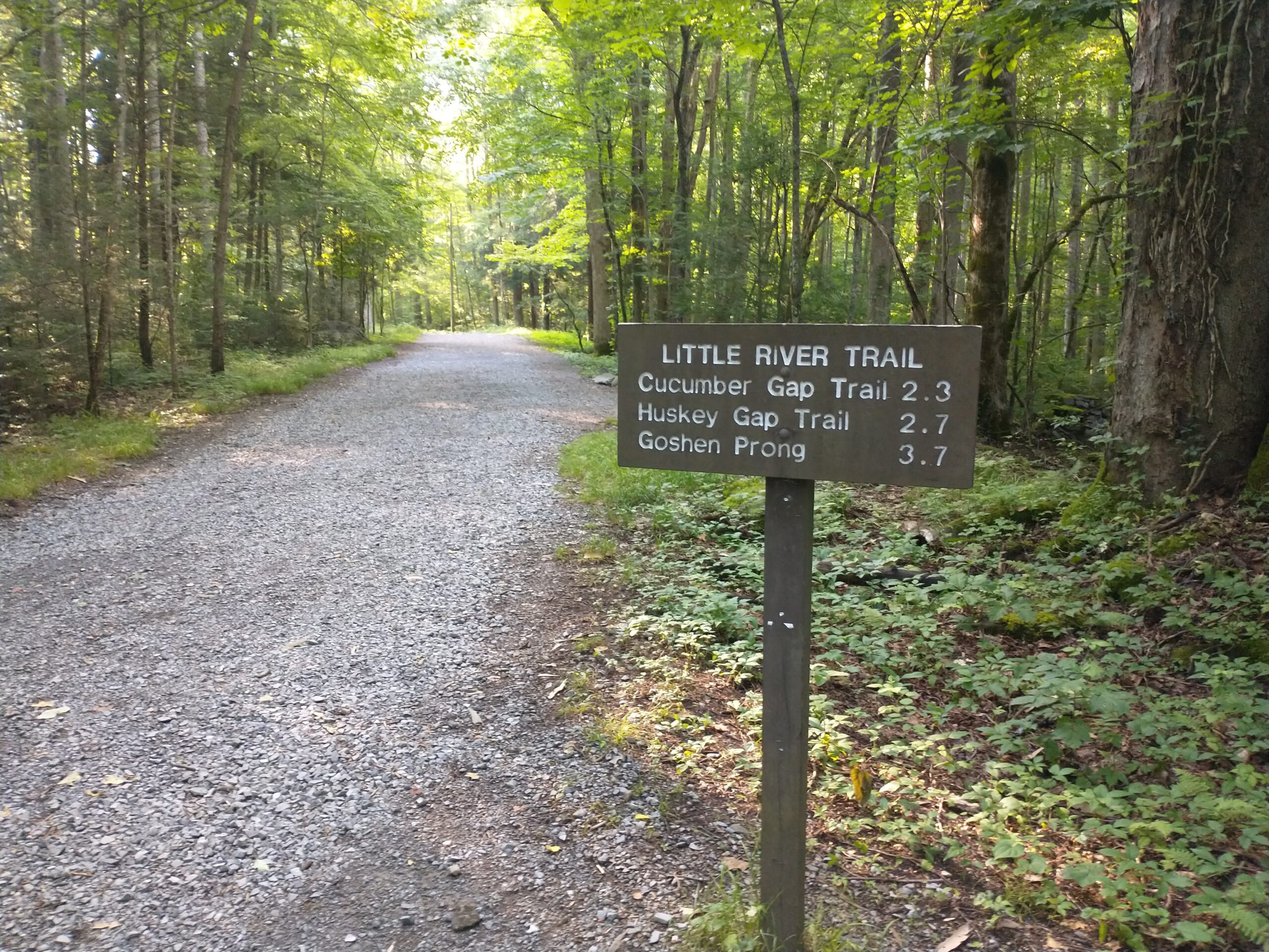
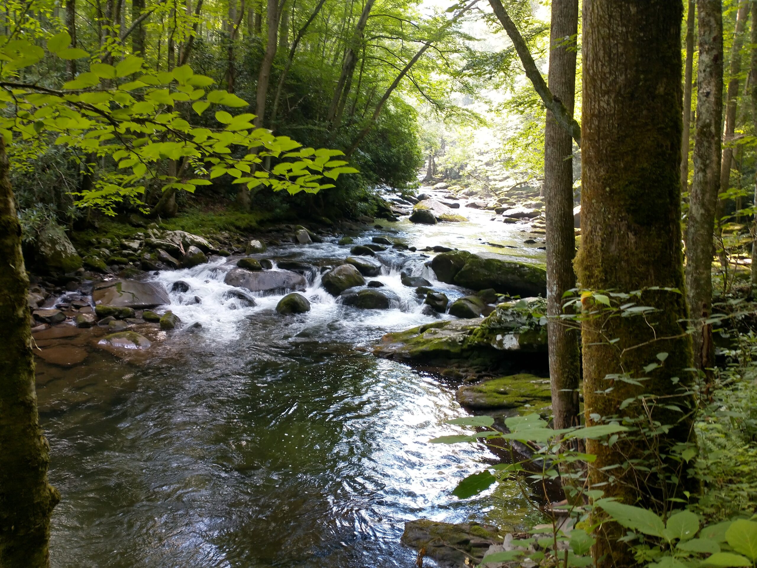
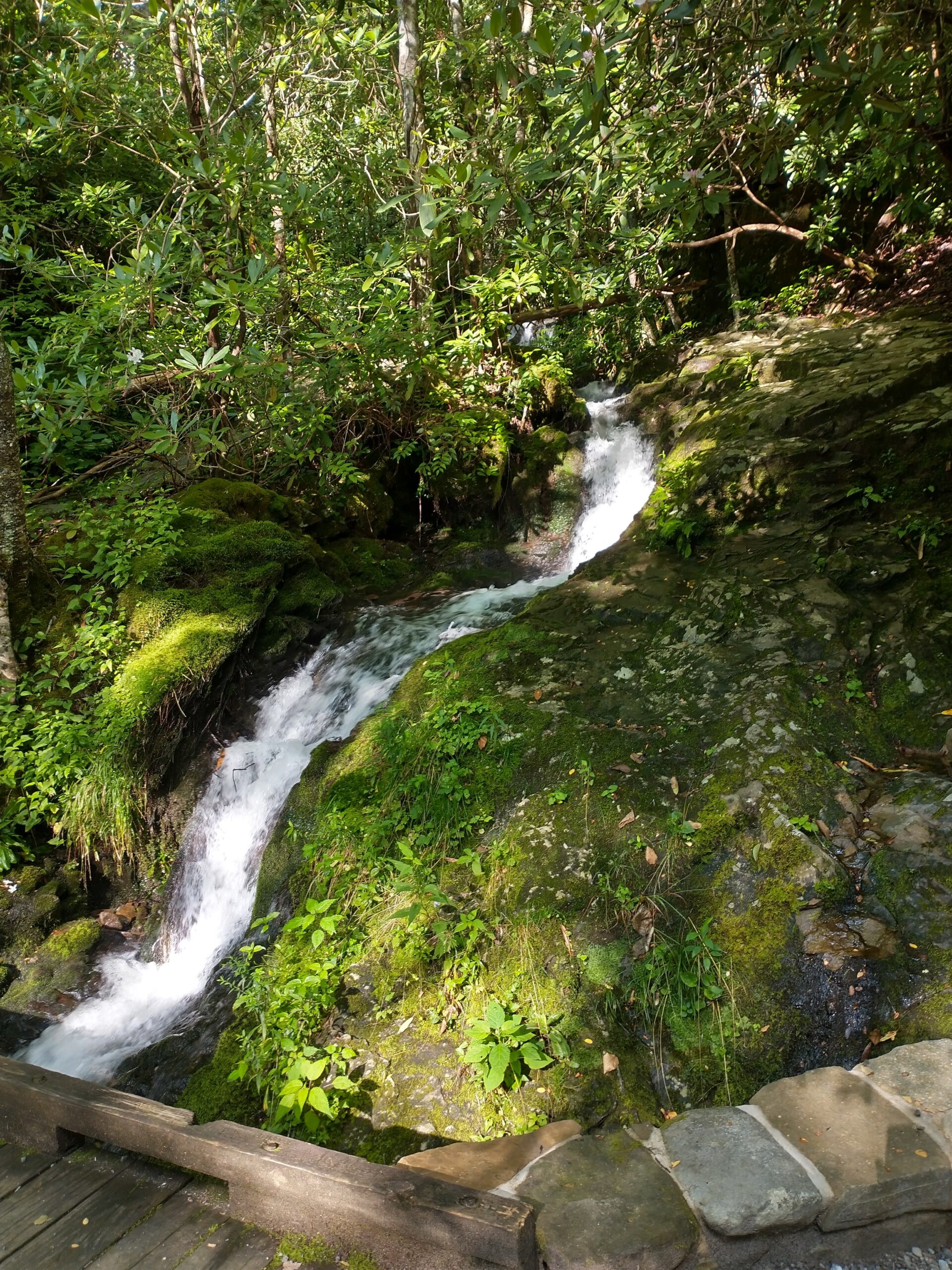
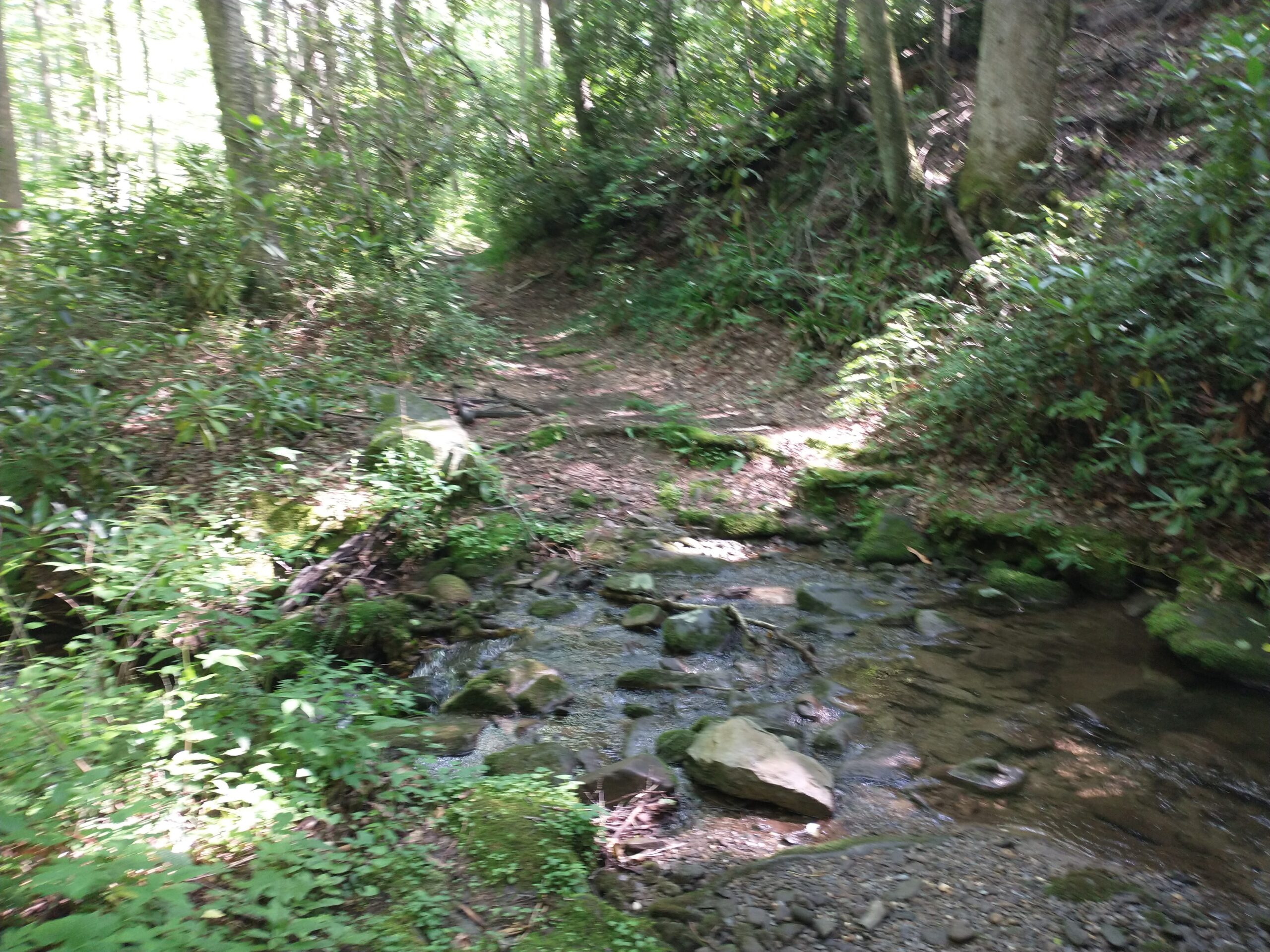
Little River Trail (Hiking) – 4.7 miles
We ended things with the easiest hike of the week.

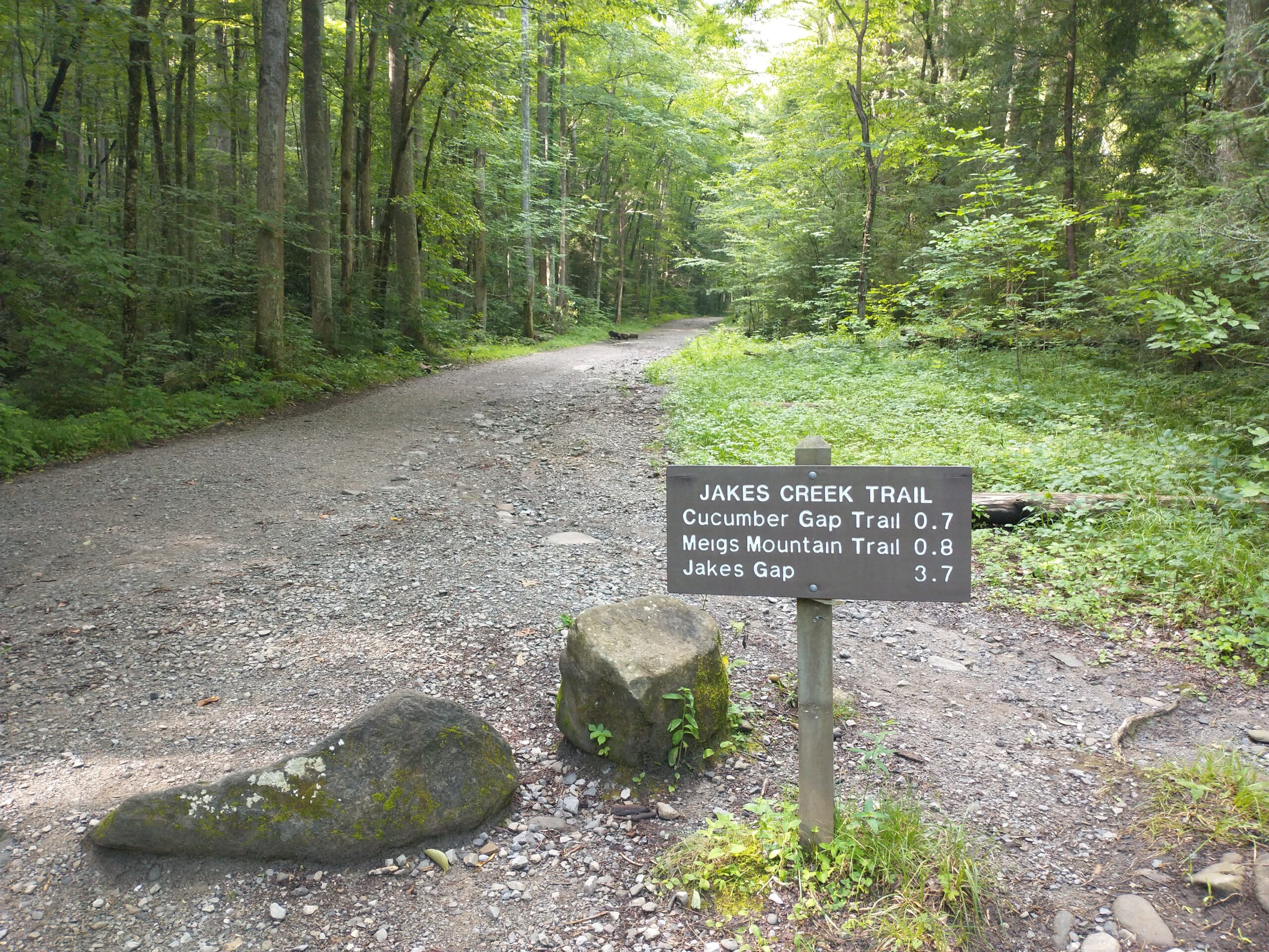
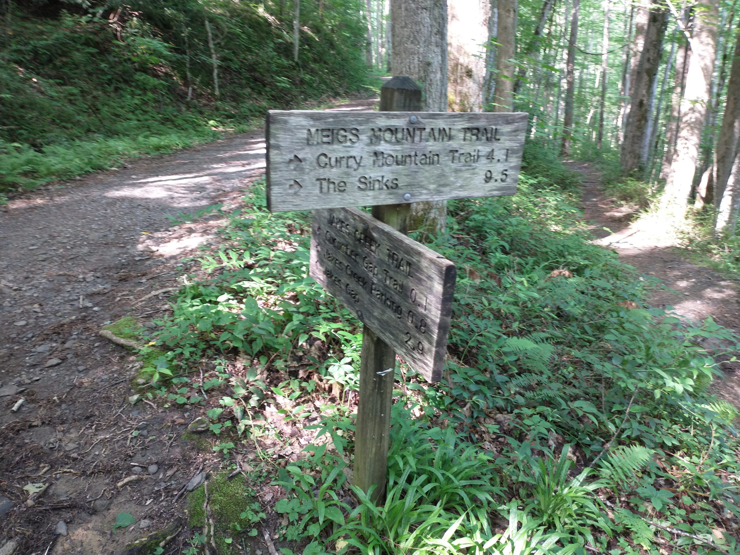
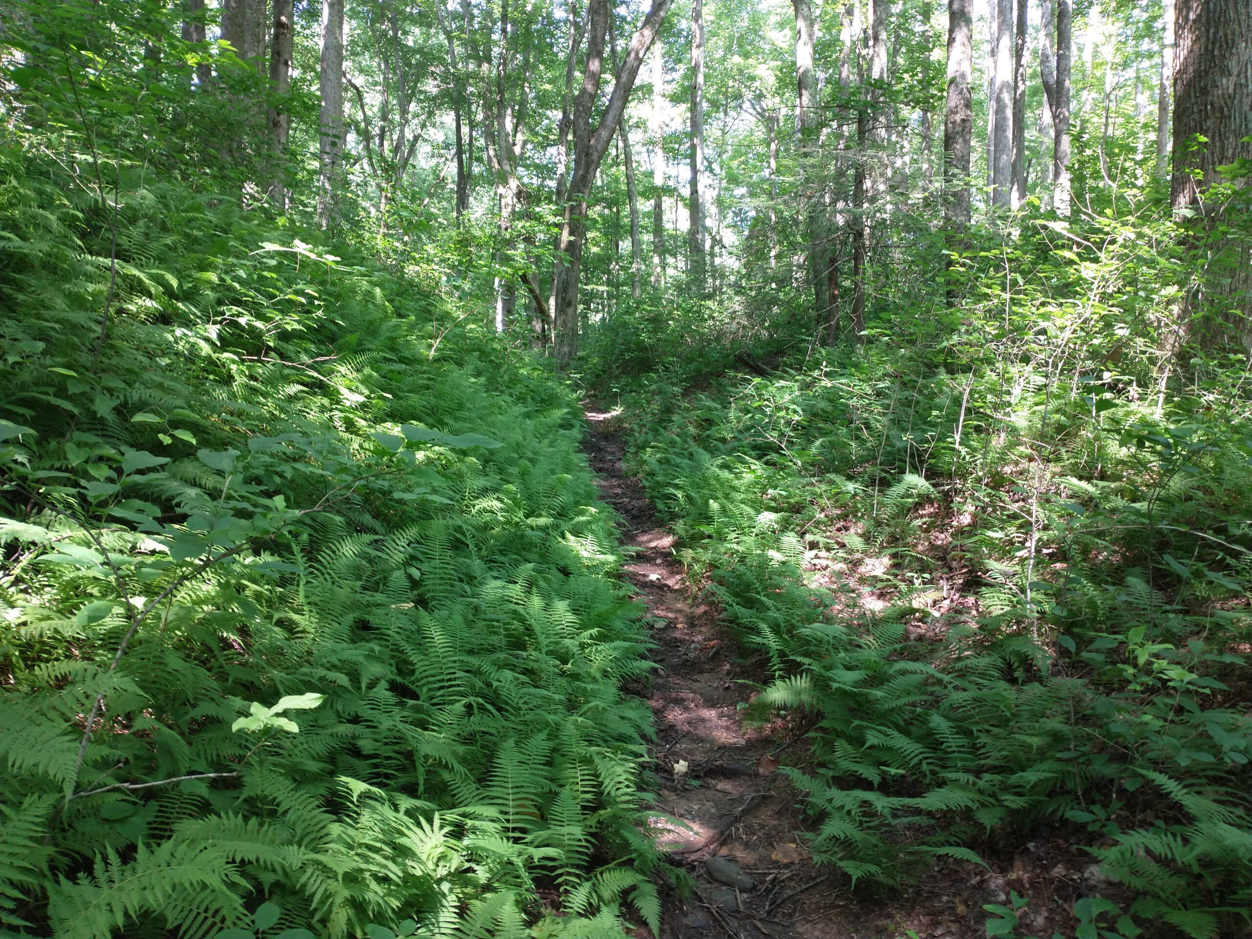
James Creek Trail / Meigs Mountain Trail (Running) – 6.3 miles
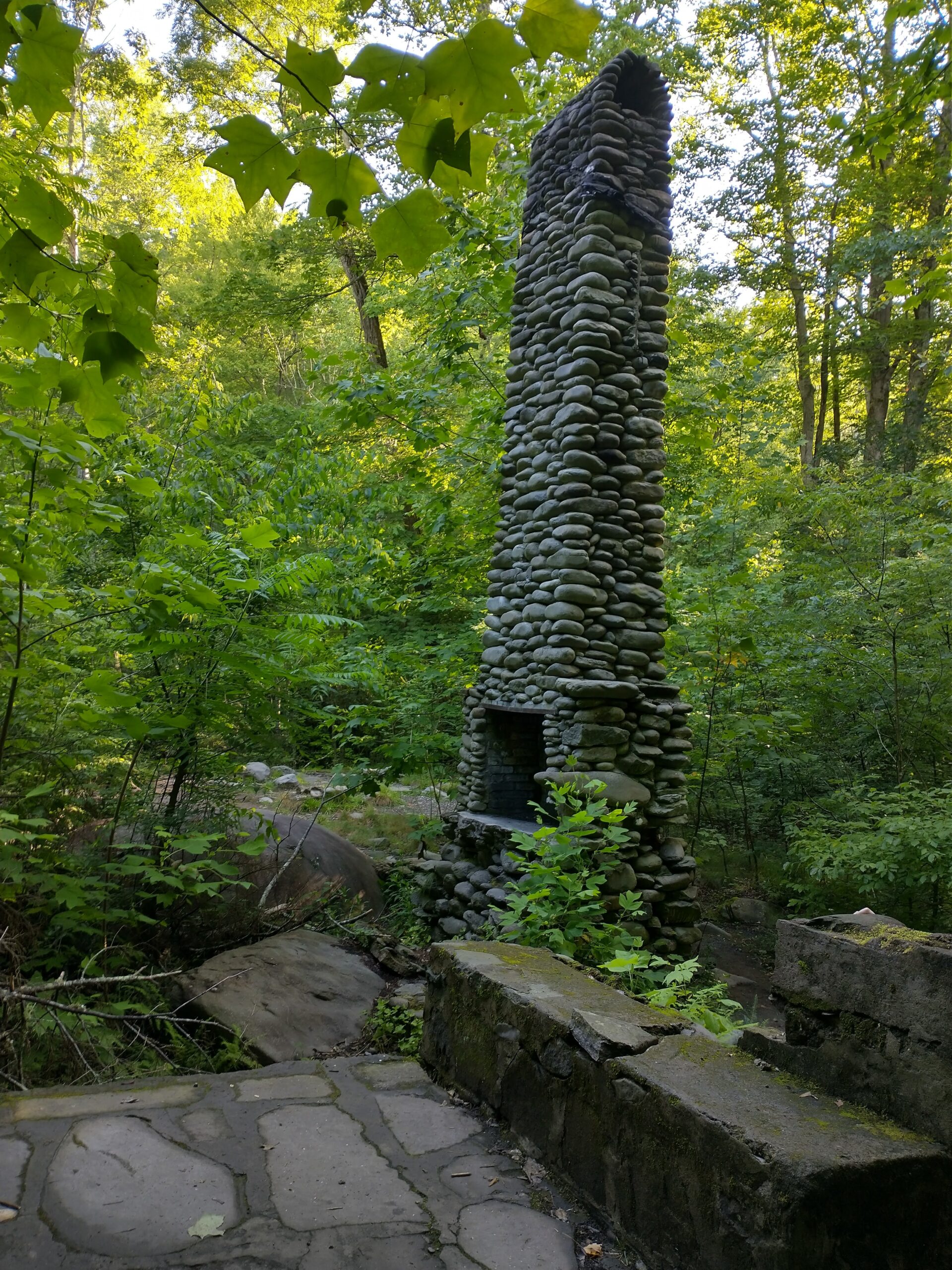
While I was running, my wife checked out Daisy Town at the trailhead which had a bunch of restored cabins.
What an amazing week of exploring the park. I ended up getting in better training than I was expecting. Each day I started out thinking I would run for about two hours and each day I decided to do a little less than that. Most of them were in the 80-90 minute range. I erred on the side of less mileage/time because I didn’t want to overdo things. This was supposed to be fun and I honestly can’t remember the last time I enjoyed running this much. Just a really, really cool week of running (and hiking).
If you’re planning a trip to the Great Smokey Mountain National Park, I have two recommendations. The first is to get out early especially if you’re doing a popular trail. Being out in nature is enjoyable, but it’s a little less so when the trails are packed with people. My second piece of advise is to choose some less popular trails to explore. Don’t just google “best Great Smokey Mountain trails”. Grab a map and look for trails that are a little off the beaten path. I guarantee you won’t be disappointed. I would rank the ones I ran in this order:
- Bull Head Trail
- Sugarland Mountain Trail
- Old Sugarlands Trail
- Husky Gap Trail
- West Prong Trail
- Meigs Mountain Trail
Now it’s time to go plan my next national park trip.
Looks like a fabulous trip! Great pics!
Thanks!