My family is spending a week in Gatlinburg, TN and exploring the Great Smokey Mountains National Park. We were here three years ago and loved it, however I didn’t do any running in the park since I was still recovering from Laurel Highlands. Here’s where I’ve been hiking/running:

Day 1, Sunday

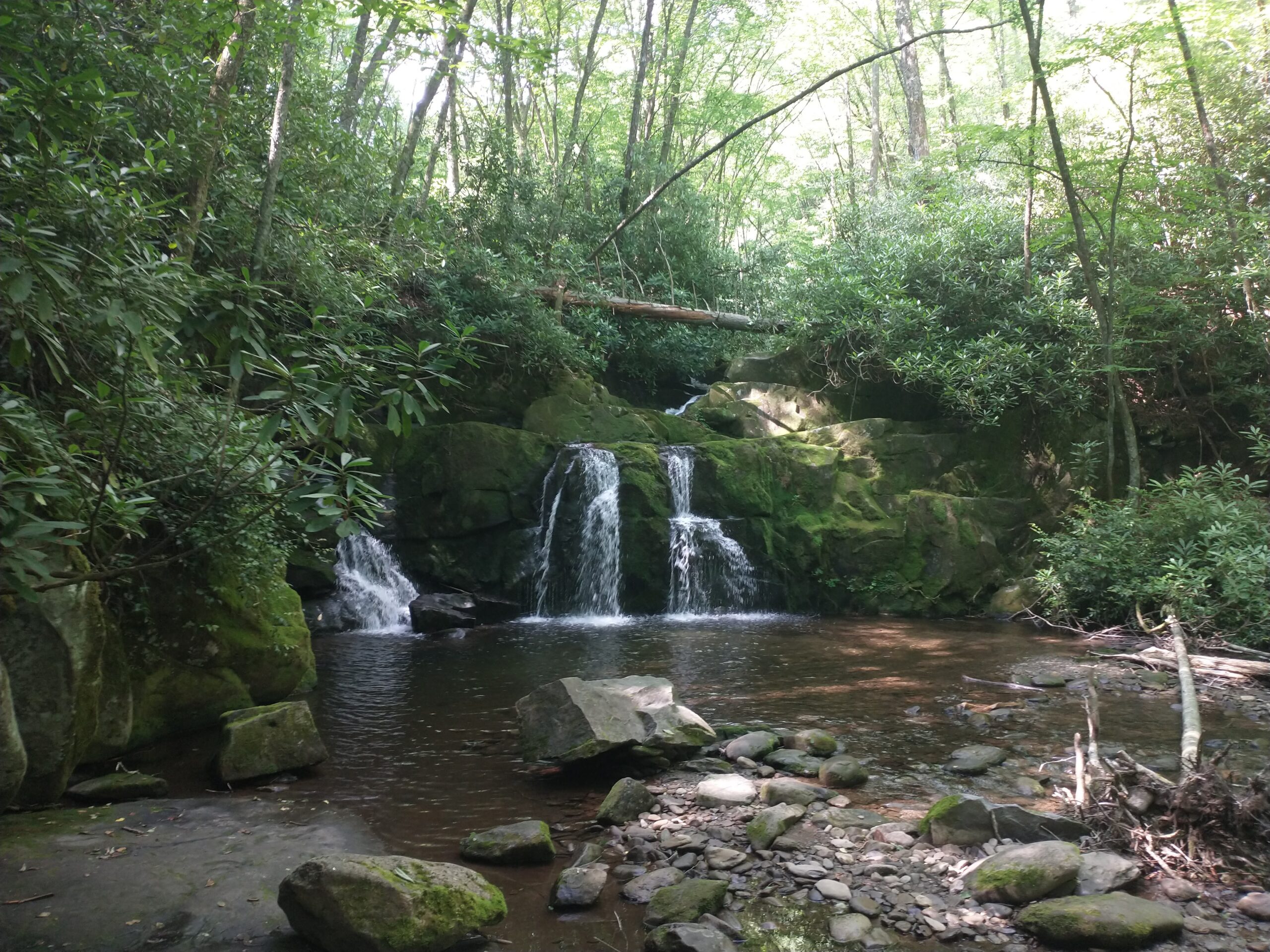
Middle Prong Trail (Hiking) – 8 miles

The happy family about half mile into our week of adventures.
4 mile up the Middle Prong, there’s a little side trail that takes you to these cool falls. Then it’s an easy 1200 feet back down to the trailhead.

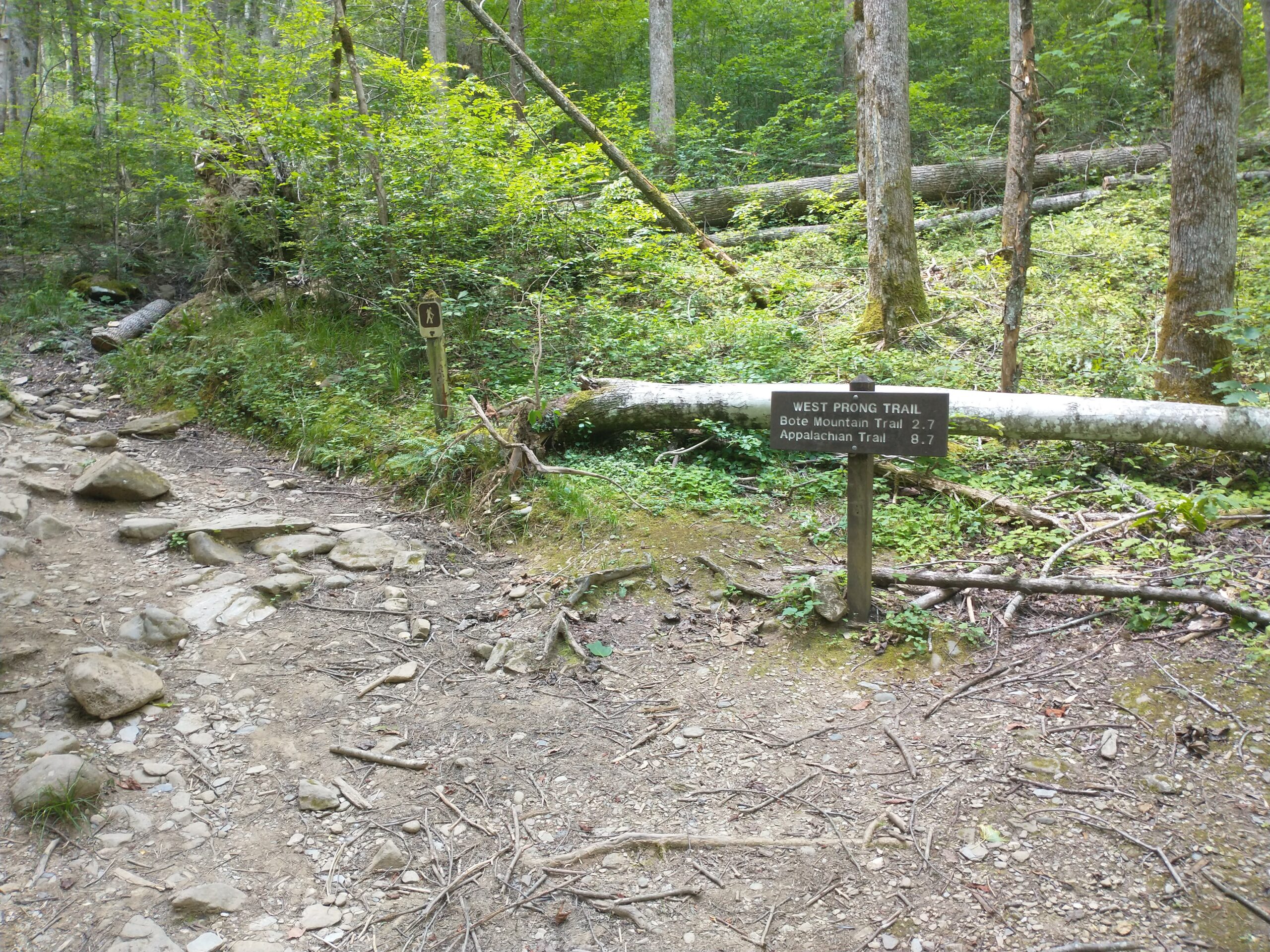
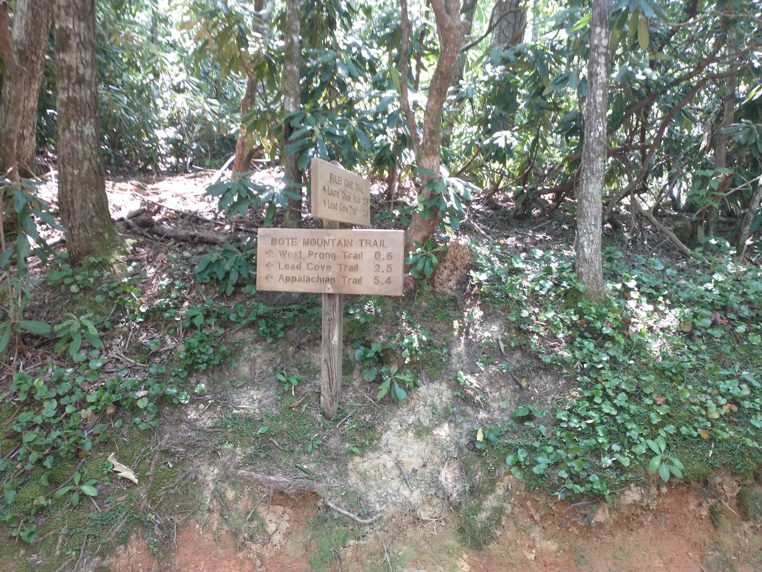
West Prong Trail (Running) – 6.5 miles

I was excited to start running only to discover the first mile to have 473 feet of elevation gain. Sigh.
Cool bridge 2 miles in.
Gorgeous wooded scenery.
I went less than a mile down Bote Mtn Trail before heading back. 1600 feet elevation gain/loss in 80+ degree temps = perfect Eastern States training.

Day 2, Monday

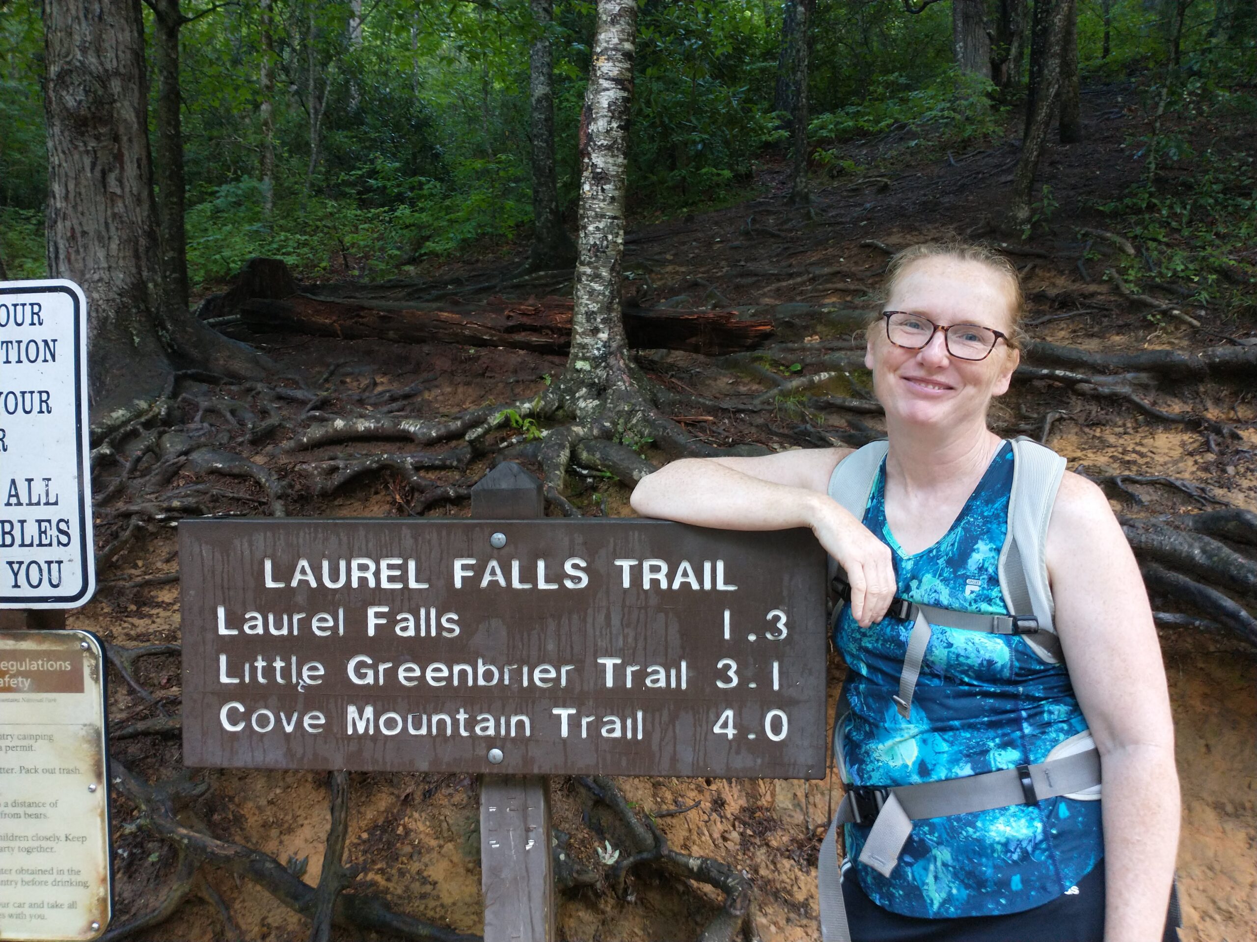
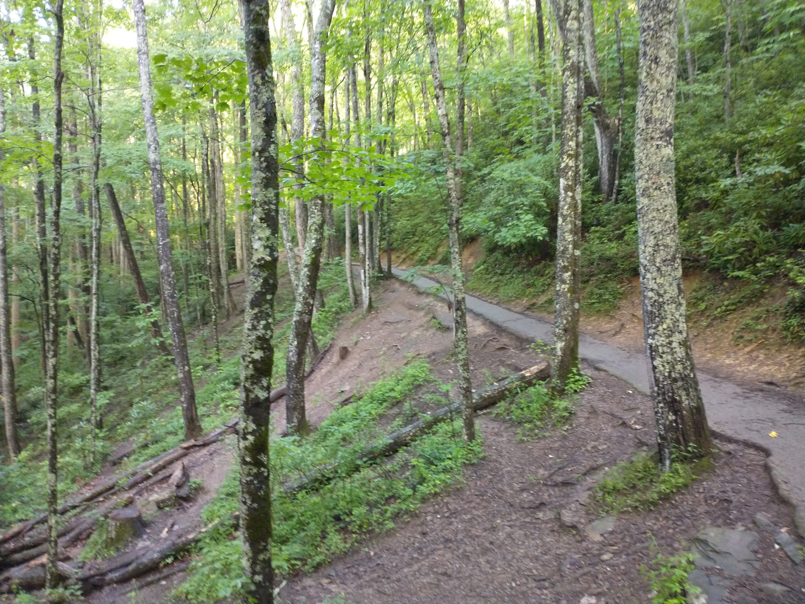
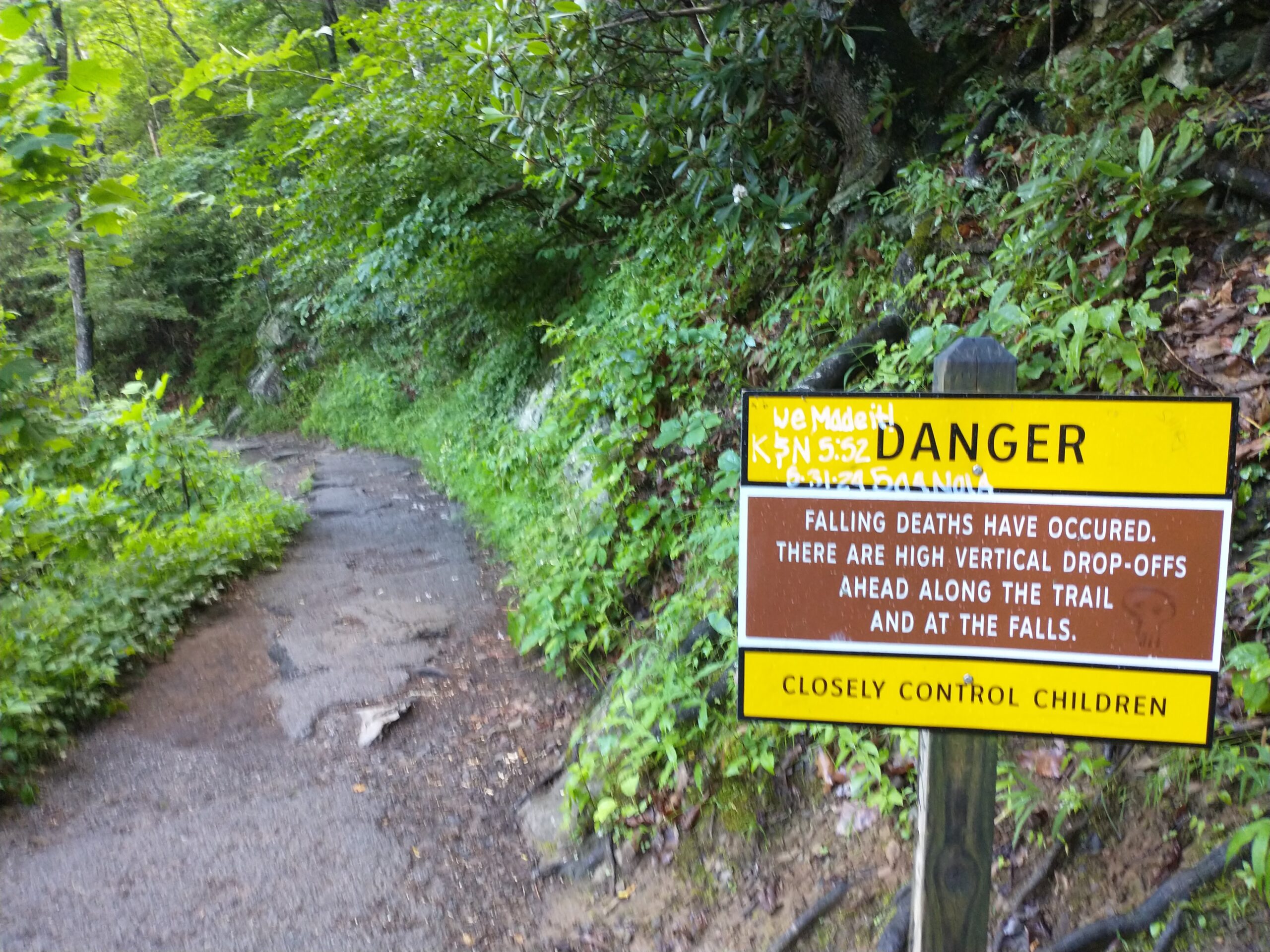
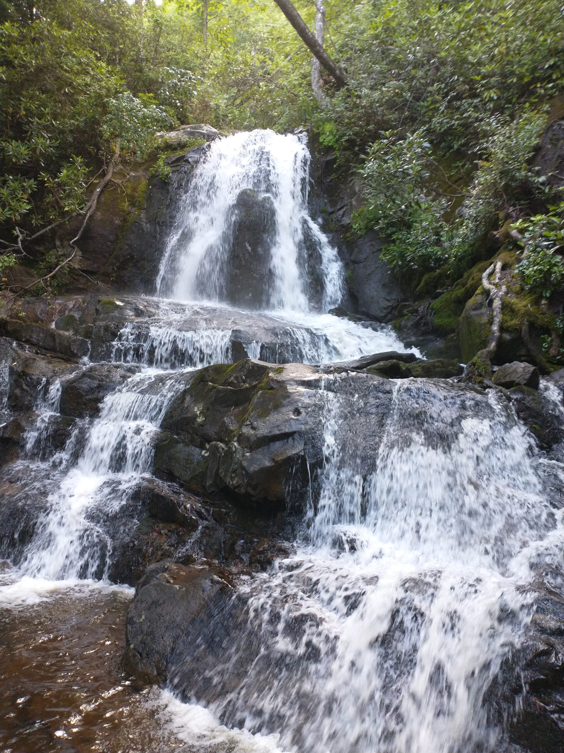
Laurel Falls Trail (Hiking) – 2.5 miles

My wife and I arrived a little after 8am and there were still 5-6 parking spots left at the trailhead. We knew this was a popular route so were sure to get there early.

My beautiful wife humoring me for a photo.
The trail is paved all the way to the falls. Not quite to ADA standards though.
One of the more effective warning signs that I’ve seen.
And the falls!

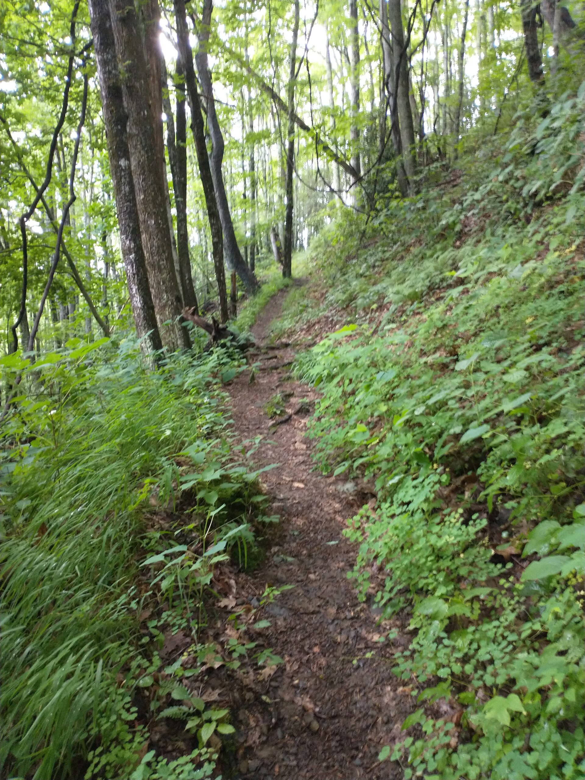
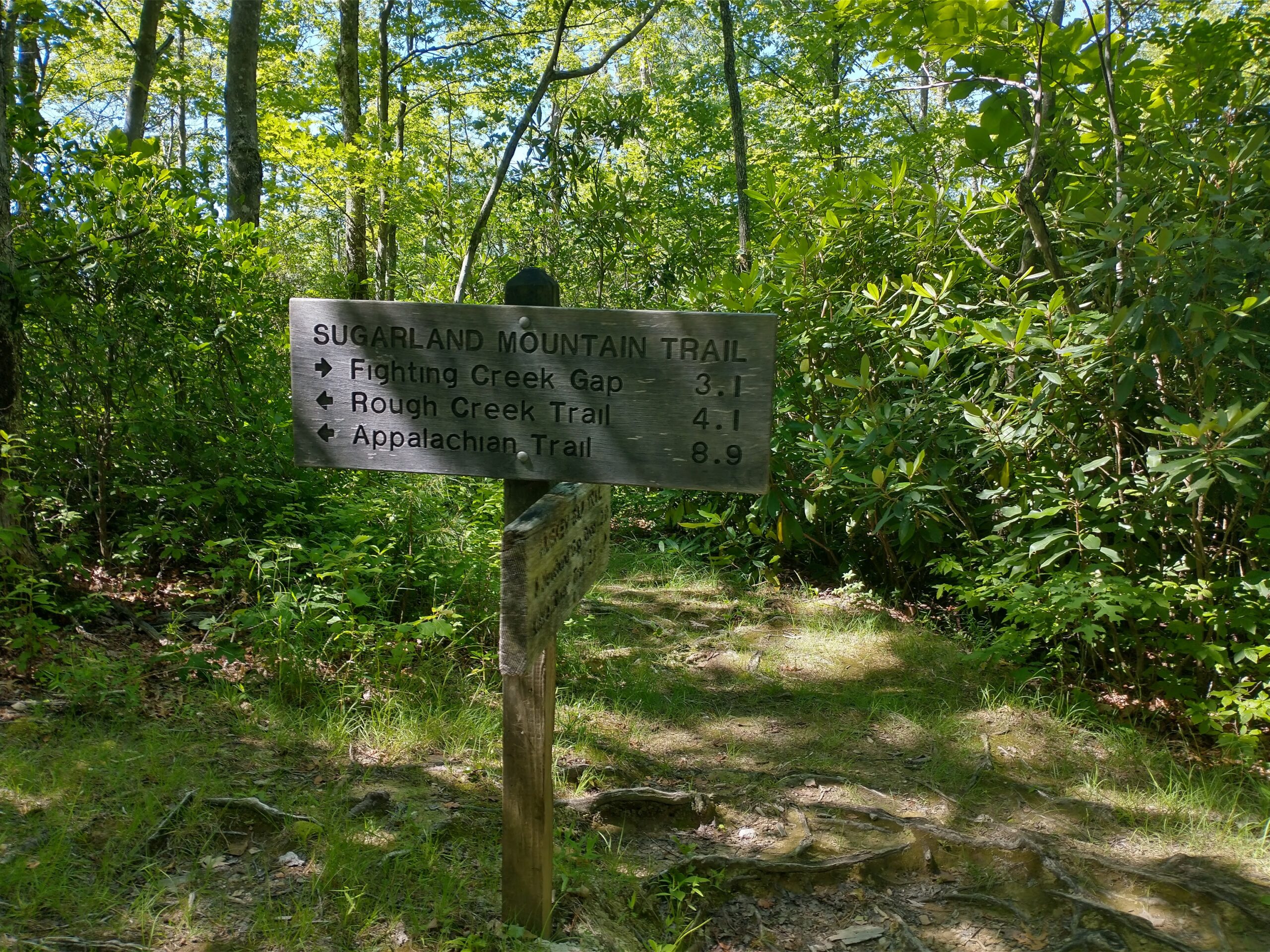
Sugarland Mountain Trail (Running) – 4 miles

This is right across the street from the Laurel Falls trail. I saw zero people during the hour I was on it.
1300 feet elevation gain. Another great ES100 training run.
I actually let out a shout of joy as I was cruising along.

Day 3, Tuesday

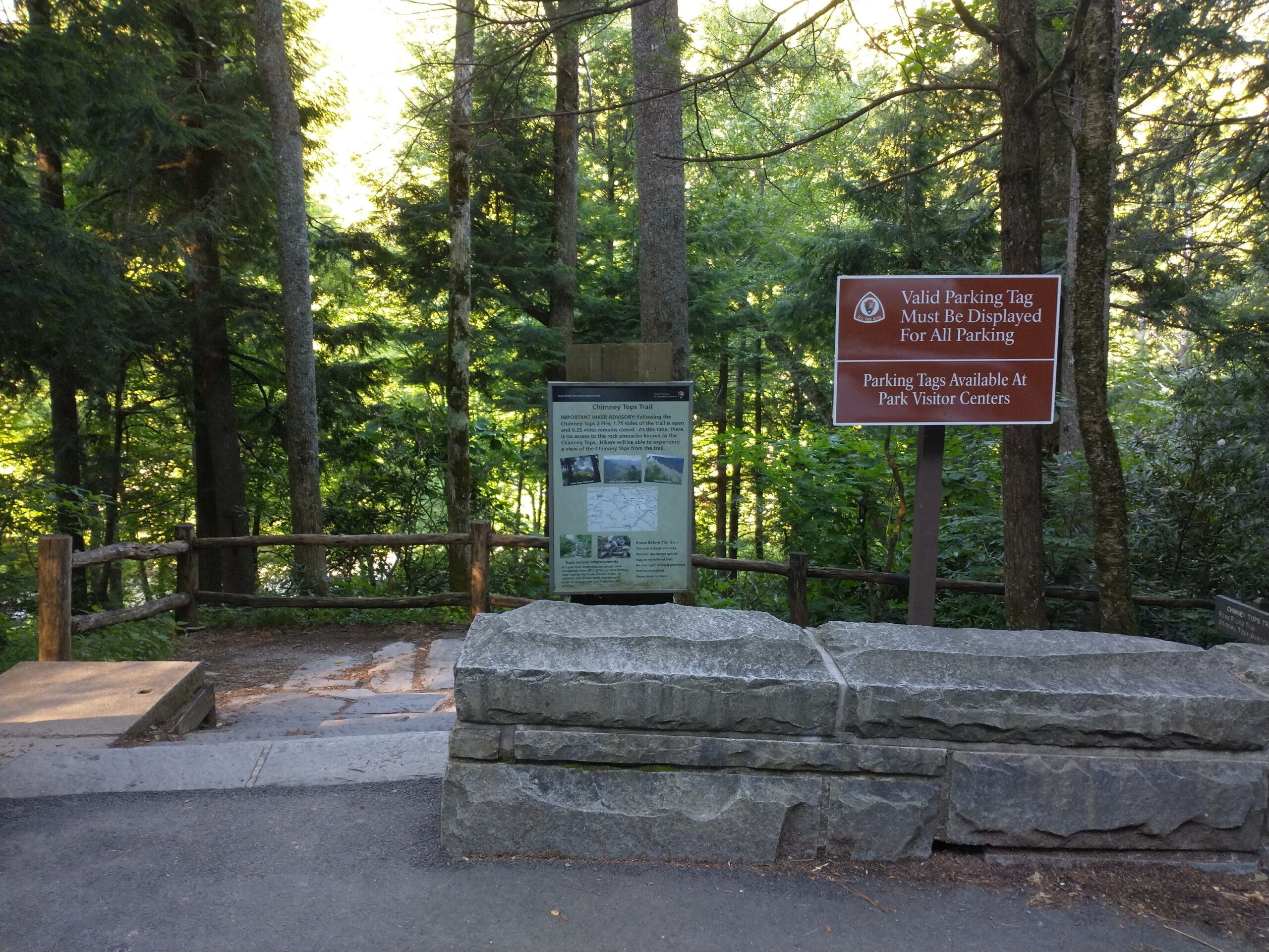
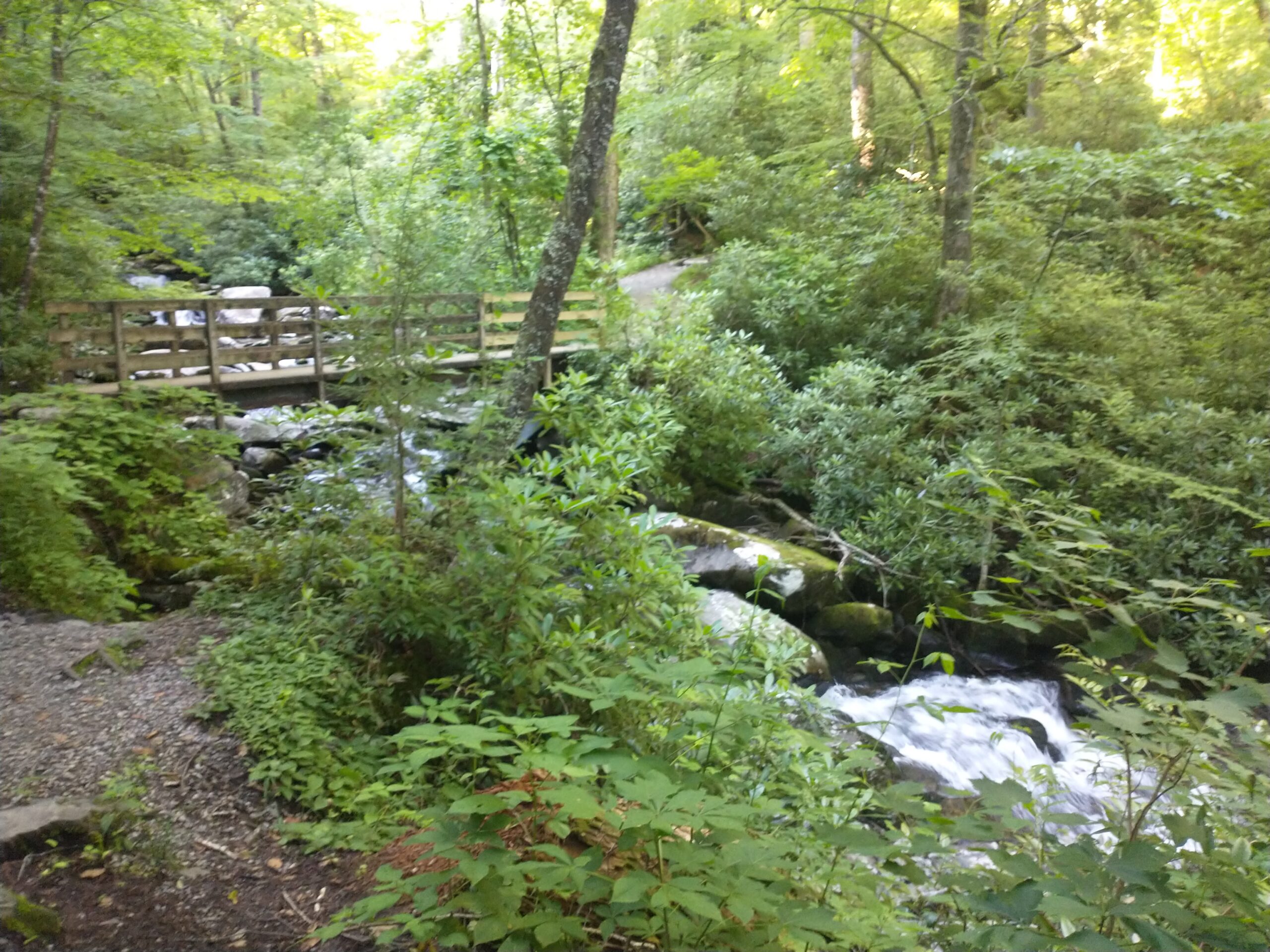
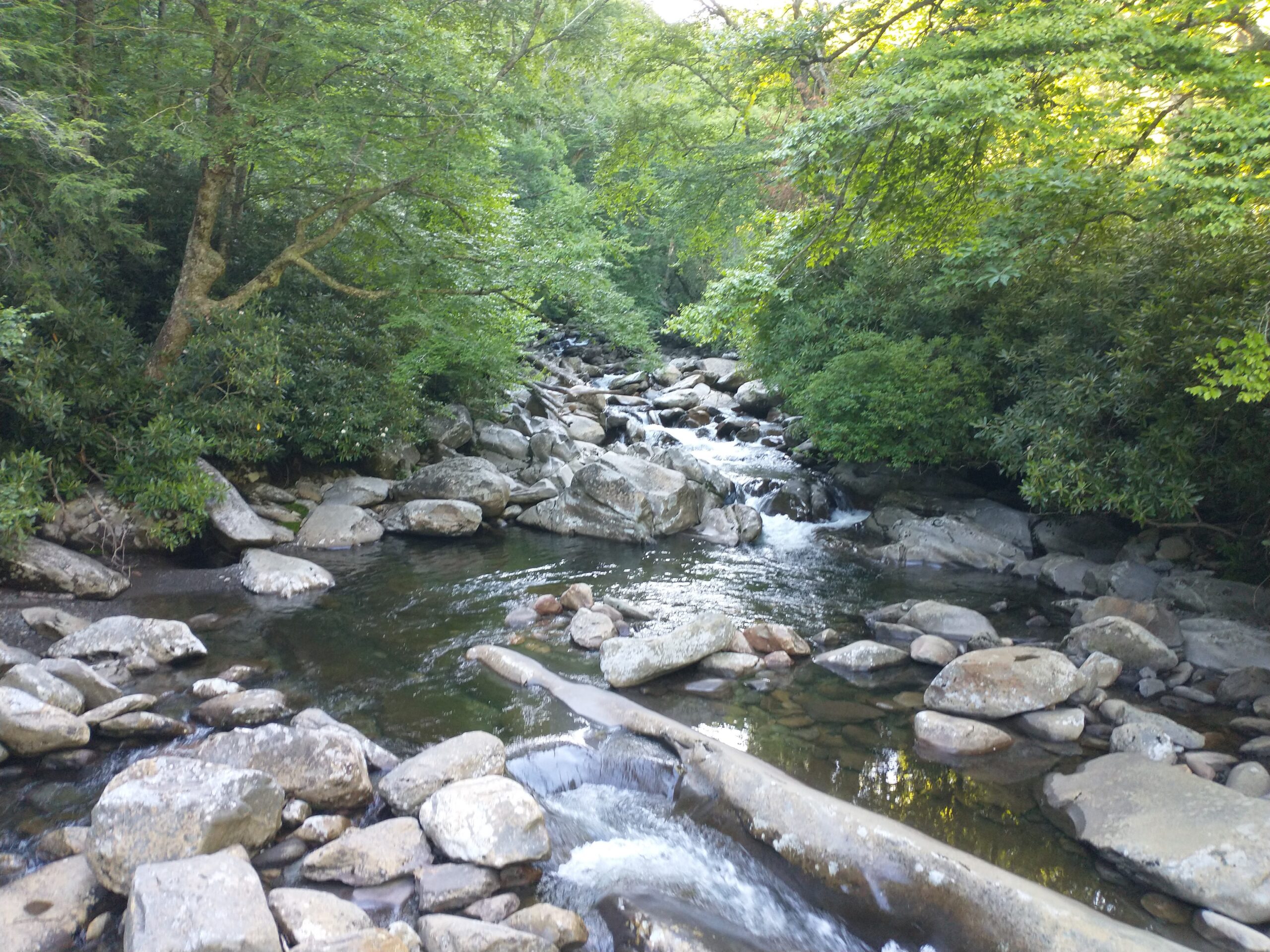
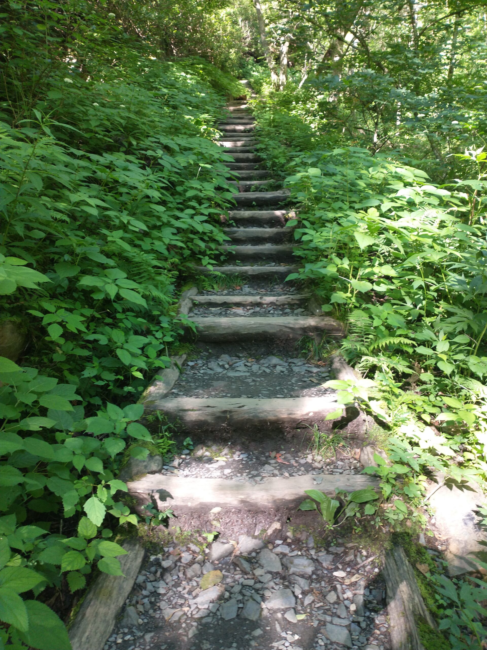
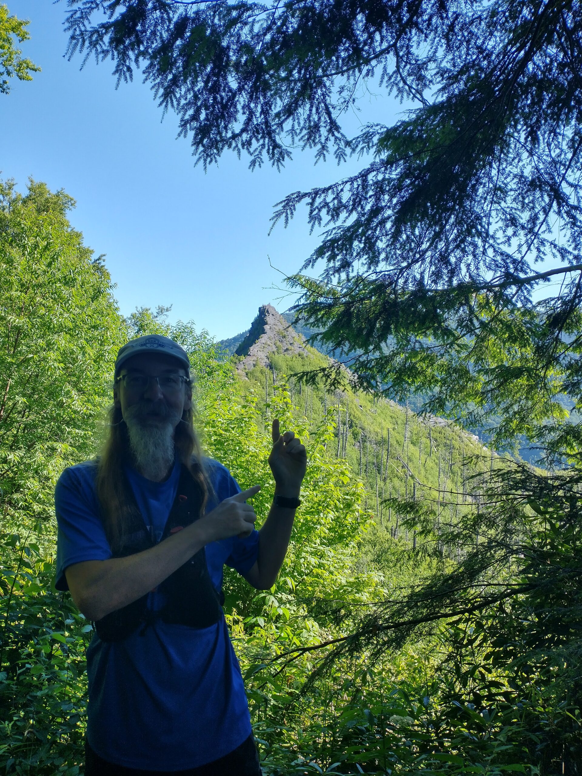
Chimney Tops Trail (Hiking) – 3.75 miles

This has a very small parking lot so we were at the trailhead a little after 8am again.

Chimney Tops trailhead.
Four bridges on the climb up.
Provided these views.
Lots and lots of steps (1300 feet of total elevation gain).
Lead to this view and . . .
“Hey, look! Chimney Tops!” This was as close as we got, but that’s fine. We were done climbing by this point.

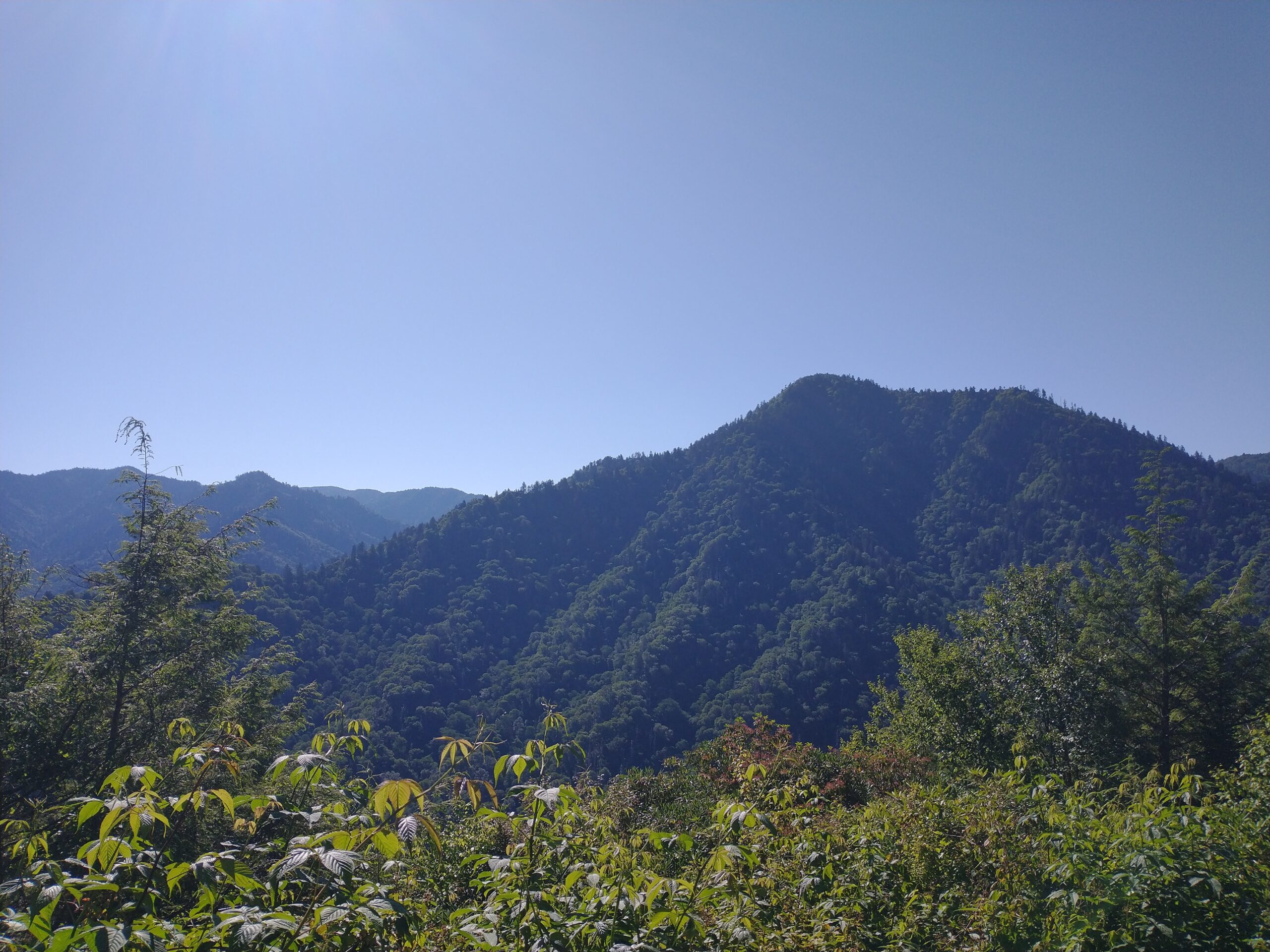
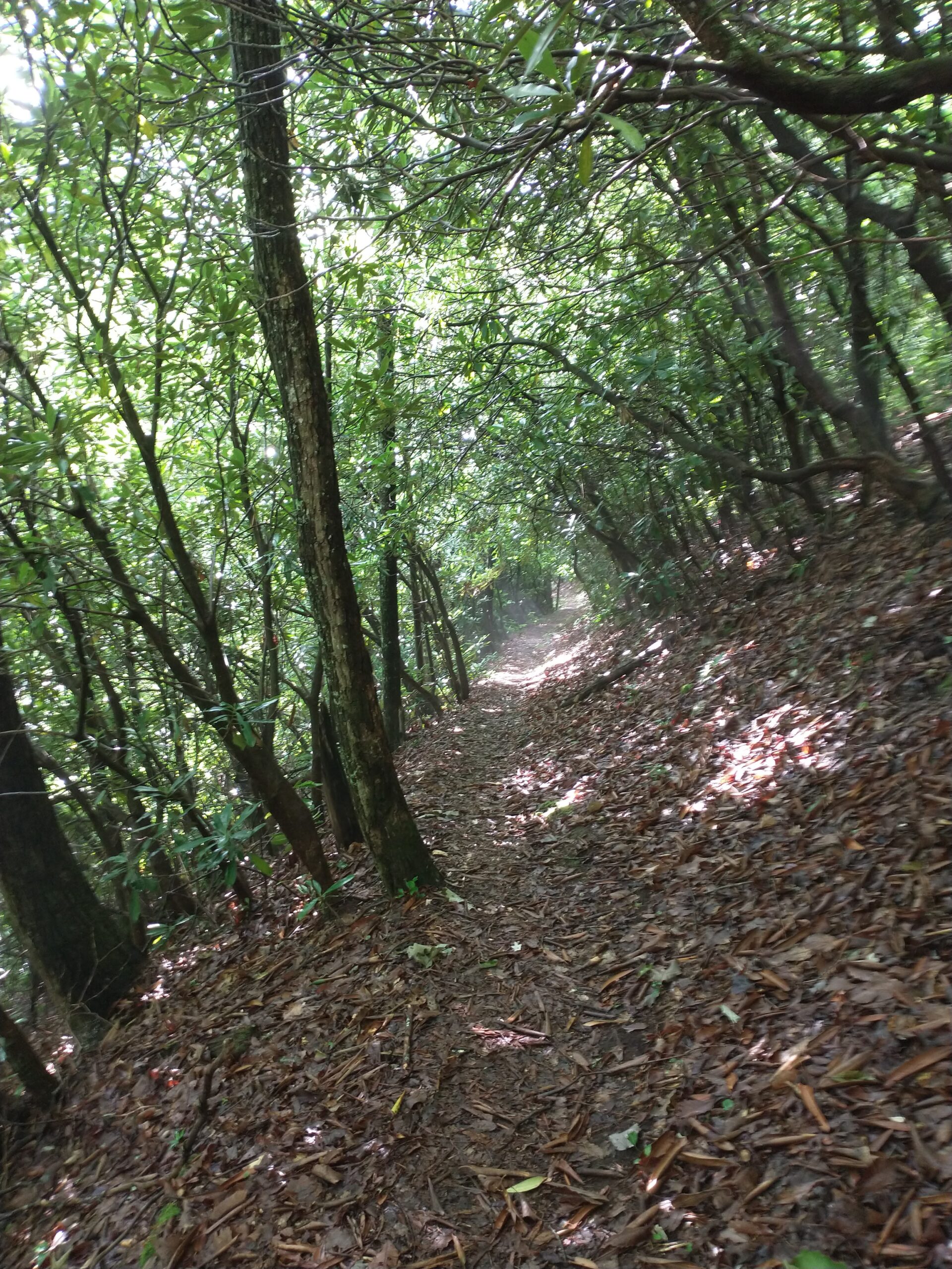
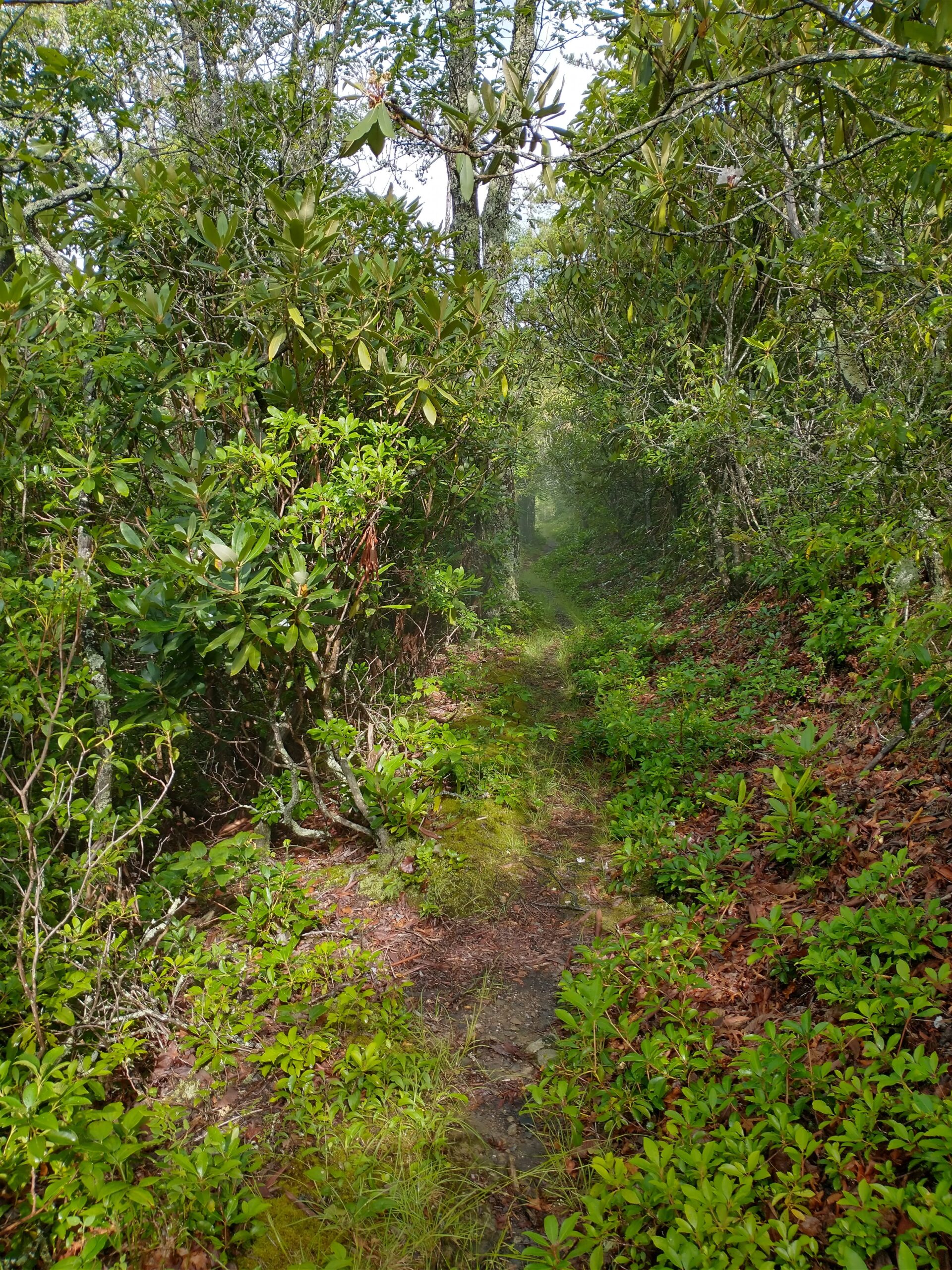
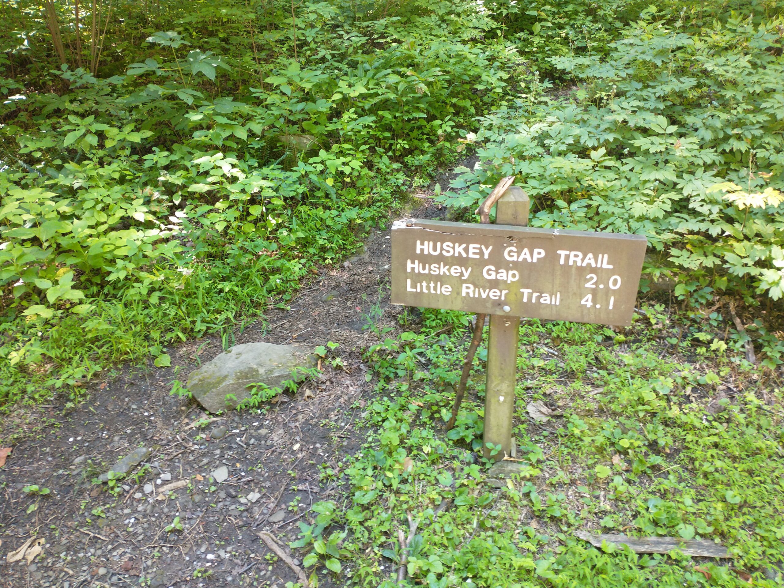
Huskey Gap Trail/Sugarland Mountain Trail (Running) – 6 miles

Trailhead is a couple miles past the Sugarland Visitor’s Center on Newfound Gap Rd.
Two miles and 1200 feet of climbing got me back to the Sugarland Mountain Trail
Left turn.
Lots of gorgeous trails.
I was going to turn around at 3 miles. This met my path at mile 2.95. Haha. Fine, I’ll turn around here.

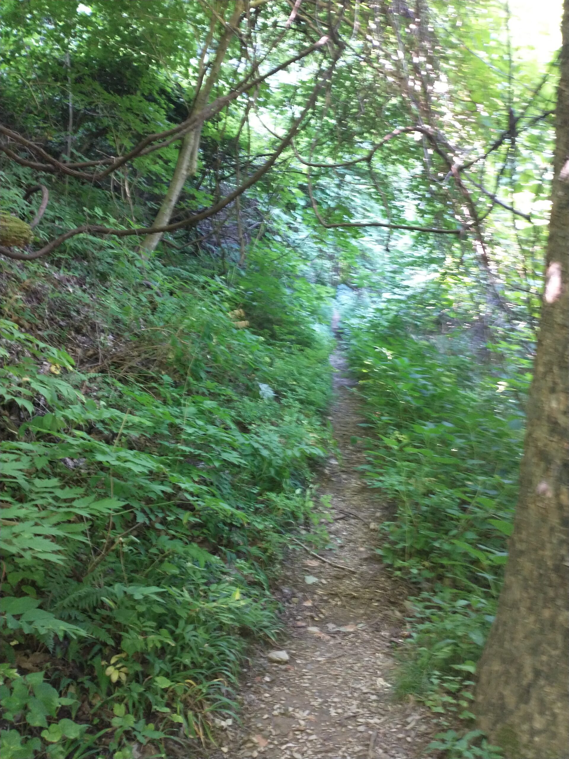
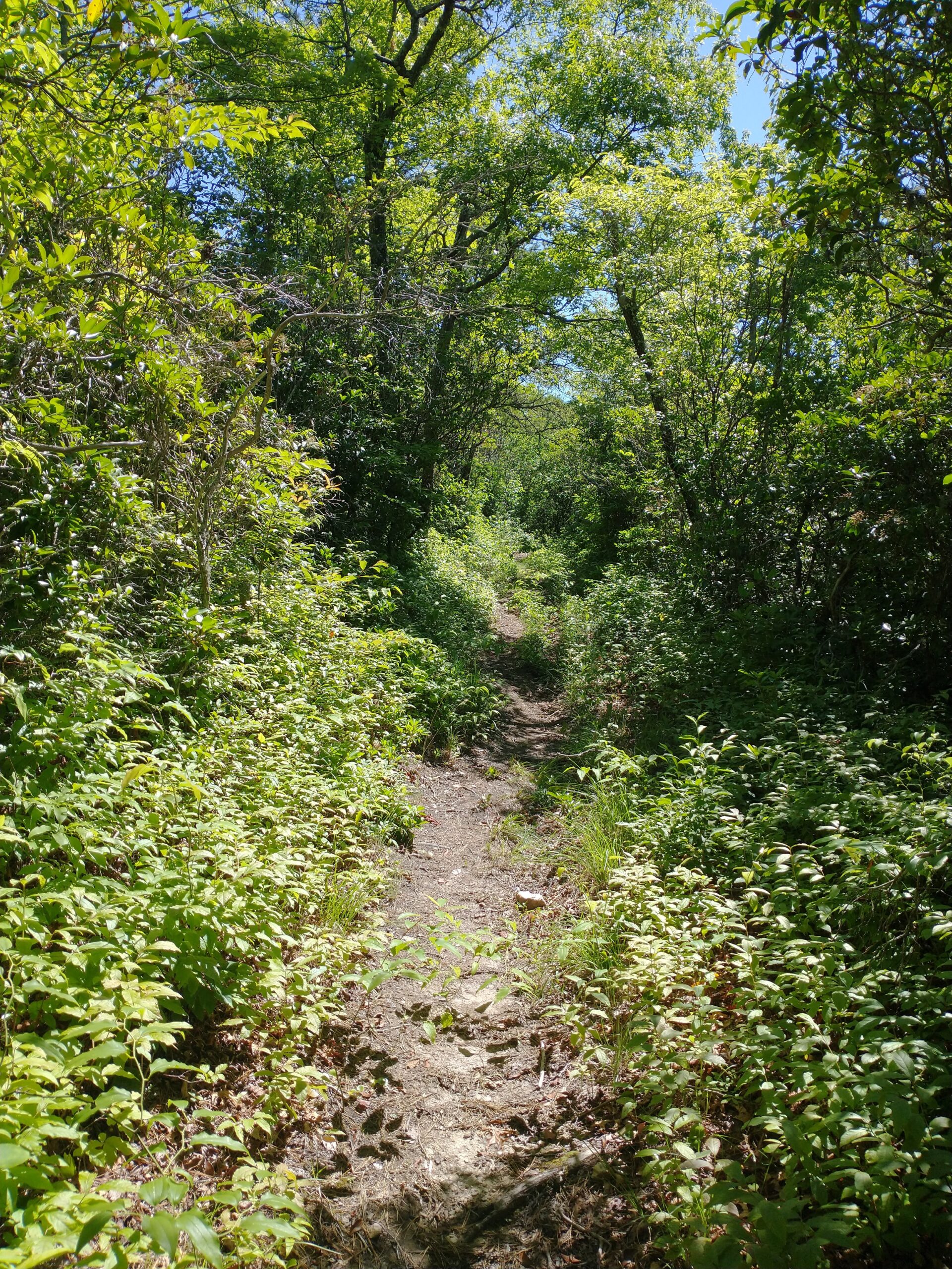
All three of these hikes had a decent number of people on them. The trails I picked to run were the complete opposite. Almost four hours of running and I only saw one couple on my first run. It was amazing to be out by myself cruising along enjoying the scenery. Fingers crossed the next three days can be half this good.