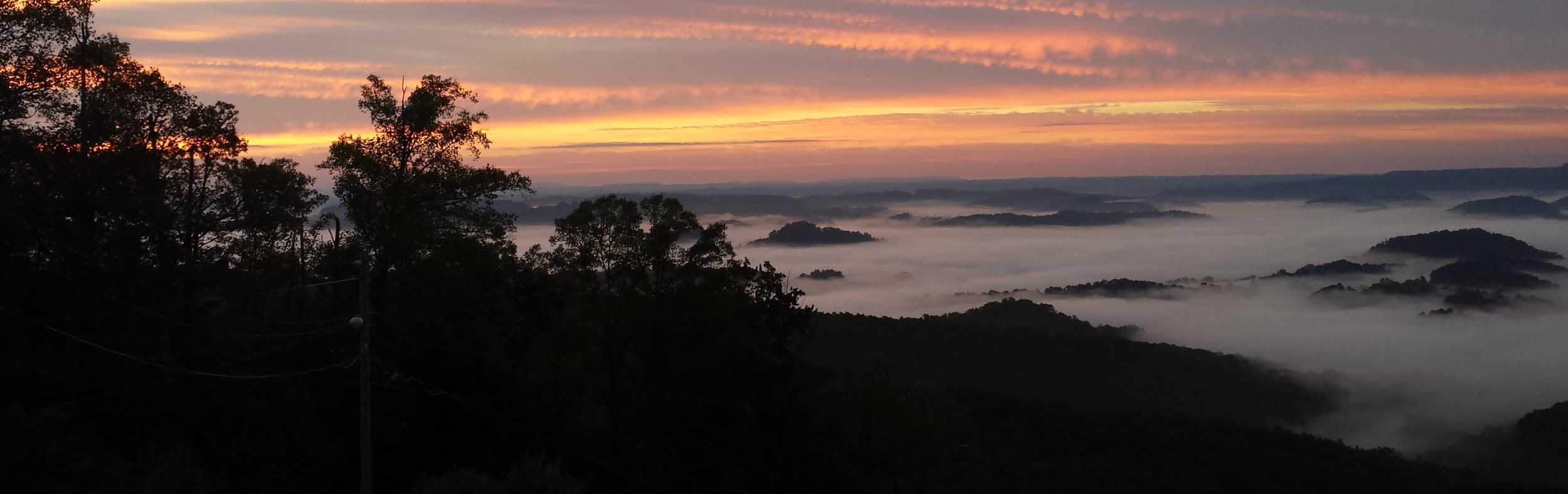
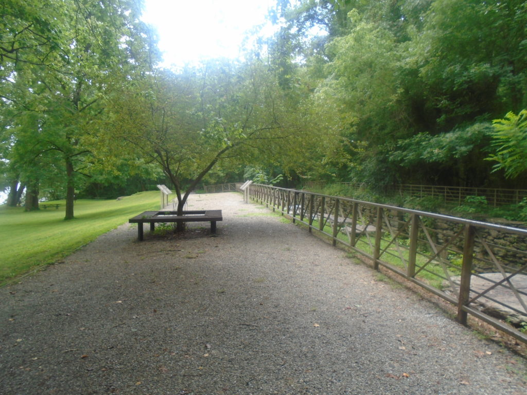
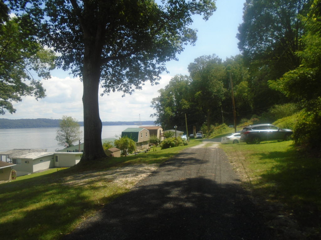
I got out onto the Mason-Dixon Trail Saturday and completed Map 5. This is an almost 30 mile section along the Susquehanna River from Otter Creek Campground to the PA/MD state line. I ran west to east so had my wife drop my off at Otter Creek Campground a little after 7am.
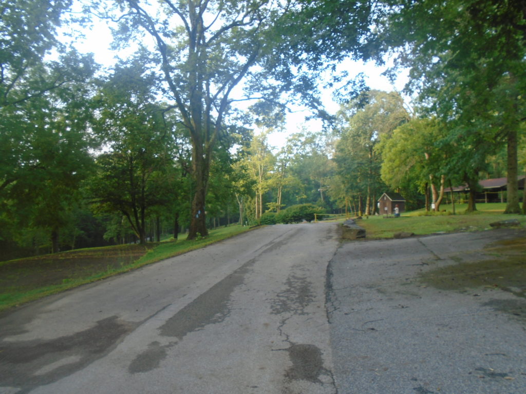
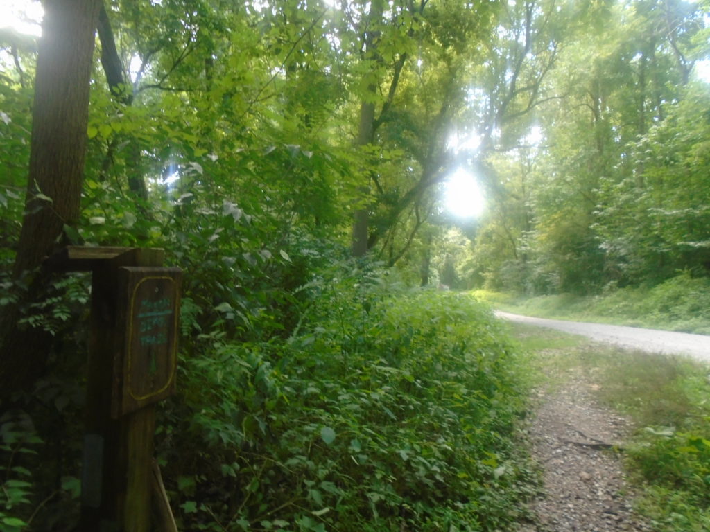
The trail was very well marked in the campground with blue ribbons tied around trees in addition to the normal blue blazes. I did have some problems finding the exit to the campground. There were ribbons tied around 3 trees and I thought this meant turn so I followed the camp road upwards. I turned around when I didn’t see any blazes and tried the other road right next to it. Still no luck so I tried the first road again thinking I may have just missed a blaze. Nope. I backtracked to the 3 ribboned trees and noticed a little sign by the woods and sure enough there was the trail. Not the start I had hoped for.
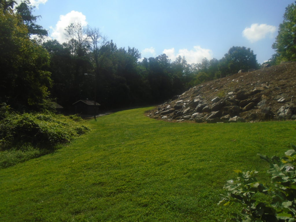
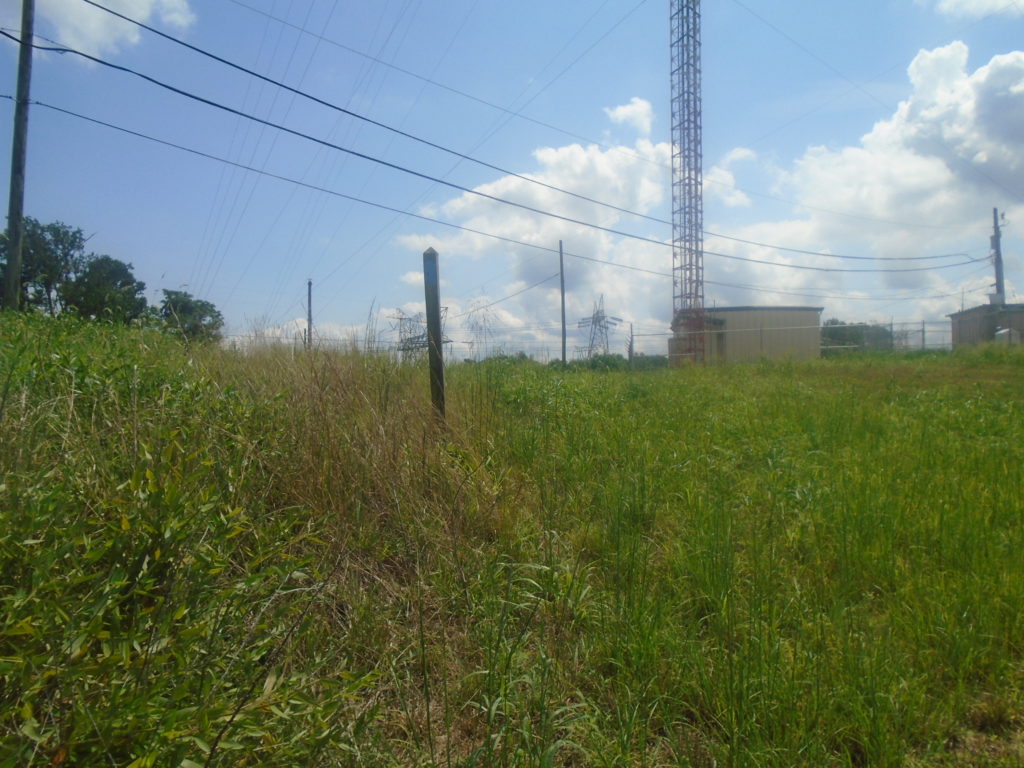
I was a little confused as I started along because the maps had me taking Sawmill Run Road to Furnace Run Road, but I didn’t see any roads. The trails were clearly blazed, however I was wondering if I went out the wrong side of camp.
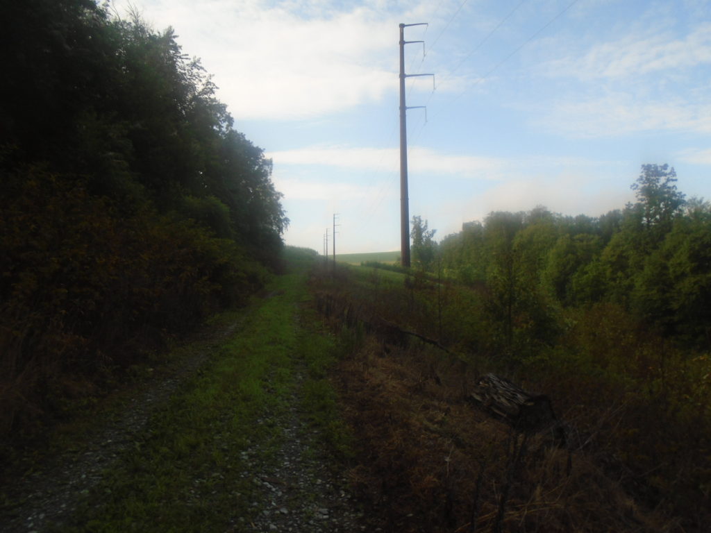
Luckily, the power lines were right were the map said they’d be and I finally started to relax into my run.
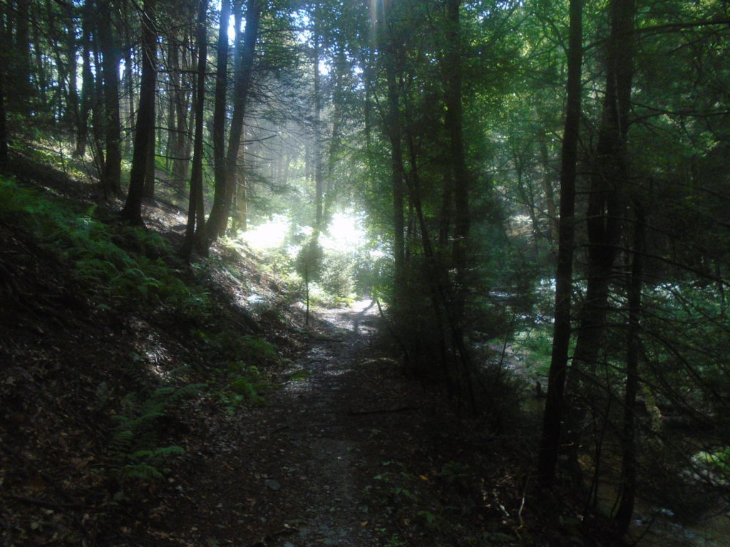
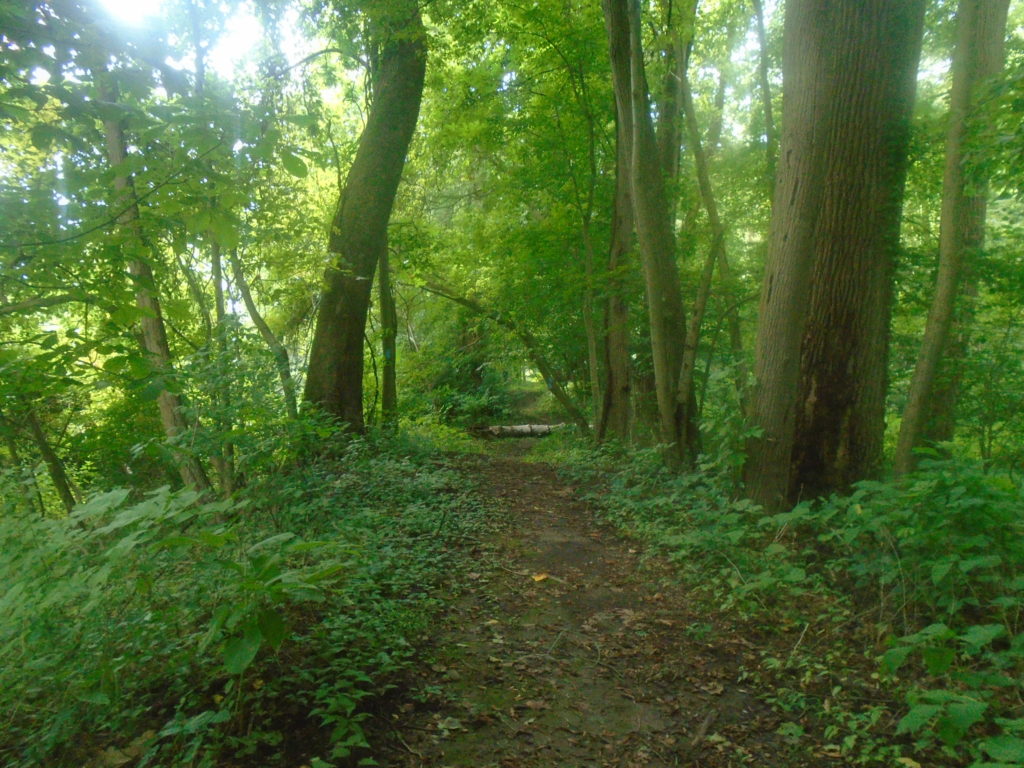
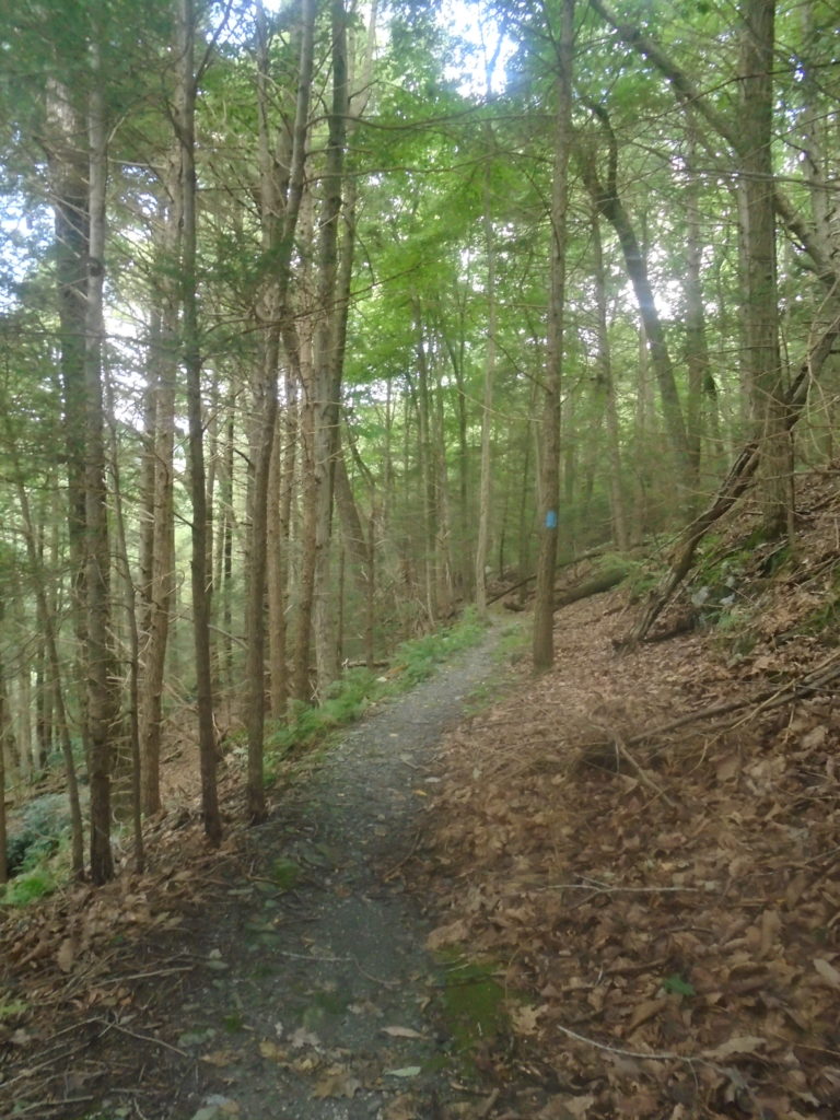
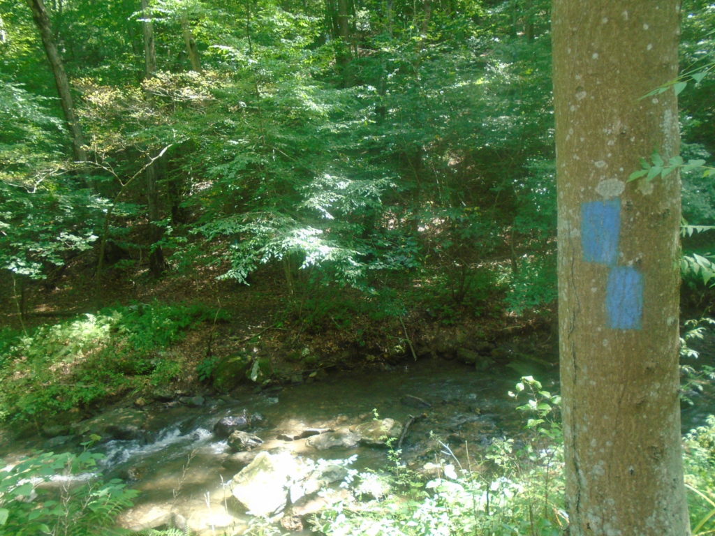
It was right about here where the trail stopped matching up with the map directions. The blazes where clear, however I retraced my steps once as I got a little nervous when I didn’t see a blaze for a while. It’s always such a great relief when you see than next blaze.
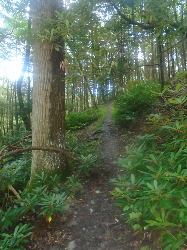
I didn’t take a picture of it (probably because my hands were on my knees), but River Road is straight up. It was very steep in places and felt like it was never going to end. Eventually, it flattens out a bit before intersecting with Slabb road.
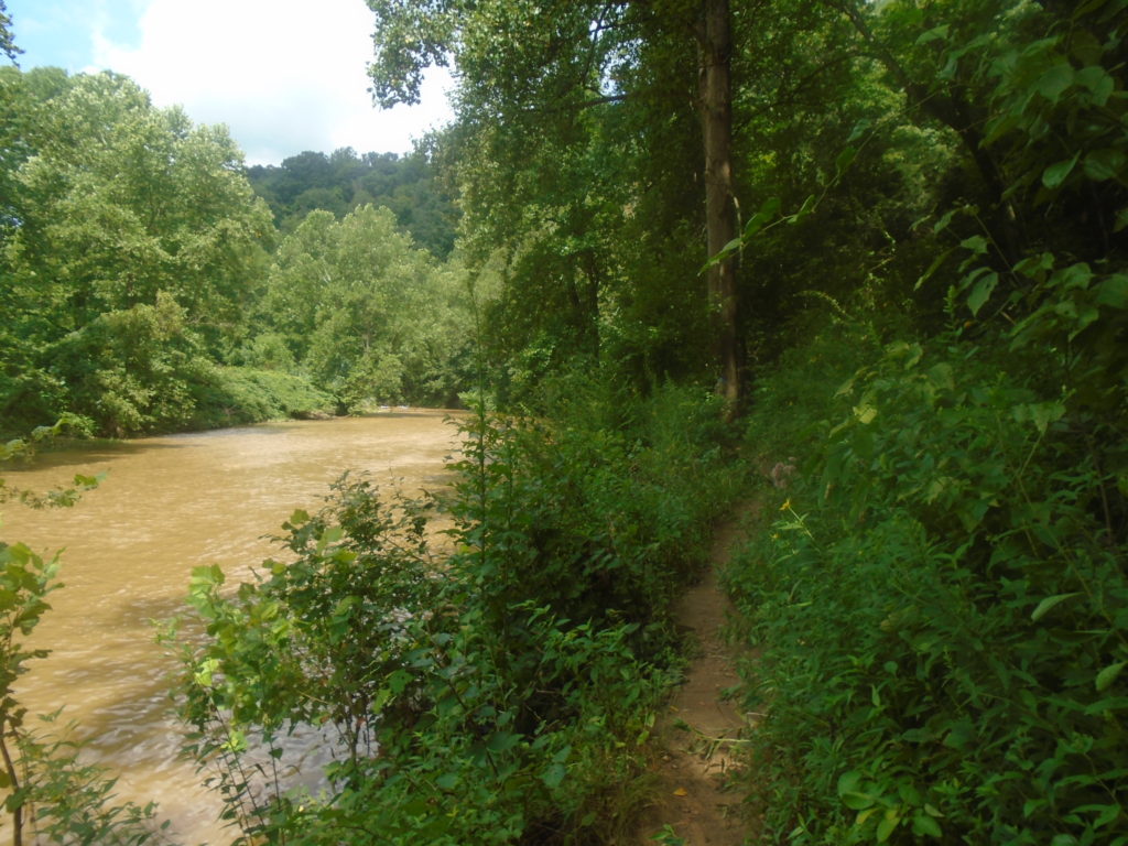
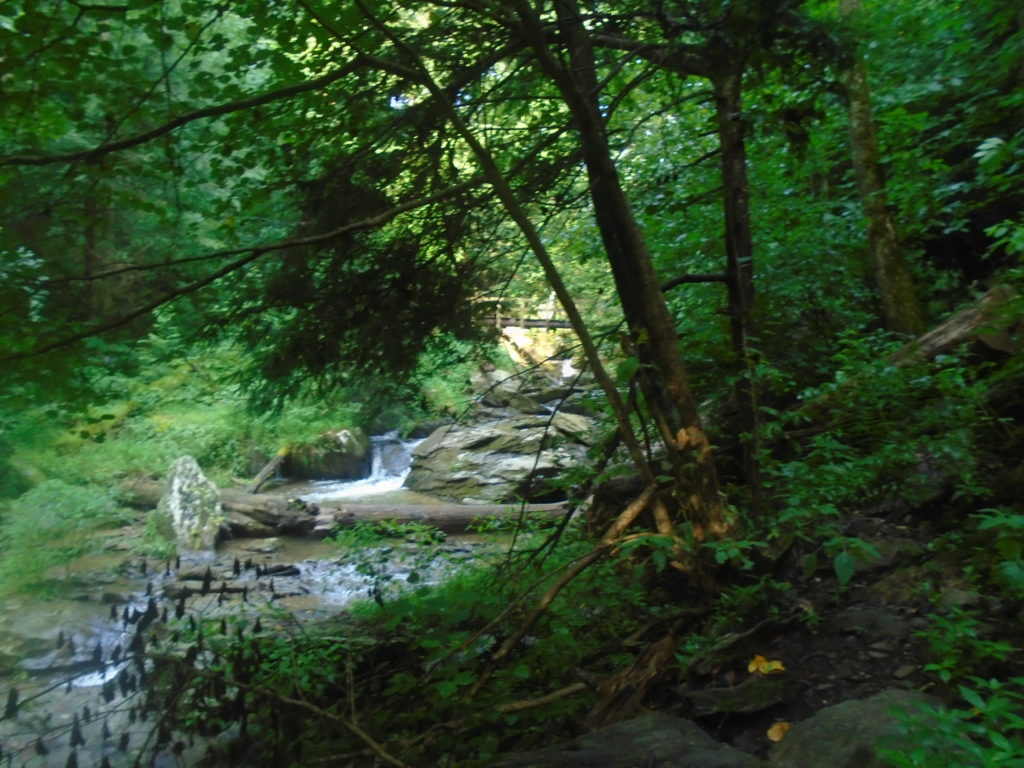
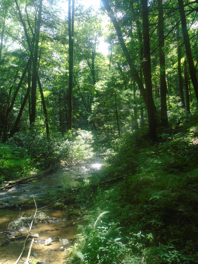
It was right about here where I started running low on fluids. I had brought a water filtration system with me, but decided to wait a bit because Muddy Creek was . . . well, pretty muddy.
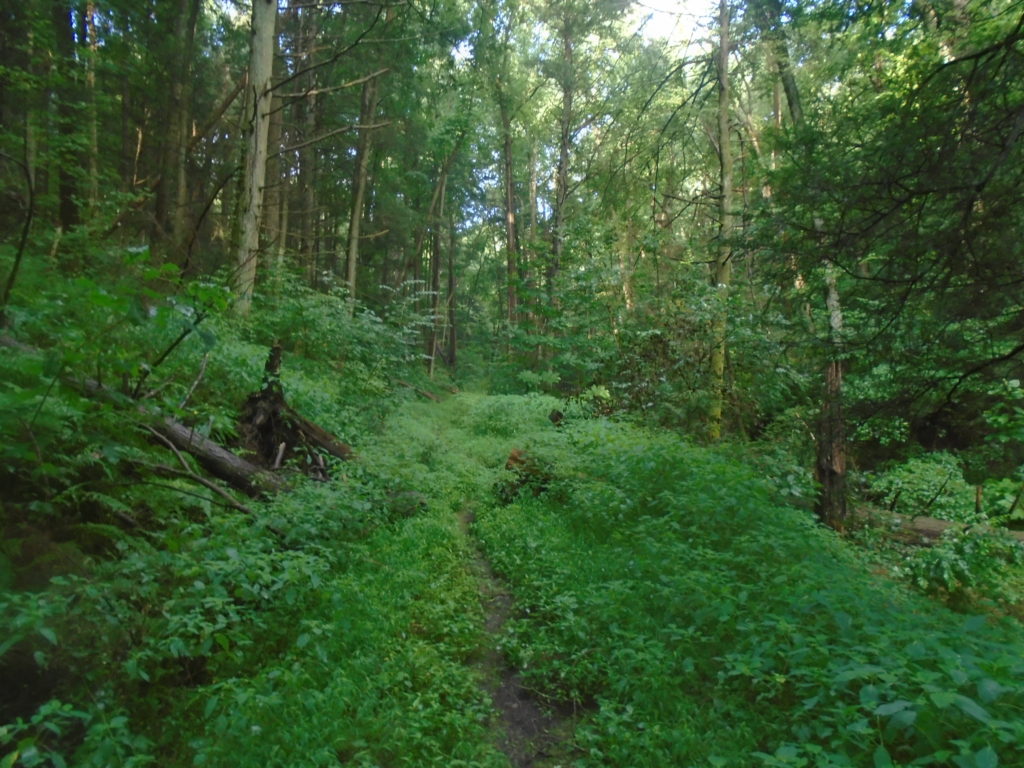
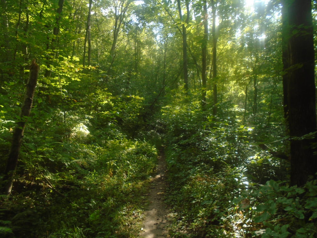
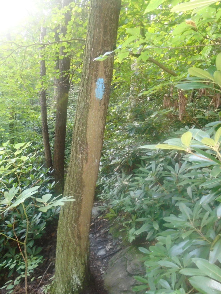
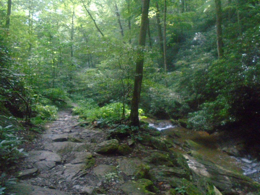
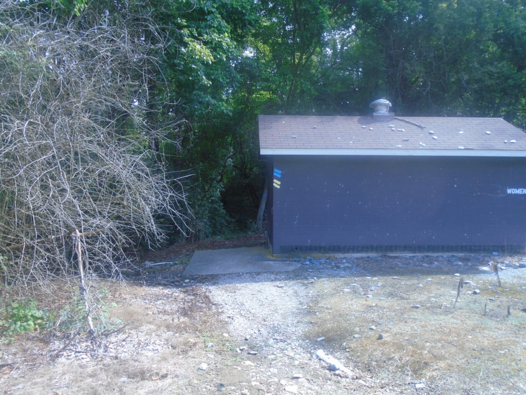
You go between 2 houses straight ahead. The trail past here doesn’t seem to get much traffic as everything was overgrown. It didn’t quite require bushwhacking, but it was a near thing for some short sections.

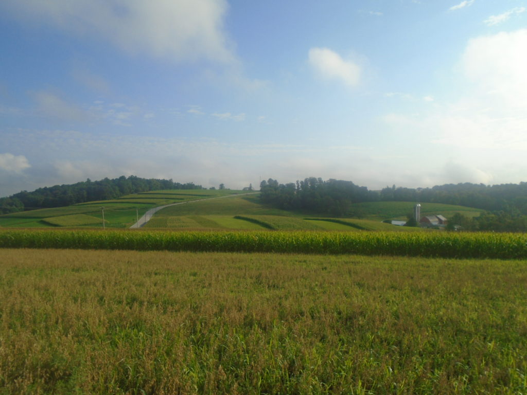
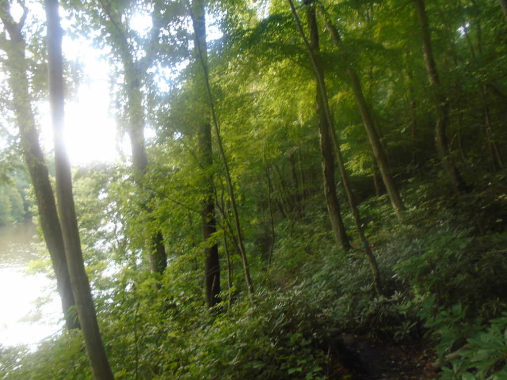
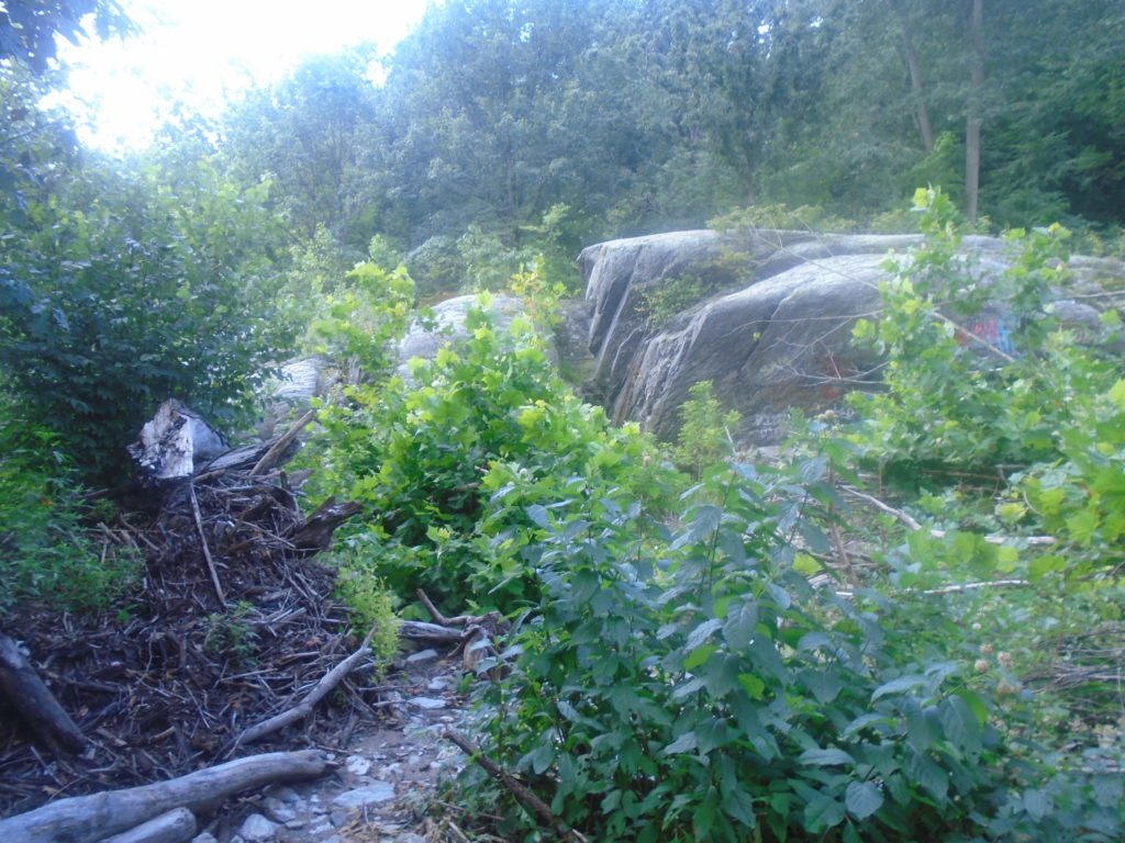
The picture above leads to a short wooded section a couple hundred yards long. It opens into this huge meadow and I was briefly confused on where to go since there was nothing remotely close to a trail around. I headed straight up the middle of the open hill and found my first marker.
The remaining 1.5 miles through Peach Bottom were very well marked. Over marked even. It was clear they don’t want you getting lost and wandering around the property. Don’t forget to call ahead to get permission. It took me less than a minute when I called the day before. I’m guessing they don’t get many requests considering how overgrown the trails looked.
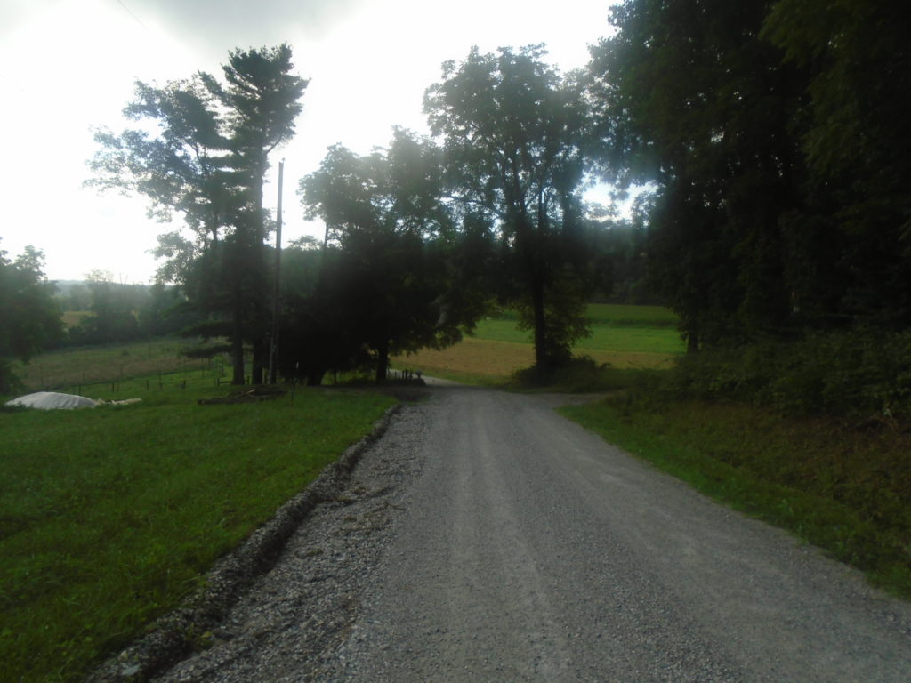
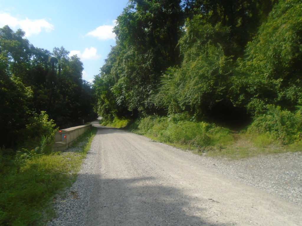
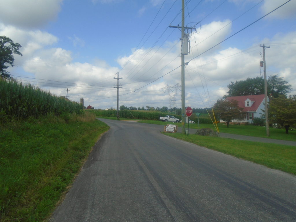
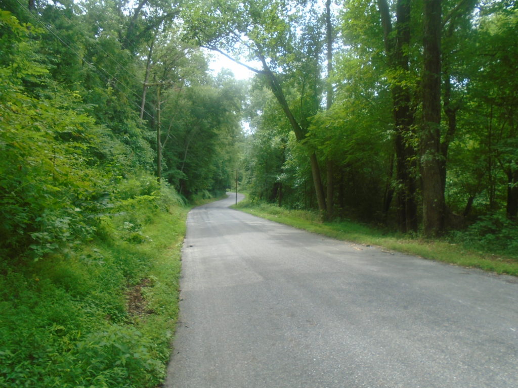
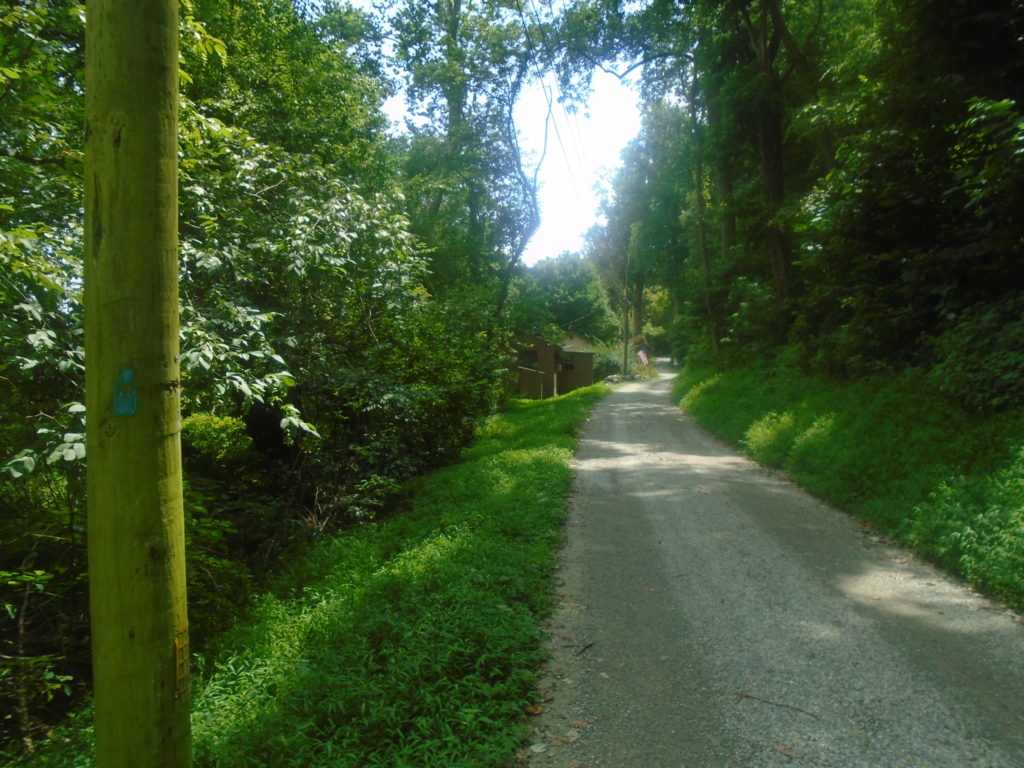
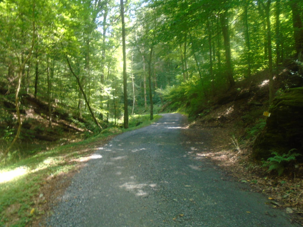
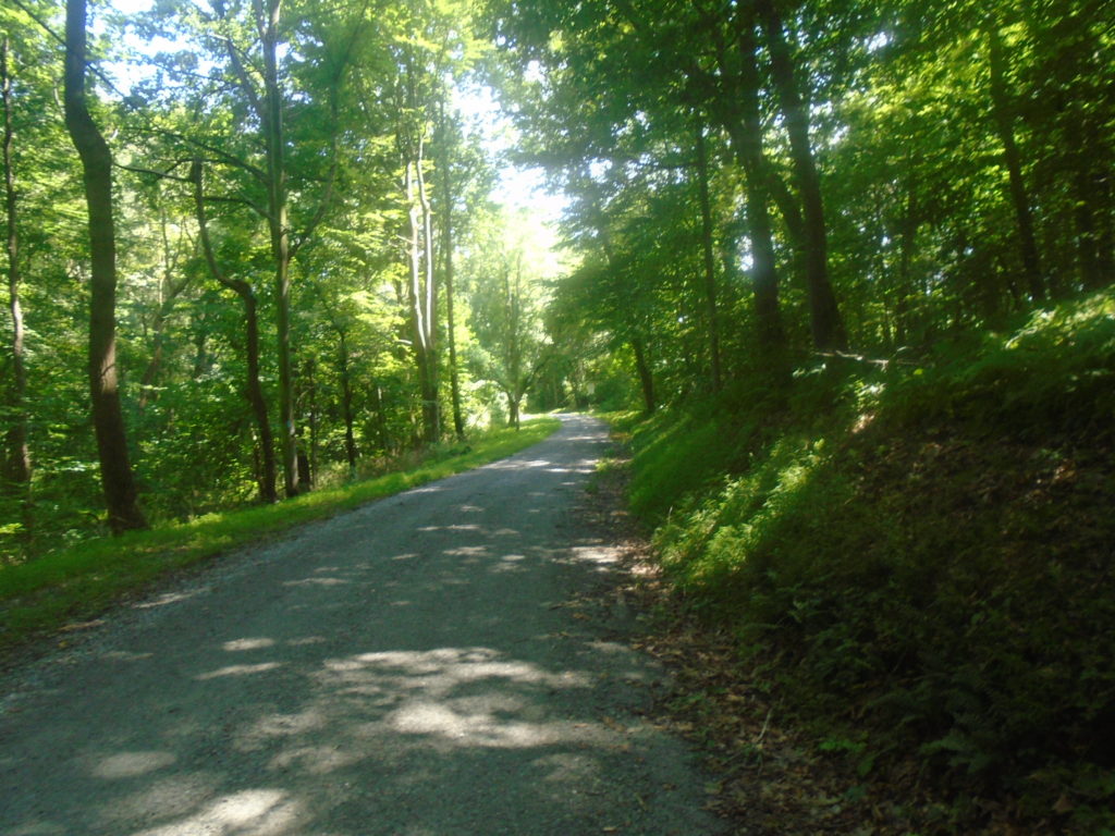
And then it’s 3 miles of roads. . .
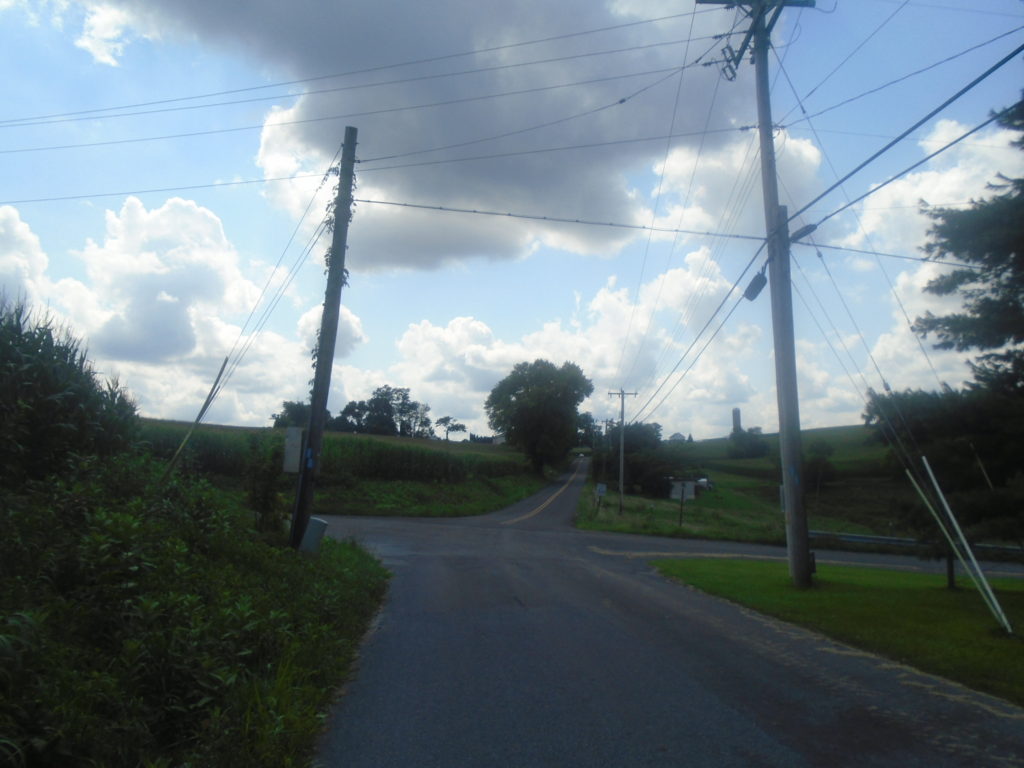
. . . roads. . .
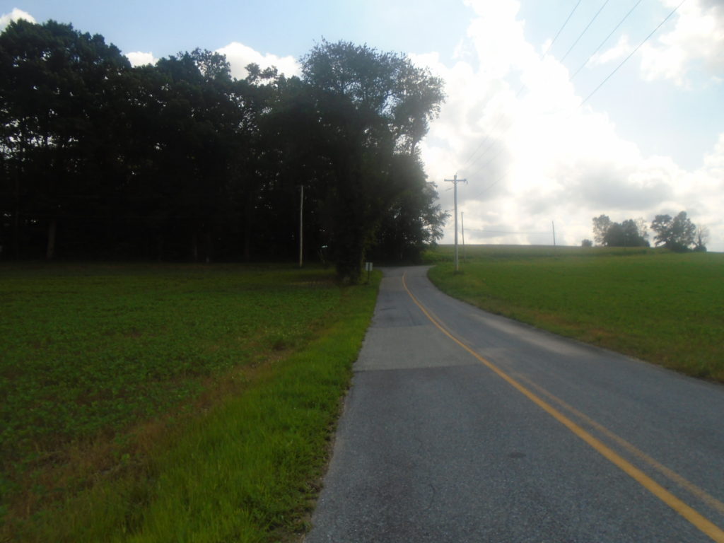
. . . and more roads to finish off the section.
Overall, just another glorious day out on the M-DT. My Garmin measured it at 29.3 miles (vs. 30.4 in the 2016 version of the maps) with 3900 feet of elevation gain and an equal amount of loss. For some reason, this section seemed a little harder than those numbers would suggest. Perhaps that’s what made it so much fun. Only 4 more maps until I finish the entire Mason-Dixon Trail!