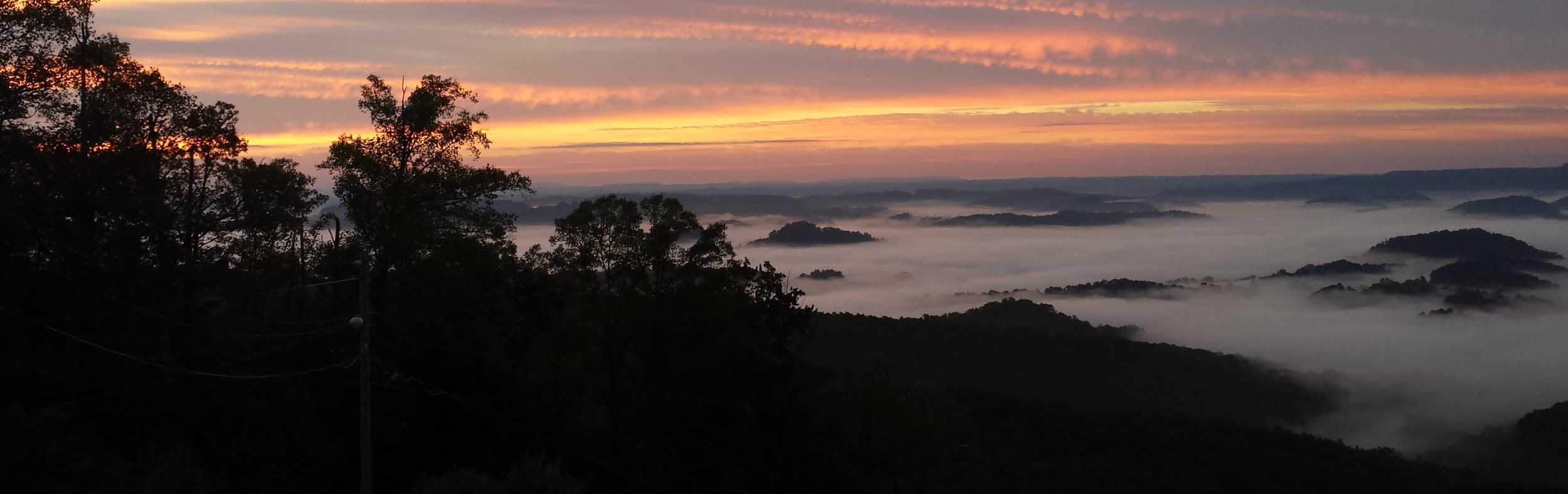
Adventure Time
My son is heading to Philmont scout ranch next summer. This is a trip I did when I was in boy scouts and thoroughly enjoyed. A spot for an adult leader opened and I was initially going to take it, however ended up having second thoughts. You see, when I went, it was my first big trip/adventure without my family. I had gone to camp a number of times, but those were relatively close by while this was on the other side of the country in New Mexico. It ended up being a great growth experience for me and I wanted my son to have something similar without having me constantly looking over his shoulder.
My wife didn’t completely understand this though when I told her. She thought this would be a great opportunity for some father/son time. And she’s right. But this is a once in a lifetime opportunity for him to do this trip, while we can go do father/son trips any time. It wasn’t until she said that’s fine, but asked when we’ll have these adventures that Harry Chapin’s Cat’s in The Craddle began running through my head. Yikes. Good question.
So I started thinking of something we could do together as a big A Adventure this summer. Something that would be brand new for us. Something outside and physical. Something with more than a little uncertainty and the very real possibility of failure.
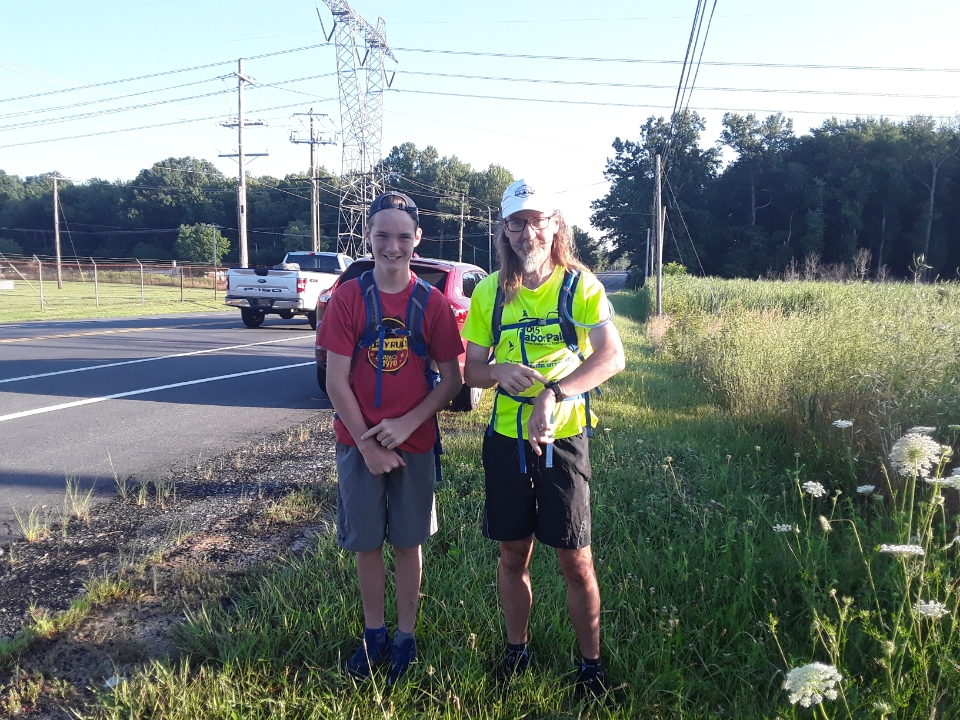
I settled on hiking part of the Mason-Dixon Trail (M-DT). This is a 199 mile trail that stretches from the Appalachian Trail in Cumberland County, PA down into Maryland, through Delaware, and ends in Chadds Ford, PA. We live about 10 minutes from the Eastern Terminus so I planned for us to end there. The M-DT is sectioned up based on maps you can buy with detailed turn by turn directions. Each map covers about 20 miles of the trail. I decided to hike it light with just food, water, and emergency supplies instead of with full camping gear. So this would be a single push instead of breaking it up into multiple days. One map would have been over twice as far as my son’s ever gone, but I wanted for us to really push boundaries so settled on hiking both maps 9 and 10. This would give us 40.8 miles and provided the right level of uncertainty that I was looking for. My wife was only a phone call away if we needed to bail, but hopefully we wouldn’t need a rescue.
Map 9: Pleasant Valley Rd to London Tract Rd – 22.8 miles
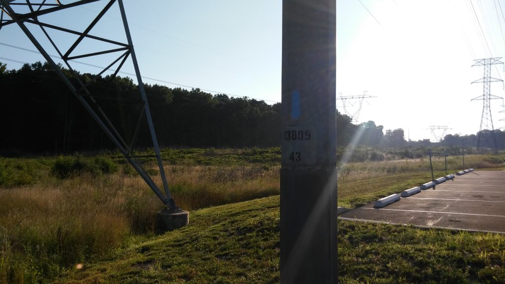
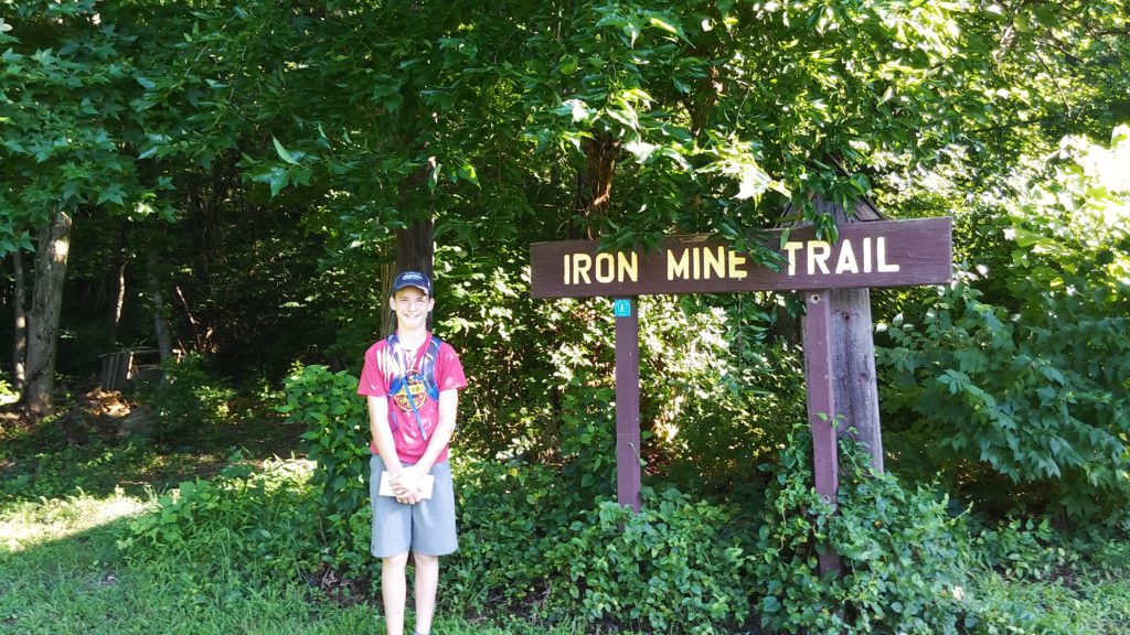
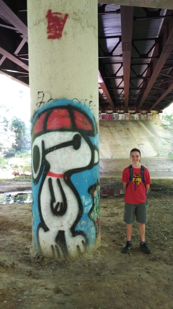
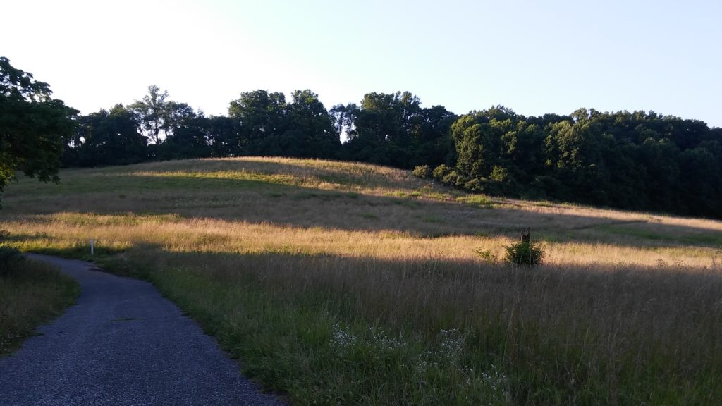
If you’ve done any research on the M-DT, you’ll know it’s not really one trail, but a series of seemingly random trails, roads, and paths linked together by nothing more than blue blazes. We started off just after 7am by walking down powerlines next to this industrial complex. After 4 tenths of a mile, you make a left onto a maintenance road and follow it for a half mile. The trail is well marked with blazes on posts, the powerline towers, and pavement on the street you cross over.
The access road makes a right turn with the powerline right of way and here’s were Dave and I got lost for the first time. The directions have you turning left at a marker post after 0.3 miles and head into the woods. The only thing is there wasn’t a marker post. Eventually we got to the next tower and when we saw no blue blaze, knew we missed the turn somehow. I thought it would be best if we cut straight over to the woods and then backtrack looking for the trail. Well, once we got to the woods, it was very difficult getting through the brush so we decided to cut back over to the maintenance road to head back. After several minutes of slogging through the marshy conditions, we reached the road, and then retraced our steps. Once we found the last blaze, we headed directly to the tree line and searched for the trail. We were looking into the woods for blazes as we walked along and thankfully Dave had the eagle eyes to spot them because I walked right past without seeing the trail.
My guess is this section gets zero foot traffic because the trail was barely discernible. The M-DT organization must know this though as about every third tree had a blaze on it making it very easy to navigate. You get dumped out at a playground then make a left and walk down a sidewalk along Four Seasons Parkway. This takes you to Old Baltimore Pike where you hang a right for 0.4 miles till you get to Iron Hill Museum. The road sections are blazed on street signs and telephone poles. They were typically harder to see on the former since the blue color of the blazes were somewhat close to the grey sign colors. Or at least, that’s what Dave and I thought as we’re both partially color blind. I’m not saying you need perfectly good eyes to find your way, but I’m sure it helps.
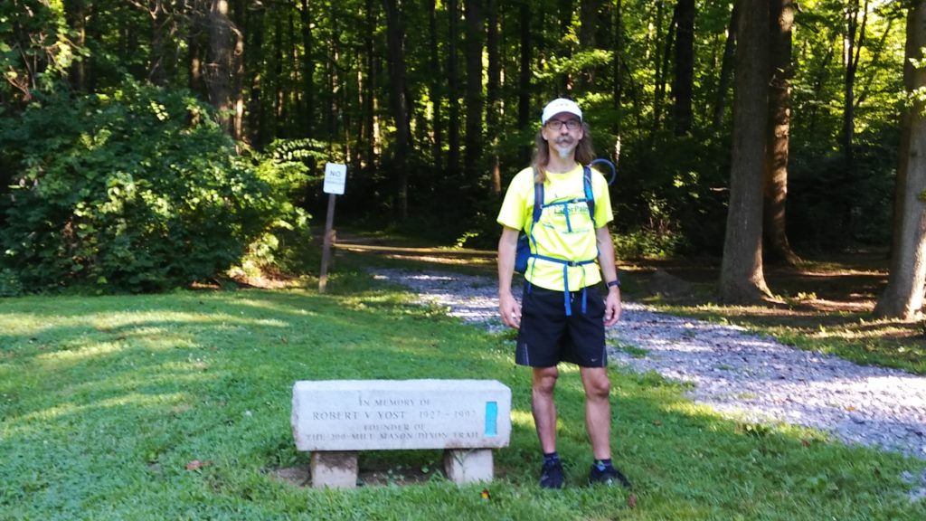
After crossing Old Baltimore Pike, you head down your first smooth, perfectly groomed path. This very easy walk takes you to Iron Hill Park where you head up the road to the memorial marker for Robert Yost who founded the M-DT. We didn’t hear it at the time, but the soundtrack to our hike had just started playing the theme song from Gilligan’s Island (♪A three hour tour♪).
This is where Dave and I got lost for the second and third times. The map directions say proceed into the woods and downhill, which is what we did on the one clear, obvious path ahead of us. We didn’t see any blazes, but kept pushing on regardless. When we reached the bottom and saw a parking lot instead of an “overgrown field” we knew we were off trail (♪The weather started getting rough♪). I compounded our mistake by whipping out my cell phone and looking for Welsh Tract Rd. When we reached a trail intersection, I had us turn left onto it since it was the direction we were supposed to go instead of going all the way back to the last marker we saw (♪The tiny ship was tossed♪). Well, this was a nice trail section that ended up being a big loop. Sigh.
Eventually, we got back to the Yost memorial, hunted around for a minute (really like 10 seconds), and saw the blue blazes off to the right (♪If not for the courage of the fearless crew♪). Down we went. At the bottom of the hill, we reached route 95 and took a right along the fence. We went about a quarter mile before noticing the lack of blazes (♪The Minnow would be lost♪). Out came the phone again and I saw we were heading the wrong direction. You’re supposed to go left at the bottom, not right. I was getting very frustrated at this point as we’ve now added 2 extra miles to a 40.8 mile trip and we hadn’t even gone 4 miles yet. I tried not to let my exasperation show too much and Dave was too kind to call me out.
After we got lost the first time, Dave and I debated how many more times we would get lost during the day. He said three times and I had said five. Well, we had already hit his number and had only covered 10% of our planned distance. This is not a bet I wanted to win, but I was looking like a lock at this point.

Just past the bridge over 95, you turn left into Folk Memorial Park. There was some exercise equipment along the path and Dave was energetic enough to knock out a set on one of them. I hoped he wasn’t gonna tire himself out too much as we still had quite a few miles left to complete.
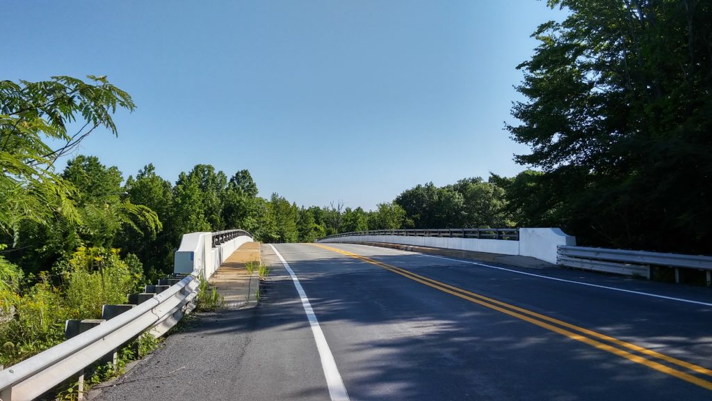
It’s then only a very road short section until you reach Rittenhouse Park. The M-DT spends the next 4.5 miles following along the Christina River, which seemed more like a stream to me. The trails were well marked along through here and the only uncertainty we had was the couple times the trail took you up and over a roadway instead of going underneath the bridges. These trails were very scenic and I was shocked and amazed that we didn’t see anyone else along this stretch.
Eventually, you emerge onto Church Rd. The only major error I saw in Maps 9 and 10 that we were using was the 10.8 mile directions which should be veer right onto Windsor (not Wilson) and then right on Country Club Dr (not straight as it’s a T intersection). The trail was well blazed so it wasn’t really a big deal.
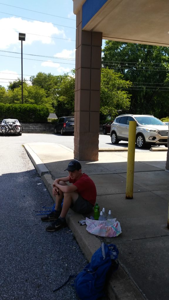
Despite all the road sections, there are really only 2 spots with convenient access to resupply on these two maps. The first is at mile 11.4 of Map 9 where there’s a Rite Aid and Food Lion. We had packed hoagies for lunch, but used the opportunity to grab more fluids (water, Mountain Dew) and some Snickers ice cream bars. I try to keep my diet healthy (Dave not so much), but endurance events are the one time where that all goes out the window as it’s all about getting in as many calories as you can stomach (literally).
After about a 15 minute break, we crossed 896 and went past a swim club on the left where a meet must have been going on given the amount of cars parked on the street. We almost got lost here at the substation as the “well defined” trail was easy to miss. The directions mention the access road, but you’re not even really on it. As soon as you turn off the road, you make an immediate left onto the trail before you even get to the substation.
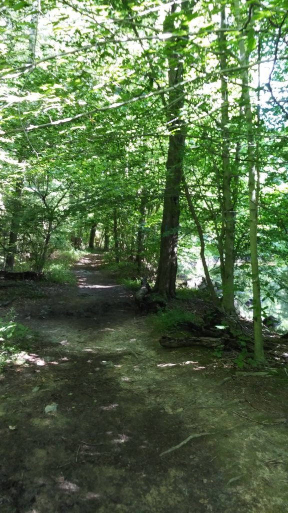
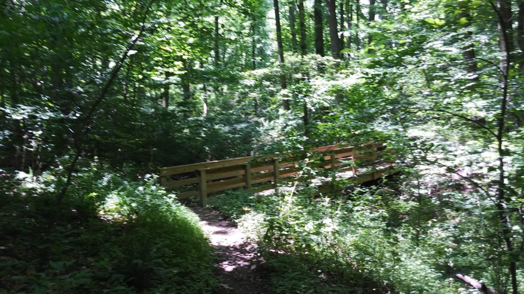
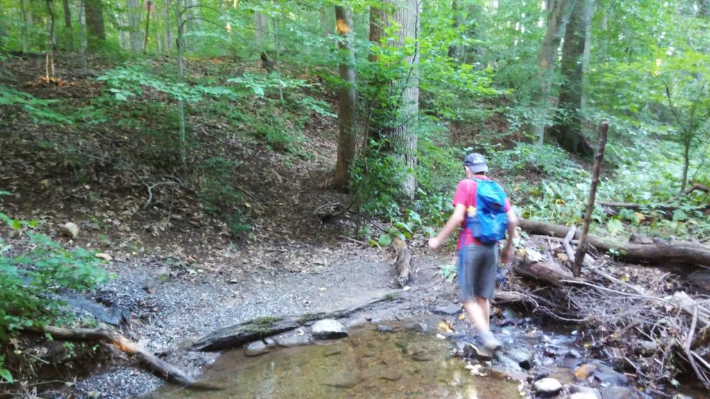
After a short, mostly downhill trail section, you turn left on Creek Rd and follow it for 0.7 miles. This takes you to White Clay Creek Preserve (WCCP). You’ll spend the next 10 miles hiking its trails until you reach the end of Map 9.
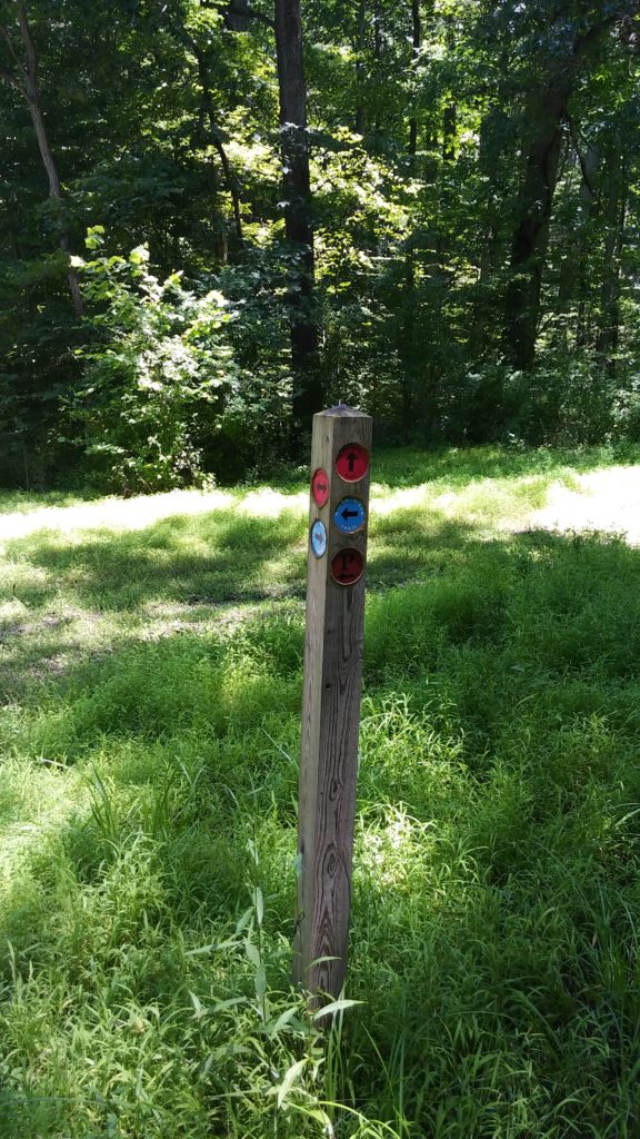
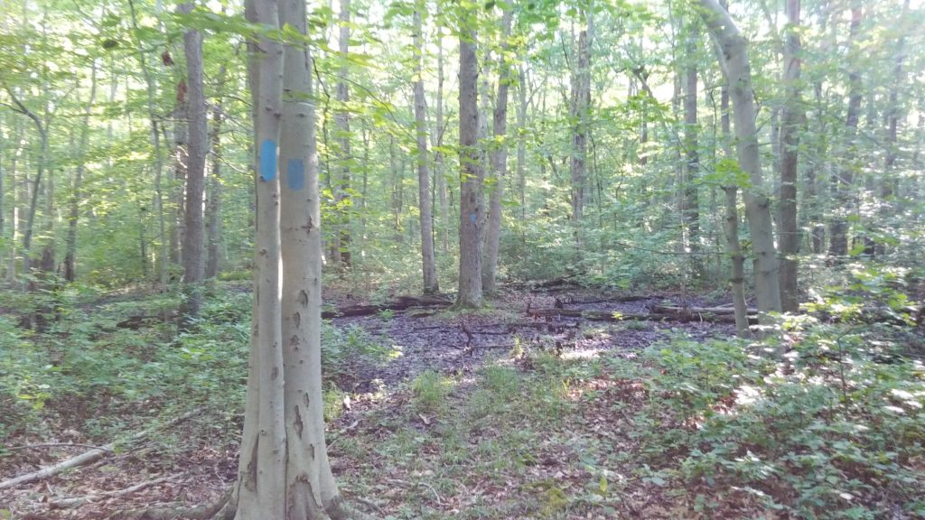
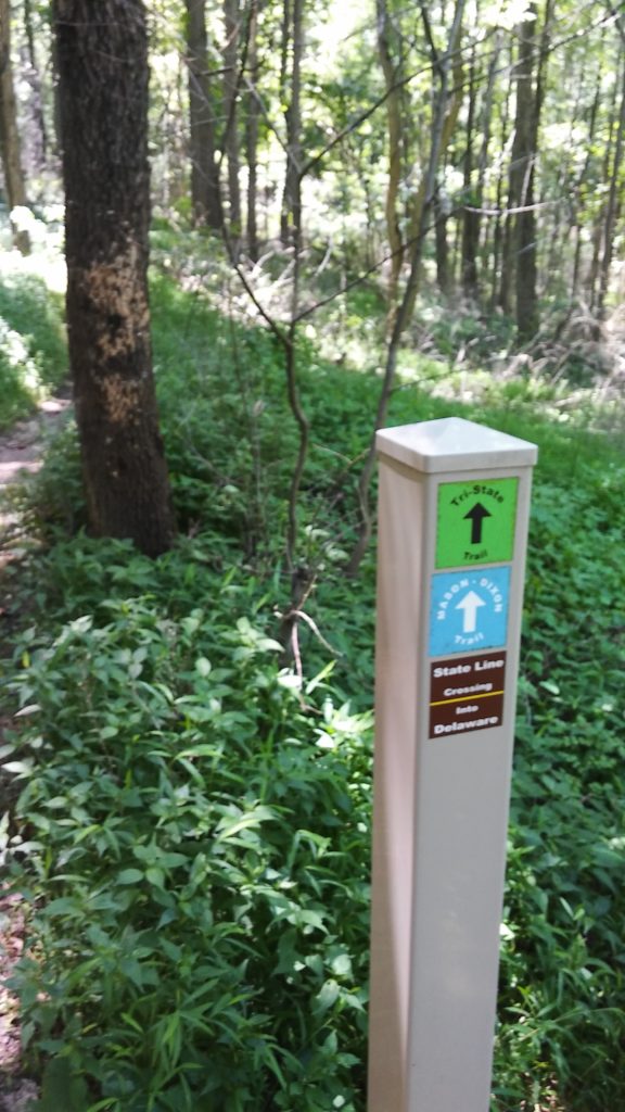
As you can see from the picture above, the M-DT signs are clearly marked within WCCP. The only problem is these are the only markers within the preserve (i.e. no blue blazes) and they are only located at trail junctions. This means there are no confidence blazes once you make your turns so if you’re wrong you have to backtrack to the last trail junction. And several of the trails were mile plus sections. I was hyper paranoid at each intersection and had Dave confirm we picked the right trail.
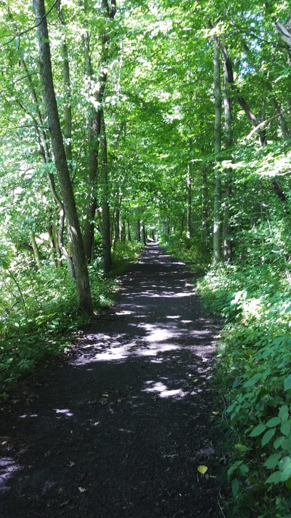
The smaller, single track trails had very little traffic on them. The WCCP must have spent a fortune on all their bridges, because each stream had what looked like brand new bridges spanning them. You don’t have to worry about hopping across rocks to keep your feet dry here.
It was in through here that I started asking Dave how he was holding up more often. We were already over twice the distance he had ever done on foot before (several 10ks plus cross country last fall) and still had many miles left to go. Every time I asked though he would say he felt great and would boast that he wanted to do 80 miles. I highly doubted he would feel that way once we were finished, but happy to hear his spirits were still high.
Looking back on our splits, we were very consistent in knocking out 20-22 minute miles over the course of Map 9. The trails are very flat and my Garmin measured only 1100 feet of elevation gain. This included our bonus mileage in Iron Hill Park, which was hillier than most of the trails so my guess is the total is probably under 1000 feet. Outside of the very beginning and a couple short sections in WCCP, the trails range somewhere between easy and very easy. The worst thing you really have to deal with are some random roots. My favorite trails where the 4.5 miles along the Christina River and the last couple miles leading up to London Tract Rd.
Map 10: London Tract Rd to Chadds Ford (Eastern Terminus) – 18 miles
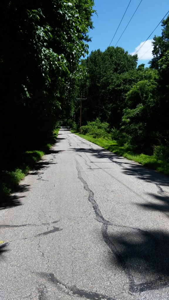
I’m not gonna lie. The beginning of Map 10 sucks. The first half mile on London Tract and Broad Run roads are very nerve-wracking. It has the absolute worst combination of no shoulder, fast moving traffic, and blind turns. The good news is it’s the only section like this and once you’re off it you don’t have to worry about traffic too much. While most of this section of the M-DT is on roads, they’re typically country roads with limited traffic. A byproduct of this is that the navigation is much easier so the risk of getting lost is greatly reduced. Dave took over map duties completely at this point and did a great job keeping us on track. The other thing to note is that you have more elevation gain overall than Map 9 (about 1400 feet), but it doesn’t feel too much more difficult.
What we did have to worry about though was the heat. The trail had been mostly shaded up till this point, however we were now out in the open at the hottest part of the day. Dave had been looking forward to the road sections, however I’m sure they ended up being much less enjoyable than he had imagined.
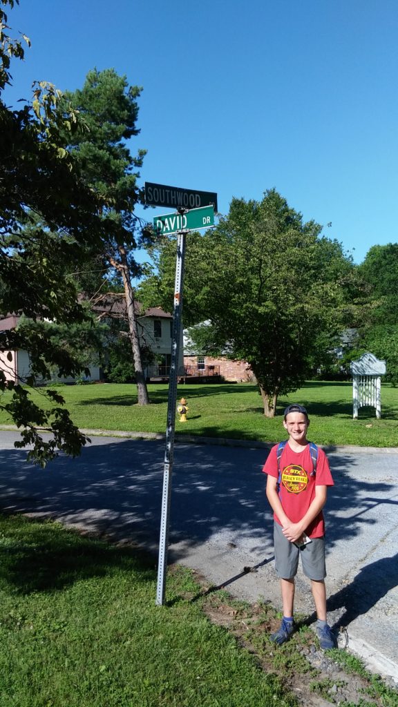
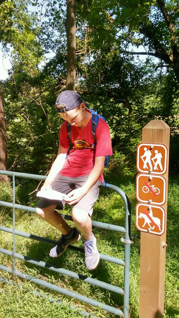
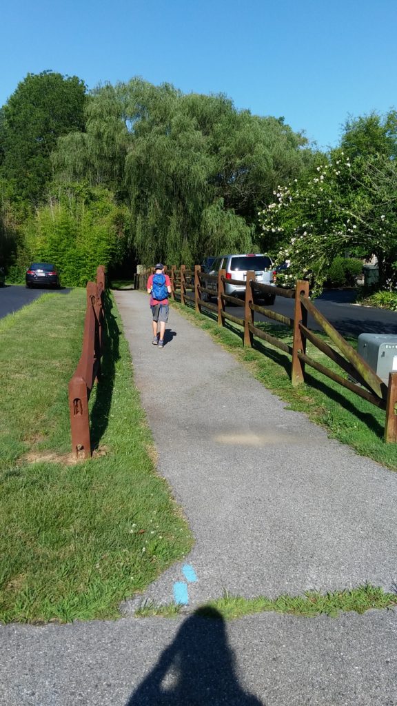
After making the left off Broad Run, you take Buttonwood Rd for 2 miles before making a left on Southwood Rd and continuing on it for another 1.4 miles. You then have a short walk through a neighborhood before making a left between 2 fences (see pic below). This paved path takes you across Vally Rd, next to a couple ball fields, and then dumps you out into the small Swift Park.
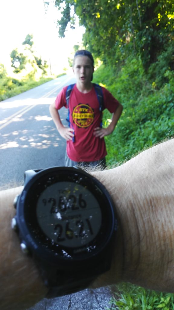
The trail makes a left, however as we’re about to make the turn I notice a Wawa sign only a block away to the right. We were very close to crossing route 41 at mile 5 of Map 10, where I had planned to stop at either the Sheetz or Dunkin Donuts to refuel. This was a much better alternative so we went inside and restocked on water, Mountain Dew, and snacks. The heat was starting to get to Dave at this point and he wasn’t hungry, but I forced him to grab and consume some extra calories here (who doesn’t love Twix ice cream bars?). I had mentioned to Dave when we started out, that our success on the day would largely come down to how well we ate and hydrated. I’d grade us at an A+ for hydration over the course of the hike. We were probably only a B or B- on getting enough calories in though, but that’s usually how it goes. We ended up spending an extra 10-15 minutes here in the shade cooling off and regrouping. As we left the parking lot, my watch beeped showing 30 miles which meant we “only” had 13 miles remaining.
I took navigation duties back over at this point so Dave could focus on the important things like putting one foot in front of the other. After crossing route 41 on Valley Rd, you hang a right on Old Wilmington after 0.3 miles then a left on Meeting House. You pass a middle school on your right and then make a right on Auburn Mill Rd which you’re on for almost a mile before it Ts into Benge Rd. You’re only on here for 0.2 miles before you get to Auburn Heights State Park.
The next 2 miles are on trails. While there are some blue blazes along through here, it would have been impossible to find our way through without the maps. You’re on this large gravel road for the first half mile before making a right turn down a mowed path into the field. While there is a marker post at this turn, I didn’t see any blazes or M-DT signs. You descend a decent hill and enter State Line Woods Preserve at the tree line.
Once into the woods, the trails are very well blazed for the next half mile. The only problem is they are somewhat faded and the light was starting to fade as the sun had just set. Upon exiting the woods, you follow the path around till you get to the parking lot. We had been here for a race a couple years back so the area was a little familiar. This didn’t seem to help much once we reached the parking lot. We saw the marker post on the left edge of the trail half buried in brush fairly easily. It had us turning right so we continued on into the parking lot looking for the next blaze. Dave sat down while I looked left, right, up, down and over yonder for where to go next. I’m looking at the map which says we’re supposed to follow the north boundary. Like I can find north in the fading light after 12+ hours of being on the move. [aside: it wasn’t until the next day that I remembered I have a compass on my Garmin. Head smack!]
Eventually, I remembered what you’re supposed to do in these situations. So I walked over and stood next the last marker post which said to turn right, turned right, and . . . stared straight at another marker post about 10 feet away. Sigh. This one said to turn right as well so you end up almost doing a complete 180 to follow the huge trail off into the park. There’s another marker a couple hundred yards away, but the rest of the time you’re just walking around these huge meadows. The map directions are good enough to get you around though 9.7mi direction is really closer to “Make a left at next intersection, stay straight for 50 feet then enter woods to the right.”
You follow counterclockwise around the next meadow area and exit right into the woods about halfway around. You’re in these woods for about 8 steps before you reach the pipeline right of way where you make a left and then basically walk through 2 people’s yards. Um, don’t mind us.
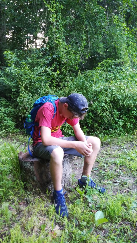
The pipeline right of way takes you to Fassett Rd (looks like a driveway) and then you make a left on Nine Gates Rd after about 3 houses. A right on Old Kennett Pike (0.4mi), then left on Burnt Mill (0.1mi), and left again at Spring Mill after 1.1 miles. We started taking more and more rest breaks as we went along and right before Spring Mill Dave said his stomach wasn’t feeling good. We sat down on a little hill at this intersection and after a couple minutes, I asked if he wanted me to call his mom to pick us up. He was obviously in quite a bit of discomfort here at mile 37 (my heart was breaking more than a little bit) and he needed to know this was an option. He very quickly said he was fine, stood up, and we continued on.
It was basically dark at 9pm as we made the next right onto Fairville Rd. With a little over 5 miles left, it was time to make a decision. While the M-DT takes a couple more twists and turns on some trails, I knew that Fairville Rd would also take us straight to the end. I was not very confident that I could navigate this section without getting lost (i.e. “turn left and head toward multi-trunk tree”). Neither Dave or I was in any condition to roam around the countryside for another 3 or 4 hours so I decided we would make things easy easier for us and just cruise four more road miles. With the bonus mileage from earlier, we would still end up with 41.5 miles on the day or a bit more than the 40.8 miles between Maps 9 and 10.
So that’s what we did. This was almost all a gentle downhill and while our total splits were in the 20-25 minute range due to our periodic rest breaks, our moving pace was an exceptionally solid 18-21 minutes. I kept my headlamp off for the first mile or so except when the random car would drive by. We didn’t need it and it was nice to walk along in the dark. I eventually changed my mind because without a light it was impossible to judge distance so it felt like we weren’t making any forward progress. Once I turned it on, we could see trees and reflections off signs up ahead which gave us a targets to hike towards.
The M-DT rerouted the terminus off Fairville a while back and the last quarter mile is now a new trail section. I kept my eyes open for this as I really wanted us to end at the end. I found the entrance just past the railroad tracks at Chadds Ford Industrial and Business Center and led Dave back into the woods for the last time. While the trail was completely overgrown, it was well blazed with a marker post every couple hundred feet. You would take a little leap of faith at each turn and then be rewarded by seeing another post after about 50 feet.
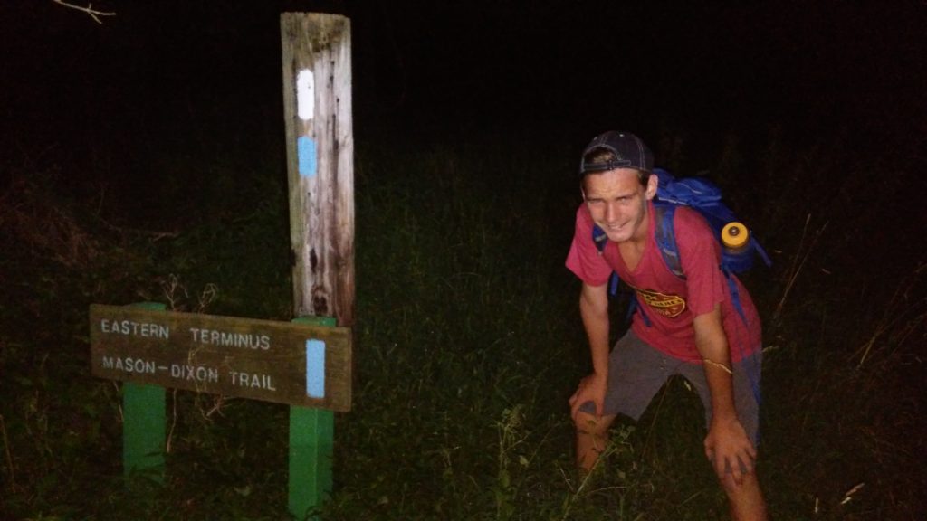
And after what seemed like forever (but was only really 7 minutes), we reached the wooden gate and the Eastern Terminus of the M-DT. I took a quick picture and then we walked 20 feet down route 1 to the stop light, crossed into Chadds Ford Elementary School’s parking lot, and got into my wife’s car for the short ride home.
We set out Saturday morning to have an Adventure and that’s exactly what we had. I’m sure I could have come up with something else that wouldn’t have taken us 15.5 hours to complete, but unfortunately for my son that’s not the way I’m wired. There are days were I feel sorry that he has to put up with me and I’m sure Dave shared that thought at points during our hike. I’m not normal and hopefully he can accept that. There are many things that I can’t give him, however the one thing I can do is teach him that his capabilities lie beyond his imagination. I have no idea how far this lesson will take him in life, but I’m willing to bet 41.5 miles is just the beginning.
Advice for M-DT Hikers
- Buy the trail maps. While the trails are mostly well blazed, there are some parts where it’s difficult to know exactly where you should be going. You won’t find a better value for $16.
- Don’t trust the trail maps completely. The directions are helpful, but we found a couple small errors. Plus trusting the directions too much can make it easier to go off course as unintuitive as they may seem.
- Bring a phone with GPS. Just in case.
- Be open minded. This is not like most “trails”. It’s length, patchwork construction, continual evolution, and varied terrain make for a different experience. If you need to have pristine trails next to mountain streams or a marker every 10 feet, then this obviously isn’t for you. However if you’re up for a little adventure (or maybe even a big one), then I couldn’t recommend the M-DT highly enough. I can’t wait to check out the other sections in the future. Maybe next time I’ll even bring my wife.
Thanks
Finally, a huge word of thanks to the entire M-DT organization and all the volunteers who keep this trail maintained. If it wasn’t for your efforts, my son and I wouldn’t have been able to have this most excellent Adventure.
2 thoughts on “Father / Son Adventure – 2019”
Comments are closed.