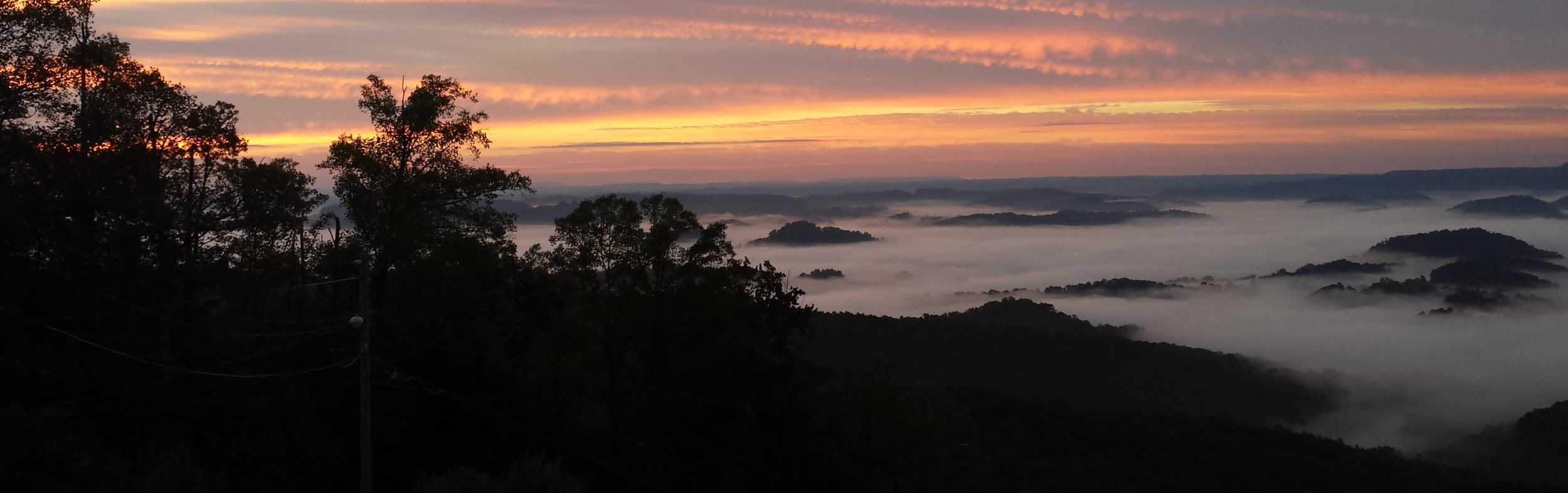
I was able to knock out Map 6 of the Mason-Dixon Trail Saturday along with the beginning of Map 7 heading into Havre de Grace. This is the third time I’ve been out on the M-DT with the first being last summer with my son and then earlier this spring. My goal is to section run/hike the entire trail so this gets me about halfway done.
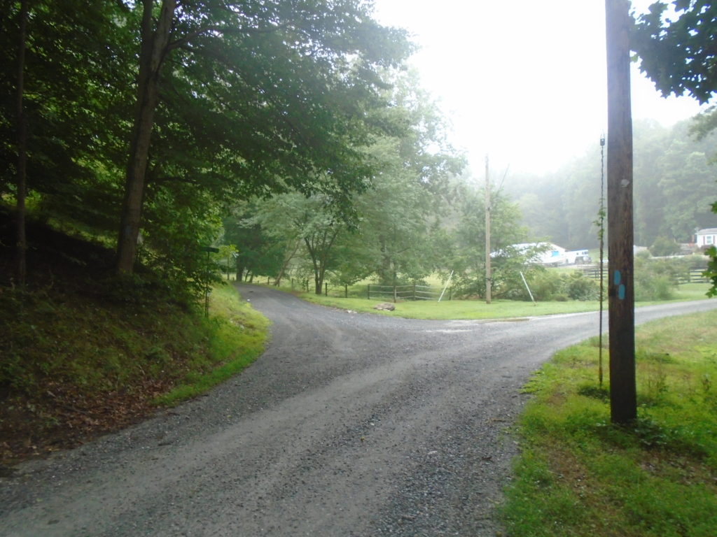
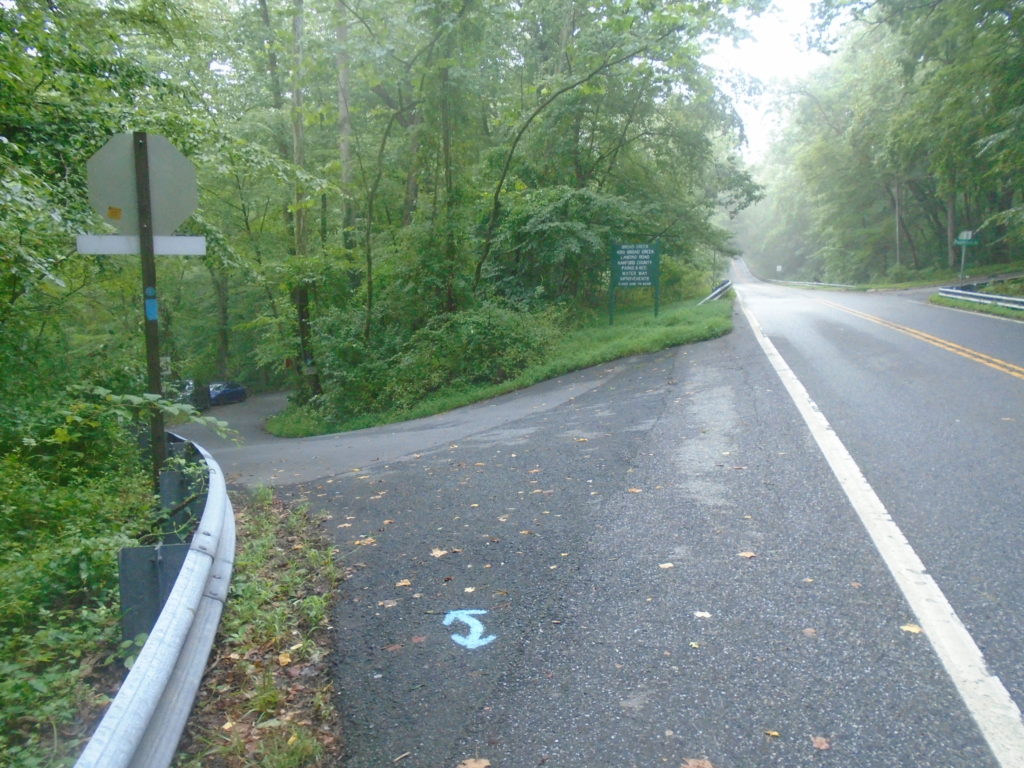
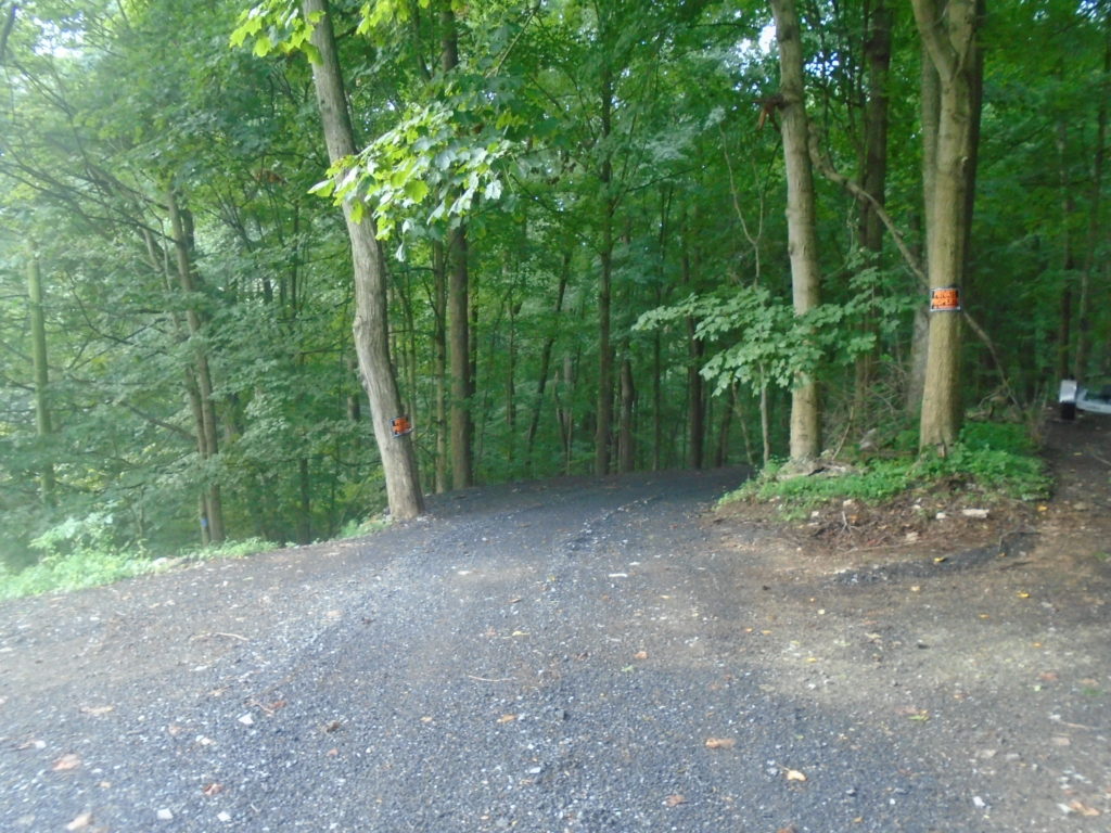
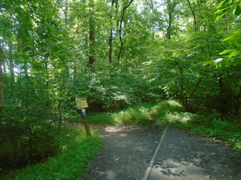
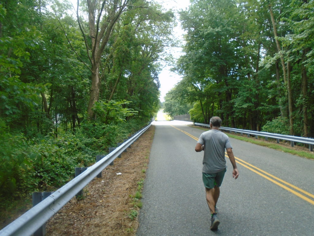
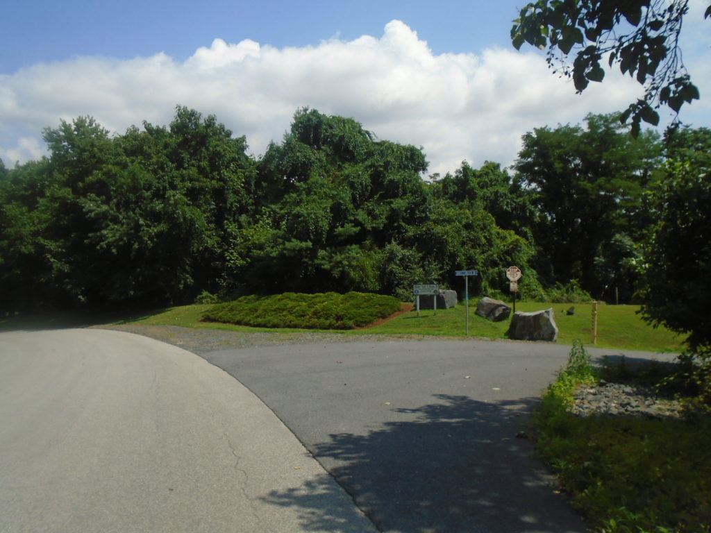
Mile 0.0. The first mile heading west to east is a nice easy gravel road.Mile 1.7. Here’s the right turn off Rt. 623. You almost immediately turn left onto the trail through the Boy Scout camp. Very foggy start to my day.Mile 2.7. You cross a little stream before making the right back onto Rt. 623.Mile 3.1. The left turn off Rt. 623.Mile 3.6. Right turn onto this nice country road.
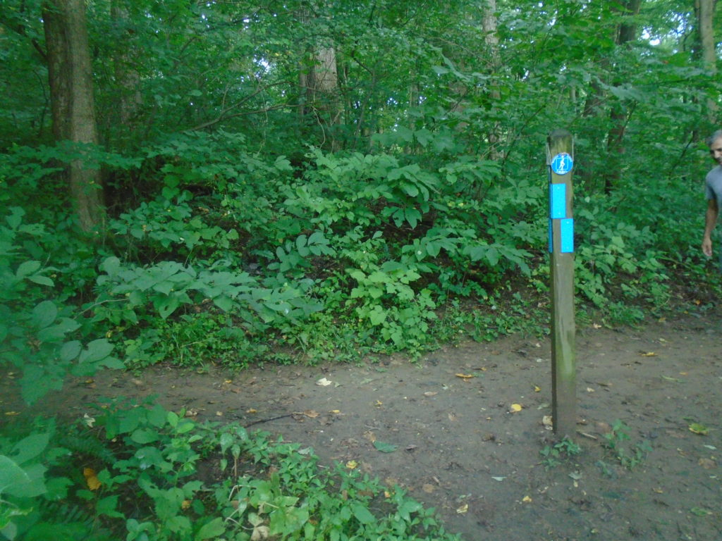
Quick shout out to the Mason-Dixon Trail organization and those responsible for maintaining Map 6. The trails were in good condition and exceptionally well blazed. Almost over-blazed with one every couple hundred feet at most. They looked very fresh compared to ones I’ve seen on other sections and made navigation a piece of cake. Well done!
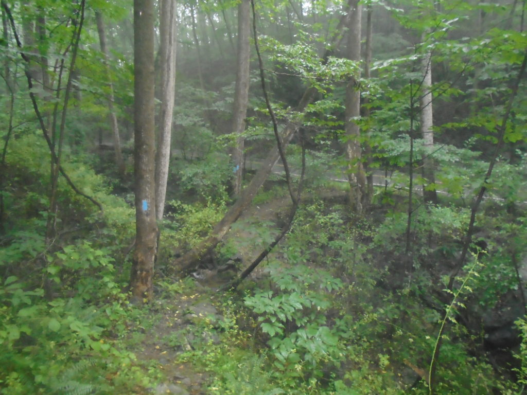
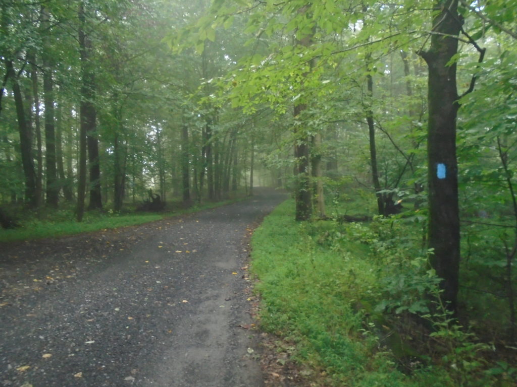
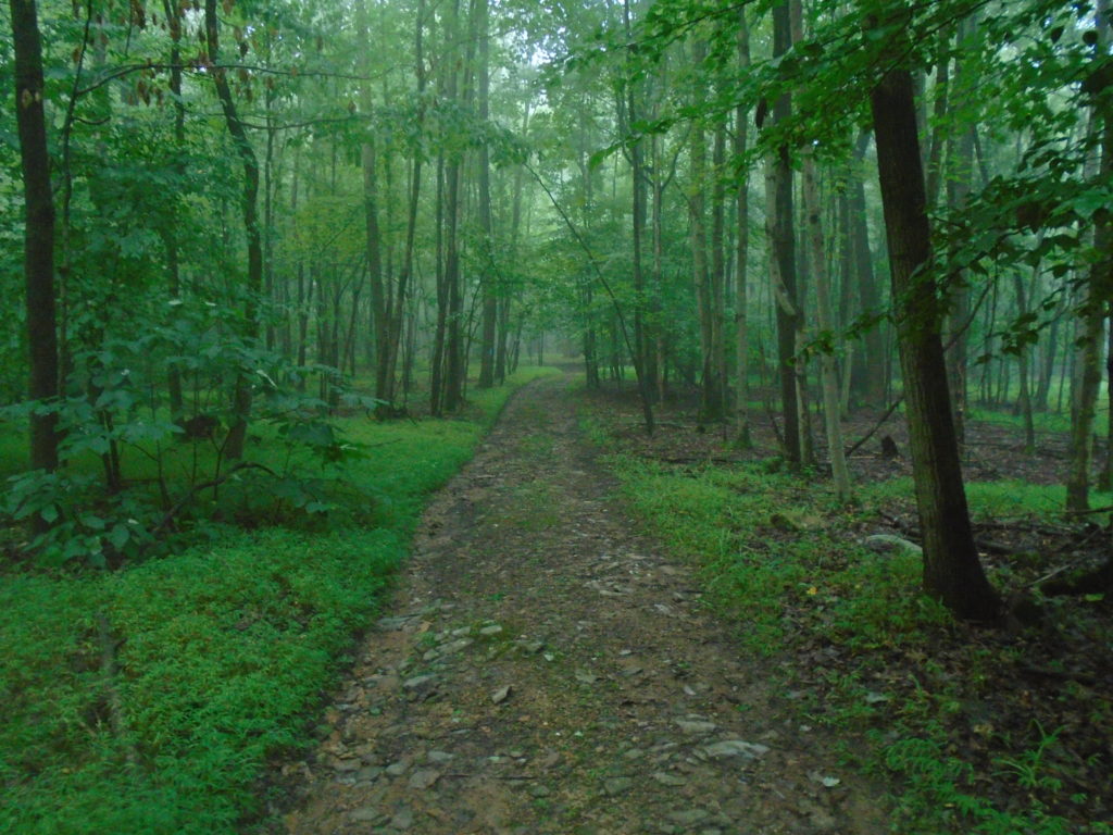
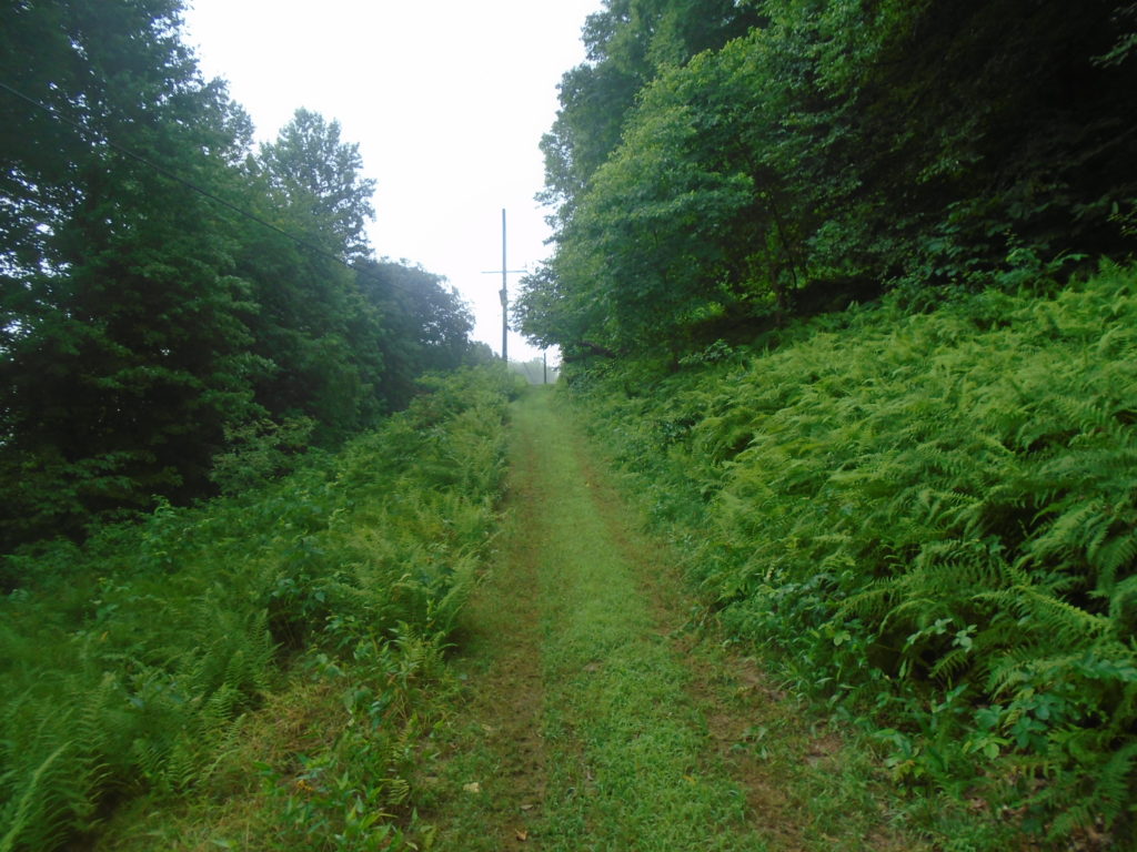
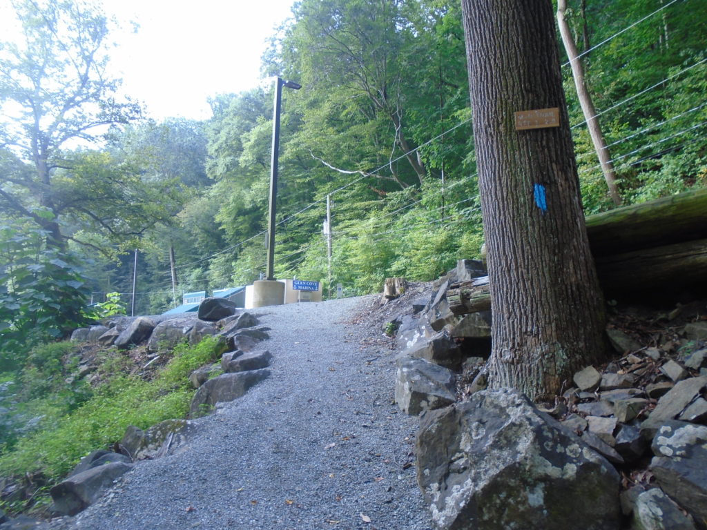
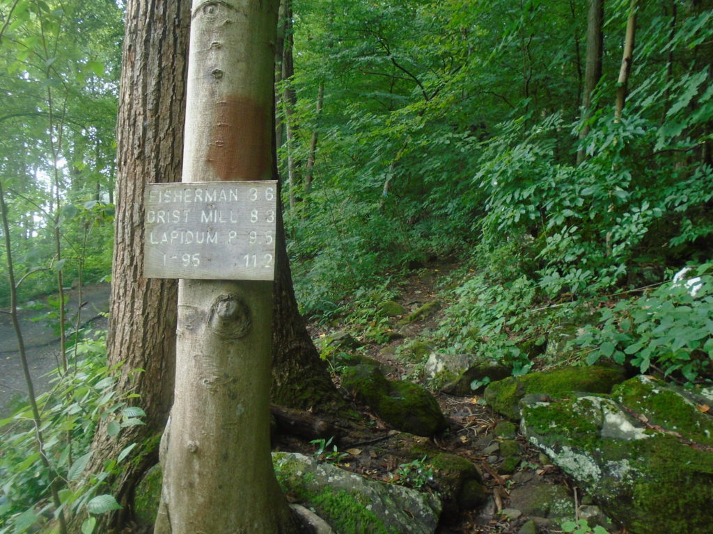
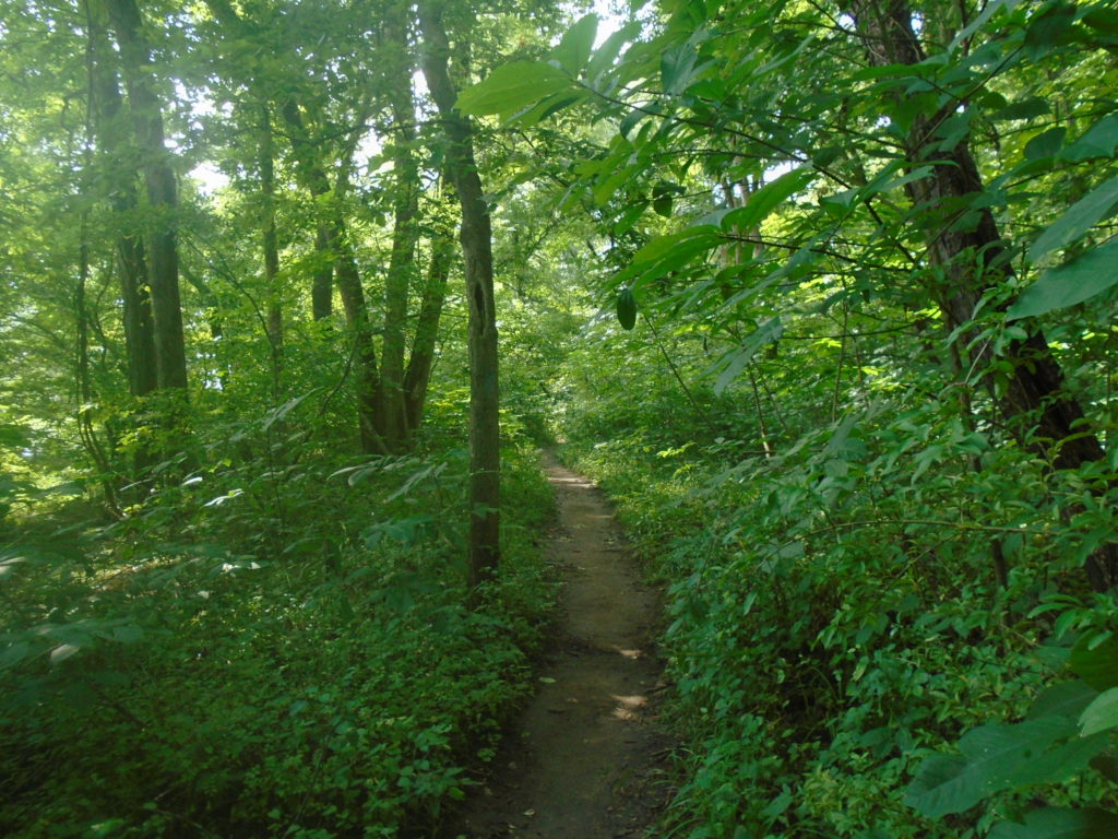
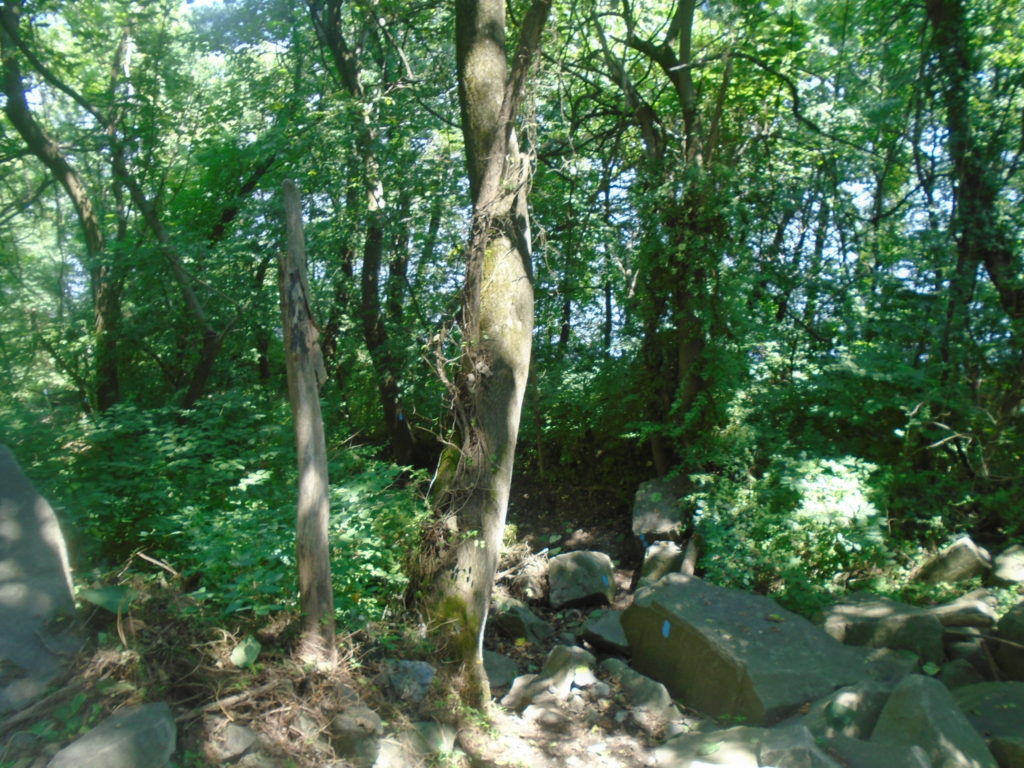
Beautiful trail through the woods.Mile 4.4. This is the only section that confused me as the blazes didn’t match the map. Instead of making a quick left after this right turn and heading downhill you continue up the road. It didn’t help that my glasses were all fogged up and I could only see about 10 feet in front of me. Here’s the next turn. You can see blazes on a tree down on the left.Pretty stretch along the telephone lines.Mile 6.6 at Glen Cove Marina. The sign on the tree says you’re 2.8 miles from Route 1.Another sign just past Glen Cove Marina. What this sign really says is only 3.6 more technical miles until you hit a rail trail.
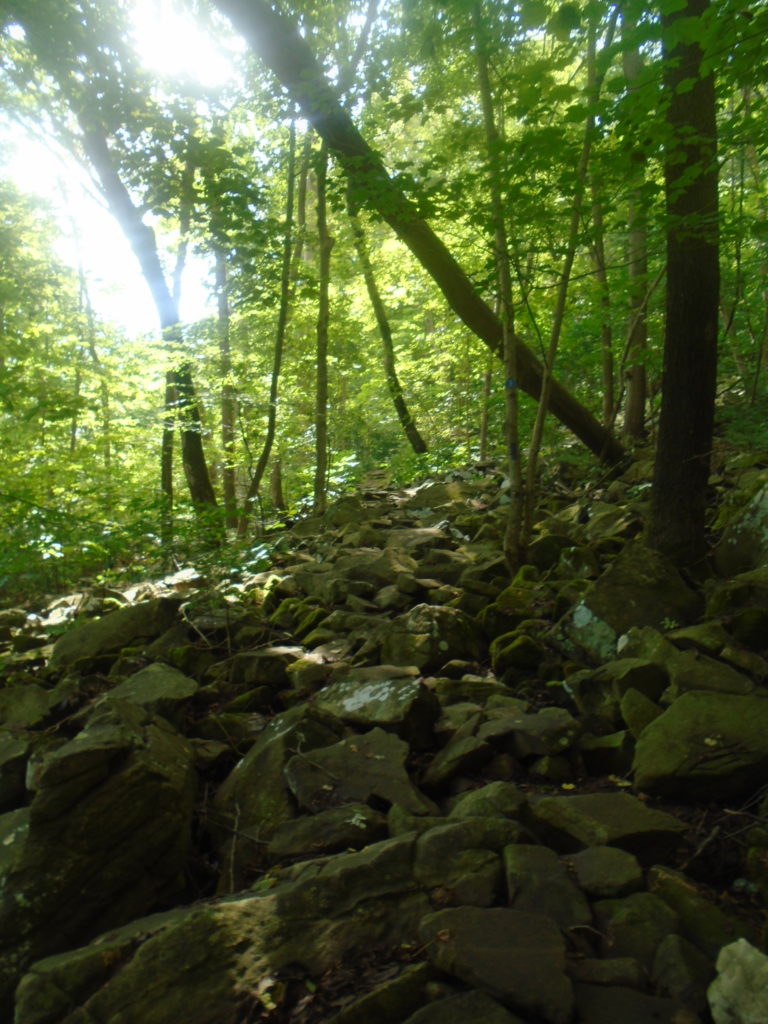
In through this next section, I texted my wife and told her to add an hour to my expected arrival time. I totally underestimated how hard this section was going to be. I was guessing I could run an easy 12 minute pace, however I was hovering in the 15 minute plus range. There was a lot of rocky, technical sections and the elevation changes were just relentless. At 10 miles, I noticed I had already gained 1800 feet.
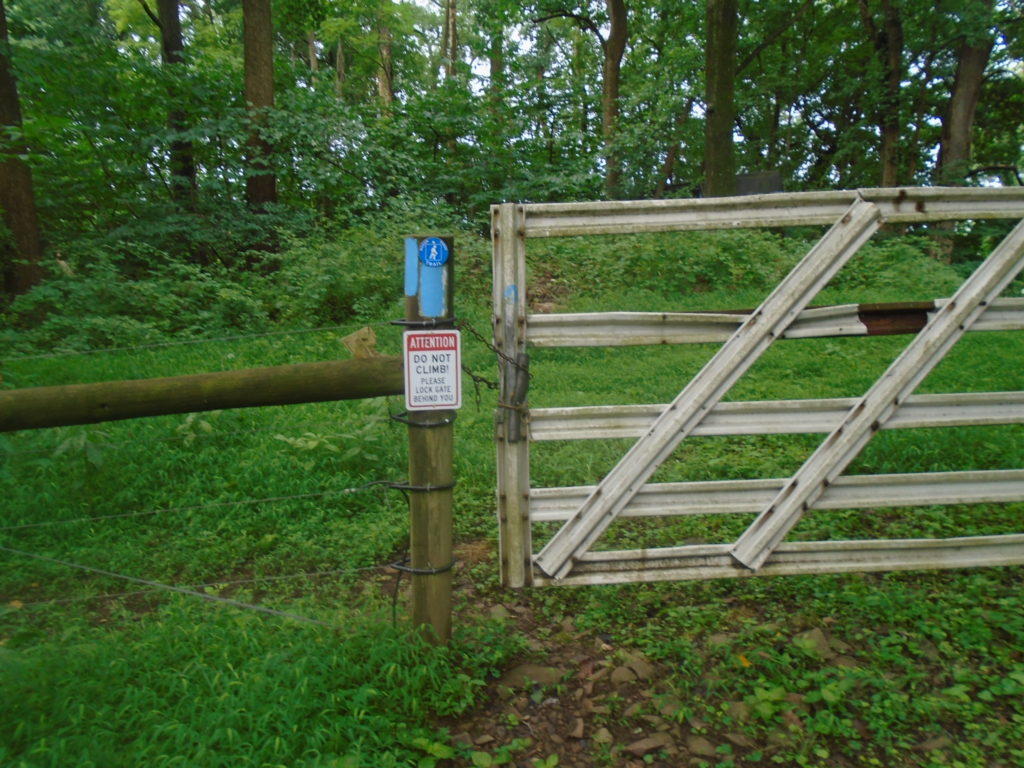
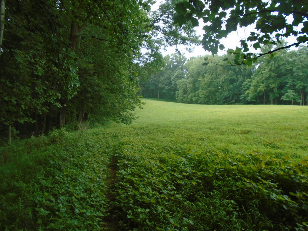
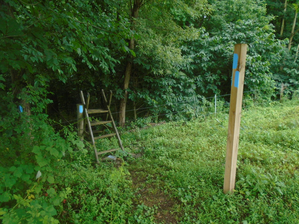
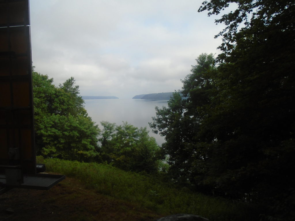
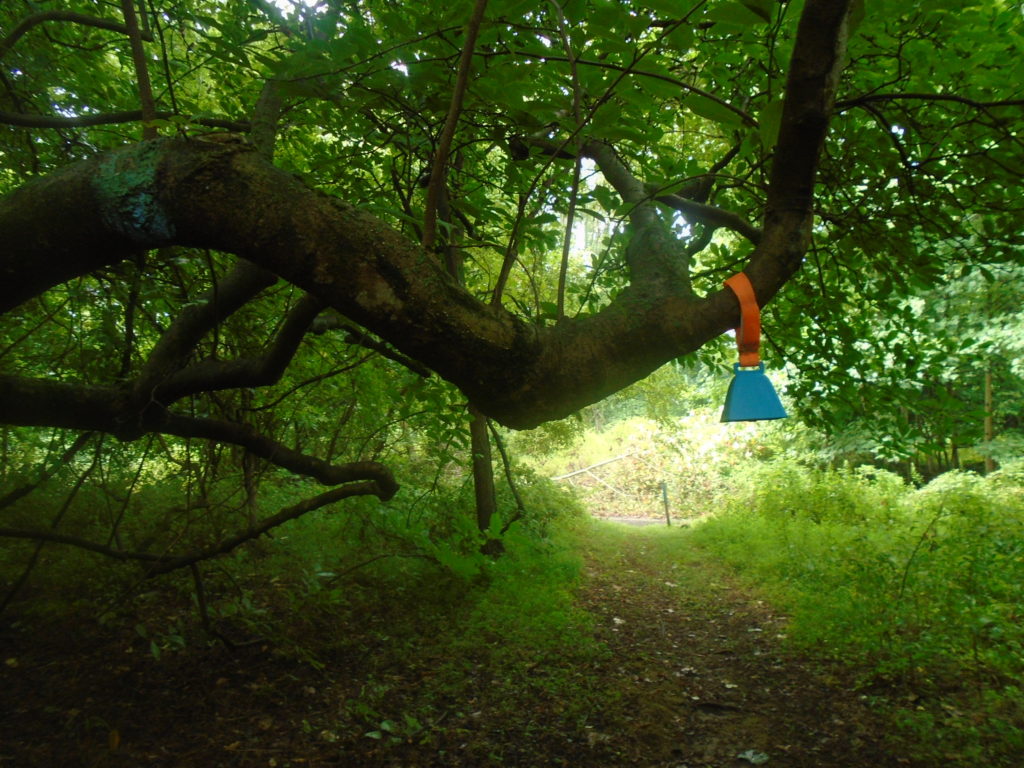
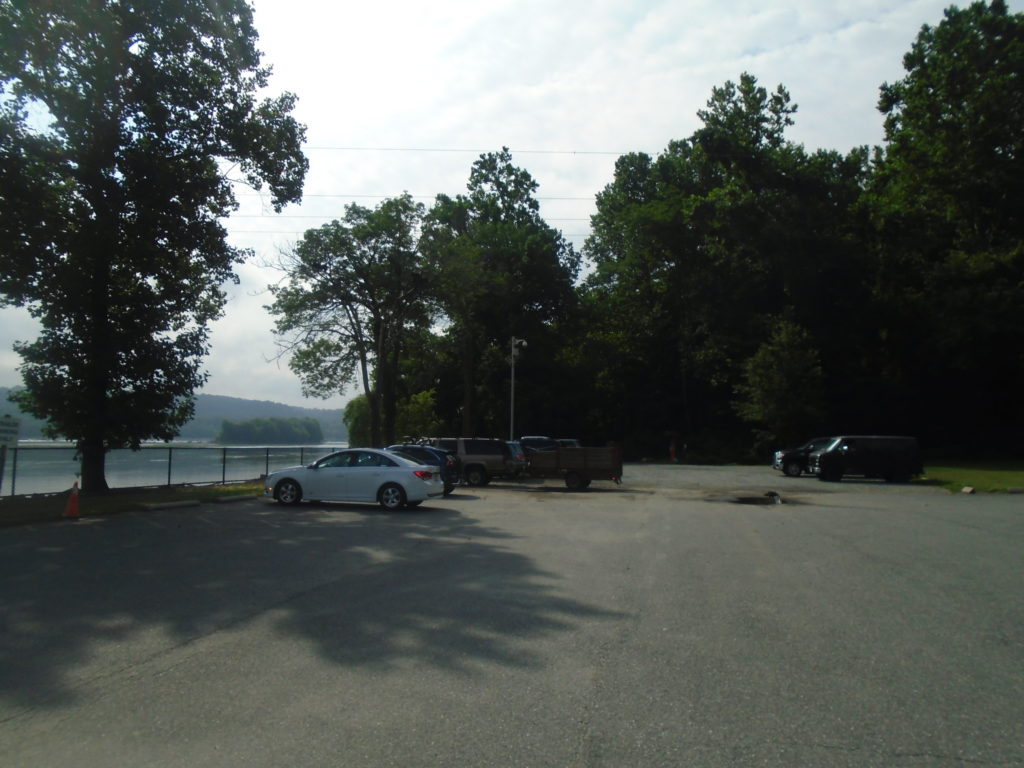
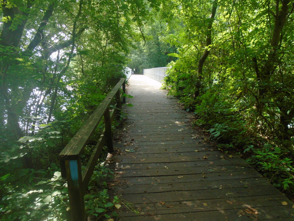
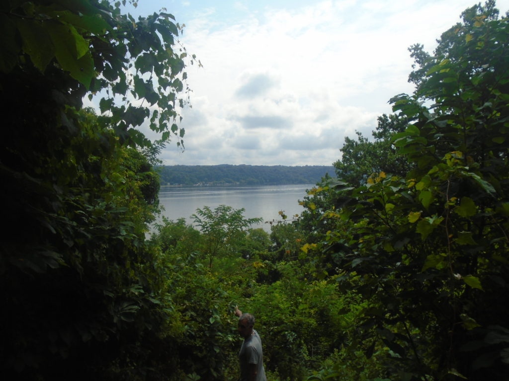
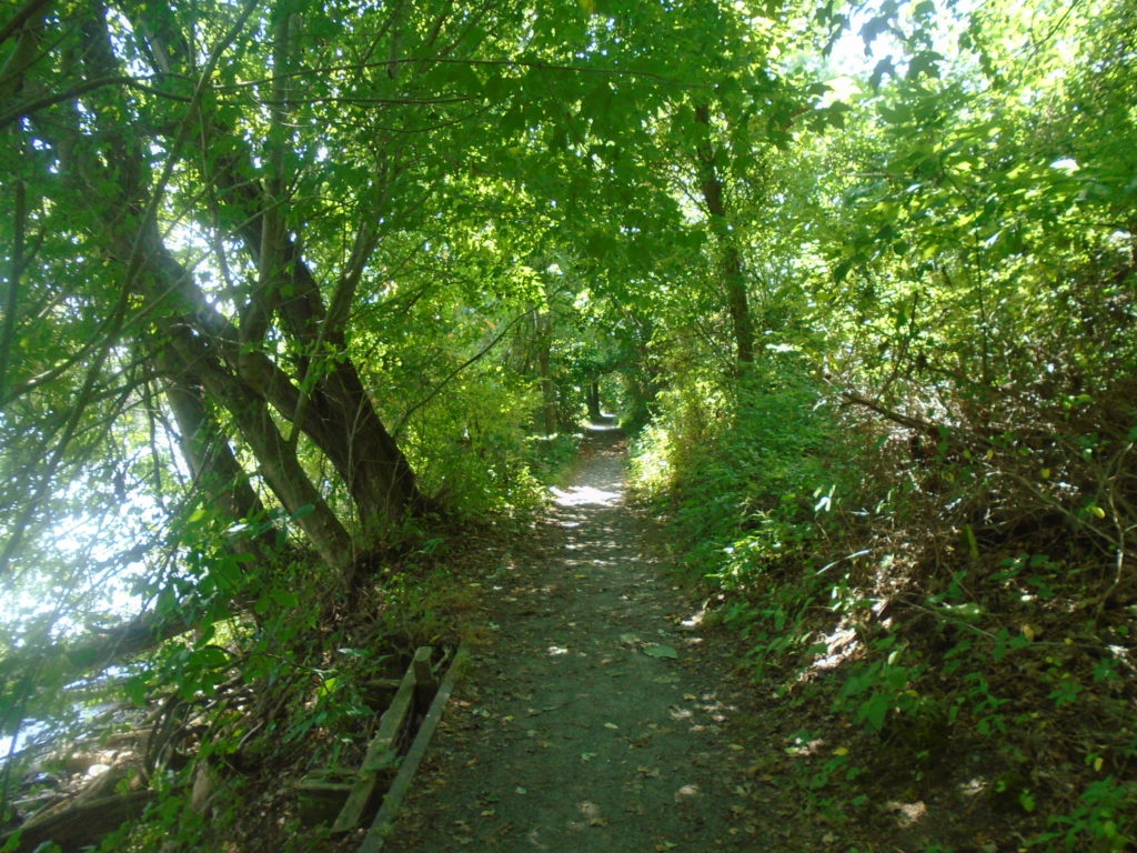
The first of 2 gates at about mile 7.5.Towards the end of a field section where you walk next to the woods.Mile 8.2 where you cross the electric fence on a stile. Not with style mind you, as I almost fell over since the wood was a little slick.Mile 8.9. Nice view of the Susquehanna River next to a large sign board.Mile 9.5. Crossing Rt 1 here can be a little dicy as the traffic moves a decent clip.I’ve no idea why there’s a bell here, but I rang it anyways. Maybe for luck?Mile 10.4 at Fisherman’s Park. You make a right once the trail dumps you out here and then you go straight through this little parking lot onto the greenway.This nice two mile long pancake flat trail along an old RR bed was much appreciated. Mile 12.4. You turn left here when the greenway dead-ends.
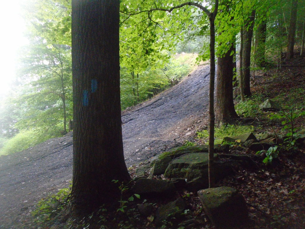
The trails through Susquehanna State Park are well blazed with many round MDT markers found on trees thrown in as well. There weren’t nearly as many blazes though as the first half of this section. So while it was appropriately marked, I started second guessing myself in places because I had been conditioned to see a blaze every couple minutes.
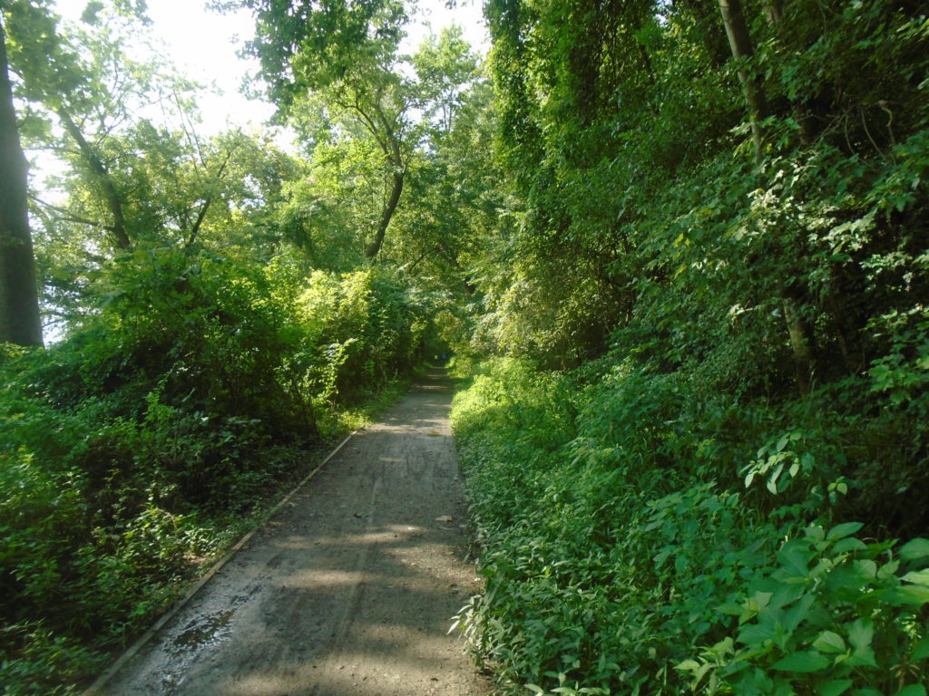
And you get another mile of flat single track trail next to the river.Mile 13.4. Bridge across Deer Creek signifies the end of the easy stuff. Time to start working again.Mile 13.5. You’re only on Stafford Rd here for a short stretch before you turn left up ahead into a parking lot.Some more buttery smooth Mid-Atlantic single track.Mile 14 turn noted with two blazes. The top blaze always notes the direction (i.e. left here). They also threw in the round MDT marker which you’ll see periodically along the trail.
In the picture above, you can just see a man entering the frame. I made the left and started following him up the hill. He asked if I wanted to pass, but I told him I was fine. We struck up a conversation and he mentioned how he was hiking a 15 mile loop. Turns out Saul is a local ultra runner and we had a great time chatting about races we had done. He must have been enjoying our conversation because he started running and would then proceed to drop me on every hill we encountered. The guy is 60 and in much better shape than me. Gives me hope that maybe I don’t have to slow down too much over the next couple years.
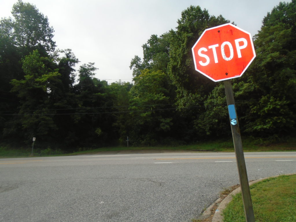
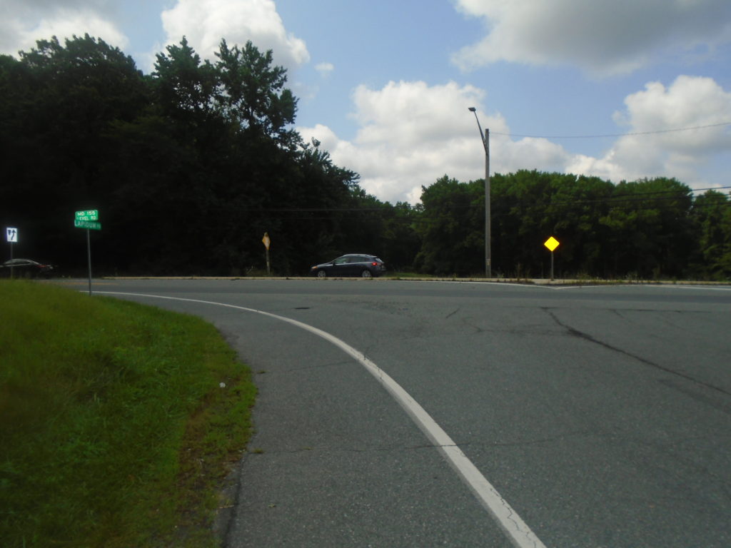
Mile 14.9. The right turn isn’t well marked, but Saul assured me this was the right direction as he led the way. Mile 15.9. Saul pointing out the nice view as we drop down to Lapidum Rd. Yup, Saul still leading the way.Coming up to the bridge across 95. Still trying to keep up with Saul.Mile 18.5. Lapidum Rd Ts into Rt 155. I made the left to stay on the MDT, while Saul headed right to finish up his loop
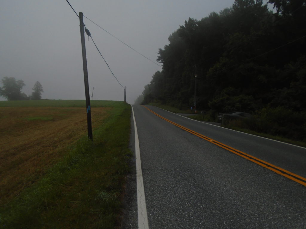
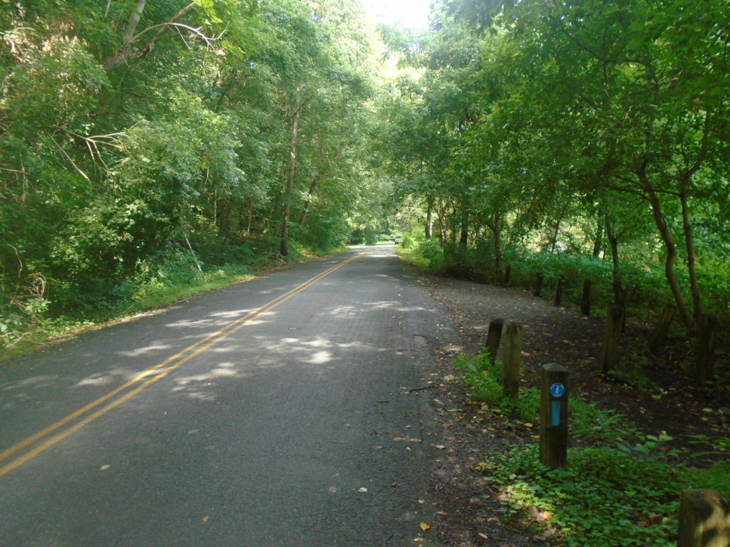
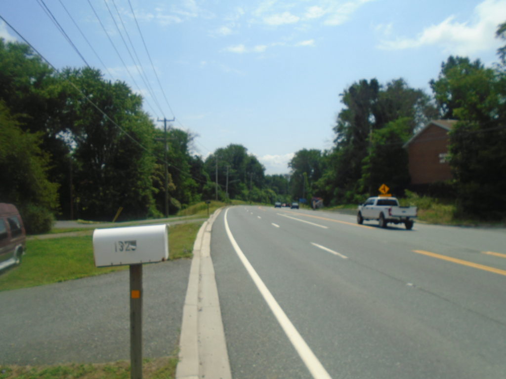
Be careful on Rt 155. This is a very busy road and there’s virtually no shoulder on several sections. The good news is that almost the entire section is a gentle downhill heading east.
Mile 19.8. Coming up to Graceview Dr. There’s a large road sign noting this on the right (blocked by white truck) in addition to the typical blue blazes.Graceview kinda bends around and then turns into Quarry Rd. up there on the left.Mile 20.5. The end of Map 6.
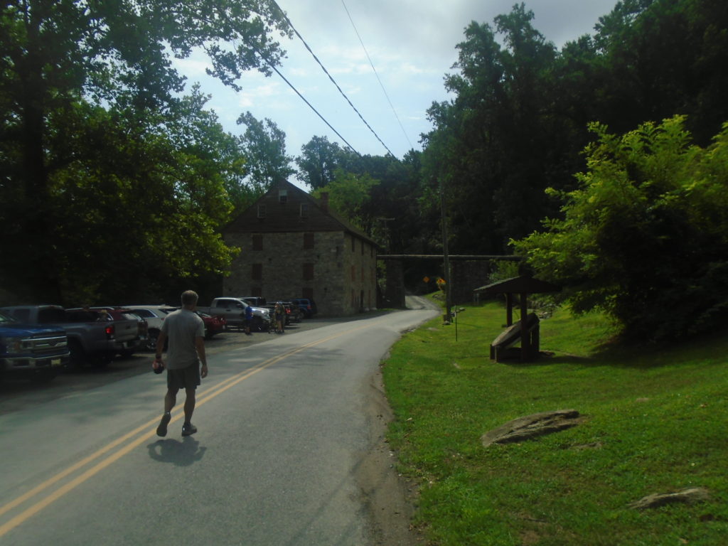
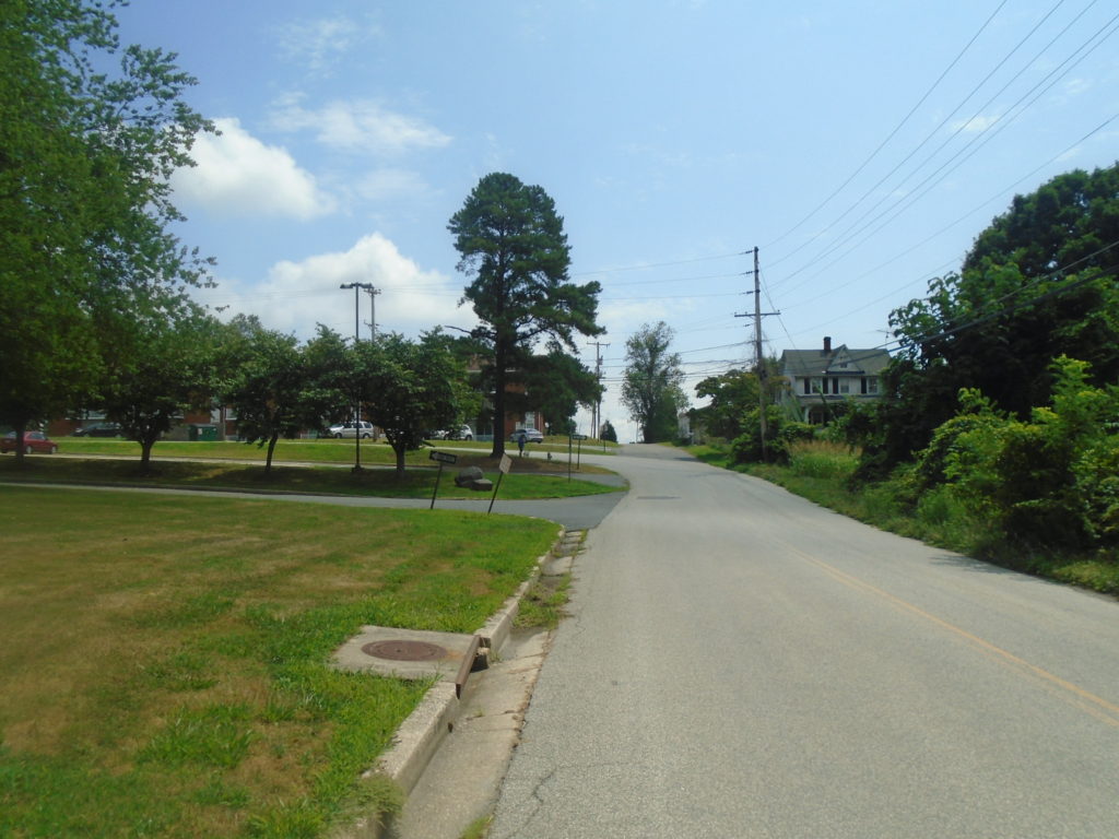
Unfortunately, my day didn’t end here. I started map 7 on the other side of the US 40 bridge so needed to do the first couple miles heading into Havre de Grace. I had basically run out of fluids at this point so I was really dragging and looking forward to getting into civilization so I could quench my thirst.
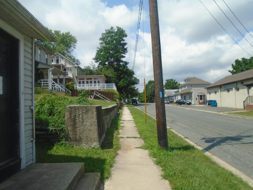
This picture does a grave disservice to how challenging this drop is to start Map 7. It would have been fun on fresh legs. Not so much after almost 5 hours.You have almost a mile on this flat, scenic trail next to the river.Heading up Erie St. with only a couple blocks left to go.
And then I hit US Rt. 40. There were 2 blue blazes signifying the trail turns right, however the bridge is not pedestrian accessible. You need to either take a bus or get a car ride across. I walked into the Royal Farms across the street and commenced drinking about everything cold they had in the store. Overall, I had a great time and thoroughly enjoyed this stretch of trail. I can’t wait to get out and tackle Map 5.