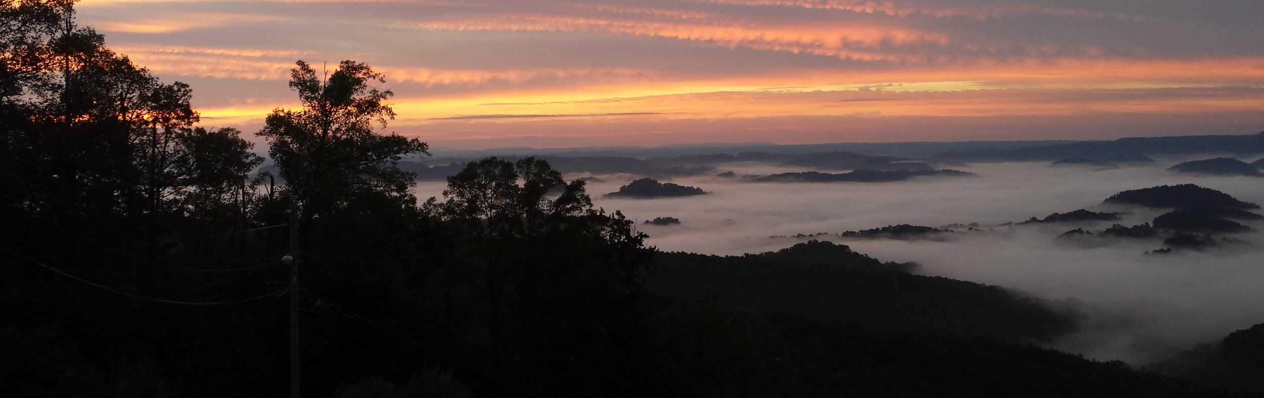
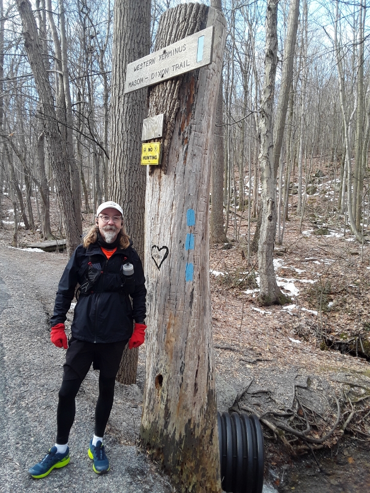
I was able to get out last Saturday and knock out maps 1 and 2 of the Mason-Dixon Trail thus completing the full trail. Overall, it took me 6 outings over almost 2 years to cover the entire distance from the Appalachian Trail to Chadds Ford. I wasn’t exactly sure what I was getting myself into when I decided to do this, but I’m very glad to have done it. The M-DT is right up my alley with it’s variety of trails and roads through towns and country.
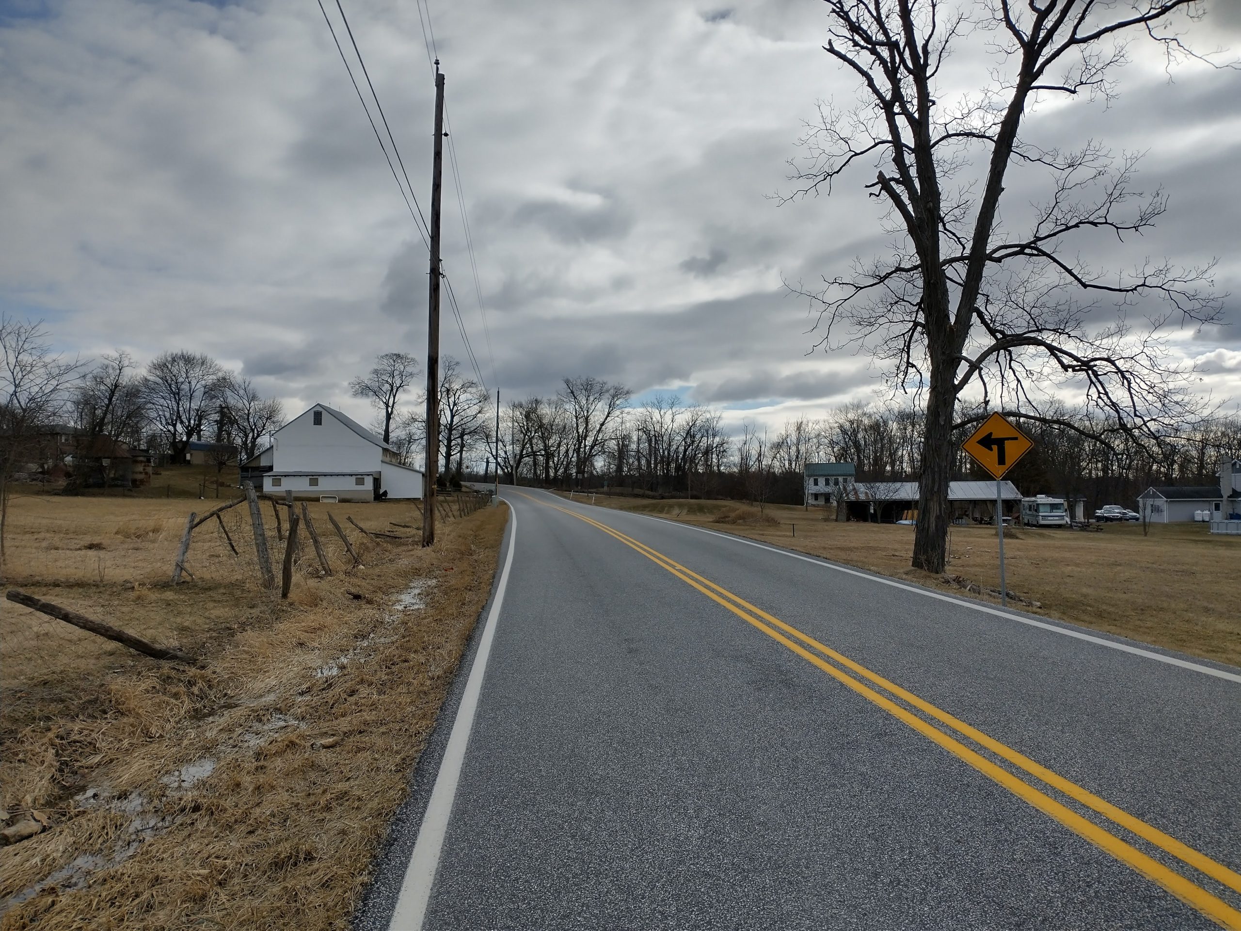
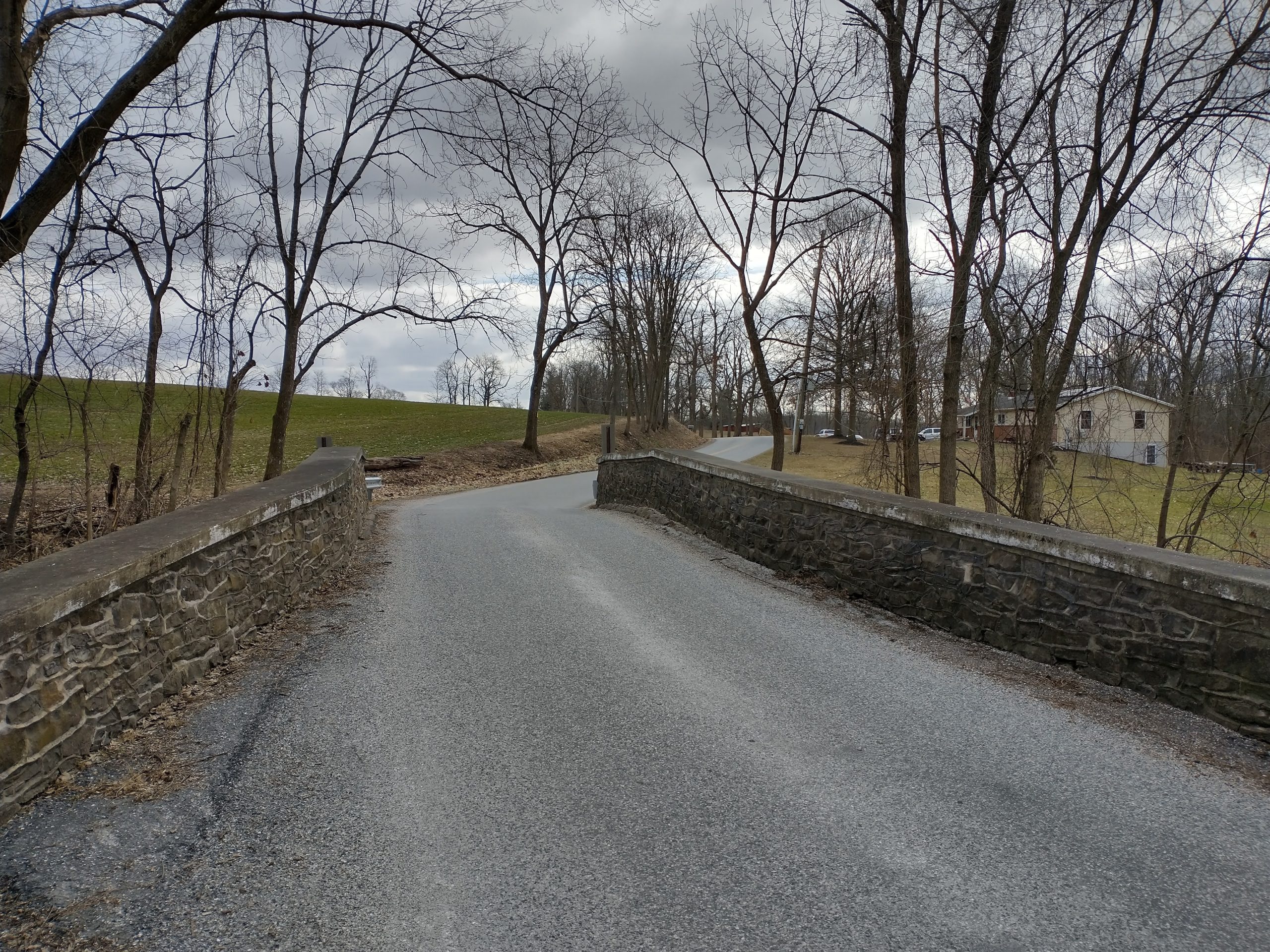
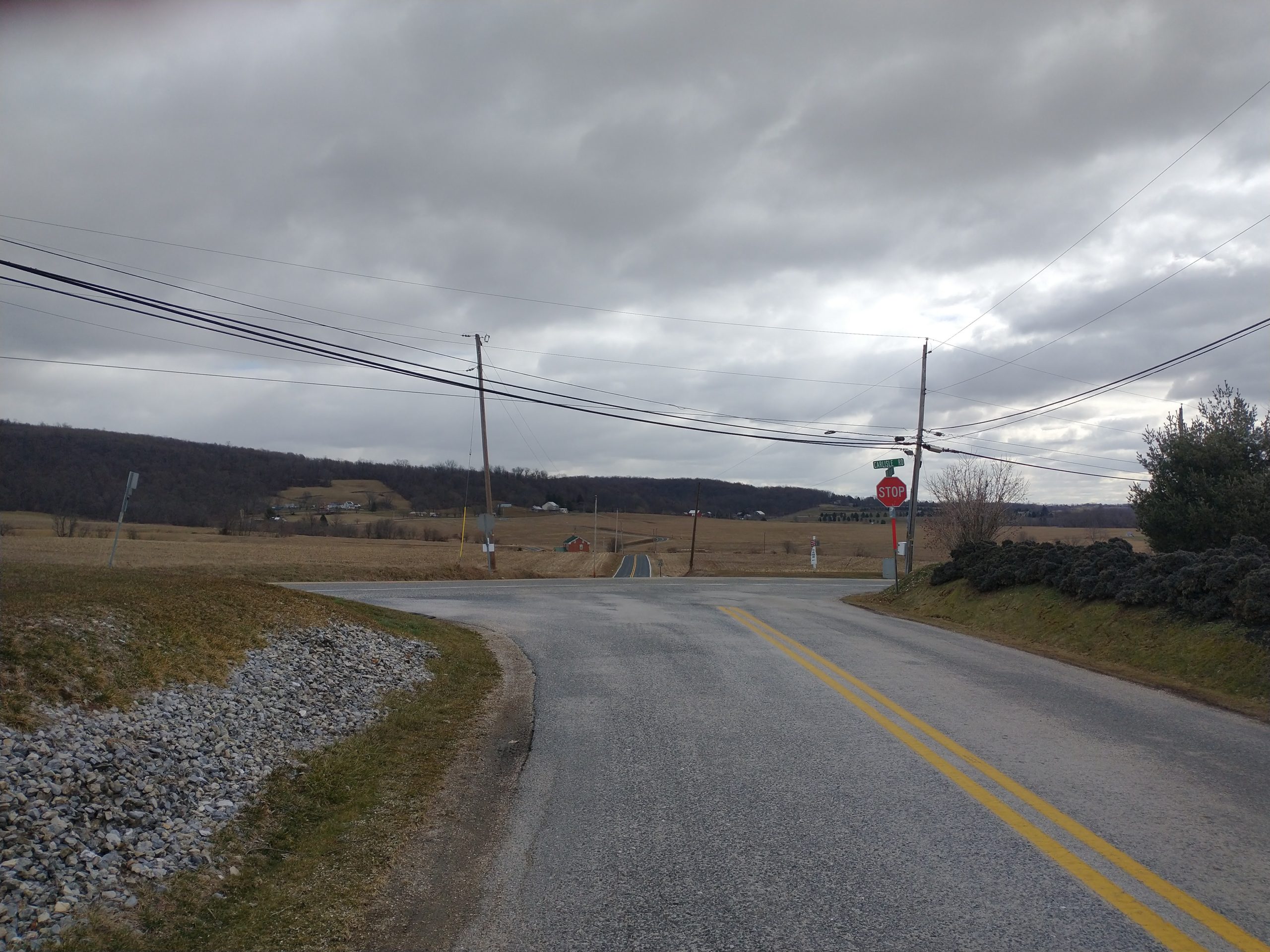
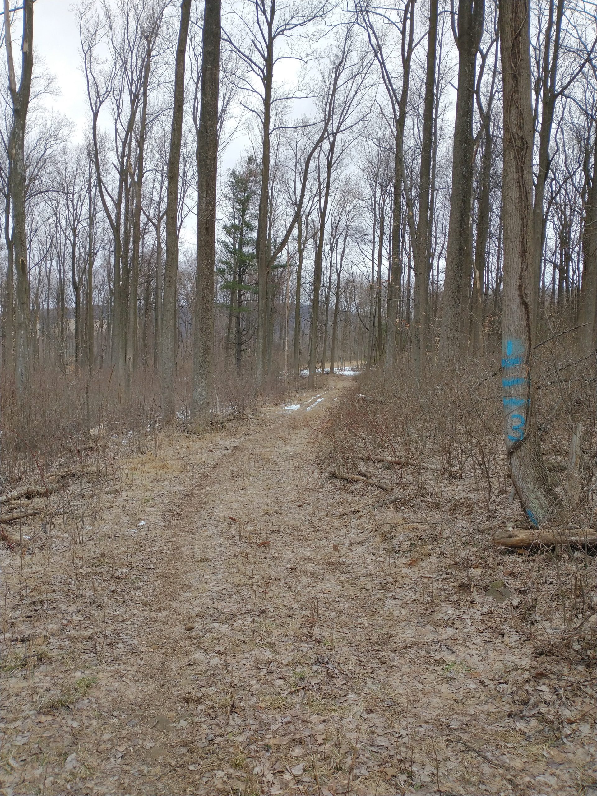
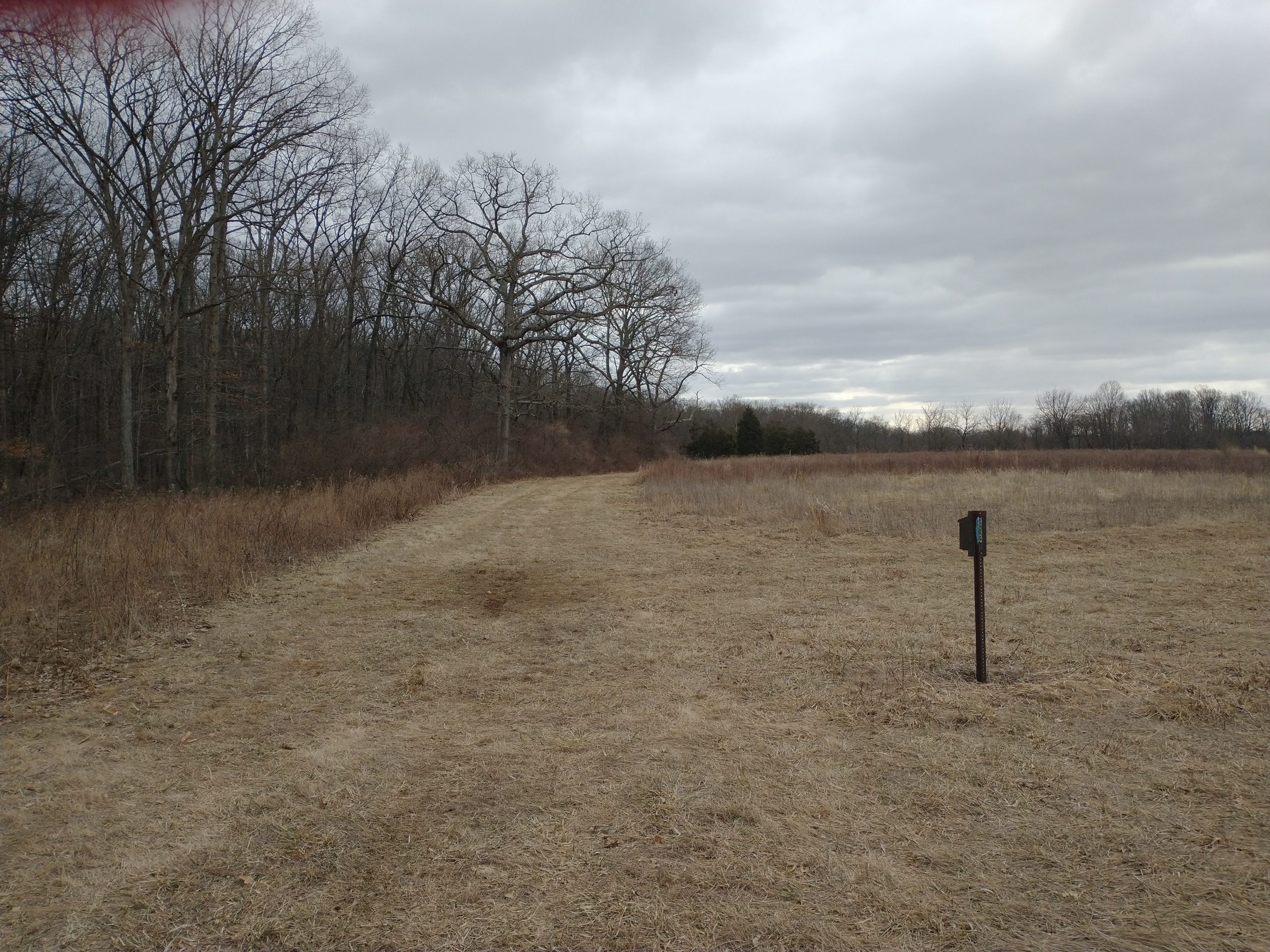
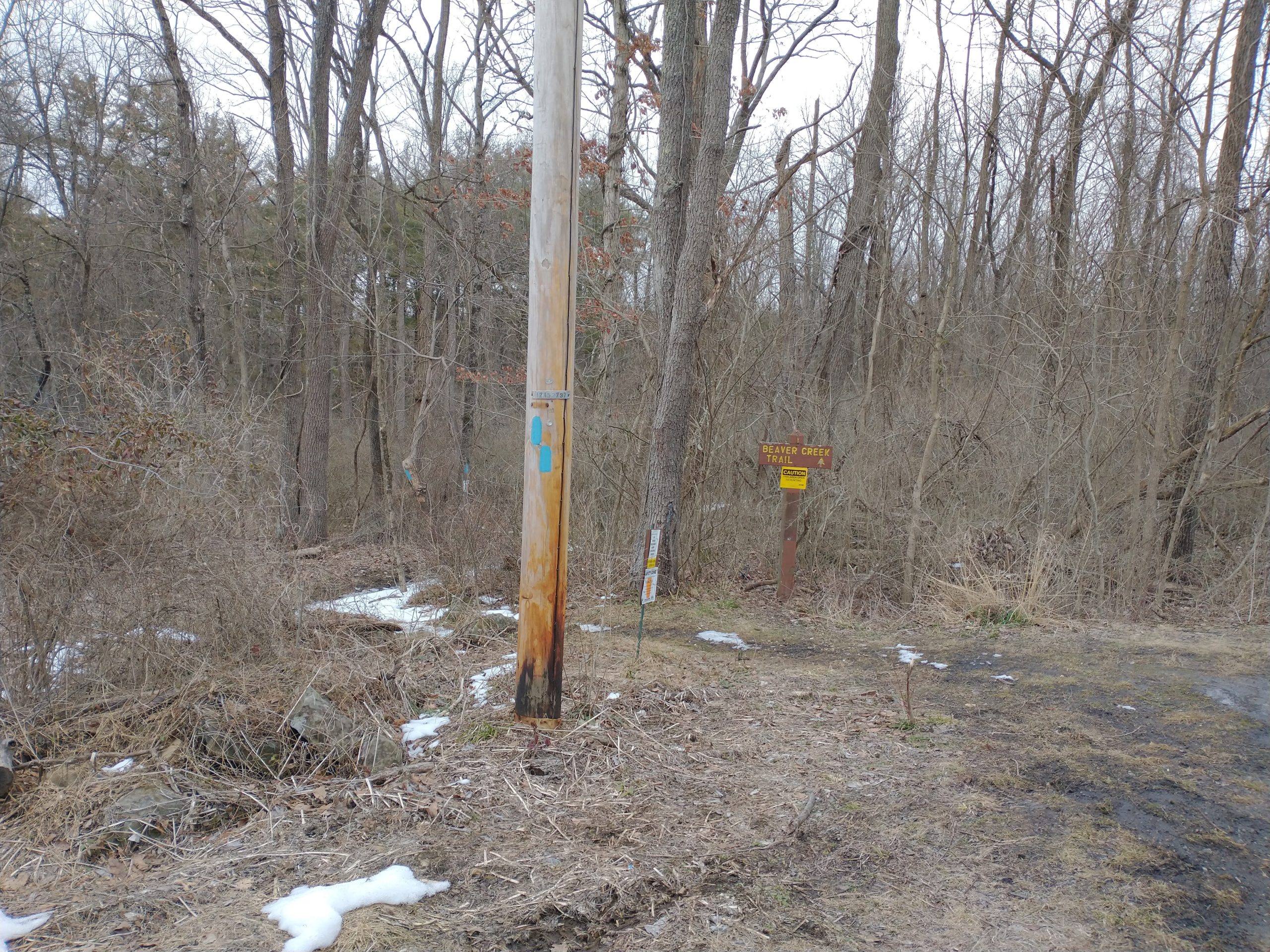
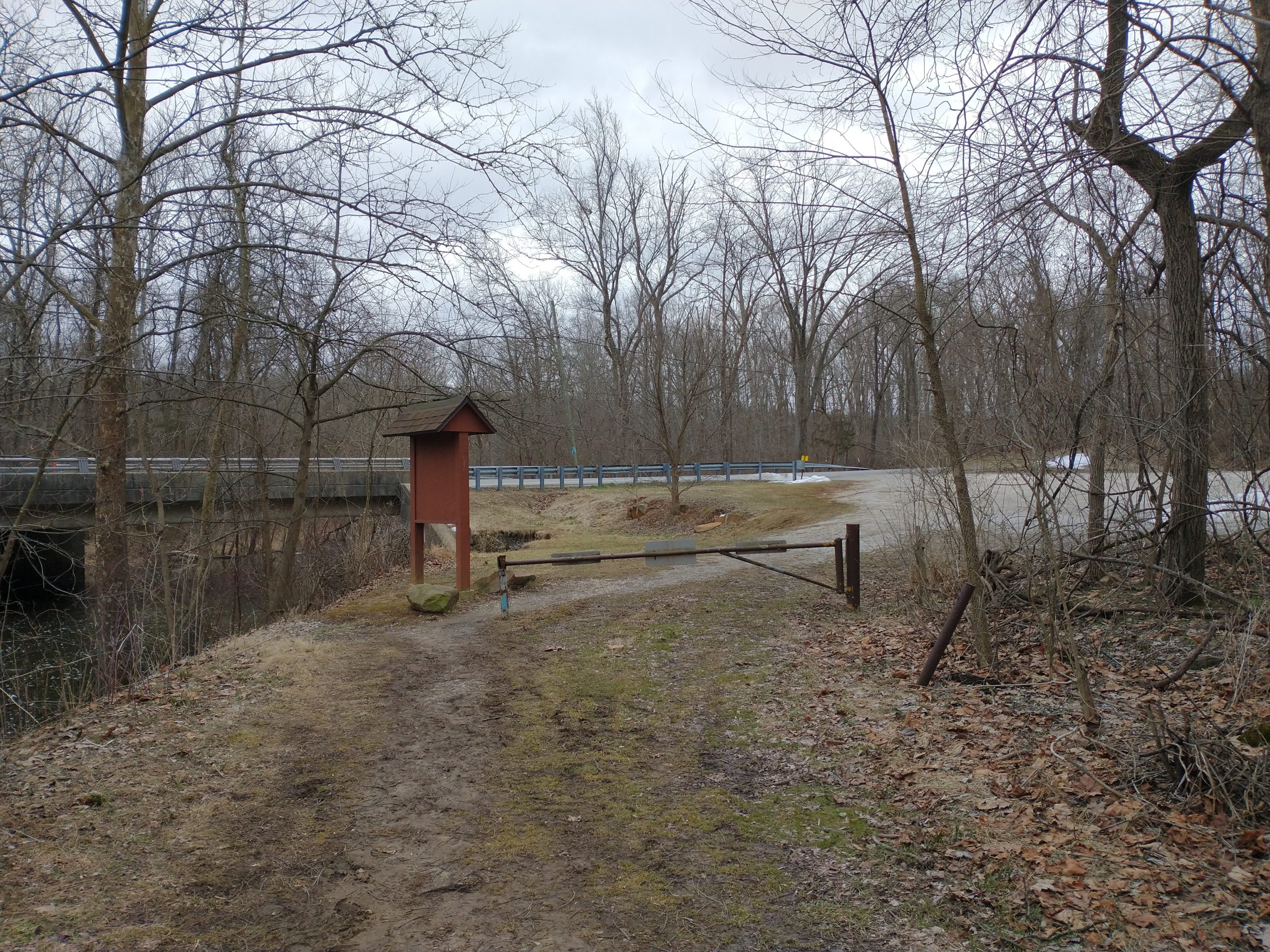
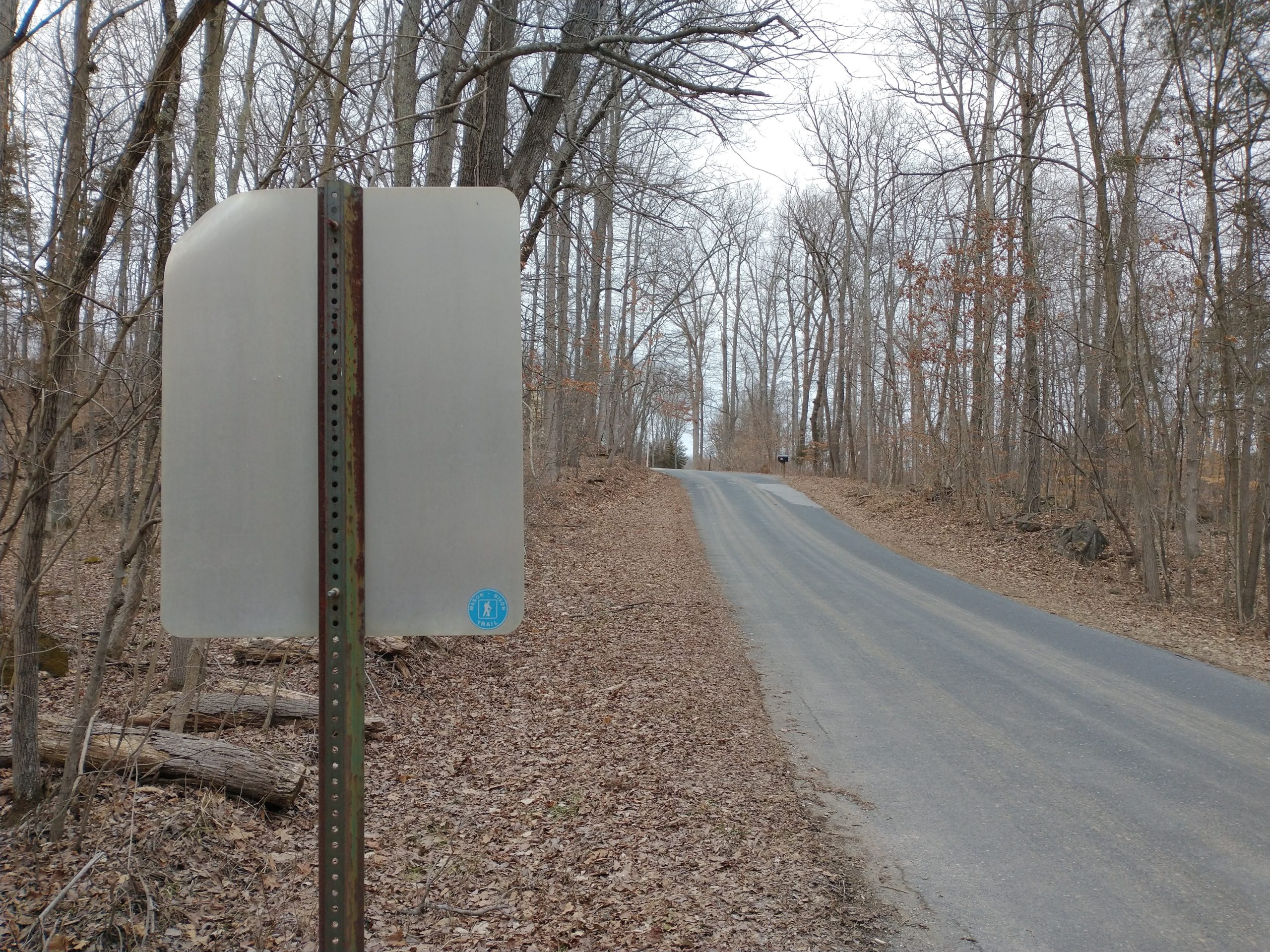
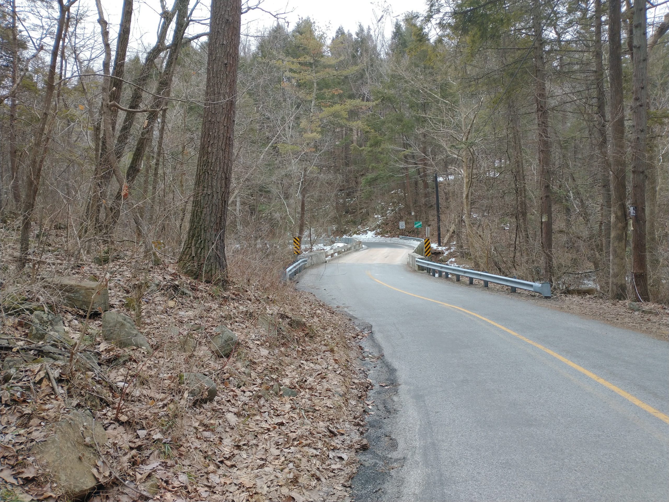
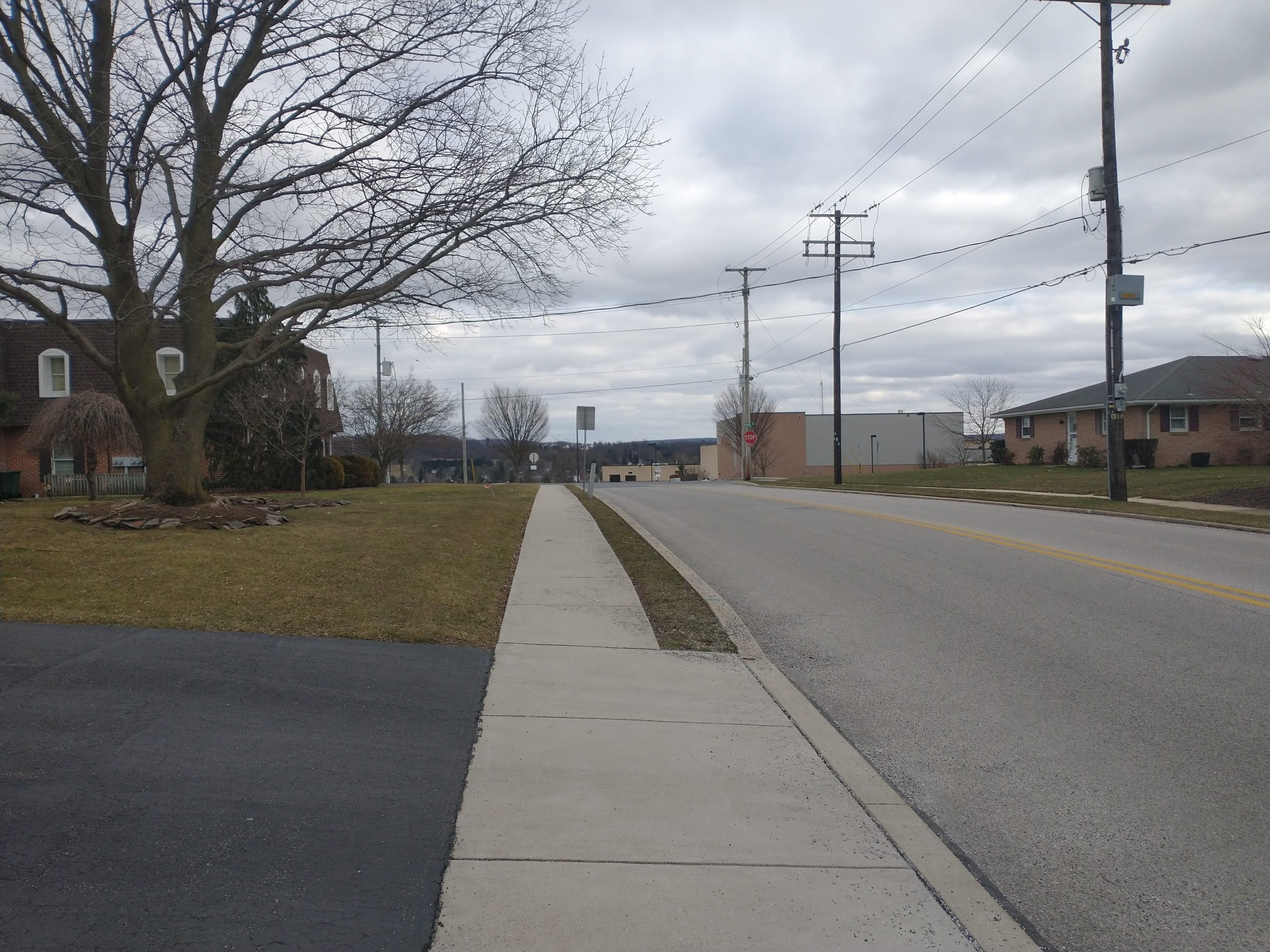
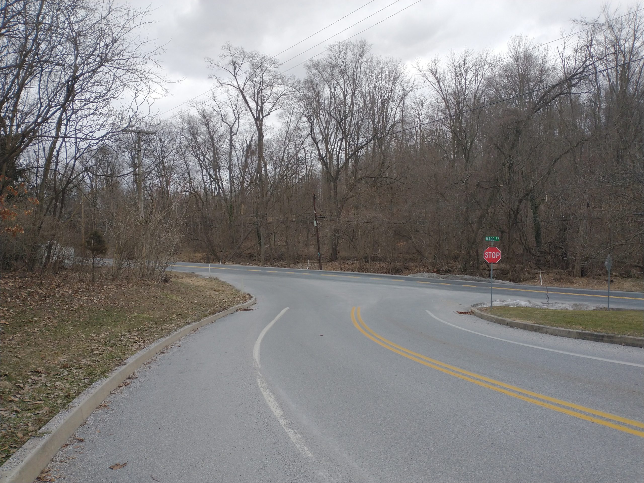
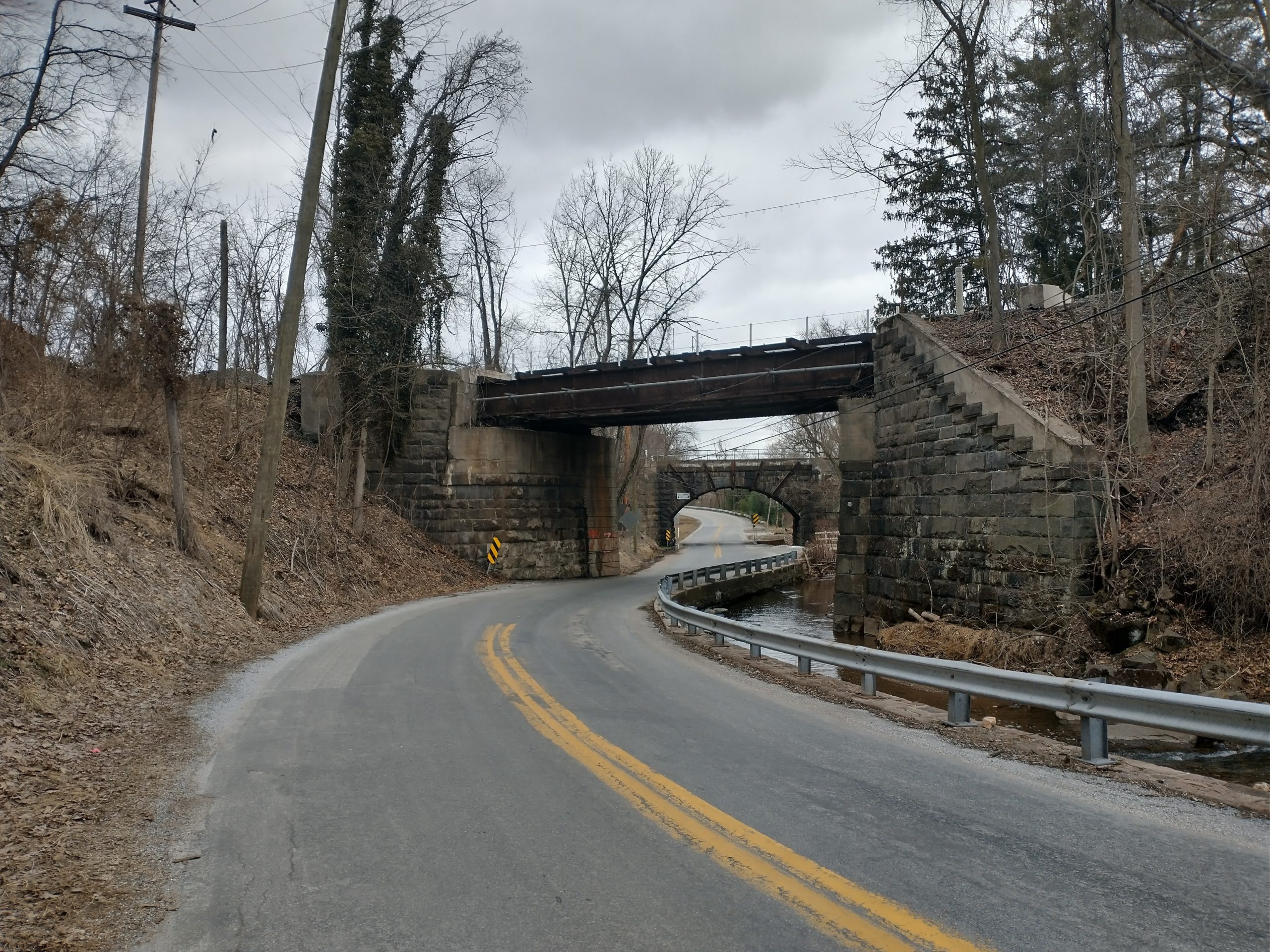
The first 2 maps though are dominated by long road stretches. There are really only two trail segments. There’s a 3 mile section in map 1 starting about 11 miles in and the 7 mile section to start map 2 in Gifford Pinchot state park. Despite all the roads, traffic was only heavy in two places. The first is Old York Rd towards the end of map 1, which was very busy with virtually no shoulder. Luckily, you were only on this for a quarter mile or so before turning off. The other was N. George St (Rt 181) towards the end of map 2. This was probably the biggest road, but the shoulder was huge so felt much safer than many of the other roads. Not that I felt unsafe elsewhere as traffic wasn’t too heavy. Maybe the roads are busier during the week, but there were many miles where I might see only a car or two.

If you want to read about the rest of the M-DT, here are my trip reports for maps 3-4, map 5, map 6, maps 7-8, and maps 9-10.
One thought on “M-DT Trip Report – Maps 1&2”
Comments are closed.